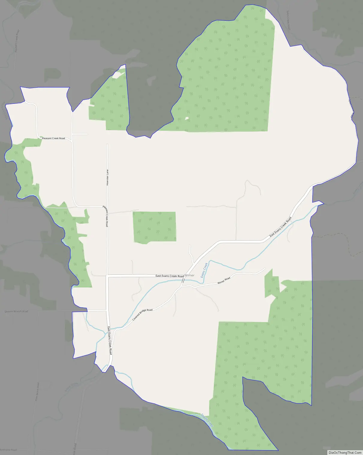
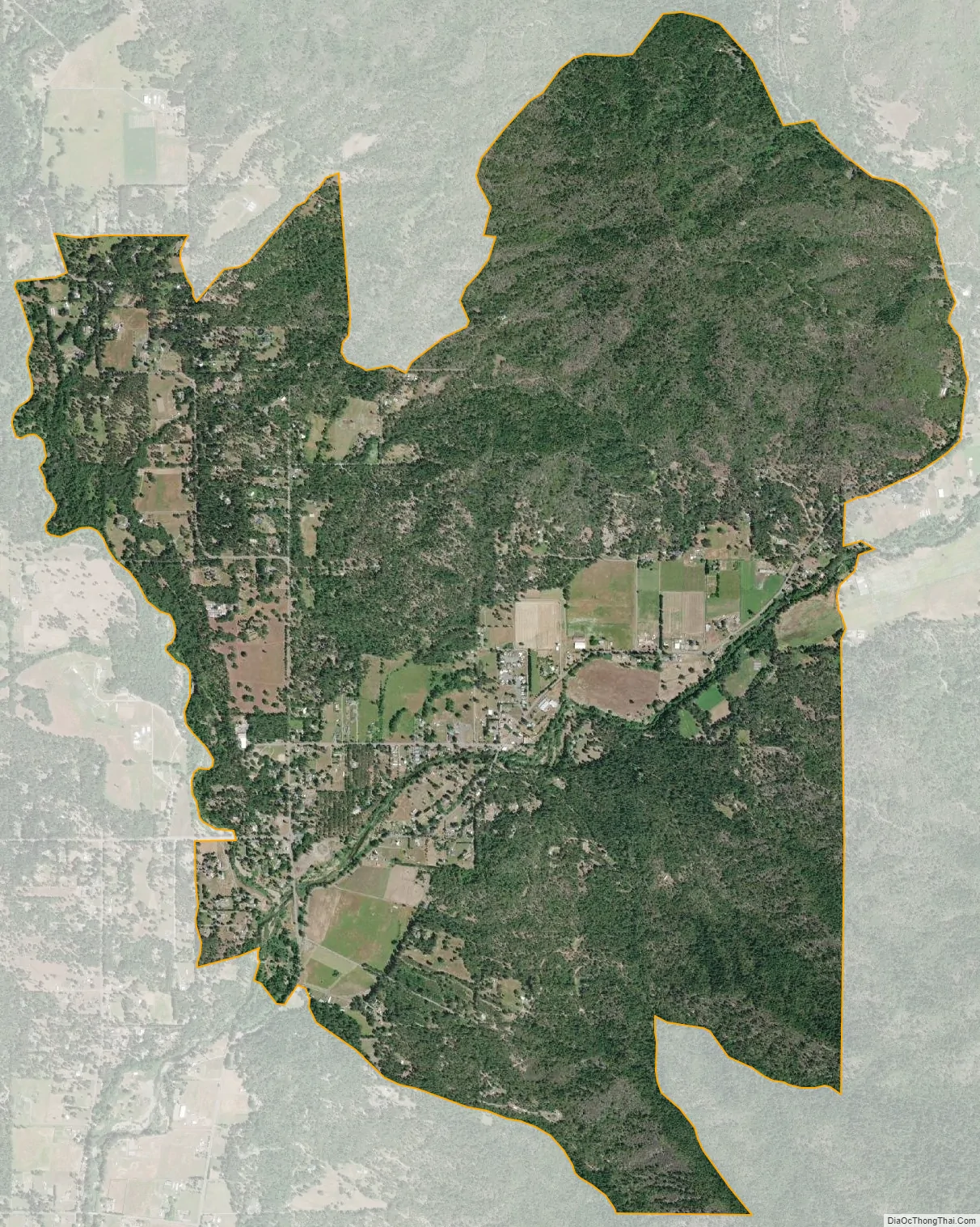
Wimer is an unincorporated community and census-designated place (CDP) in Jackson County, Oregon, United States. As of the 2010 census it had a population of 678. Wimer lies along Evans Creek north of the city of Rogue River.
The community was named for a relative of William Wimer, who edited a newspaper in Grants Pass in 1886–87. Grants Pass is about 17 miles (27 km) southwest of Wimer. William Wimer was also said to have helped establish a post office in Wimer, which remained open until 1909. Simon E. Simpkins was the first postmaster.
Wimer Bridge is a covered bridge that crosses Evans Creek in Wimer. It replaced a 1927 version of the bridge that collapsed into the creek in 2003. In 2008, with the help of federal funds and local labor, the bridge was replaced with a look-alike using stronger materials. The one-way bridge, still 17 feet (5.2 m) wide, as was the original, has a load limit of 10 tons. This version of the bridge opened to traffic in February 2008.
| Name: | Wimer CDP |
|---|---|
| LSAD Code: | 57 |
| LSAD Description: | CDP (suffix) |
| State: | Oregon |
| County: | Jackson County |
| Elevation: | 1,125 ft (343 m) |
| Total Area: | 4.96 sq mi (12.84 km²) |
| Land Area: | 4.96 sq mi (12.84 km²) |
| Water Area: | 0.00 sq mi (0.00 km²) |
| Total Population: | 690 |
| Population Density: | 139.20/sq mi (53.74/km²) |
| FIPS code: | 4182850 |
| GNISfeature ID: | 1129208 |
Online Interactive Map
Click on ![]() to view map in "full screen" mode.
to view map in "full screen" mode.
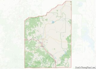
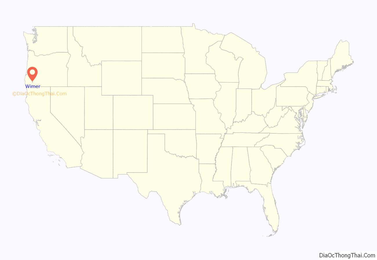
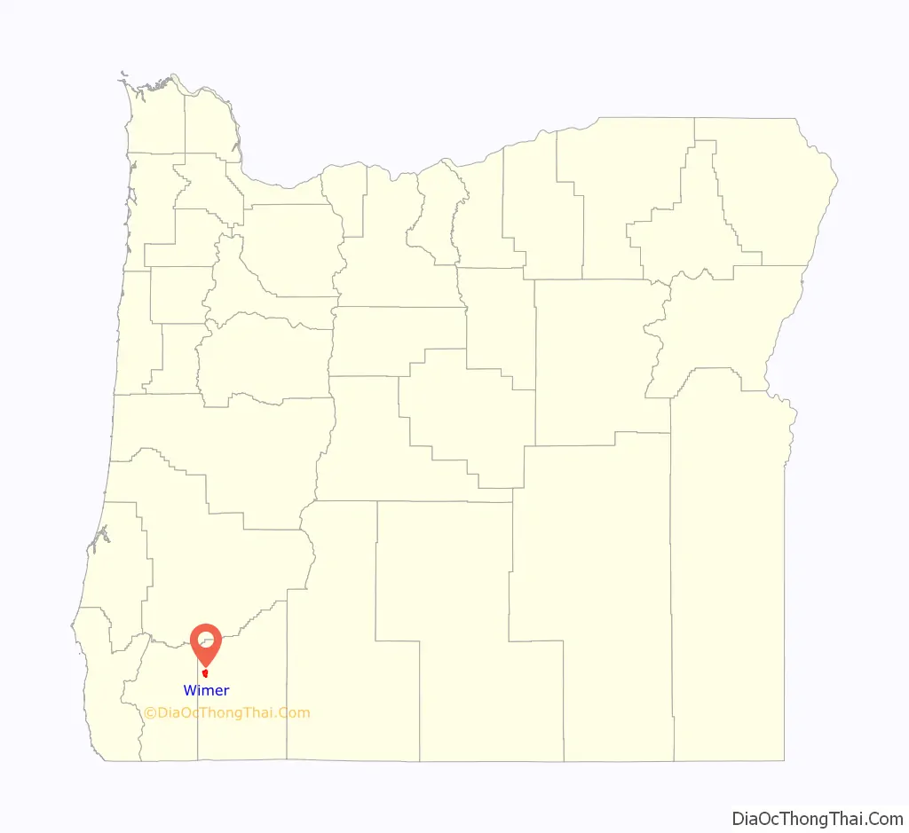
Wimer location map. Where is Wimer CDP?
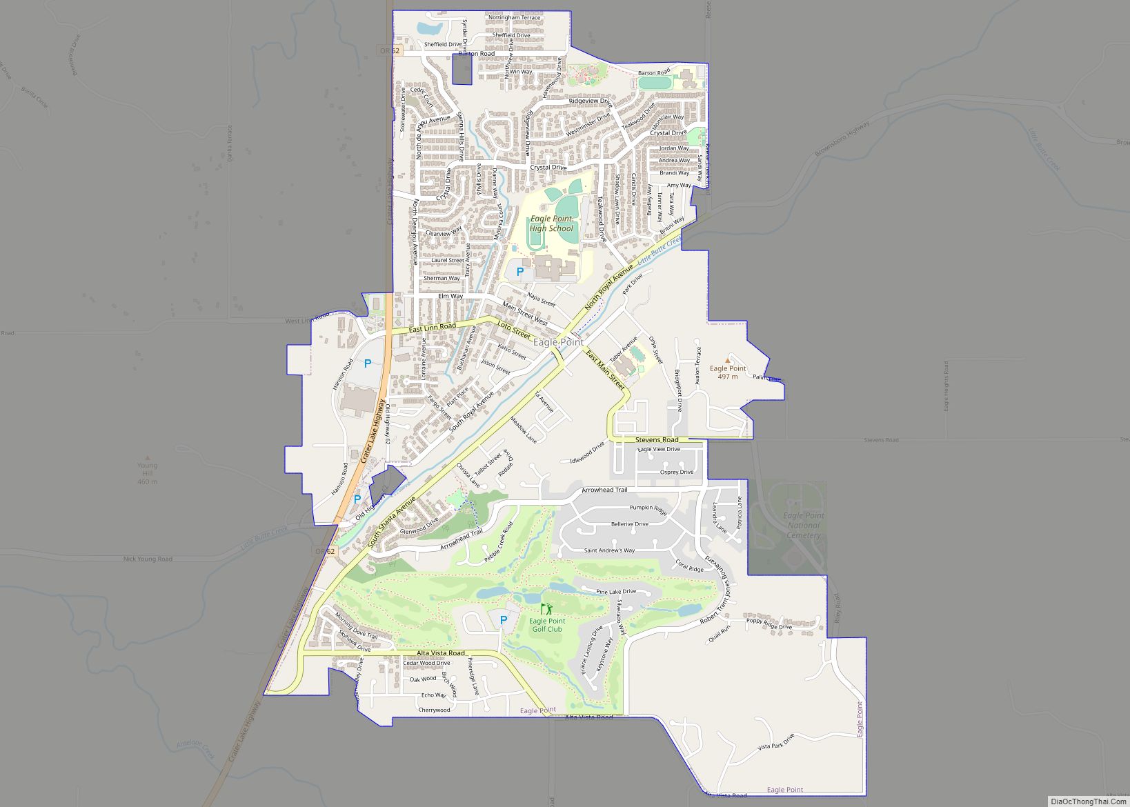
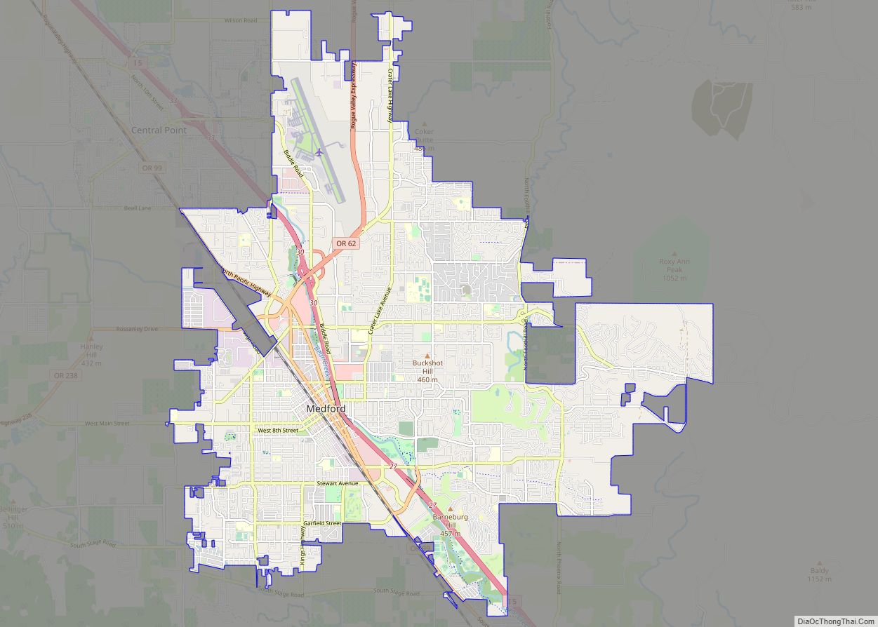
Wimer Road Map
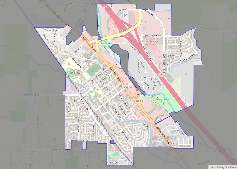
Wimer city Satellite Map
See also
Map of Oregon State and its subdivision: Map of other states:- Alabama
- Alaska
- Arizona
- Arkansas
- California
- Colorado
- Connecticut
- Delaware
- District of Columbia
- Florida
- Georgia
- Hawaii
- Idaho
- Illinois
- Indiana
- Iowa
- Kansas
- Kentucky
- Louisiana
- Maine
- Maryland
- Massachusetts
- Michigan
- Minnesota
- Mississippi
- Missouri
- Montana
- Nebraska
- Nevada
- New Hampshire
- New Jersey
- New Mexico
- New York
- North Carolina
- North Dakota
- Ohio
- Oklahoma
- Oregon
- Pennsylvania
- Rhode Island
- South Carolina
- South Dakota
- Tennessee
- Texas
- Utah
- Vermont
- Virginia
- Washington
- West Virginia
- Wisconsin
- Wyoming