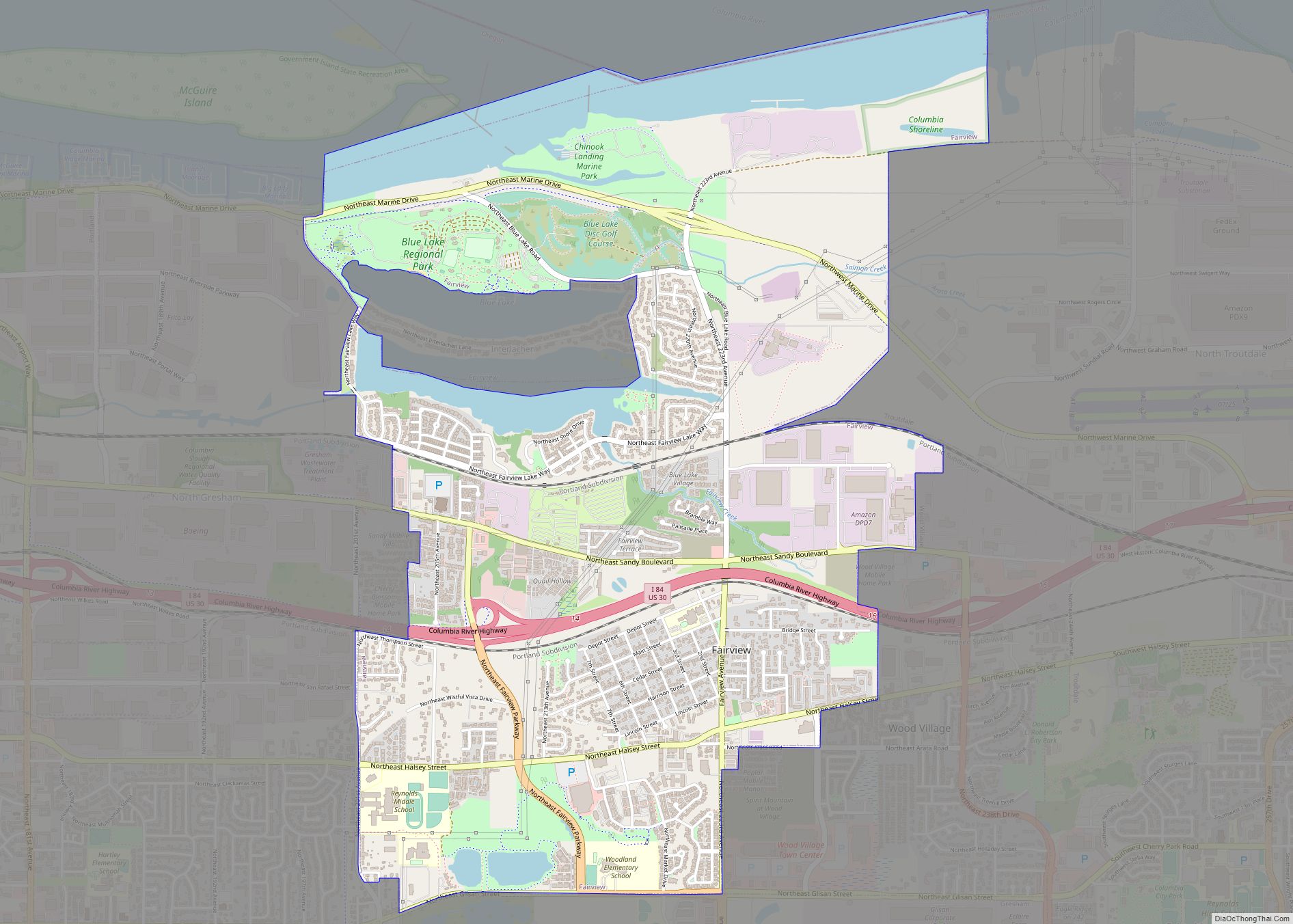
Wood Village is a city in Multnomah County, Oregon, United States. The population was 3,878 at the 2010 census. Despite the name, Wood Village is classified as a city.
| Name: | Wood Village city |
|---|---|
| LSAD Code: | 25 |
| LSAD Description: | city (suffix) |
| State: | Oregon |
| County: | Multnomah County |
| Incorporated: | 1951 |
| Elevation: | 90–330 ft (27.4 –100.6 m) |
| Total Area: | 0.94 sq mi (2.44 km²) |
| Land Area: | 0.94 sq mi (2.44 km²) |
| Water Area: | 0.00 sq mi (0.00 km²) |
| Total Population: | 4,387 |
| Population Density: | 4,657.11/sq mi (1,797.46/km²) |
| ZIP code: | 97060 |
| Area code: | 503 |
| FIPS code: | 4183950 |
| GNISfeature ID: | 1136921 |
Online Interactive Map
Click on ![]() to view map in "full screen" mode.
to view map in "full screen" mode.
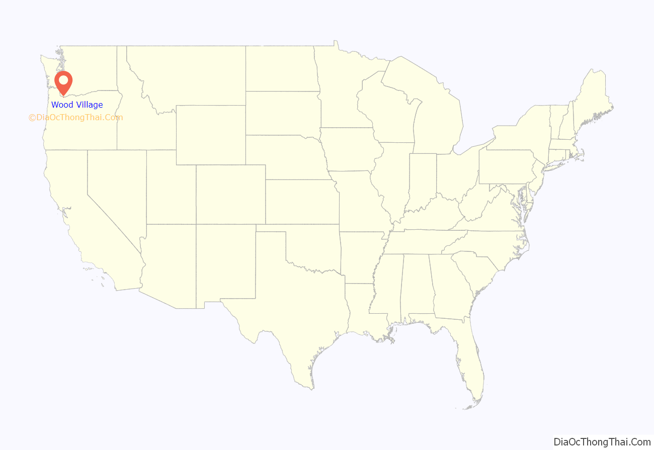
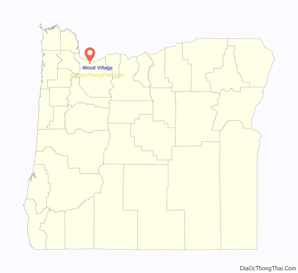
Wood Village location map. Where is Wood Village city?
History
Wood Village was built as a company town for the Reynolds Aluminum plant in Troutdale; the plant closed in 2000. The city was also formerly home to a 90,000-square-foot (8,400 m) Merix Corporation plant. It was incorporated by a vote of 156–35, with narrow approval from Fairview voters, on June 18, 1949.
Proposals to consolidate Wood Village with neighboring Fairview and Troutdale were seriously considered in the late 1960s and early 1980s.
The community’s new city hall opened in September 2021.
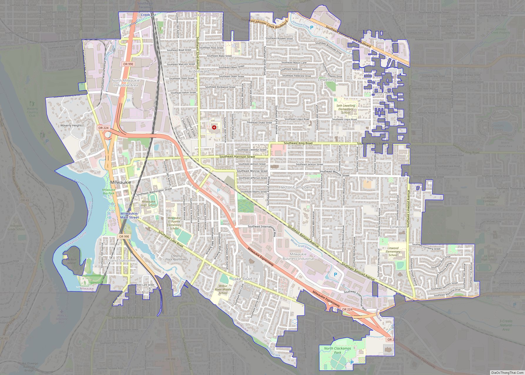
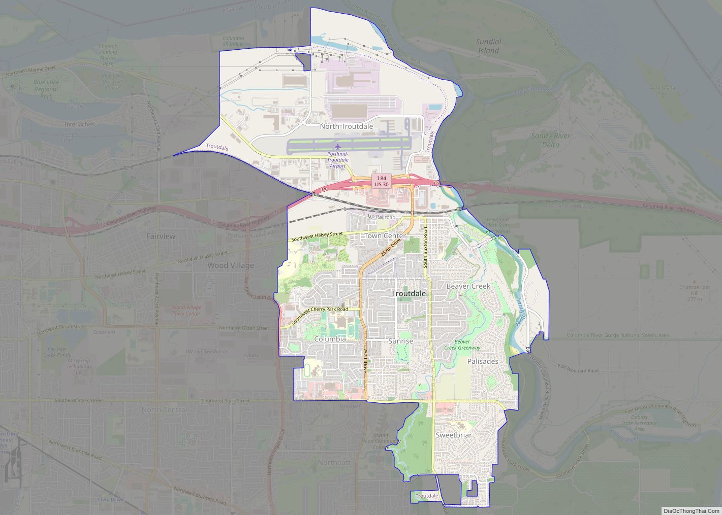
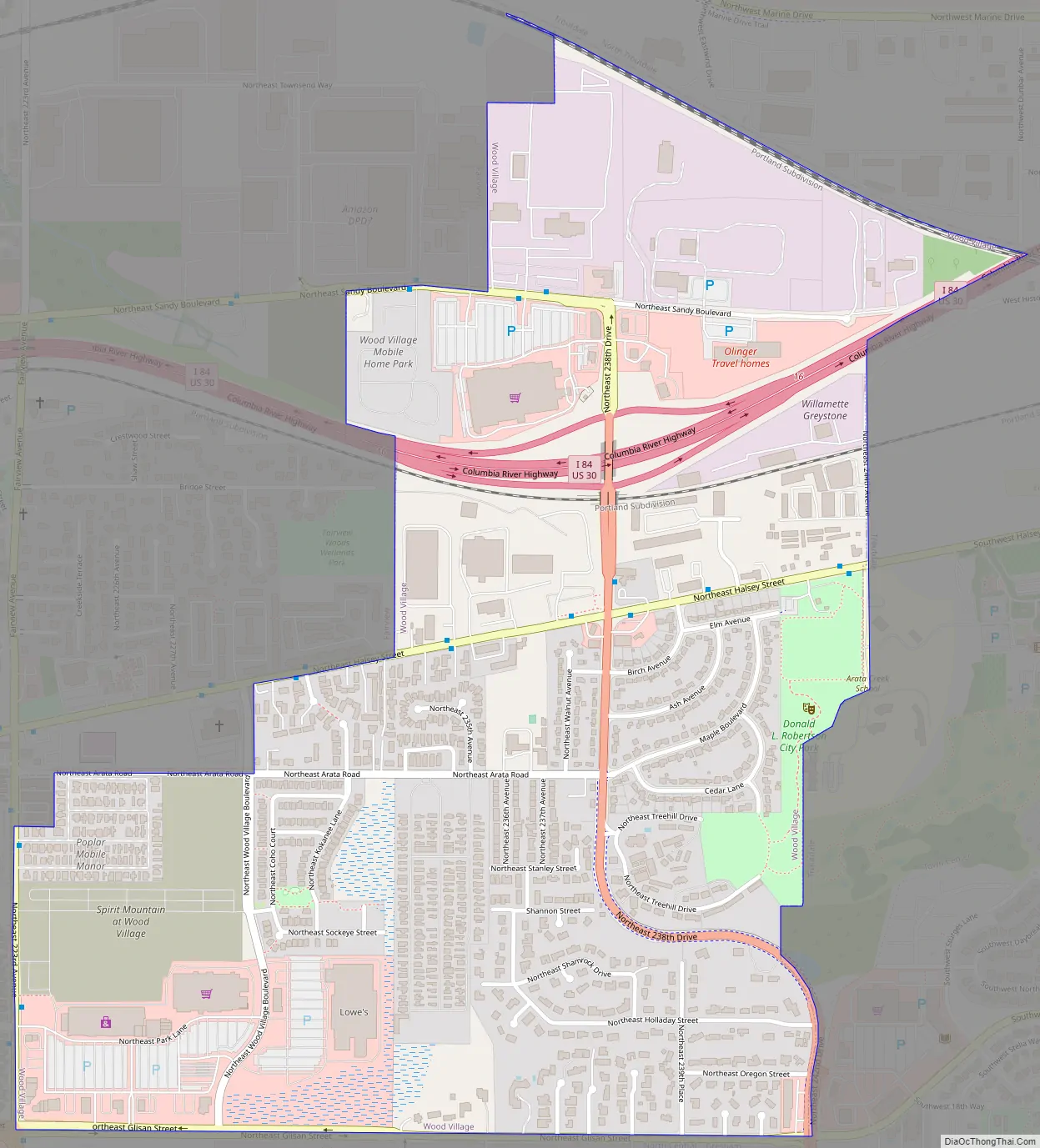
Wood Village Road Map
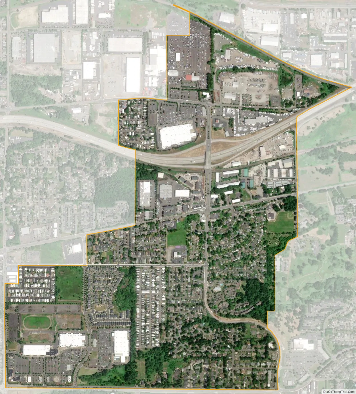
Wood Village city Satellite Map
Geography
According to the United States Census Bureau, the city has a total area of 0.94 square miles (2.43 km), all of it land. Among the city’s parks is Donald L. Robertson Park.
See also
Map of Oregon State and its subdivision: Map of other states:- Alabama
- Alaska
- Arizona
- Arkansas
- California
- Colorado
- Connecticut
- Delaware
- District of Columbia
- Florida
- Georgia
- Hawaii
- Idaho
- Illinois
- Indiana
- Iowa
- Kansas
- Kentucky
- Louisiana
- Maine
- Maryland
- Massachusetts
- Michigan
- Minnesota
- Mississippi
- Missouri
- Montana
- Nebraska
- Nevada
- New Hampshire
- New Jersey
- New Mexico
- New York
- North Carolina
- North Dakota
- Ohio
- Oklahoma
- Oregon
- Pennsylvania
- Rhode Island
- South Carolina
- South Dakota
- Tennessee
- Texas
- Utah
- Vermont
- Virginia
- Washington
- West Virginia
- Wisconsin
- Wyoming