Atlantic Beach is a town in Horry County, South Carolina, United States, part of the Grand Strand tourist region. The population was 334 at the 2010 census. Most of the land around the town is annexed into the city of North Myrtle Beach.
| Name: | Atlantic Beach town |
|---|---|
| LSAD Code: | 43 |
| LSAD Description: | town (suffix) |
| State: | South Carolina |
| County: | Horry County |
| Elevation: | 30 ft (9 m) |
| Total Area: | 0.16 sq mi (0.42 km²) |
| Land Area: | 0.16 sq mi (0.42 km²) |
| Water Area: | 0.00 sq mi (0.00 km²) |
| Total Population: | 195 |
| Population Density: | 1,203.70/sq mi (465.74/km²) |
| ZIP code: | 29582 |
| FIPS code: | 4503205 |
| GNISfeature ID: | 1231019 |
| Website: | www.townofatlanticbeachsc.com |
Online Interactive Map
Click on ![]() to view map in "full screen" mode.
to view map in "full screen" mode.
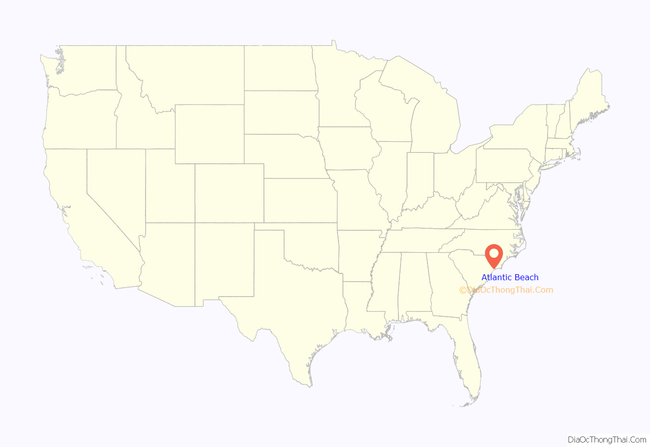
Atlantic Beach location map. Where is Atlantic Beach town?
History
Atlantic Beach is commonly nicknamed “The Black Pearl”; the rich culture of the town of Atlantic Beach was formed of mostly Gullah people, descendants of slaves who lived for 300 years on the Sea Islands from Wilmington, North Carolina to Jacksonville, Florida. In the early 1930s, defying Jim Crow laws in the segregated South, debunking black stereotypes, and broadening the enterprises of the Gullah people, black men and women opened hotels, restaurants, night clubs, and novelty shops in Atlantic Beach. Visitors would travel along Interstate 95, US 17 and SC 9, coming from nearby southern states, where racial segregation took its toll.
In October of 2022, a serving city councilman, James Dewitt II, and his wife were allegedly shot to death by a family member. The suspect, Matthew Dewitt, was taken into custody by the Richland County Sheriff’s Office.
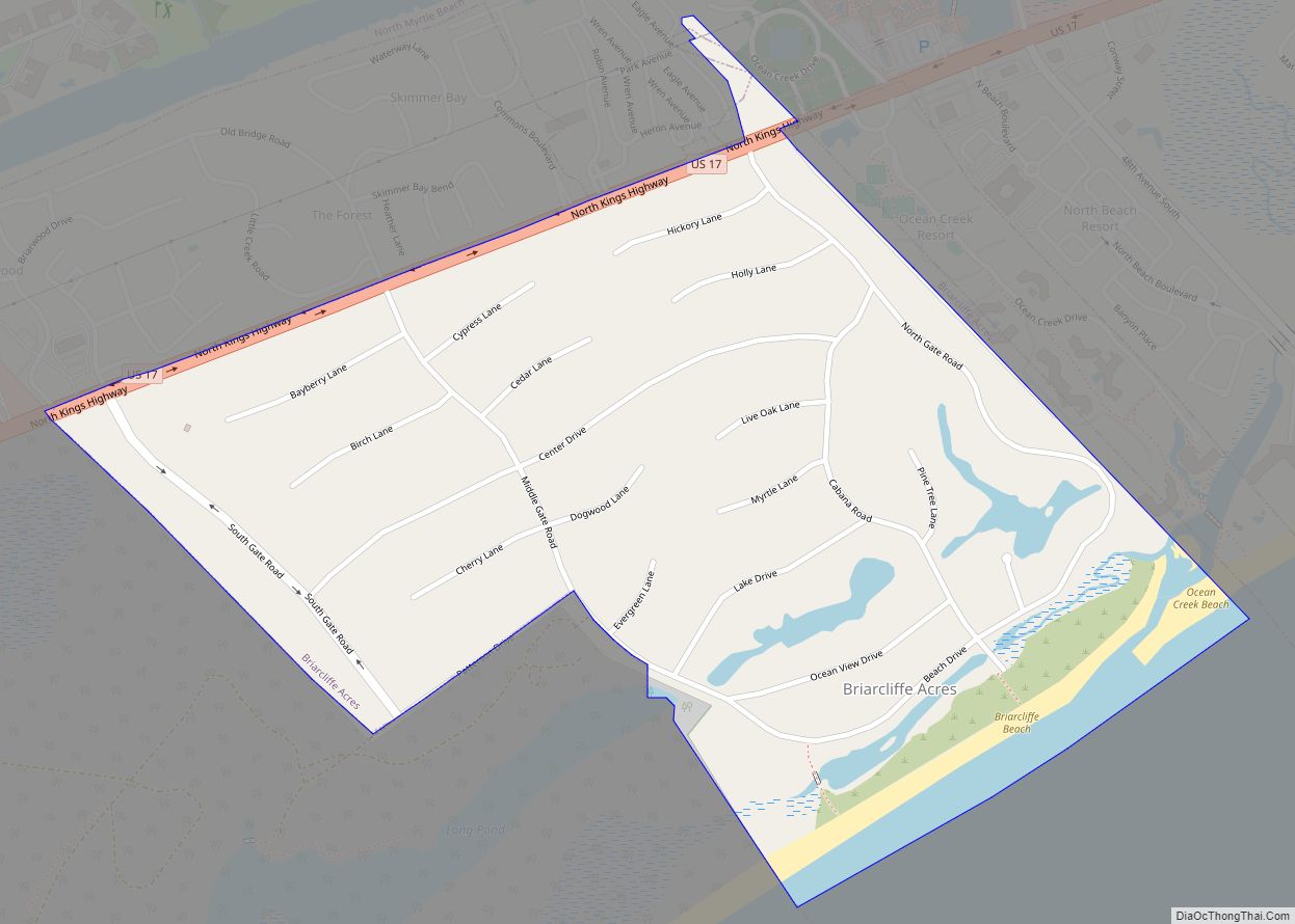
Atlantic Beach Road Map
Atlantic Beach city Satellite Map
Geography
Atlantic Beach is located at 33°48′10″N 78°43′01″W / 33.802838°N 78.717007°W / 33.802838; -78.717007. According to the United States Census Bureau, the town has a total area of 0.2 square miles (0.52 km), all land.
See also
Map of South Carolina State and its subdivision:- Abbeville
- Aiken
- Allendale
- Anderson
- Bamberg
- Barnwell
- Beaufort
- Berkeley
- Calhoun
- Charleston
- Cherokee
- Chester
- Chesterfield
- Clarendon
- Colleton
- Darlington
- Dillon
- Dorchester
- Edgefield
- Fairfield
- Florence
- Georgetown
- Greenville
- Greenwood
- Hampton
- Horry
- Jasper
- Kershaw
- Lancaster
- Laurens
- Lee
- Lexington
- Marion
- Marlboro
- McCormick
- Newberry
- Oconee
- Orangeburg
- Pickens
- Richland
- Saluda
- Spartanburg
- Sumter
- Union
- Williamsburg
- York
- Alabama
- Alaska
- Arizona
- Arkansas
- California
- Colorado
- Connecticut
- Delaware
- District of Columbia
- Florida
- Georgia
- Hawaii
- Idaho
- Illinois
- Indiana
- Iowa
- Kansas
- Kentucky
- Louisiana
- Maine
- Maryland
- Massachusetts
- Michigan
- Minnesota
- Mississippi
- Missouri
- Montana
- Nebraska
- Nevada
- New Hampshire
- New Jersey
- New Mexico
- New York
- North Carolina
- North Dakota
- Ohio
- Oklahoma
- Oregon
- Pennsylvania
- Rhode Island
- South Carolina
- South Dakota
- Tennessee
- Texas
- Utah
- Vermont
- Virginia
- Washington
- West Virginia
- Wisconsin
- Wyoming
