Bowman is a town in Orangeburg County, South Carolina, United States. The population was 968 at the 2010 census, a decline from 1,198 in 2000.
| Name: | Bowman town |
|---|---|
| LSAD Code: | 43 |
| LSAD Description: | town (suffix) |
| State: | South Carolina |
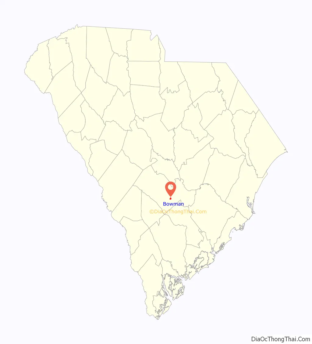
| County: | Orangeburg County |
| Elevation: | 144 ft (44 m) |
| Total Area: | 1.18 sq mi (3.05 km²) |
| Land Area: | 1.18 sq mi (3.05 km²) |
| Water Area: | 0.00 sq mi (0.00 km²) |
| Total Population: | 788 |
| Population Density: | 669.50/sq mi (258.54/km²) |
| ZIP code: | 29018 |
| Area code: | 803, 839 |
| FIPS code: | 4507840 |
| GNISfeature ID: | 1246954 |
| Website: | townofbowman.sc.gov |
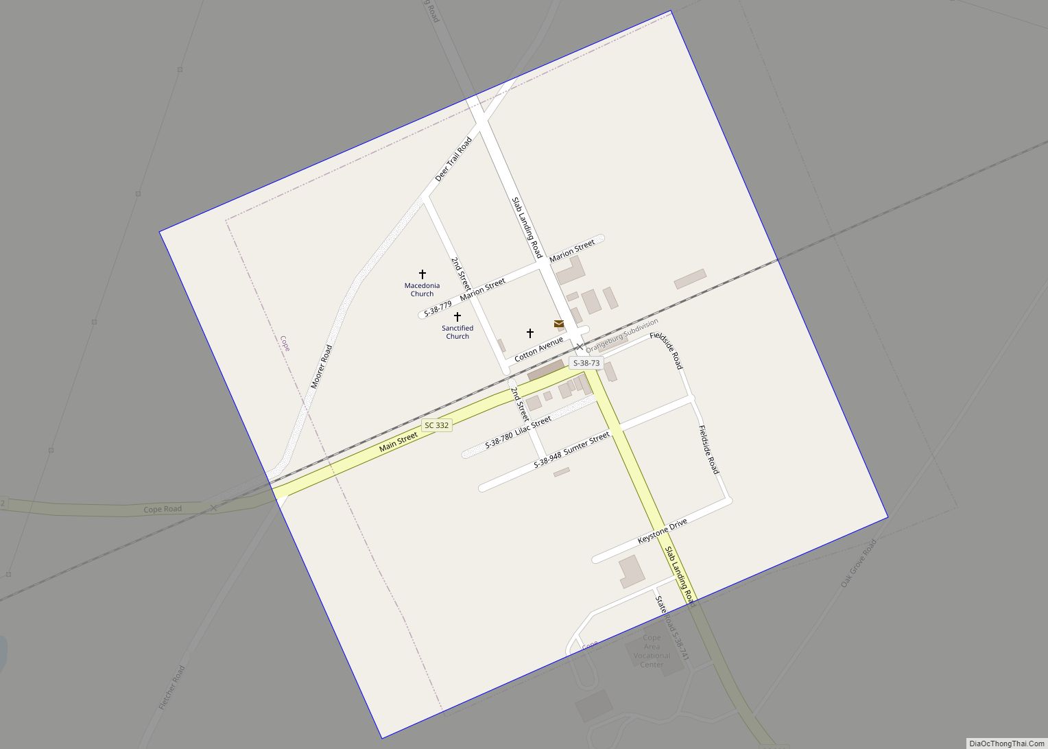
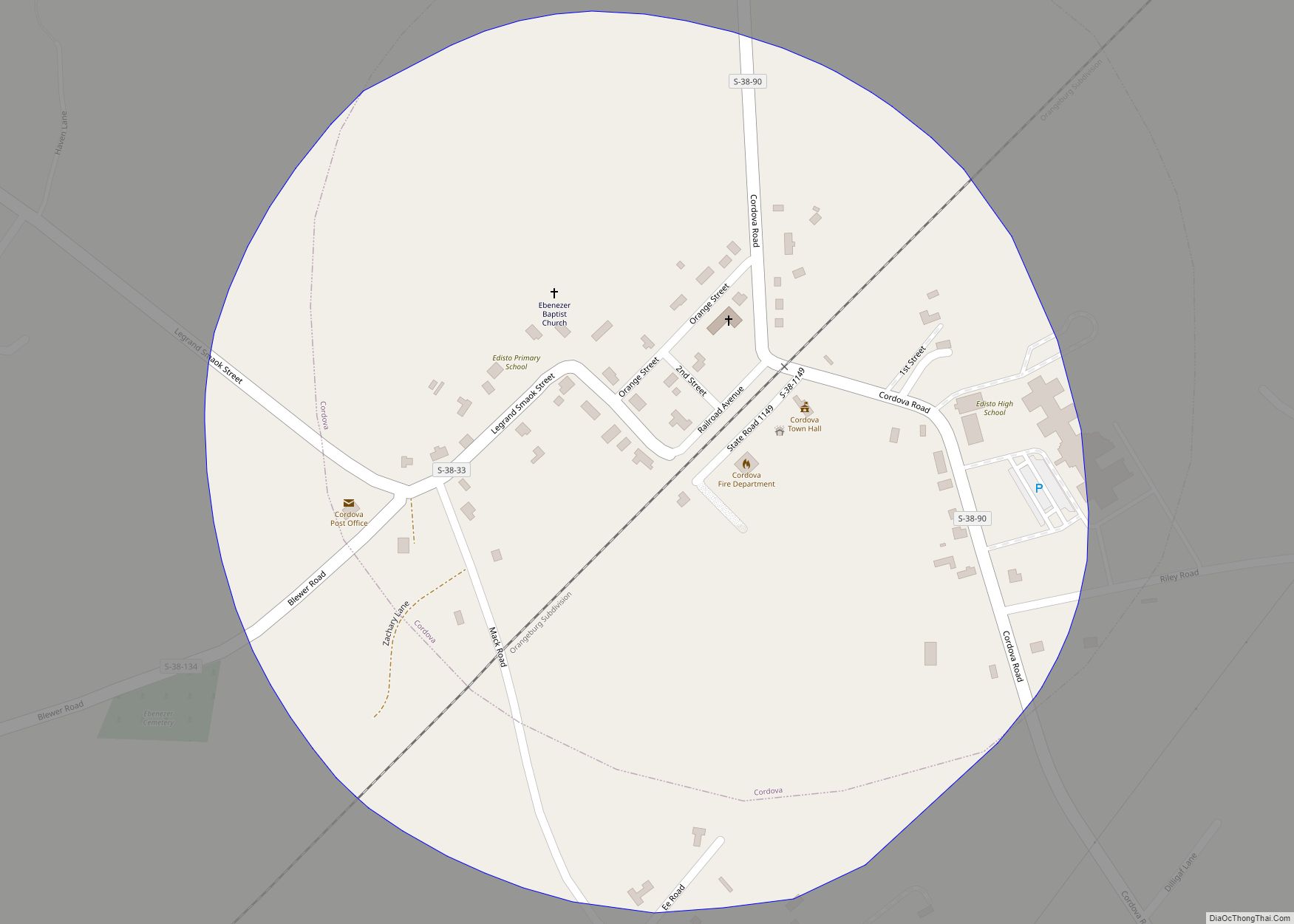
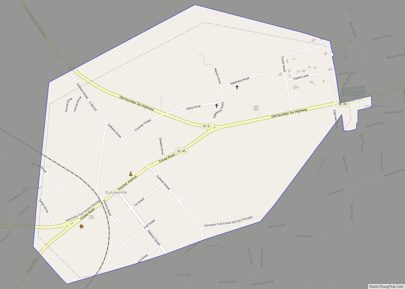
Online Interactive Map
Click on ![]() to view map in "full screen" mode.
to view map in "full screen" mode.
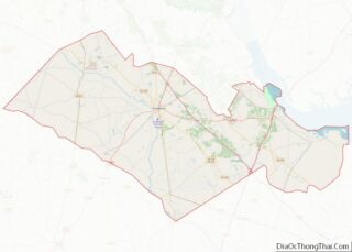
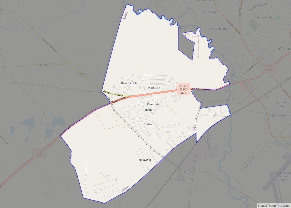
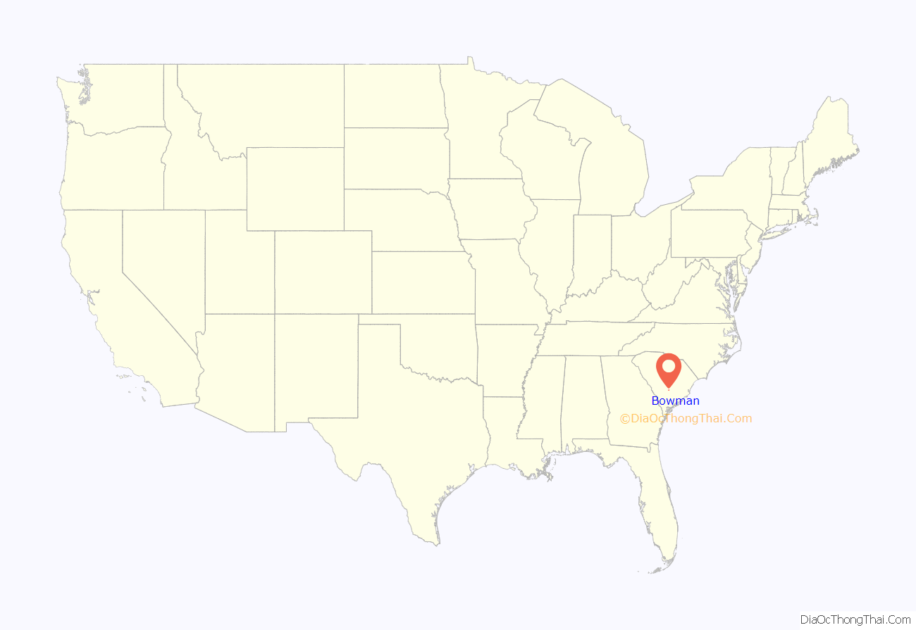
Bowman location map. Where is Bowman town?
History
Interest in building a town at the intersection of present-day US 178 (Charleston Highway) and S.C. 210 (Branchville-Providence Roads) was evidenced in the acquisition of substantial properties of the Reddick A. Bowman estate by one Samuel W. Dibble, Sr. of Orangeburg, SC in 1887. The Smoak Tramway, a six-mile logging railroad extending from Branchville toward north Four Holes Swamp which was chartered in 1884, was also targeted for acquisition by Dibble’s associate, Thomas M. Raysor, who operated the Raysor Mill near Stokes. These actions, aimed at developing and exploiting the agricultural and lumbering potential of an area that had remained rather dormant since the American Civil War, were taking place in the late 1880s. These represented the prelude to the chartering of the future Town of Bowman and the transportation and land development organizations and operations which preceded its chartering.
The site chosen for Bowman was actually situated in the center of a rice farming country, later transformed into a major cotton-producing area where the land has a clay sub-soil, ideal for this and other crops. it was located on an old road that was traveled in colonial days by people going from Charleston to Orangeburg, and which was once alleged to have been known as Oak Ridge, a plateau about ten miles long and five miles wide.
One of the oldest remaining operating companies located in Bowman, South Carolina, is V.P. Kiser Lumber Company, which now produces pine shingles. Some wood from Kiser Lumber Company was used to build Bowman’s UFO Welcome Center.
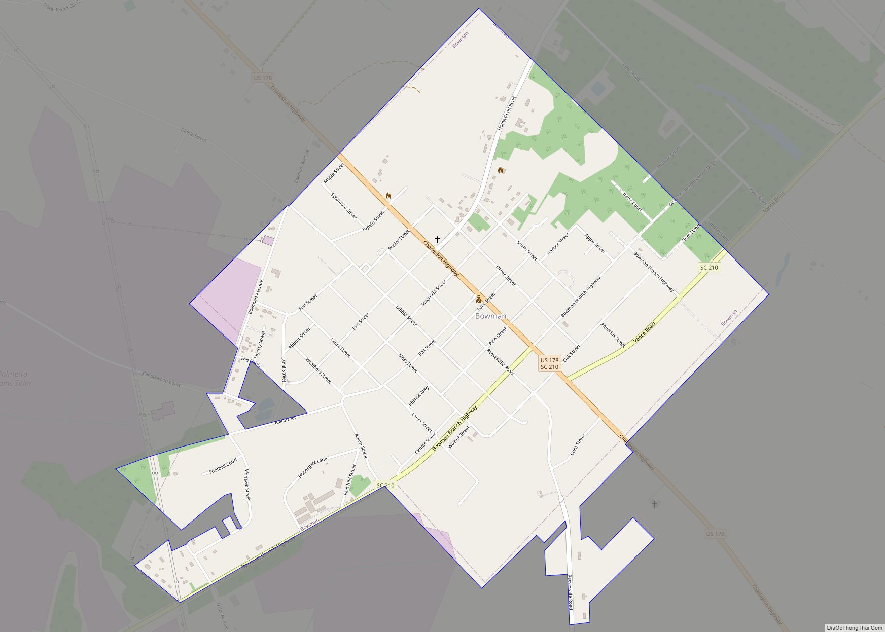
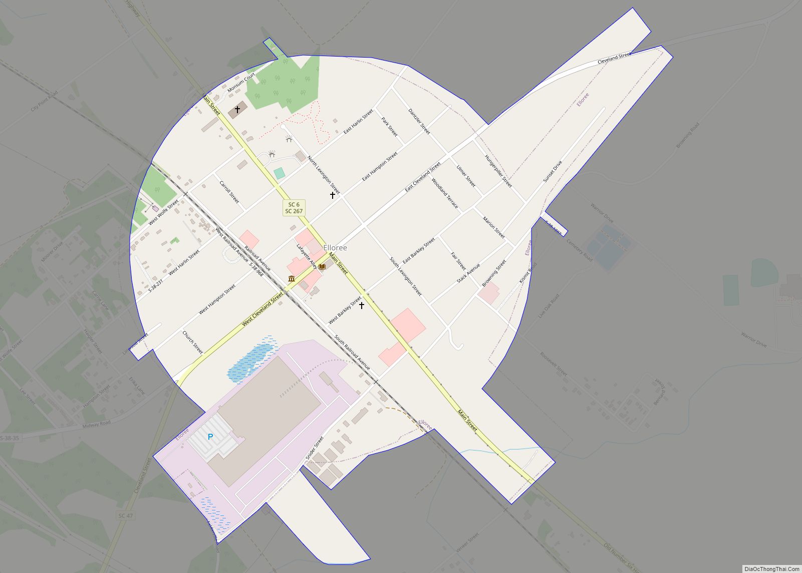
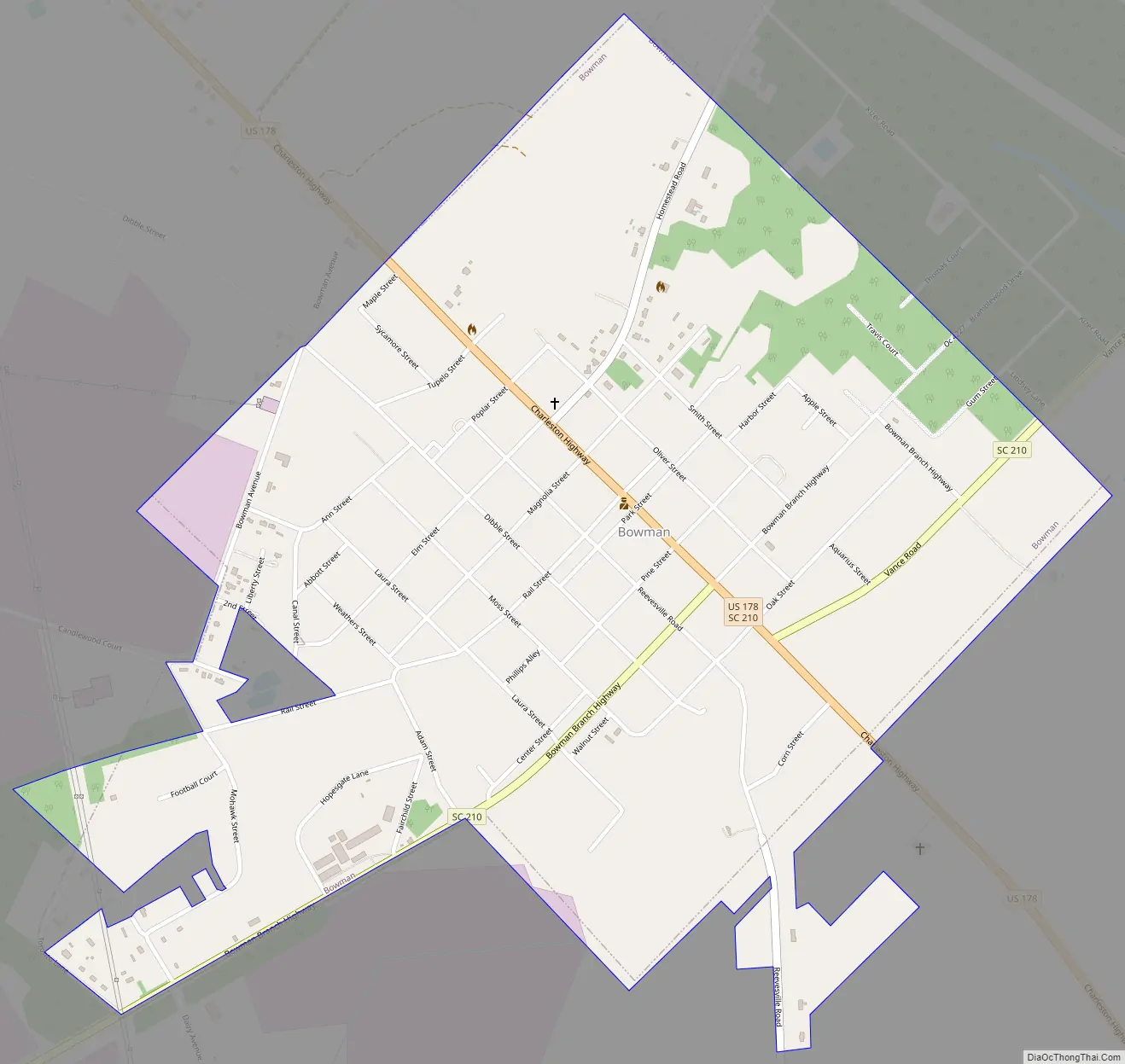
Bowman Road Map
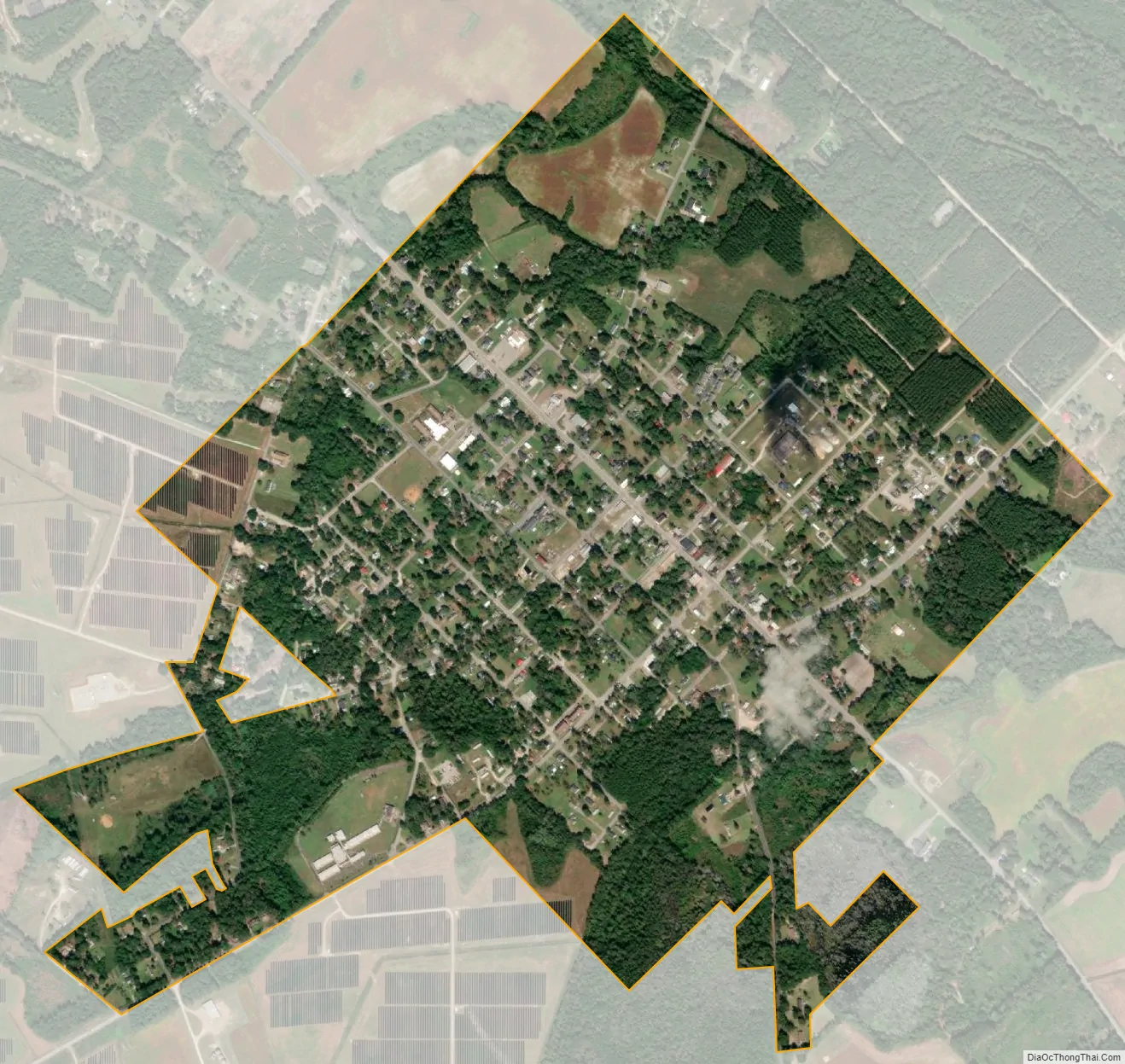
Bowman city Satellite Map
Geography
Bowman is located at 33°20′52″N 80°41′02″W / 33.347658°N 80.683915°W / 33.347658; -80.683915.
According to the United States Census Bureau, the town has a total area of 1.2 square miles (3.1 km), all land.
See also
Map of South Carolina State and its subdivision:- Abbeville
- Aiken
- Allendale
- Anderson
- Bamberg
- Barnwell
- Beaufort
- Berkeley
- Calhoun
- Charleston
- Cherokee
- Chester
- Chesterfield
- Clarendon
- Colleton
- Darlington
- Dillon
- Dorchester
- Edgefield
- Fairfield
- Florence
- Georgetown
- Greenville
- Greenwood
- Hampton
- Horry
- Jasper
- Kershaw
- Lancaster
- Laurens
- Lee
- Lexington
- Marion
- Marlboro
- McCormick
- Newberry
- Oconee
- Orangeburg
- Pickens
- Richland
- Saluda
- Spartanburg
- Sumter
- Union
- Williamsburg
- York
- Alabama
- Alaska
- Arizona
- Arkansas
- California
- Colorado
- Connecticut
- Delaware
- District of Columbia
- Florida
- Georgia
- Hawaii
- Idaho
- Illinois
- Indiana
- Iowa
- Kansas
- Kentucky
- Louisiana
- Maine
- Maryland
- Massachusetts
- Michigan
- Minnesota
- Mississippi
- Missouri
- Montana
- Nebraska
- Nevada
- New Hampshire
- New Jersey
- New Mexico
- New York
- North Carolina
- North Dakota
- Ohio
- Oklahoma
- Oregon
- Pennsylvania
- Rhode Island
- South Carolina
- South Dakota
- Tennessee
- Texas
- Utah
- Vermont
- Virginia
- Washington
- West Virginia
- Wisconsin
- Wyoming