Carlisle is a town in Union County, South Carolina, United States. The population was 436 according to the 2010 United States Census.
| Name: | Carlisle town |
|---|---|
| LSAD Code: | 43 |
| LSAD Description: | town (suffix) |
| State: | South Carolina |
| County: | Union County |
| Elevation: | 456 ft (139 m) |
| Total Area: | 1.42 sq mi (3.67 km²) |
| Land Area: | 1.42 sq mi (3.67 km²) |
| Water Area: | 0.00 sq mi (0.00 km²) |
| Total Population: | 321 |
| Population Density: | 226.69/sq mi (87.53/km²) |
| ZIP code: | 29031 |
| Area code: | 864 |
| FIPS code: | 4511755 |
| GNISfeature ID: | 1247163 |
| Website: | www.townofcarlisle.com |
Online Interactive Map
Click on ![]() to view map in "full screen" mode.
to view map in "full screen" mode.
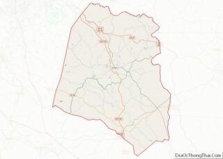
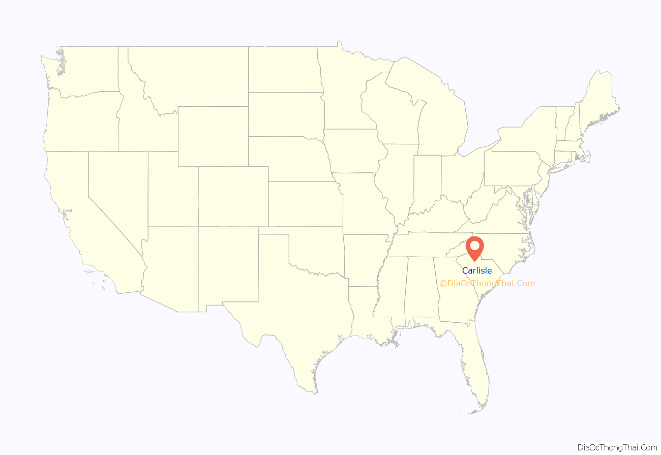
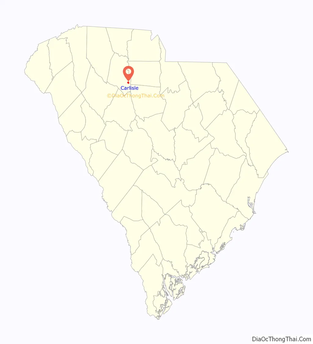
Carlisle location map. Where is Carlisle town?
History
The community was named after Coleman Carlisle, a Methodist minister.
Hillside and Woodland Plantation are listed on the National Register of Historic Places.
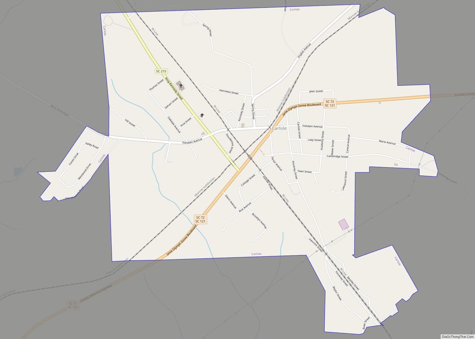
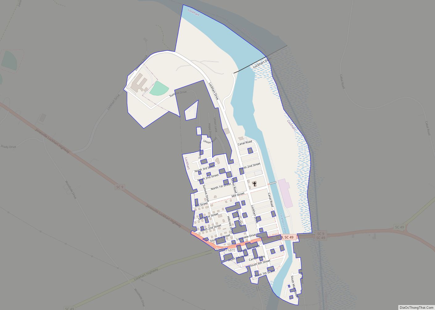
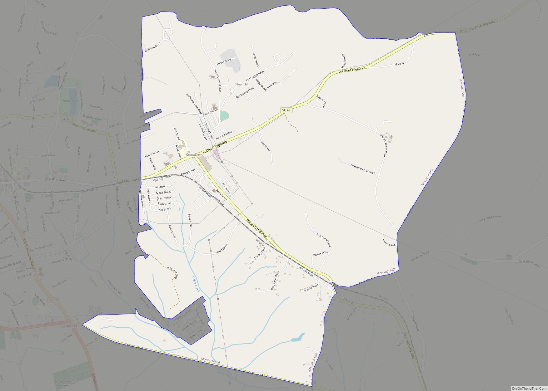
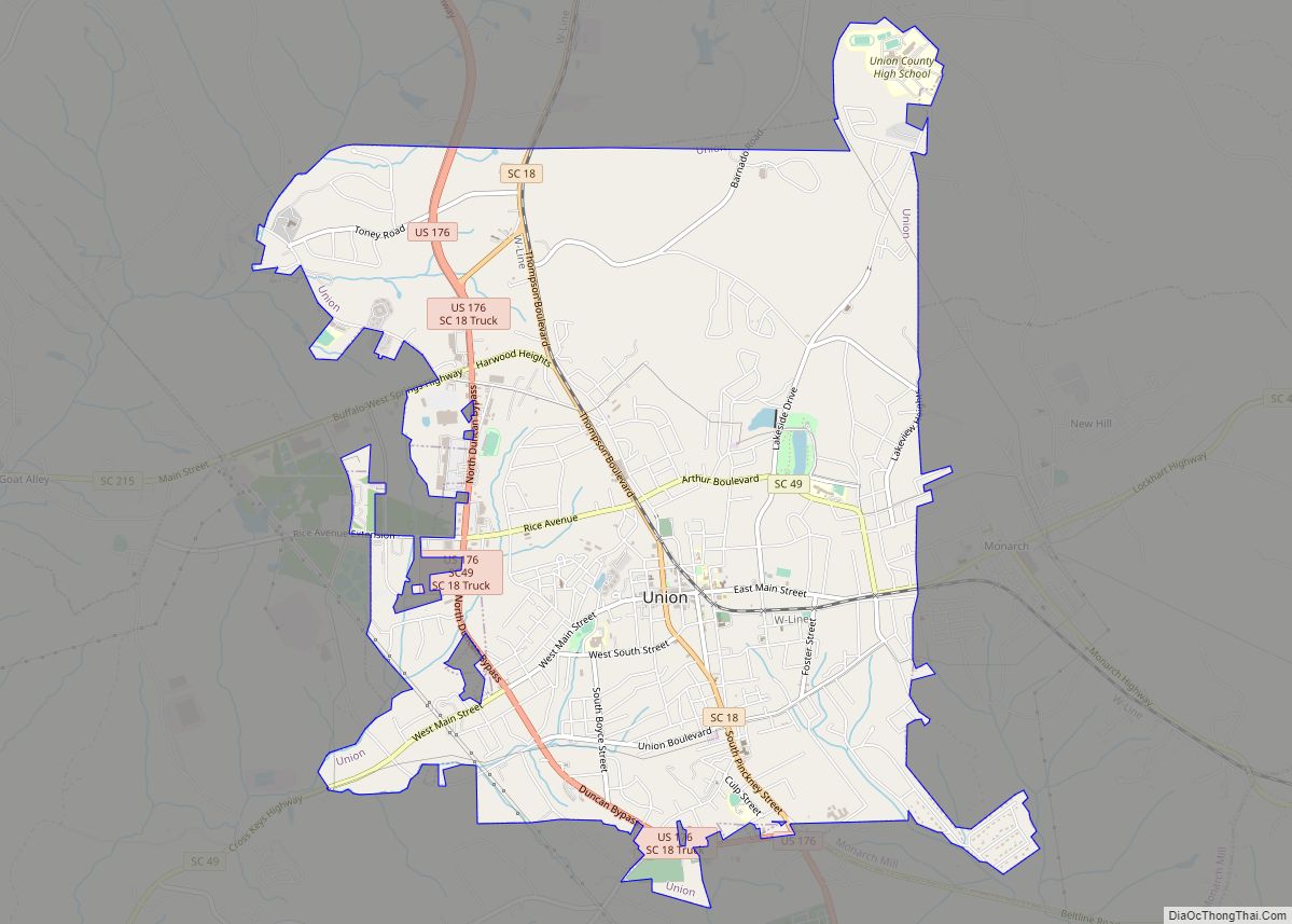
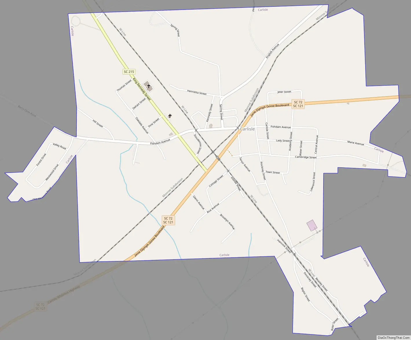
Carlisle Road Map
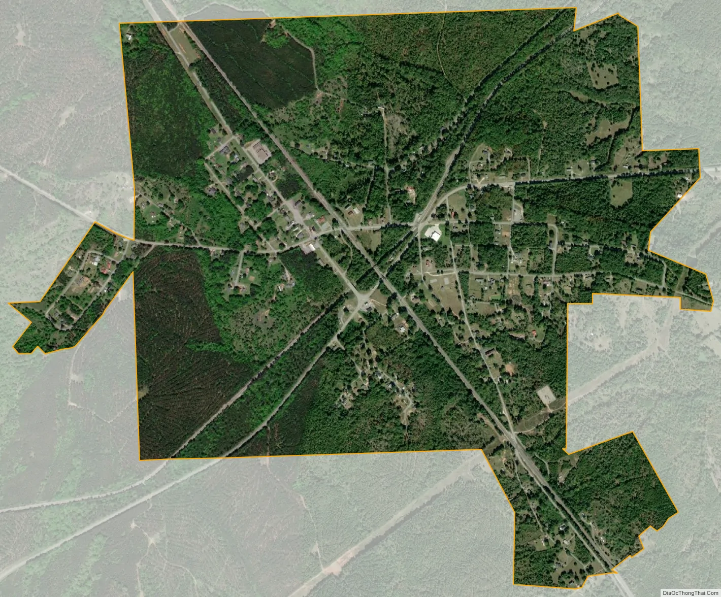
Carlisle city Satellite Map
Geography
Carlisle is located at 34°35′30″N 81°27′52″W / 34.59167°N 81.46444°W / 34.59167; -81.46444 (34.591674, -81.464518).
According to the United States Census Bureau, the town has a total area of 1.4 square miles (3.6 km), all of it land.
See also
Map of South Carolina State and its subdivision:- Abbeville
- Aiken
- Allendale
- Anderson
- Bamberg
- Barnwell
- Beaufort
- Berkeley
- Calhoun
- Charleston
- Cherokee
- Chester
- Chesterfield
- Clarendon
- Colleton
- Darlington
- Dillon
- Dorchester
- Edgefield
- Fairfield
- Florence
- Georgetown
- Greenville
- Greenwood
- Hampton
- Horry
- Jasper
- Kershaw
- Lancaster
- Laurens
- Lee
- Lexington
- Marion
- Marlboro
- McCormick
- Newberry
- Oconee
- Orangeburg
- Pickens
- Richland
- Saluda
- Spartanburg
- Sumter
- Union
- Williamsburg
- York
- Alabama
- Alaska
- Arizona
- Arkansas
- California
- Colorado
- Connecticut
- Delaware
- District of Columbia
- Florida
- Georgia
- Hawaii
- Idaho
- Illinois
- Indiana
- Iowa
- Kansas
- Kentucky
- Louisiana
- Maine
- Maryland
- Massachusetts
- Michigan
- Minnesota
- Mississippi
- Missouri
- Montana
- Nebraska
- Nevada
- New Hampshire
- New Jersey
- New Mexico
- New York
- North Carolina
- North Dakota
- Ohio
- Oklahoma
- Oregon
- Pennsylvania
- Rhode Island
- South Carolina
- South Dakota
- Tennessee
- Texas
- Utah
- Vermont
- Virginia
- Washington
- West Virginia
- Wisconsin
- Wyoming