Florence /ˈflɒrəns/ is a city in and the county seat of Florence County, South Carolina, United States. It lies at the intersection of Interstates 20 and 95 and is the eastern terminus of the former. It is the primary city within the Florence metropolitan area. The area forms the core of the historical Pee Dee region of South Carolina, which includes the eight counties of northeastern South Carolina, along with sections of southeastern North Carolina. As of the 2020 census, the population of the city was 39,899.
Florence is one of the major cities in South Carolina. In 1965, Florence was named an All-American City, presented by the National Civic League. The city was founded as a railroad hub and became the junction of three major railroad systems, including the Wilmington and Manchester, the Northeastern, and the Cheraw and Darlington.
| Name: | Florence city |
|---|---|
| LSAD Code: | 25 |
| LSAD Description: | city (suffix) |
| State: | South Carolina |
| County: | Florence County |
| Incorporated: | December 24, 1890 |
| Elevation: | 138 ft (42 m) |
| Land Area: | 23.39 sq mi (60.59 km²) |
| Water Area: | 0.09 sq mi (0.24 km²) |
| Population Density: | 1,705.45/sq mi (658.47/km²) |
| Area code: | 843, 854 |
| FIPS code: | 4525810 |
| GNISfeature ID: | 1222461 |
| Website: | www.cityofflorence.com |
Online Interactive Map
Click on ![]() to view map in "full screen" mode.
to view map in "full screen" mode.
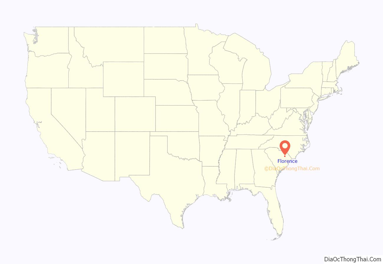
Florence location map. Where is Florence city?
History
The City of Florence was chartered in 1871 by the Reconstruction government and incorporated in 1890 following the 1888 creation of Florence County. Prior to its charter, the city was part of one of the original townships laid out by the Lords Proprietors in 1719. The area was gradually settled through the late 19th and early 20th century. Early settlers practiced subsistence farming and produced indigo, cotton, naval stores and timber, which were shipped down the Great Pee Dee River to the port at Georgetown and exported. In the mid-19th century two intersecting railroads were built, the Wilmington and Manchester, and the Northeastern. Gen. W. W. Harllee, the president of the W & M, built his home at the junction, and named the community “Florence”, after his daughter.
American Civil War
During the Civil War, the town was an important supply and railroad repair center for the Confederacy, and the site of the Florence Stockade, which held between 12,000 and 18,000 Union prisoners of war. Over 2,800 of the prisoners died of disease, and the burial ground adjacent to the prison became the Florence National Cemetery after the war and now has expanded.
Early 20th century
After the war, Florence grew and prospered, using the railroad to supply its cotton, timber, and by the turn of the century, tobacco. During the 20th century the economy of Florence came to rely heavily on the healthcare industry, driven by two major hospitals and a number of pharmaceutical plants. Industry grew, especially after World War II, when Florence became increasingly known for textiles, pharmaceuticals, paper, and manufacturing, in addition to agricultural products.
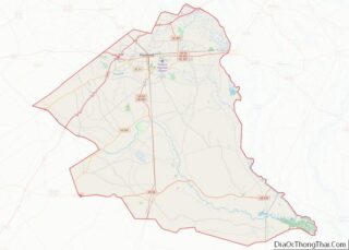
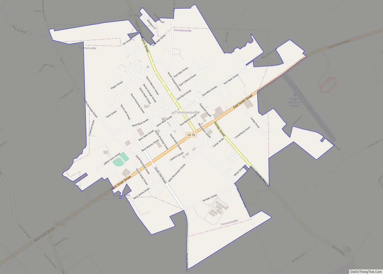
Florence Road Map
Florence city Satellite Map
Geography
Florence is located in the coastal plain of South Carolina. It is in the northeastern part of the state and the northern part of Florence County. The average elevation above sea level is around 140 ft (43 m). Jeffries Creek is a tributary of the Great Pee Dee River and is the main waterway that flows through the city, passing south of the city center. According to the United States Census Bureau, the city has a total area of 20.9 square miles (54.2 km), of which 20.9 square miles (54.1 km) are land and 0.04 square miles (0.1 km), or 0.22%, is water.
Climate
The climate experienced is humid subtropical (Köppen: Cfa) of the type found in the deep south, especially far from the coast. Autumn, winter and spring are mild, with occasional winter nights below freezing but rarely features extended cold and rigorous conditions. Florence’s summers can be very hot and humid. The city, like others in the Southeast, is prone to inversions, which trap ozone and other pollutants over the area.
See also
Map of South Carolina State and its subdivision:- Abbeville
- Aiken
- Allendale
- Anderson
- Bamberg
- Barnwell
- Beaufort
- Berkeley
- Calhoun
- Charleston
- Cherokee
- Chester
- Chesterfield
- Clarendon
- Colleton
- Darlington
- Dillon
- Dorchester
- Edgefield
- Fairfield
- Florence
- Georgetown
- Greenville
- Greenwood
- Hampton
- Horry
- Jasper
- Kershaw
- Lancaster
- Laurens
- Lee
- Lexington
- Marion
- Marlboro
- McCormick
- Newberry
- Oconee
- Orangeburg
- Pickens
- Richland
- Saluda
- Spartanburg
- Sumter
- Union
- Williamsburg
- York
- Alabama
- Alaska
- Arizona
- Arkansas
- California
- Colorado
- Connecticut
- Delaware
- District of Columbia
- Florida
- Georgia
- Hawaii
- Idaho
- Illinois
- Indiana
- Iowa
- Kansas
- Kentucky
- Louisiana
- Maine
- Maryland
- Massachusetts
- Michigan
- Minnesota
- Mississippi
- Missouri
- Montana
- Nebraska
- Nevada
- New Hampshire
- New Jersey
- New Mexico
- New York
- North Carolina
- North Dakota
- Ohio
- Oklahoma
- Oregon
- Pennsylvania
- Rhode Island
- South Carolina
- South Dakota
- Tennessee
- Texas
- Utah
- Vermont
- Virginia
- Washington
- West Virginia
- Wisconsin
- Wyoming
