Jackson is a town in Aiken County, South Carolina, United States. The population was 1,700 at the 2010 census. It is part of the Augusta, Georgia metropolitan area.
| Name: | Jackson town |
|---|---|
| LSAD Code: | 43 |
| LSAD Description: | town (suffix) |
| State: | South Carolina |
| County: | Aiken County |
| Elevation: | 203 ft (62 m) |
| Total Area: | 3.52 sq mi (9.12 km²) |
| Land Area: | 3.52 sq mi (9.12 km²) |
| Water Area: | 0.00 sq mi (0.00 km²) |
| Total Population: | 1,521 |
| Population Density: | 432.10/sq mi (166.84/km²) |
| ZIP code: | 29831 |
| Area code: | 803, 839 |
| FIPS code: | 4536205 |
| GNISfeature ID: | 1246137 |
| Website: | www.jackson-sc.gov |
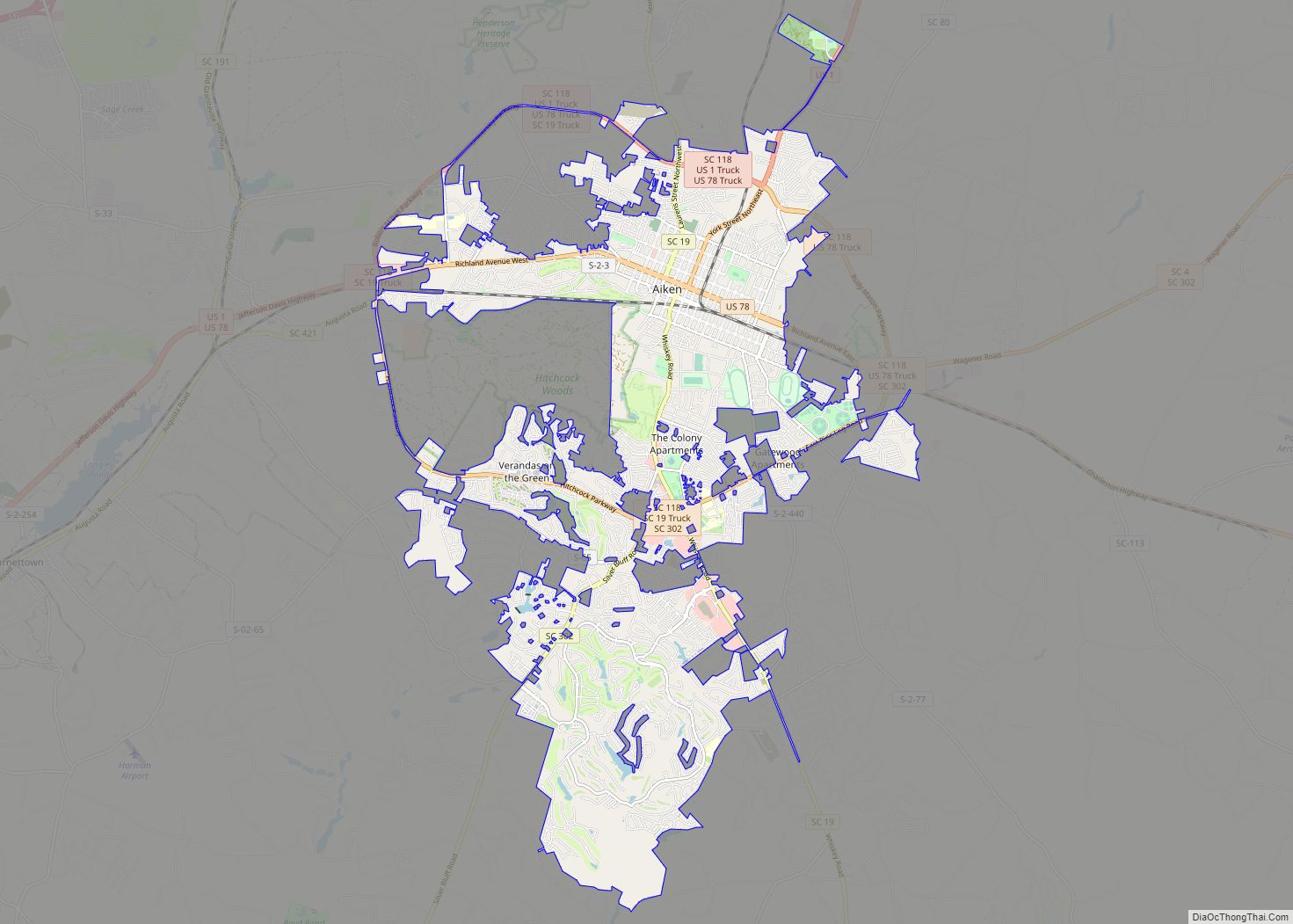
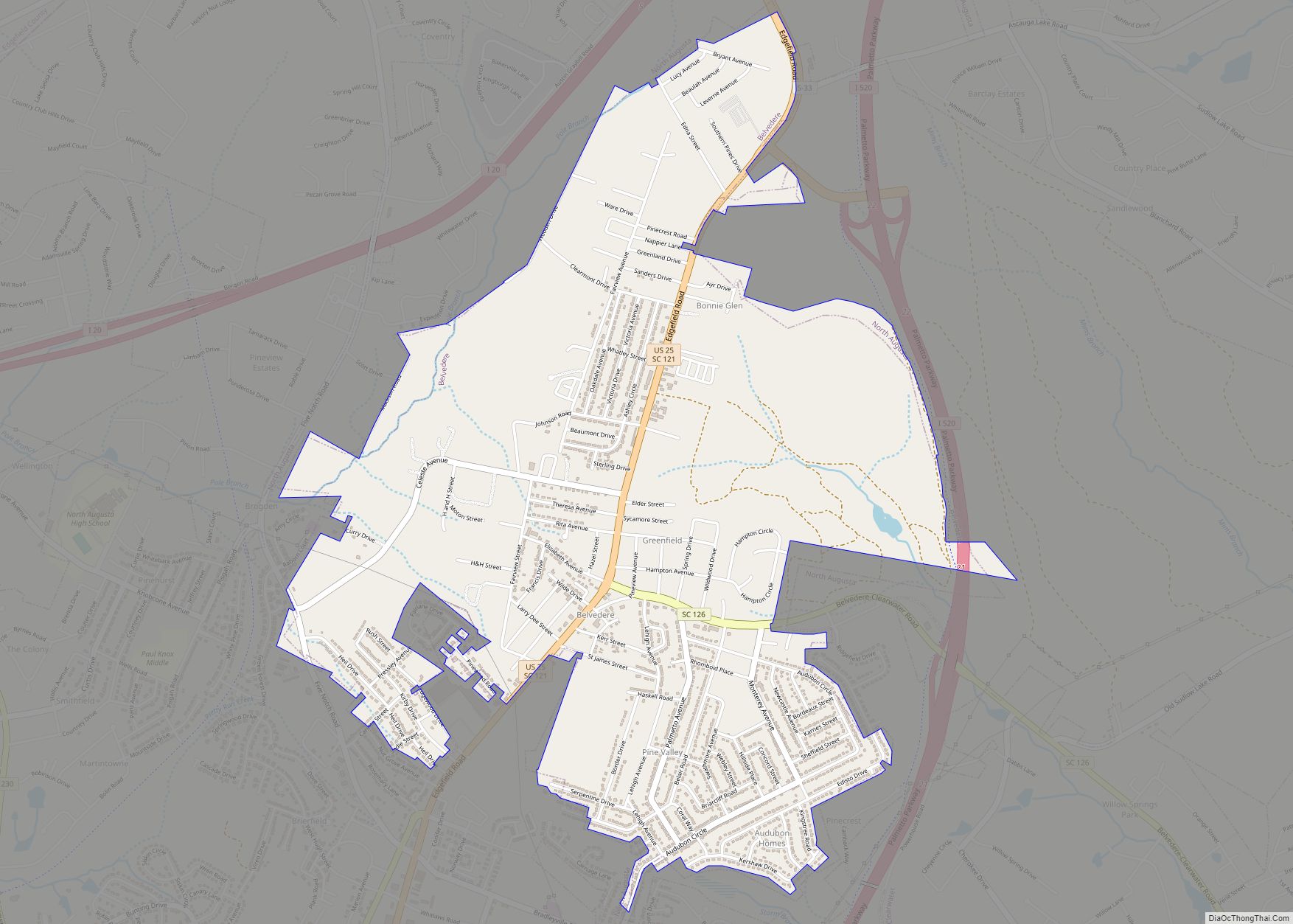
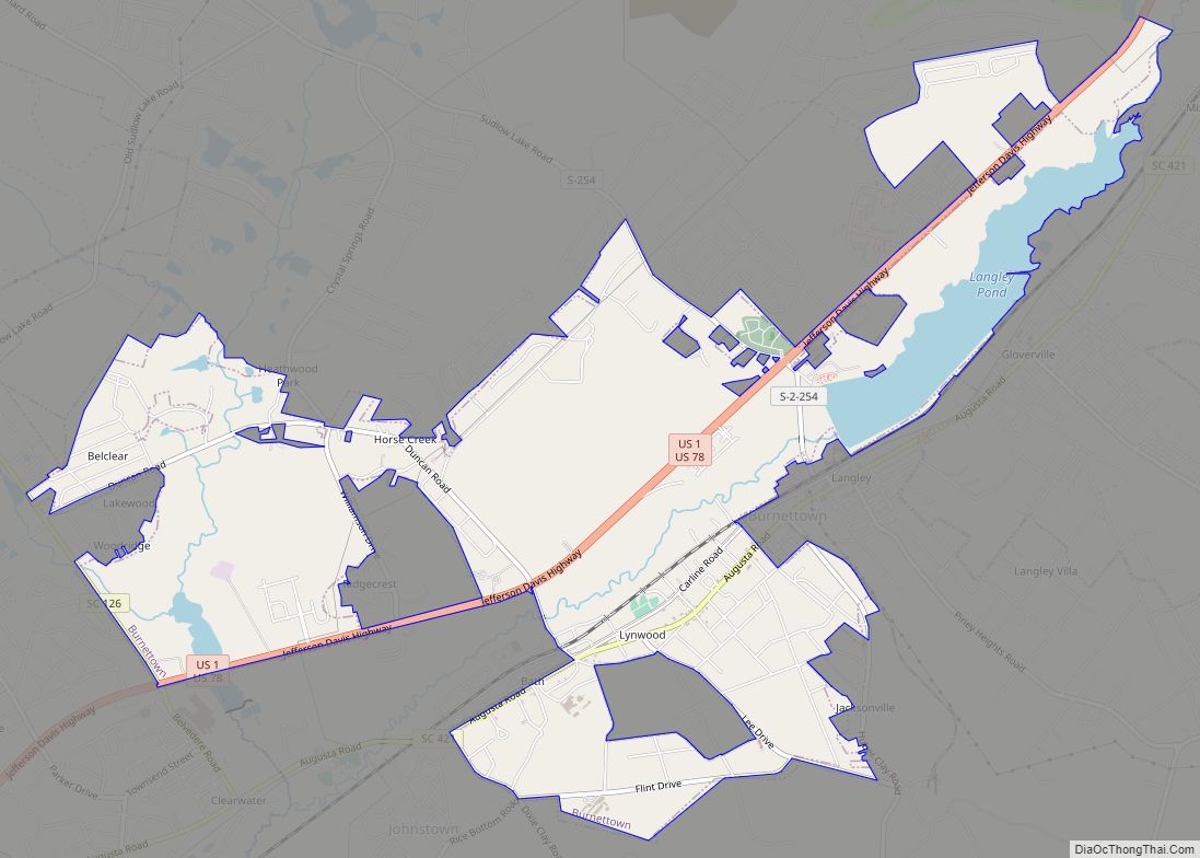
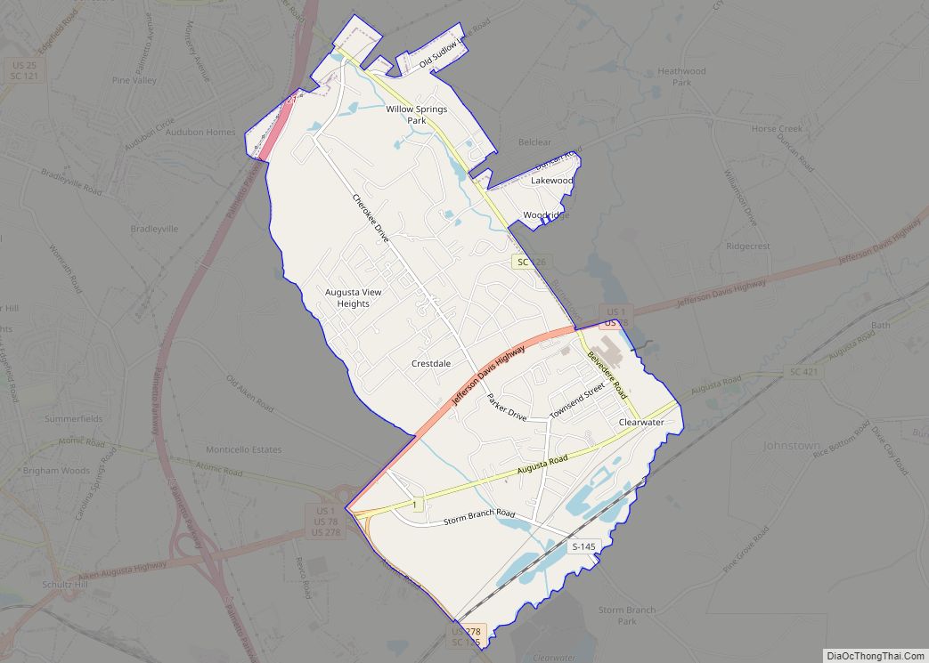
Online Interactive Map
Click on ![]() to view map in "full screen" mode.
to view map in "full screen" mode.
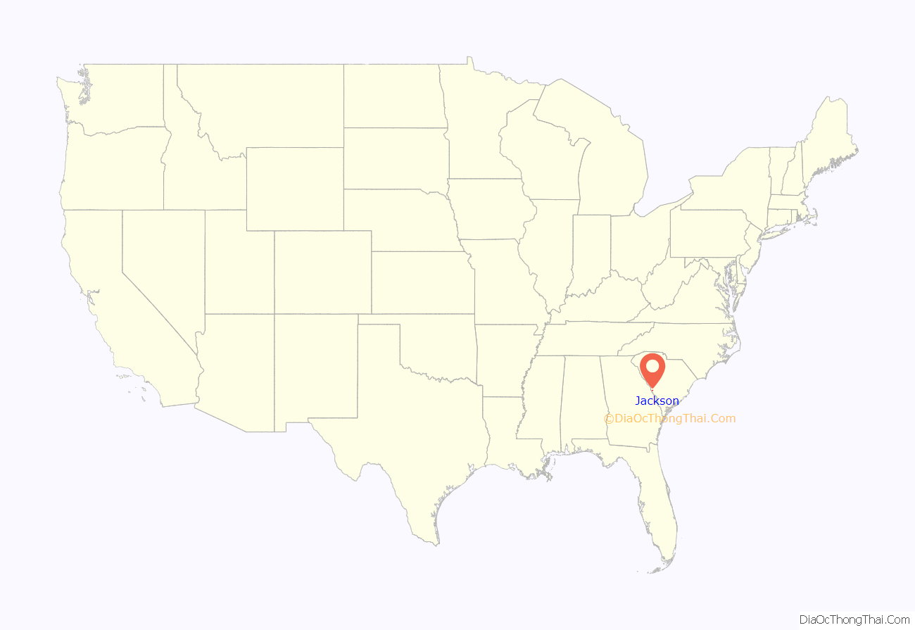
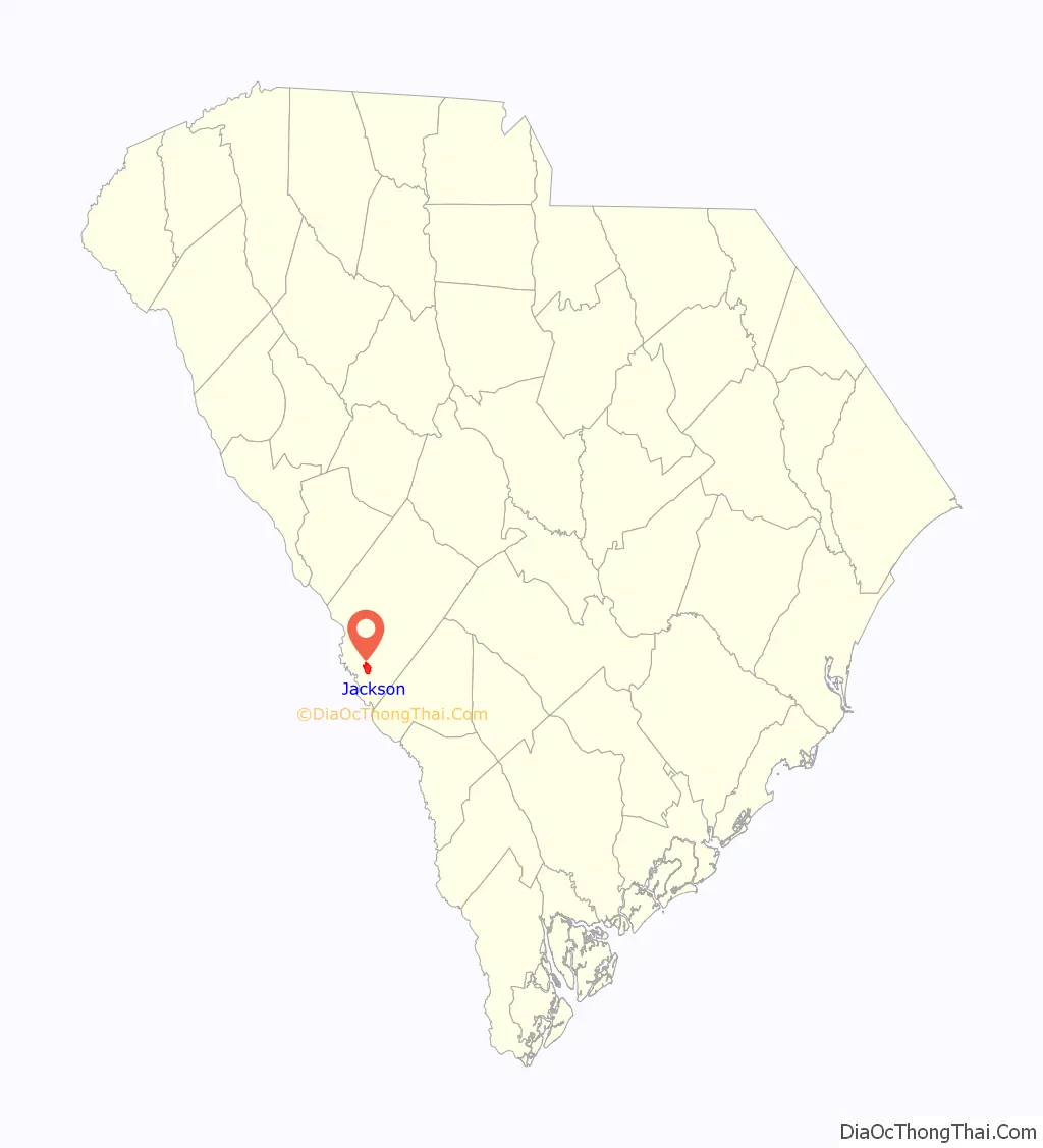
Jackson location map. Where is Jackson town?
History
Silver Bluff was listed on the National Register of Historic Places in 1977.
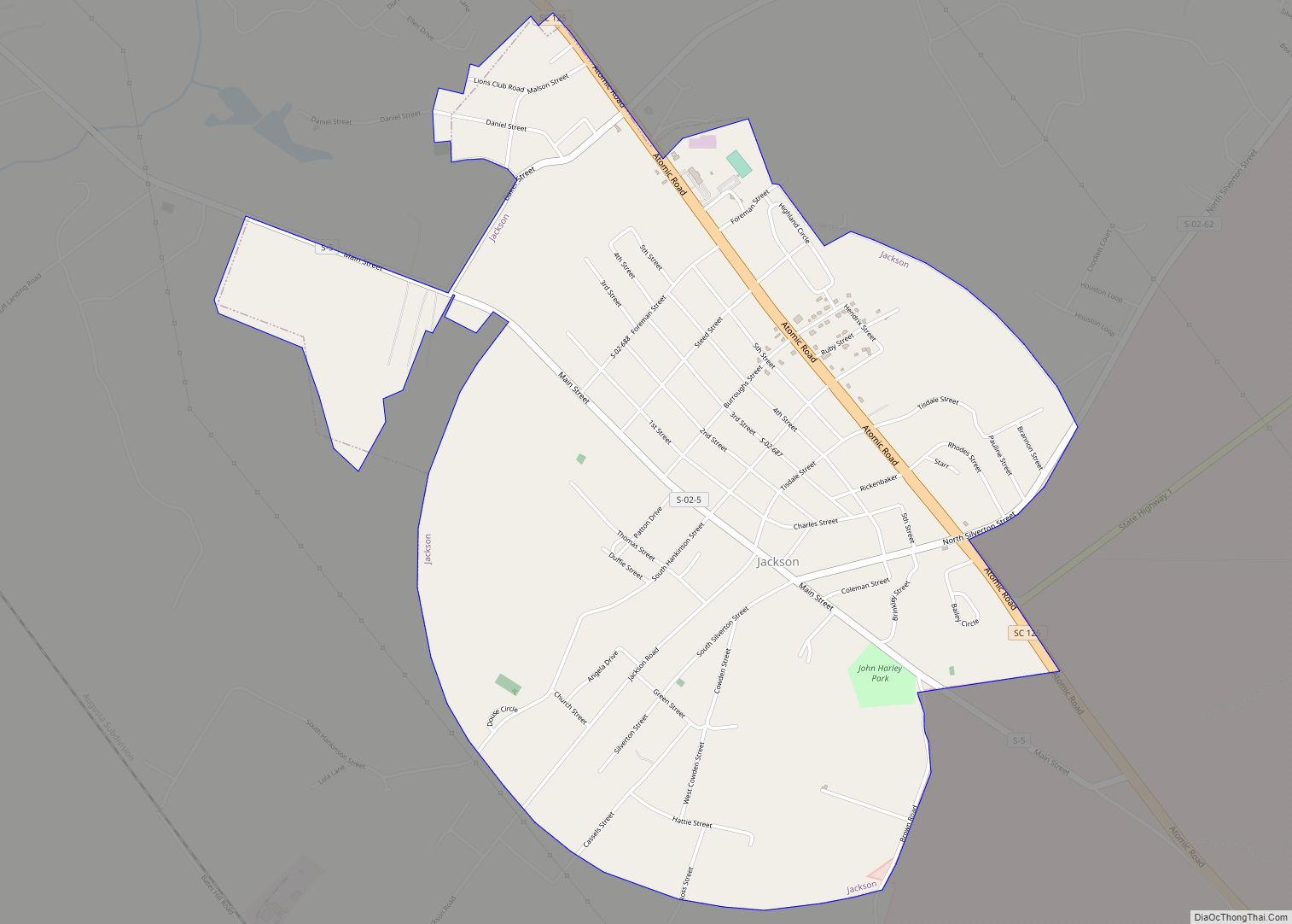
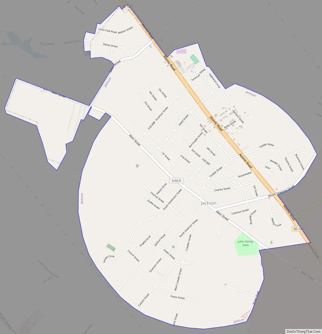
Jackson Road Map
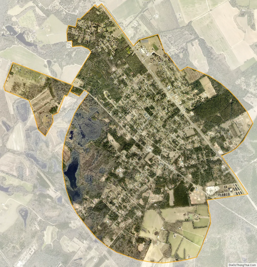
Jackson city Satellite Map
Geography
Jackson is located at 33°19′50″N 81°47′24″W / 33.33056°N 81.79000°W / 33.33056; -81.79000 (33.330538, -81.790043) in southern Aiken County, 2 miles (3 km) northeast of the Savannah River. It is the closest community northwest of the U.S. Department of Energy Savannah River Site.
According to the United States Census Bureau, the town has a total area of 3.6 square miles (9.2 km), all land.
See also
Map of South Carolina State and its subdivision:- Abbeville
- Aiken
- Allendale
- Anderson
- Bamberg
- Barnwell
- Beaufort
- Berkeley
- Calhoun
- Charleston
- Cherokee
- Chester
- Chesterfield
- Clarendon
- Colleton
- Darlington
- Dillon
- Dorchester
- Edgefield
- Fairfield
- Florence
- Georgetown
- Greenville
- Greenwood
- Hampton
- Horry
- Jasper
- Kershaw
- Lancaster
- Laurens
- Lee
- Lexington
- Marion
- Marlboro
- McCormick
- Newberry
- Oconee
- Orangeburg
- Pickens
- Richland
- Saluda
- Spartanburg
- Sumter
- Union
- Williamsburg
- York
- Alabama
- Alaska
- Arizona
- Arkansas
- California
- Colorado
- Connecticut
- Delaware
- District of Columbia
- Florida
- Georgia
- Hawaii
- Idaho
- Illinois
- Indiana
- Iowa
- Kansas
- Kentucky
- Louisiana
- Maine
- Maryland
- Massachusetts
- Michigan
- Minnesota
- Mississippi
- Missouri
- Montana
- Nebraska
- Nevada
- New Hampshire
- New Jersey
- New Mexico
- New York
- North Carolina
- North Dakota
- Ohio
- Oklahoma
- Oregon
- Pennsylvania
- Rhode Island
- South Carolina
- South Dakota
- Tennessee
- Texas
- Utah
- Vermont
- Virginia
- Washington
- West Virginia
- Wisconsin
- Wyoming