Johnsonville is a city in Florence County, South Carolina, United States. The population was 1,480 at the 2010 census. It is part of the Florence Metropolitan Statistical Area.
The city was founded in 1913 west of the spot of the former Witherspoon’s Ferry on the Pee Dee River, where General Francis Marion received his commission for the Revolutionary War.
| Name: | Johnsonville city |
|---|---|
| LSAD Code: | 25 |
| LSAD Description: | city (suffix) |
| State: | South Carolina |
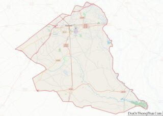
| County: | Florence County |
| Elevation: | 92 ft (28 m) |
| Total Area: | 2.14 sq mi (5.55 km²) |
| Land Area: | 2.11 sq mi (5.48 km²) |
| Water Area: | 0.03 sq mi (0.07 km²) |
| Total Population: | 1,378 |
| Population Density: | 651.84/sq mi (251.68/km²) |
| ZIP code: | 29555 |
| Area code: | 843, 854 |
| FIPS code: | 4537105 |
| GNISfeature ID: | 1223621 |
| Website: | www.cityofjohnsonville.com |
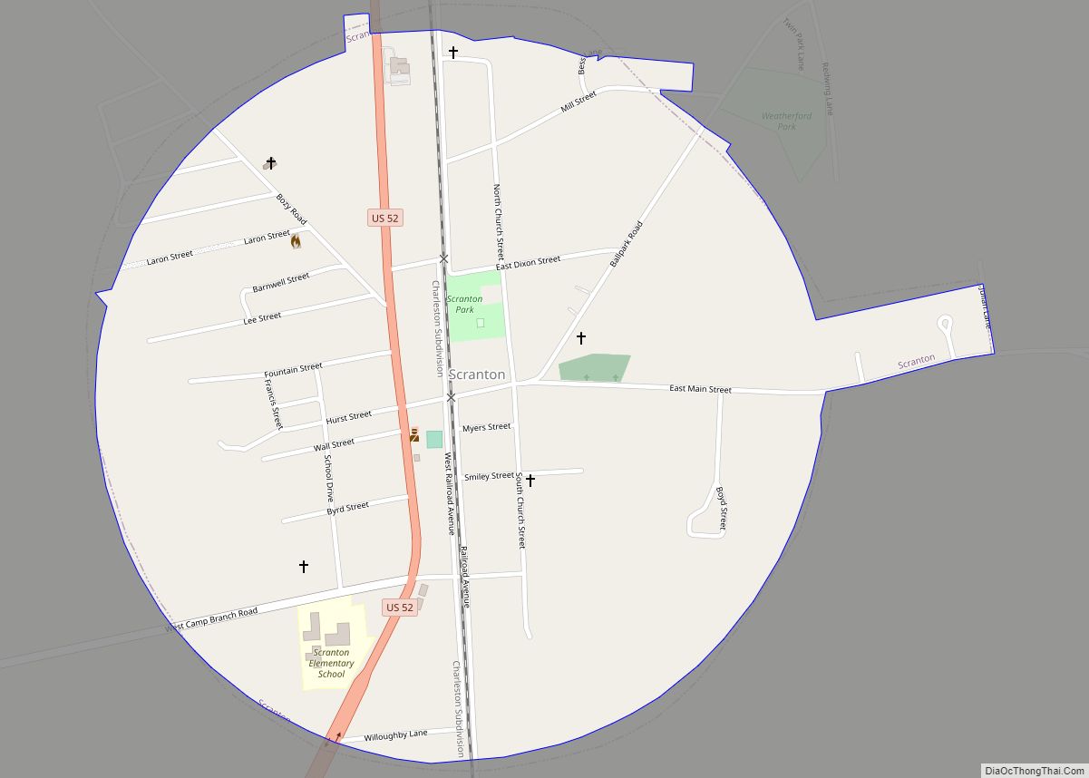
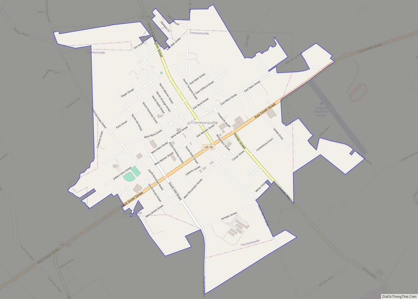
Online Interactive Map
Click on ![]() to view map in "full screen" mode.
to view map in "full screen" mode.
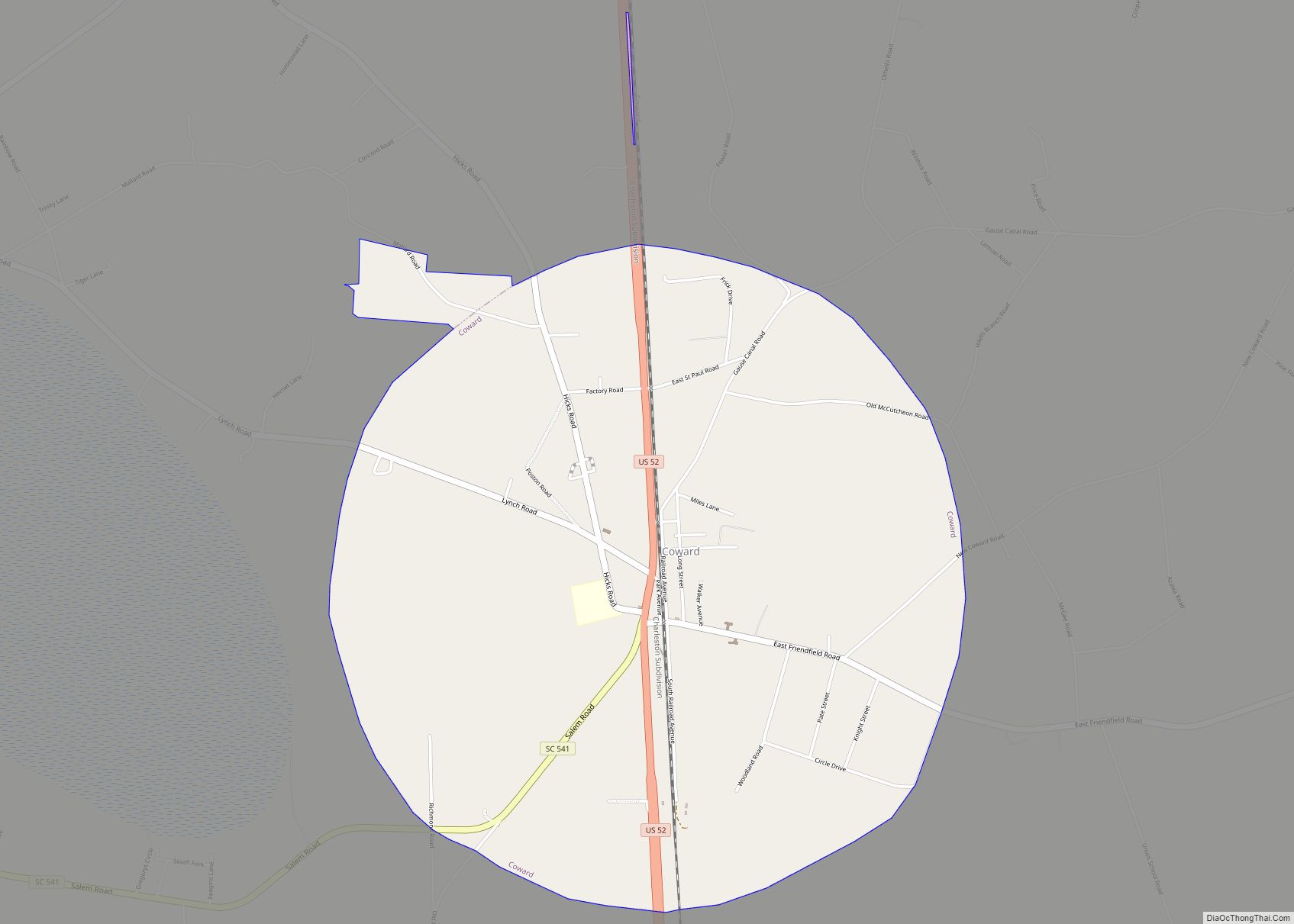
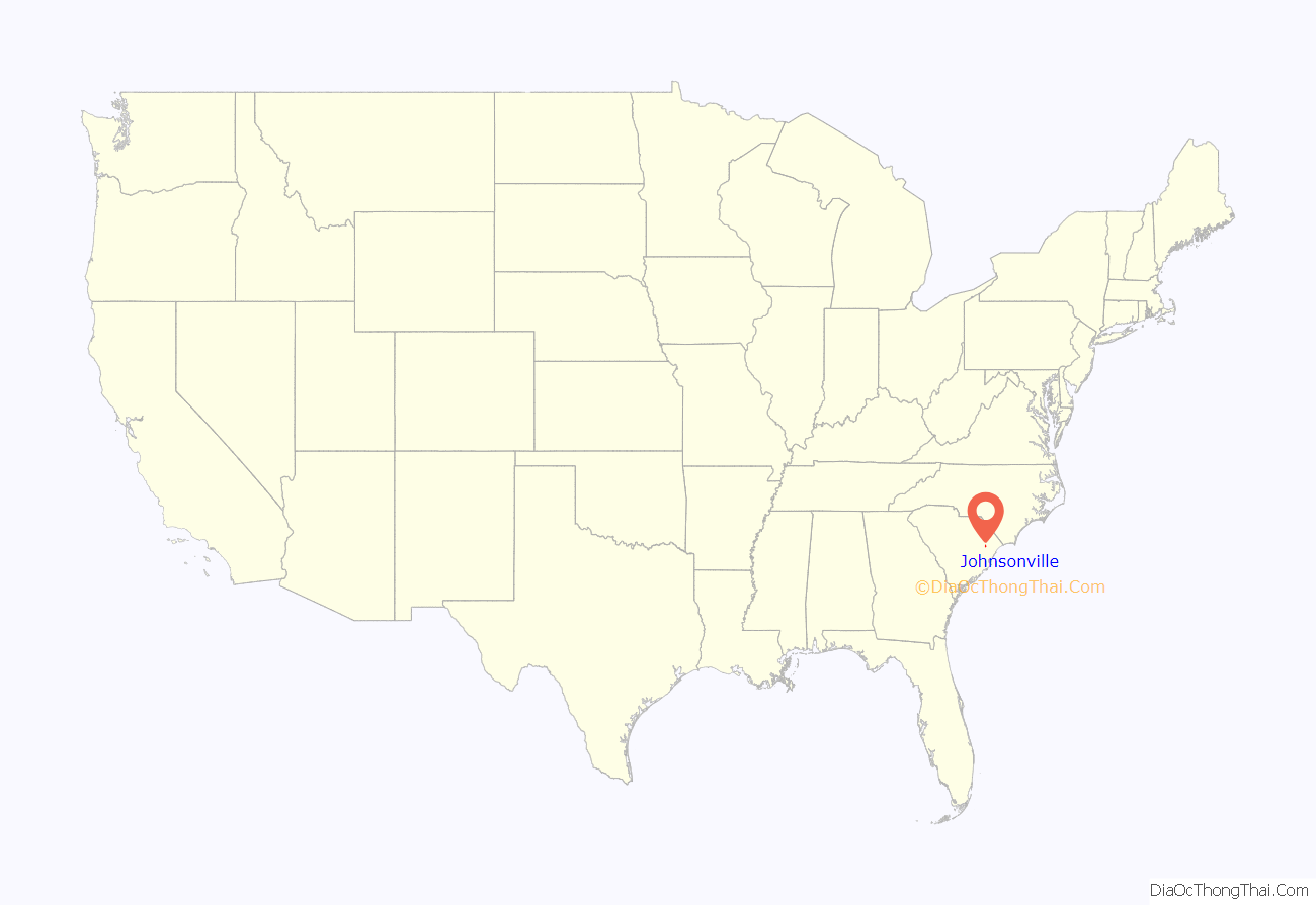
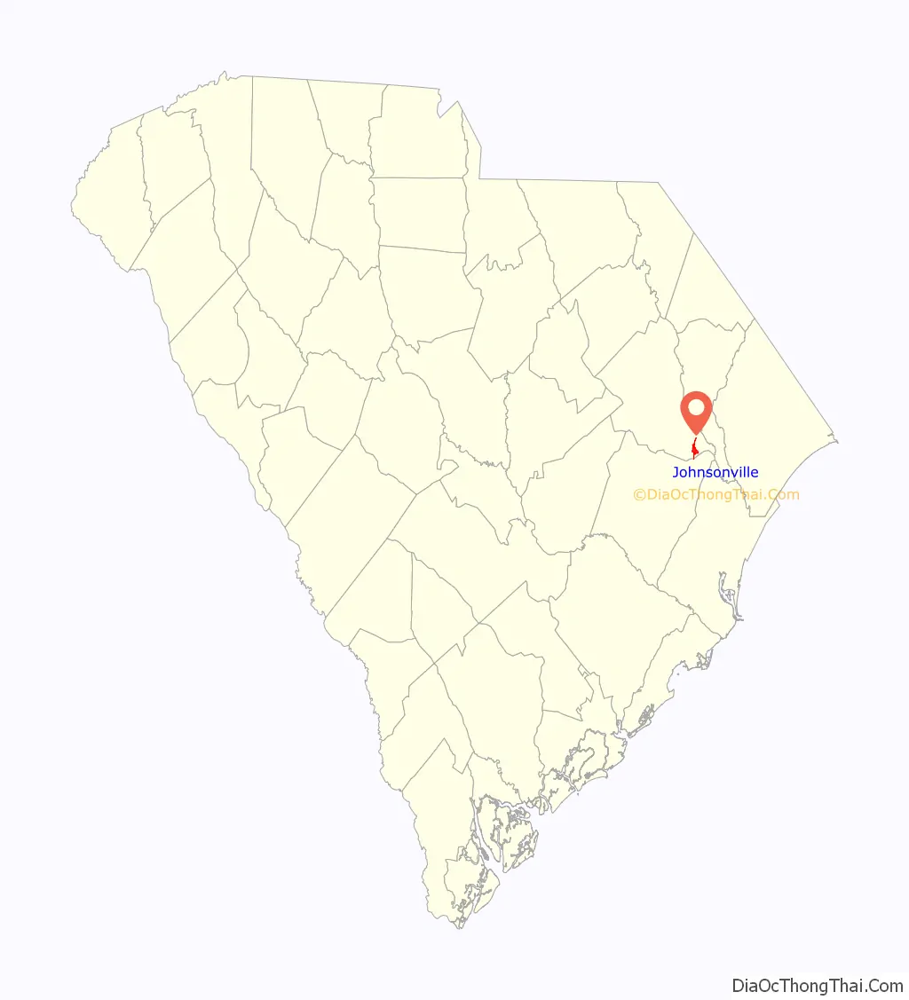
Johnsonville location map. Where is Johnsonville city?
History
In use during the American Revolution, Witherspoon’s Ferry was the site where Francis Marion accepted command of the Williamsburg Militia in 1780. Ownership of the ferry lands passed from Robert to John Witherspoon in 1787. In 1802, John bequeathed the land to Aimwell Presbyterian Church.
Witherspoon’s Ferry was a strategic ferry in the northeastern area of Williamsburg County, vested in John Witherspoon in 1801 and remaining in his charge until his death in 1815. According to the terms of John Witherspoon’s will, the ferry was vested in J.D. Witherspoon, executor, for a term of 14 years, “in trust for and having the sole benefit of the incorporated Presbyterian Church at Aimwell on the Pee Dee River.”
In 1819, former South Carolina Governor David R. Williams, son-in-law of John Witherspoon, obtained these ferry lands. William J. Johnson, born 1787, succeeded J.D. Witherspoon at the ferry after purchasing the plantation in 1825 from the Witherspoon estate. The 1850 census of Williamsburg County shows William Johnson, a man of considerable wealth for his time and place, living just below where the American Legion stands in Johnsonville today.
Johnson’s Ferry was a stagecoach horse changeover and meal break station. As the stagecoach passed east over the Lynches River on the ferry, a Johnson slave in charge of the ferry mules announced the number of passengers with a blast from a fox horn: one blast for each passenger, thus informing Mrs. Johnson of the number of places that should be set for dinner.
The stagecoach stopped at the Johnsons’ house. All the mail for the surrounding communities was left in Capt. Johnson’s care. This provided an excellent reason for him to request a post office be granted. In 1843, a post office named Johnsonville was established near the ferry.
The city of Johnsonville was incorporated in 1913.
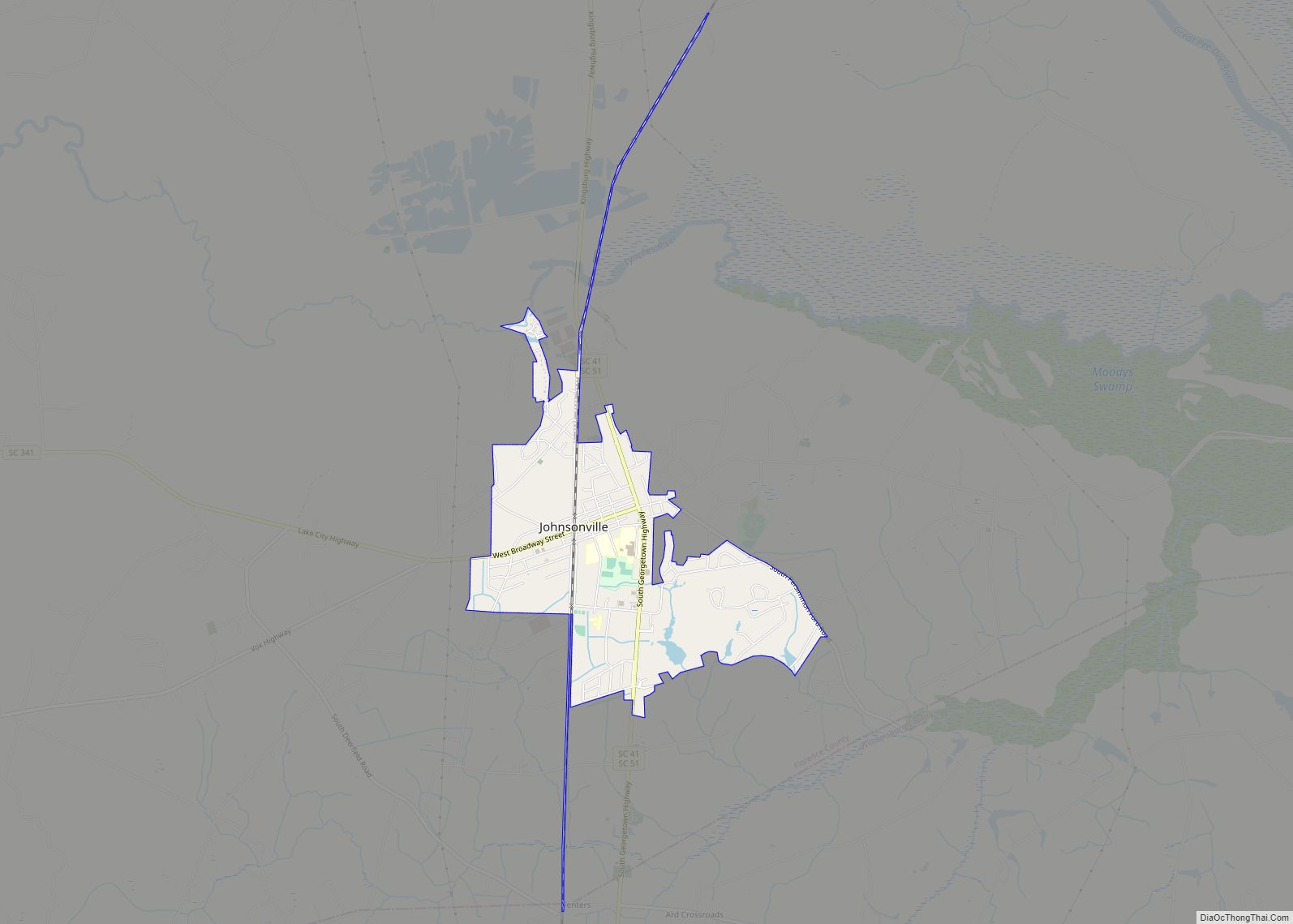
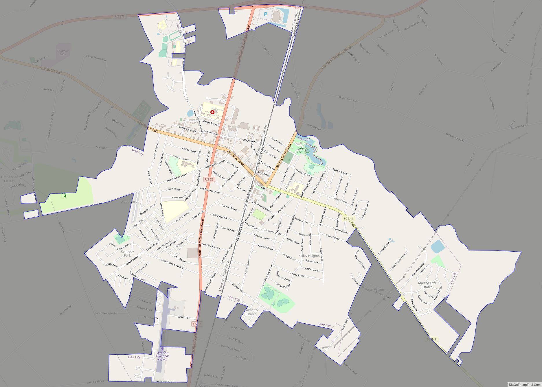
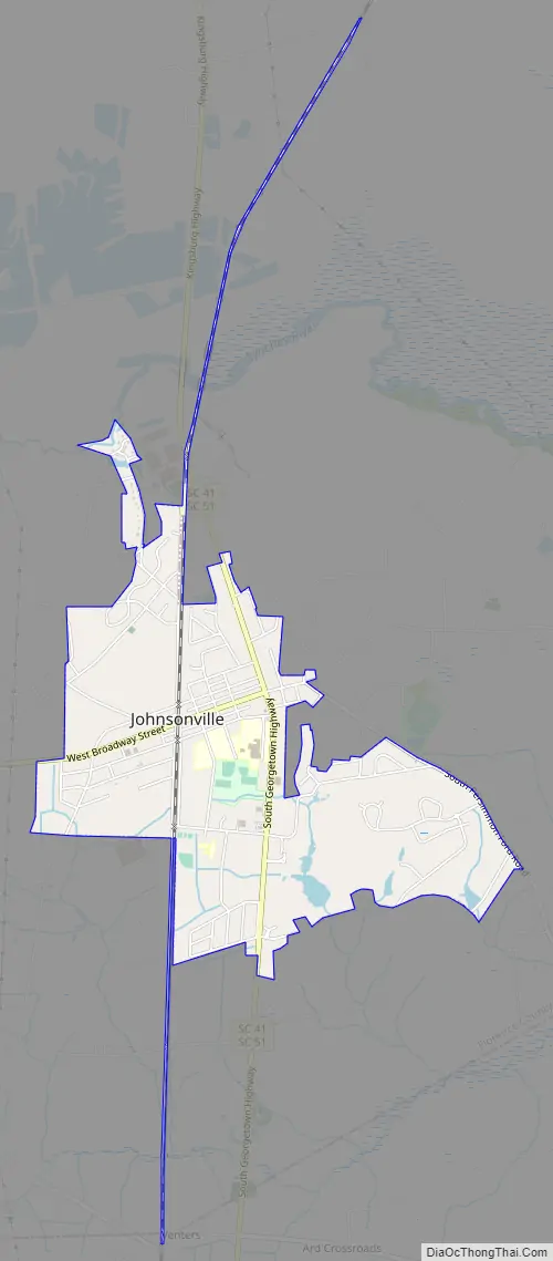
Johnsonville Road Map
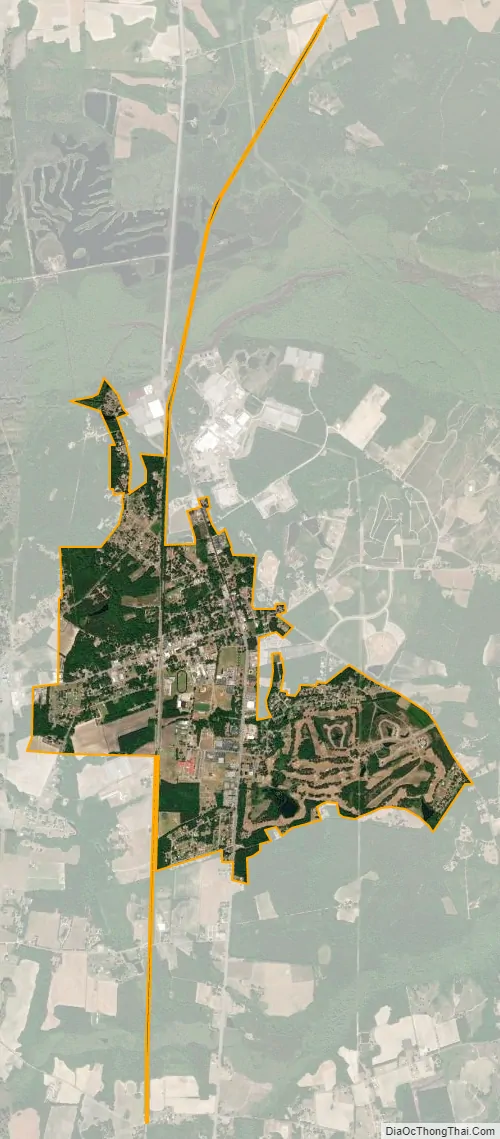
Johnsonville city Satellite Map
Geography
Johnsonville is located in southeastern Florence County at 33°49′4″N 79°26′54″W / 33.81778°N 79.44833°W / 33.81778; -79.44833 (33.817802, -79.448288). The center of town is 1.5 miles (2.4 km) south of the crossing of the Lynches River by South Carolina Highways 41 and 51. The combined highways lead north 4 miles (6 km) to U.S. Route 378 at Kingsburg and south 5 miles (8 km) to Hemingway.
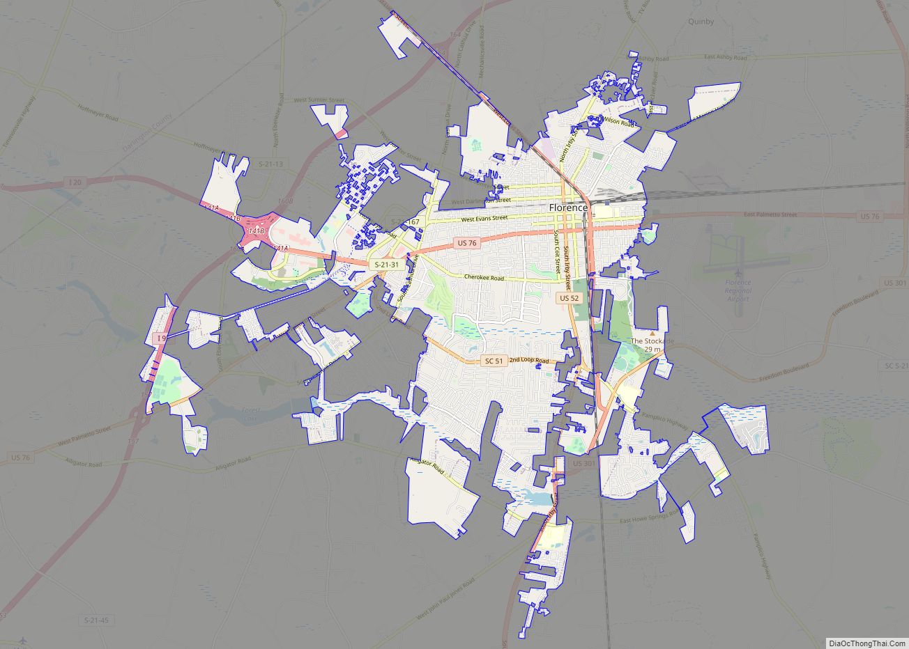
South Carolina Highway 341 passes through the center of town as Broadway Street, leading west 20 miles (32 km) to Lake City. Florence, the county seat, is 35 miles (56 km) to the northwest, while Myrtle Beach is 45 miles (72 km) to the east.
According to the United States Census Bureau, the city has a total area of 2.1 square miles (5.4 km), of which 0.03 square miles (0.07 km), or 1.36%, is water.
The city of Johnsonville is located only a few miles from The Johnsonville Impact Crater, a circular geophysical feature that represents an ancient impact crater, situated at the junction of Lynches River and the Pee Dee River in South Carolina. Snows Island, at that point, is believed to be the upthrust of the center after the impact. This eight-mile-wide crater is not well defined at the surface and was discovered by magnetic anomalies and supported by the study of well drilling cores. Supposed impact breccia was found in these cores.
See also
Map of South Carolina State and its subdivision:- Abbeville
- Aiken
- Allendale
- Anderson
- Bamberg
- Barnwell
- Beaufort
- Berkeley
- Calhoun
- Charleston
- Cherokee
- Chester
- Chesterfield
- Clarendon
- Colleton
- Darlington
- Dillon
- Dorchester
- Edgefield
- Fairfield
- Florence
- Georgetown
- Greenville
- Greenwood
- Hampton
- Horry
- Jasper
- Kershaw
- Lancaster
- Laurens
- Lee
- Lexington
- Marion
- Marlboro
- McCormick
- Newberry
- Oconee
- Orangeburg
- Pickens
- Richland
- Saluda
- Spartanburg
- Sumter
- Union
- Williamsburg
- York
- Alabama
- Alaska
- Arizona
- Arkansas
- California
- Colorado
- Connecticut
- Delaware
- District of Columbia
- Florida
- Georgia
- Hawaii
- Idaho
- Illinois
- Indiana
- Iowa
- Kansas
- Kentucky
- Louisiana
- Maine
- Maryland
- Massachusetts
- Michigan
- Minnesota
- Mississippi
- Missouri
- Montana
- Nebraska
- Nevada
- New Hampshire
- New Jersey
- New Mexico
- New York
- North Carolina
- North Dakota
- Ohio
- Oklahoma
- Oregon
- Pennsylvania
- Rhode Island
- South Carolina
- South Dakota
- Tennessee
- Texas
- Utah
- Vermont
- Virginia
- Washington
- West Virginia
- Wisconsin
- Wyoming