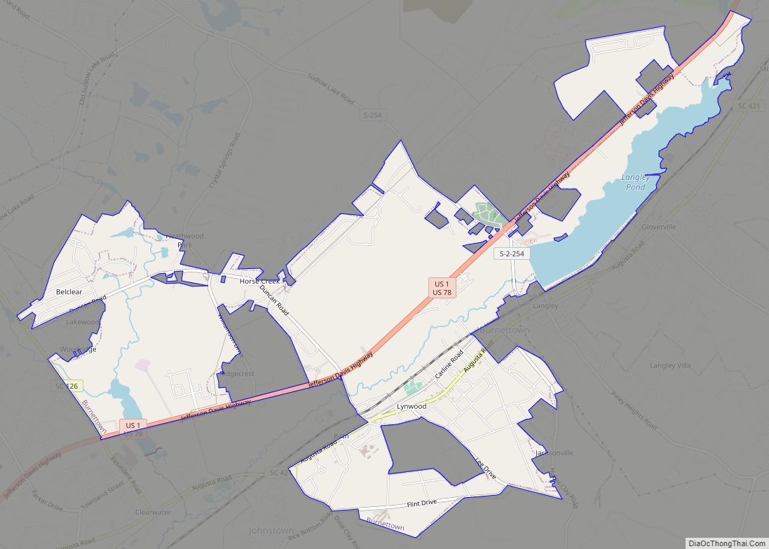
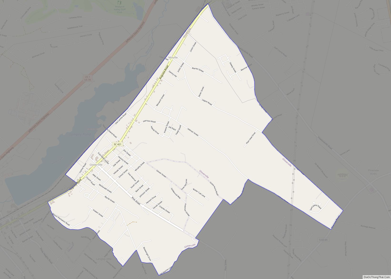
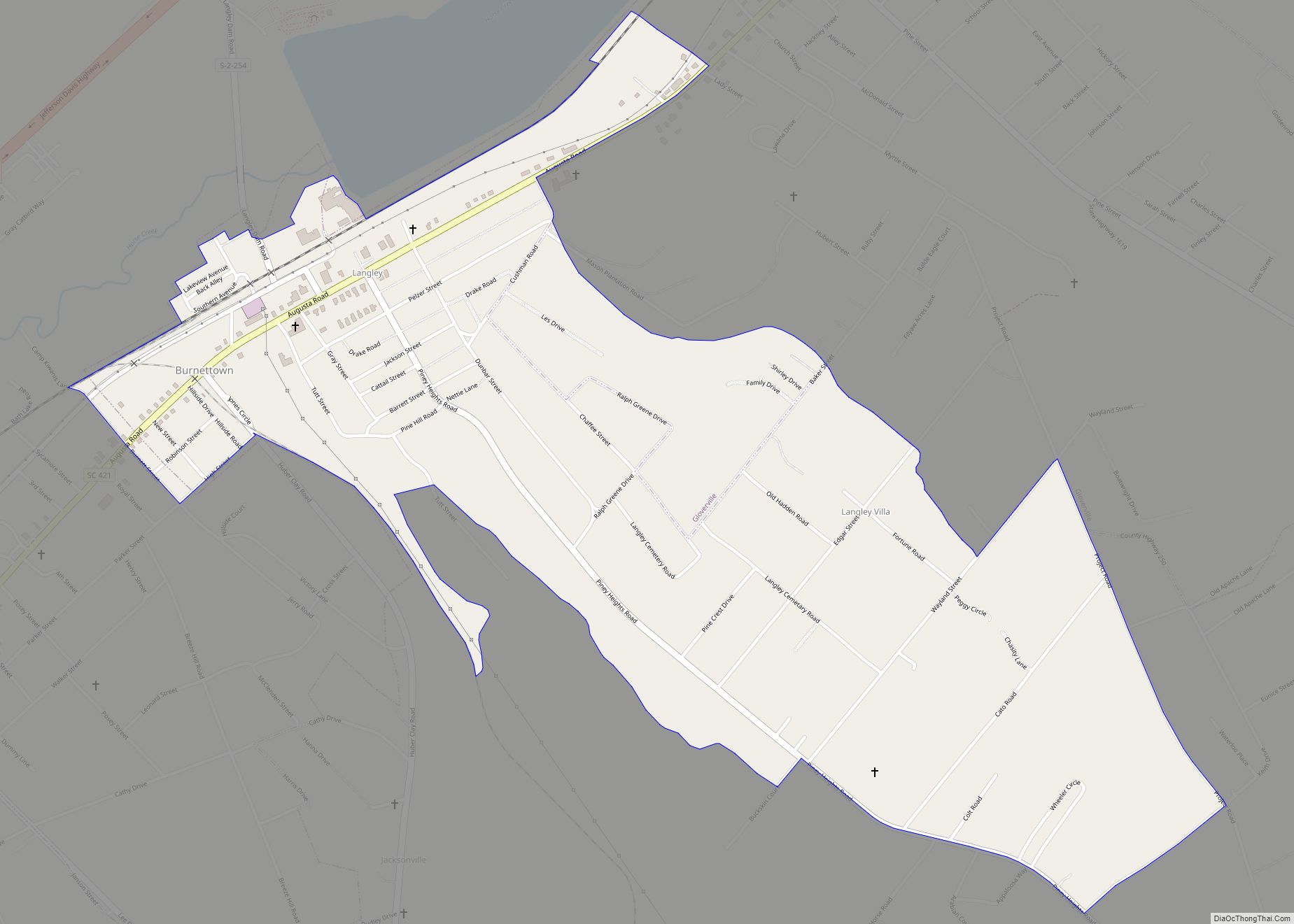
Langley is a census-designated place (CDP) in Aiken County, South Carolina, United States. The population was 1,447 at the 2010 census. It is bordered by Gloverville to the northeast and Burnettown to the west.
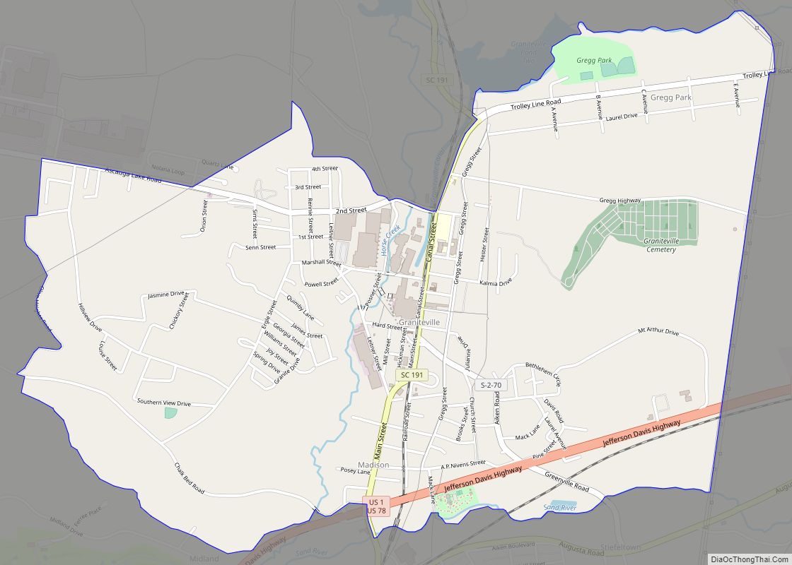
Langley is part of the Augusta, Georgia metropolitan area. Langley is located in historic Horse Creek Valley. It sits next to the Langley pond. The town was named Langley in March 1870, at a meeting of the Board of Directors for the Langley Manufacturing Company in nearby Hamburg. The name was chosen in honor of William C. Langley of Brooklyn, New York, the company’s principal stockholder. The original name was Kalmia, after the Kalmia Mills, purchased by Langley and several other stockholders. This was reported in the Augusta Chronicle in March 1870. According to Who Was Who in America, William C. Langley was a shrewd and astute 19th-century businessman who amassed a fortune in the textile industry.
| Name: | Langley CDP |
|---|---|
| LSAD Code: | 57 |
| LSAD Description: | CDP (suffix) |
| State: | South Carolina |
| County: | Aiken County |
| Elevation: | 190 ft (60 m) |
| Total Area: | 1.14 sq mi (2.95 km²) |
| Land Area: | 1.14 sq mi (2.94 km²) |
| Water Area: | 0.00 sq mi (0.01 km²) |
| Total Population: | 1,485 |
| Population Density: | 1,307.22/sq mi (504.87/km²) |
| ZIP code: | 29834 |
| Area code: | 803 and 839 |
| FIPS code: | 4540390 |
| GNISfeature ID: | 1246294 |
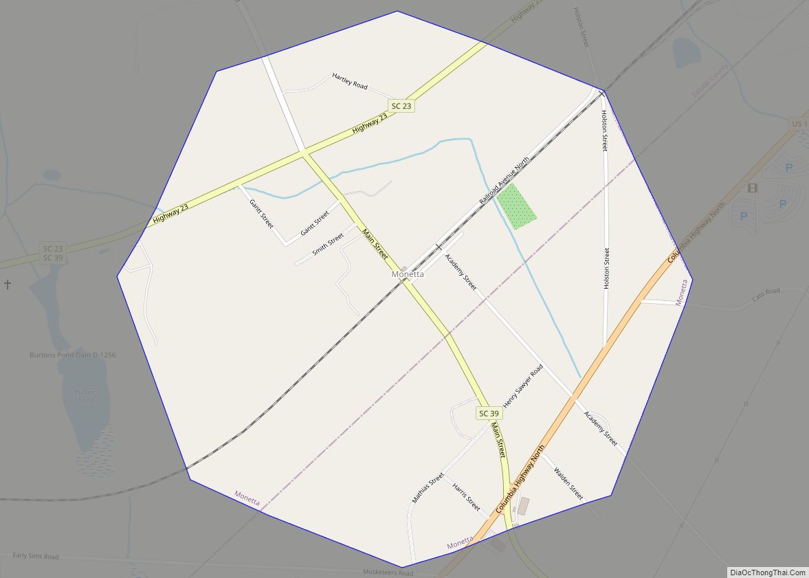
Online Interactive Map
Click on ![]() to view map in "full screen" mode.
to view map in "full screen" mode.
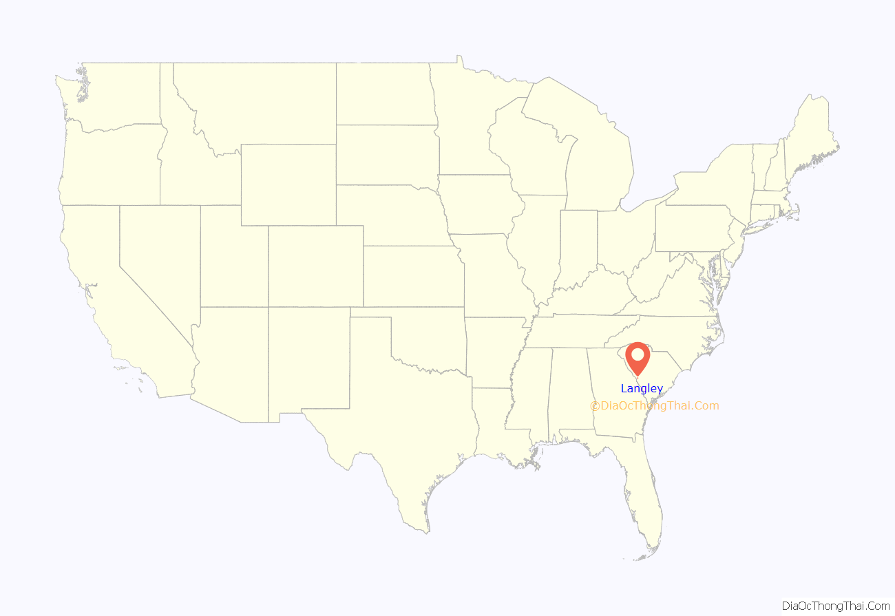
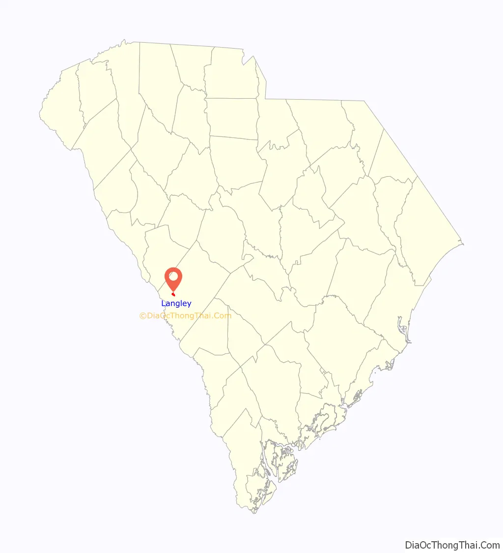
Langley location map. Where is Langley CDP?
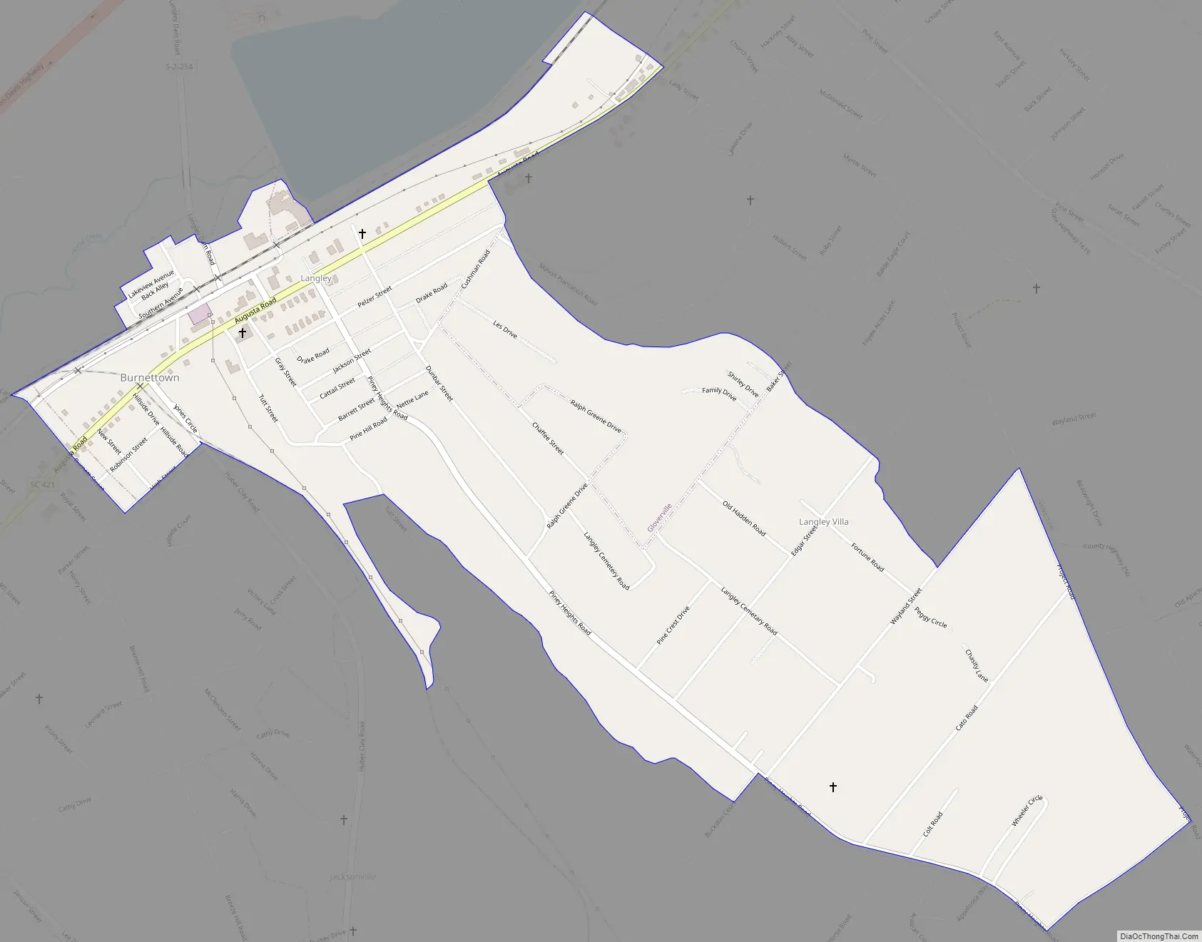
Langley Road Map
Langley city Satellite Map

See also
Map of South Carolina State and its subdivision:- Abbeville
- Aiken
- Allendale
- Anderson
- Bamberg
- Barnwell
- Beaufort
- Berkeley
- Calhoun
- Charleston
- Cherokee
- Chester
- Chesterfield
- Clarendon
- Colleton
- Darlington
- Dillon
- Dorchester
- Edgefield
- Fairfield
- Florence
- Georgetown
- Greenville
- Greenwood
- Hampton
- Horry
- Jasper
- Kershaw
- Lancaster
- Laurens
- Lee
- Lexington
- Marion
- Marlboro
- McCormick
- Newberry
- Oconee
- Orangeburg
- Pickens
- Richland
- Saluda
- Spartanburg
- Sumter
- Union
- Williamsburg
- York
- Alabama
- Alaska
- Arizona
- Arkansas
- California
- Colorado
- Connecticut
- Delaware
- District of Columbia
- Florida
- Georgia
- Hawaii
- Idaho
- Illinois
- Indiana
- Iowa
- Kansas
- Kentucky
- Louisiana
- Maine
- Maryland
- Massachusetts
- Michigan
- Minnesota
- Mississippi
- Missouri
- Montana
- Nebraska
- Nevada
- New Hampshire
- New Jersey
- New Mexico
- New York
- North Carolina
- North Dakota
- Ohio
- Oklahoma
- Oregon
- Pennsylvania
- Rhode Island
- South Carolina
- South Dakota
- Tennessee
- Texas
- Utah
- Vermont
- Virginia
- Washington
- West Virginia
- Wisconsin
- Wyoming