Little River is a census-designated place (CDP) in Horry County, South Carolina, United States. The population was 11,711 at the 2020 census.
Little River is named for the Little River, which flows into the Atlantic Ocean at the state line between North Carolina and South Carolina. The Little River inlet has long been a breakpoint for tropical cyclone warnings.
| Name: | Little River CDP |
|---|---|
| LSAD Code: | 57 |
| LSAD Description: | CDP (suffix) |
| State: | South Carolina |
| County: | Horry County |
| Elevation: | 39 ft (12 m) |
| Total Area: | 10.82 sq mi (28.03 km²) |
| Land Area: | 10.48 sq mi (27.14 km²) |
| Water Area: | 0.34 sq mi (0.89 km²) |
| Total Population: | 11,711 |
| Population Density: | 1,117.57/sq mi (431.49/km²) |
| ZIP code: | 29566 |
| Area code: | 843, 854 |
| FIPS code: | 4542010 |
| GNISfeature ID: | 1231489 |
| Website: | www.littleriversc.com |
Online Interactive Map
Click on ![]() to view map in "full screen" mode.
to view map in "full screen" mode.
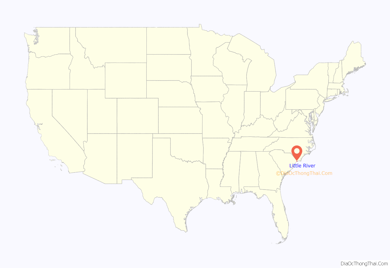
Little River location map. Where is Little River CDP?
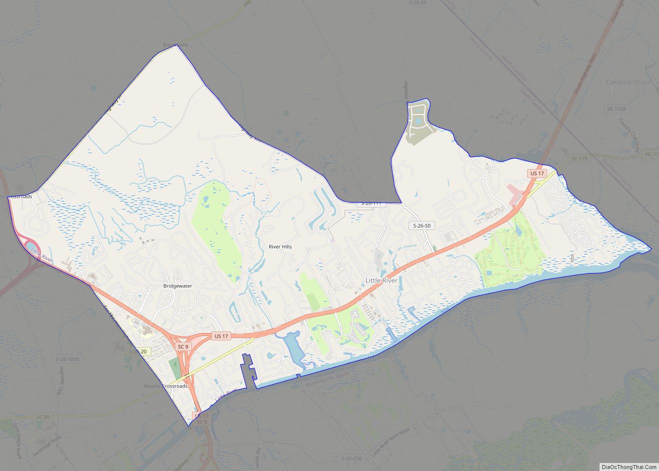
Little River Road Map
Little River city Satellite Map
Geography
Little River is located at 33°52′18″N 78°37′40″W / 33.87167°N 78.62778°W / 33.87167; -78.62778 (33.871629, -78.627733).
According to the United States Census Bureau, the CDP has a total area of 10.8 square miles (28.0 km), of which 10.5 square miles (27.1 km) is land and 0.4 square mile (0.9 km) (3.33%) is water. The area is mainly made up of housing developments, old scrub pine forests, marshes and swamps and is bordered by the Waccamaw River and the Atlantic Intracoastal waterway. Live oaks, Spanish moss and palm trees dot the landscape.
See also
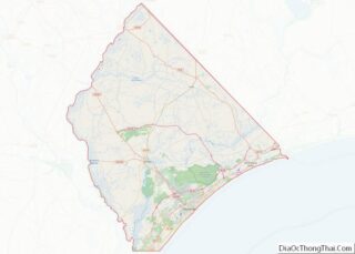
Map of South Carolina State and its subdivision:- Abbeville
- Aiken
- Allendale
- Anderson
- Bamberg
- Barnwell
- Beaufort
- Berkeley
- Calhoun
- Charleston
- Cherokee
- Chester
- Chesterfield
- Clarendon
- Colleton
- Darlington
- Dillon
- Dorchester
- Edgefield
- Fairfield
- Florence
- Georgetown
- Greenville
- Greenwood
- Hampton
- Horry
- Jasper
- Kershaw
- Lancaster
- Laurens
- Lee
- Lexington
- Marion
- Marlboro
- McCormick
- Newberry
- Oconee
- Orangeburg
- Pickens
- Richland
- Saluda
- Spartanburg
- Sumter
- Union
- Williamsburg
- York
- Alabama
- Alaska
- Arizona
- Arkansas
- California
- Colorado
- Connecticut
- Delaware
- District of Columbia
- Florida
- Georgia
- Hawaii
- Idaho
- Illinois
- Indiana
- Iowa
- Kansas
- Kentucky
- Louisiana
- Maine
- Maryland
- Massachusetts
- Michigan
- Minnesota
- Mississippi
- Missouri
- Montana
- Nebraska
- Nevada
- New Hampshire
- New Jersey
- New Mexico
- New York
- North Carolina
- North Dakota
- Ohio
- Oklahoma
- Oregon
- Pennsylvania
- Rhode Island
- South Carolina
- South Dakota
- Tennessee
- Texas
- Utah
- Vermont
- Virginia
- Washington
- West Virginia
- Wisconsin
- Wyoming
