Loris is a city in Horry County, South Carolina, United States. The population was 2,396 at the 2010 census, up from 2,079 in 2000.
| Name: | Loris city |
|---|---|
| LSAD Code: | 25 |
| LSAD Description: | city (suffix) |
| State: | South Carolina |
| County: | Horry County |
| Elevation: | 98 ft (30 m) |
| Total Area: | 4.57 sq mi (11.84 km²) |
| Land Area: | 4.55 sq mi (11.79 km²) |
| Water Area: | 0.02 sq mi (0.05 km²) |
| Total Population: | 2,449 |
| Population Density: | 537.89/sq mi (207.70/km²) |
| ZIP code: | 29569 |
| Area code: | 843, 854 |
| FIPS code: | 4542730 |
| GNISfeature ID: | 1246470 |
| Website: | www.cityoflorissc.com |
Online Interactive Map
Click on ![]() to view map in "full screen" mode.
to view map in "full screen" mode.
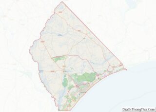
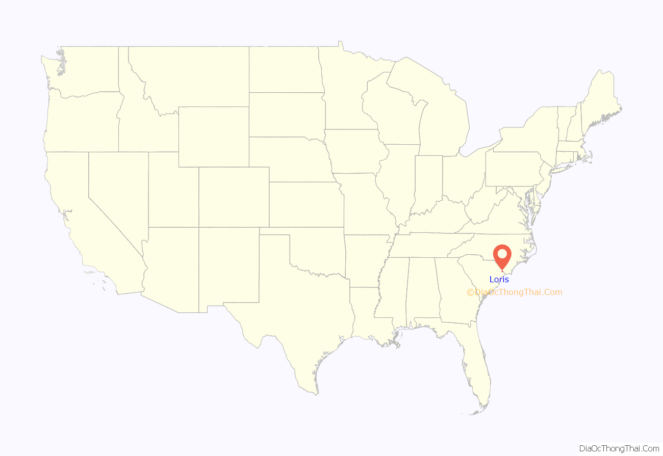
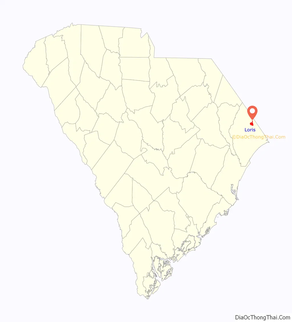
Loris location map. Where is Loris city?
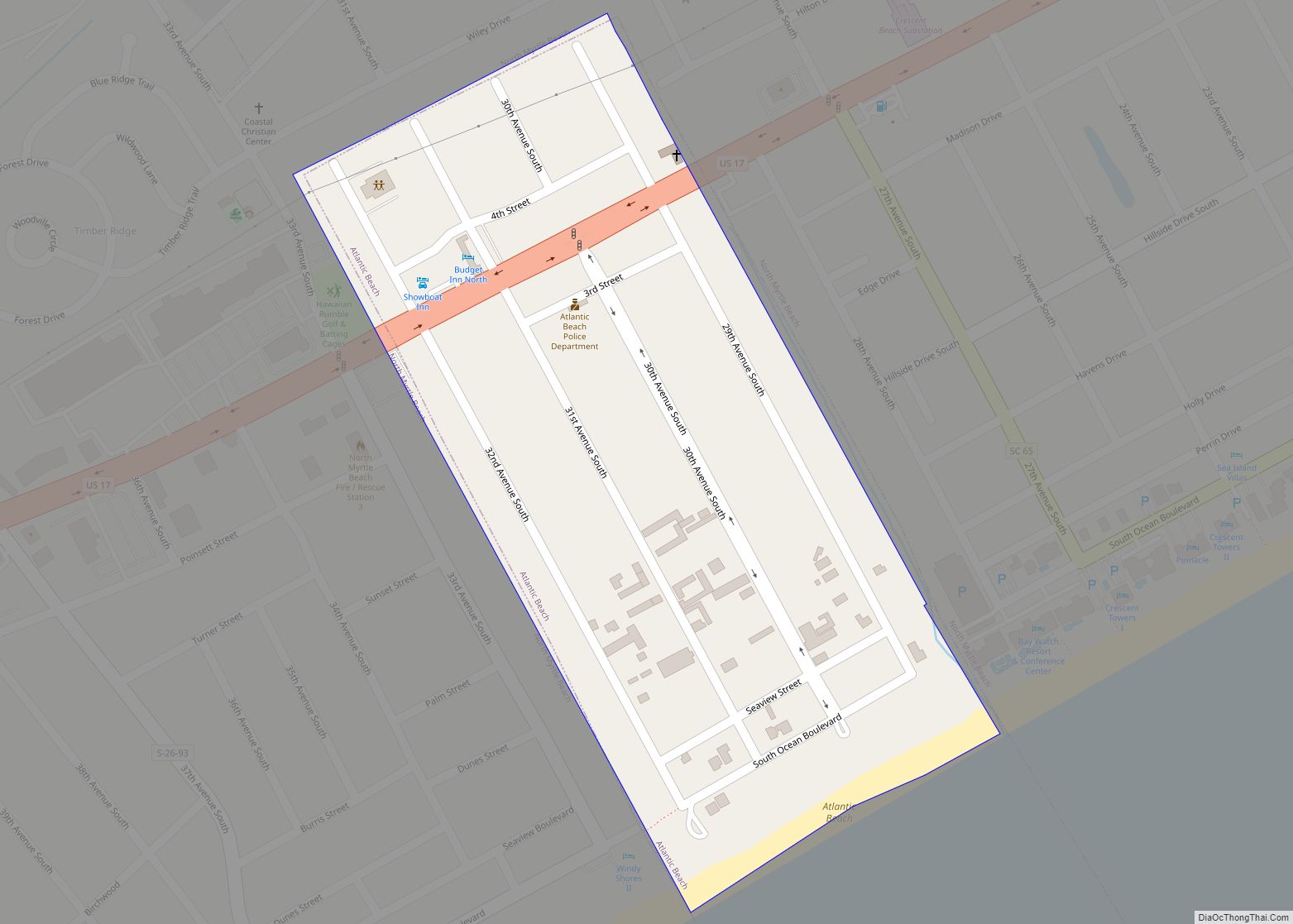
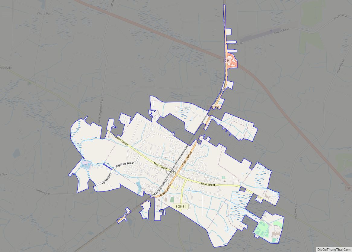
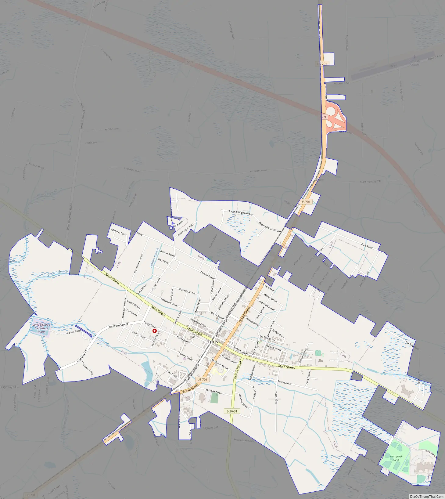
Loris Road Map
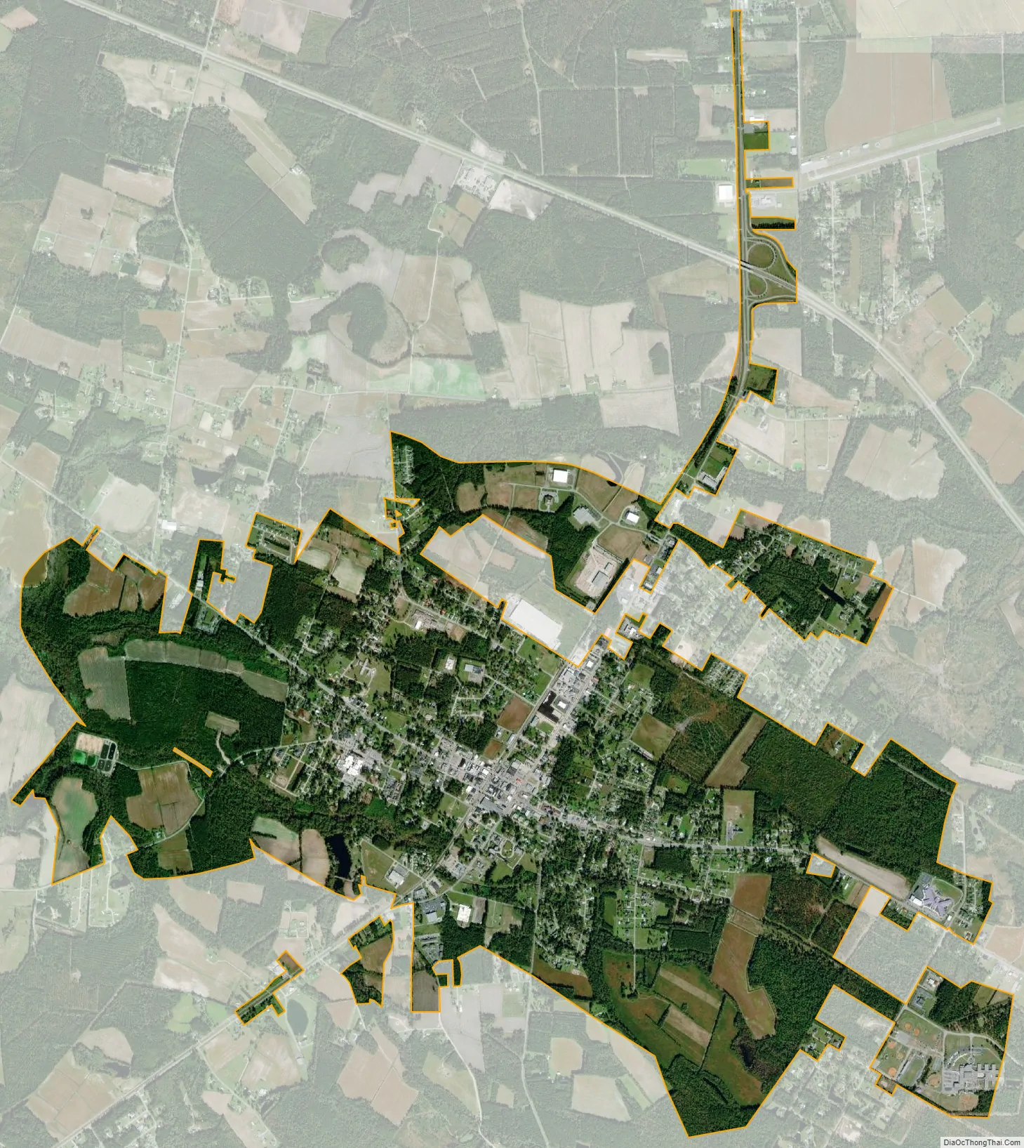
Loris city Satellite Map
Geography
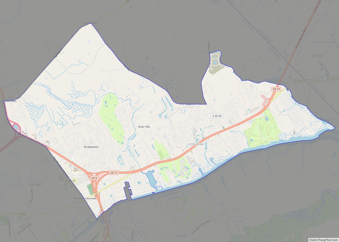
Loris is in northern Horry County on the Atlantic coastal plain. U.S. Route 701 passes through the city, leading southwest 19 miles (31 km) to Conway, the Horry county seat, and north 7 miles (11 km) to Tabor City, North Carolina. South Carolina Highway 9, a four-lane highway, passes 2 miles (3 km) north of Loris, leading northwest 18 miles (29 km) to Nichols and southeast 21 miles (34 km) to North Myrtle Beach. SC Highway 9 Business (Main Street) crosses US 701 in the center of Loris, leading northwest 7 miles (11 km) to SC 9 near Green Sea, and southeast 6 miles (10 km) to SC 9 near Goretown.
According to the United States Census Bureau, the city of Loris has a total area of 4.6 square miles (11.8 km), of which 0.02 square miles (0.05 km), or 0.43%, are water.
See also
Map of South Carolina State and its subdivision:- Abbeville
- Aiken
- Allendale
- Anderson
- Bamberg
- Barnwell
- Beaufort
- Berkeley
- Calhoun
- Charleston
- Cherokee
- Chester
- Chesterfield
- Clarendon
- Colleton
- Darlington
- Dillon
- Dorchester
- Edgefield
- Fairfield
- Florence
- Georgetown
- Greenville
- Greenwood
- Hampton
- Horry
- Jasper
- Kershaw
- Lancaster
- Laurens
- Lee
- Lexington
- Marion
- Marlboro
- McCormick
- Newberry
- Oconee
- Orangeburg
- Pickens
- Richland
- Saluda
- Spartanburg
- Sumter
- Union
- Williamsburg
- York
- Alabama
- Alaska
- Arizona
- Arkansas
- California
- Colorado
- Connecticut
- Delaware
- District of Columbia
- Florida
- Georgia
- Hawaii
- Idaho
- Illinois
- Indiana
- Iowa
- Kansas
- Kentucky
- Louisiana
- Maine
- Maryland
- Massachusetts
- Michigan
- Minnesota
- Mississippi
- Missouri
- Montana
- Nebraska
- Nevada
- New Hampshire
- New Jersey
- New Mexico
- New York
- North Carolina
- North Dakota
- Ohio
- Oklahoma
- Oregon
- Pennsylvania
- Rhode Island
- South Carolina
- South Dakota
- Tennessee
- Texas
- Utah
- Vermont
- Virginia
- Washington
- West Virginia
- Wisconsin
- Wyoming