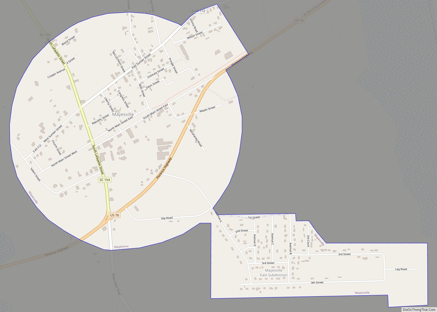
Mayesville is a town in Sumter County, South Carolina, United States. The population was 731 at the 2010 census, this was a decline from 1,001 in 2000. It is included in the Sumter, South Carolina Metropolitan Statistical Area.
| Name: | Mayesville town |
|---|---|
| LSAD Code: | 43 |
| LSAD Description: | town (suffix) |
| State: | South Carolina |
| County: | Sumter County |
| Elevation: | 138 ft (42 m) |
| Total Area: | 1.02 sq mi (2.65 km²) |
| Land Area: | 1.02 sq mi (2.65 km²) |
| Water Area: | 0.00 sq mi (0.00 km²) |
| Total Population: | 548 |
| Population Density: | 535.16/sq mi (206.66/km²) |
| ZIP code: | 29104 |
| Area code: | 803, 839 |
| FIPS code: | 4545295 |
| GNISfeature ID: | 1246570 |
| Website: | mayesvillesc.com |
Online Interactive Map
Click on ![]() to view map in "full screen" mode.
to view map in "full screen" mode.
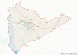
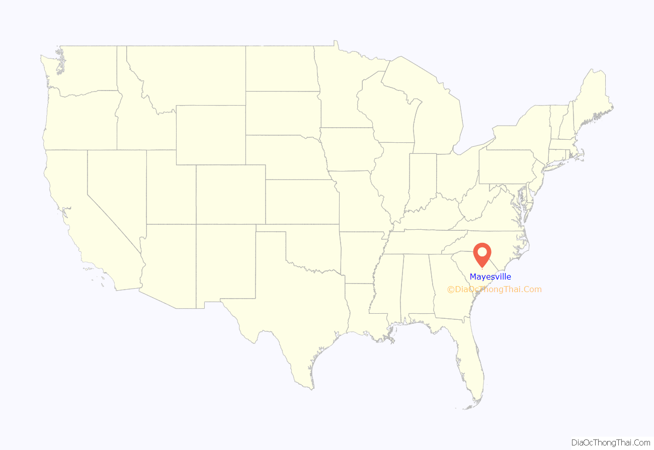
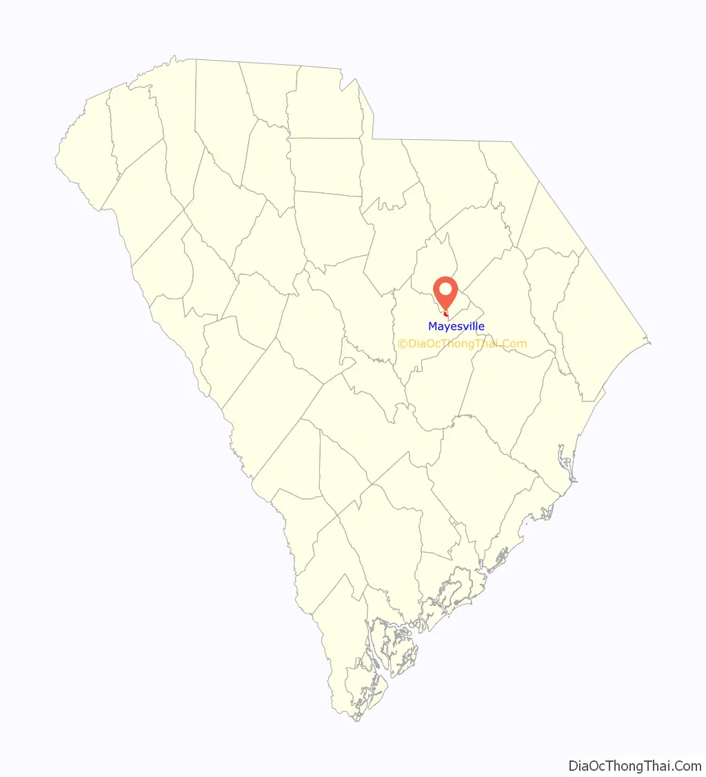
Mayesville location map. Where is Mayesville town?
History
The town was named for the Mayes family of early settlers after the Wilmington and Manchester Railroad cut through the Mayes’ property and began as Mayes Station in 1852, replacing an earlier name of Bradleyville, South Carolina.
Fortunes made in cotton and tobacco created wealthy landowners in this area of South Carolina. Mayesville served the local area as a place to process and sell these products and to obtain supplies. Merchants such as I.W. Bradley, Witherspoon Cooper and Isaac Strauss opened some of the earliest businesses in town. The town suffered greatly during the Civil War but thrived again for several decades beginning in about 1880.
The patriarch of the Mayes family, Matthew Peterson Mayes II, known as “the Squire,” had been a merchant in Raleigh, North Carolina, was wounded in the War of 1812, and then turned to farming. Purchasing an existing plantation prior to 1819, he turned this small beginning into an empire that would survive the Civil War. He died in 1879 and was buried in the historic cemetery at Salem Black River Presbyterian Church. His great-great grandson James Edgar Mayes, known locally as “Bubba Jim” presided over an 8,000-acre cotton plantation in Mayesville and served as president of the National Cotton Council before his death in 1994. His passing was recognized by the South Carolina Legislature.
Goodwill Parochial School and Mayesville Historic District are listed on the National Register of Historic Places. The Kineen Hotel is one of the more significant historic buildings still standing.
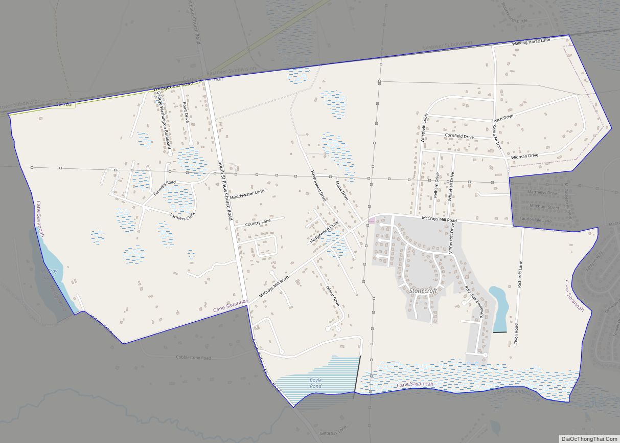
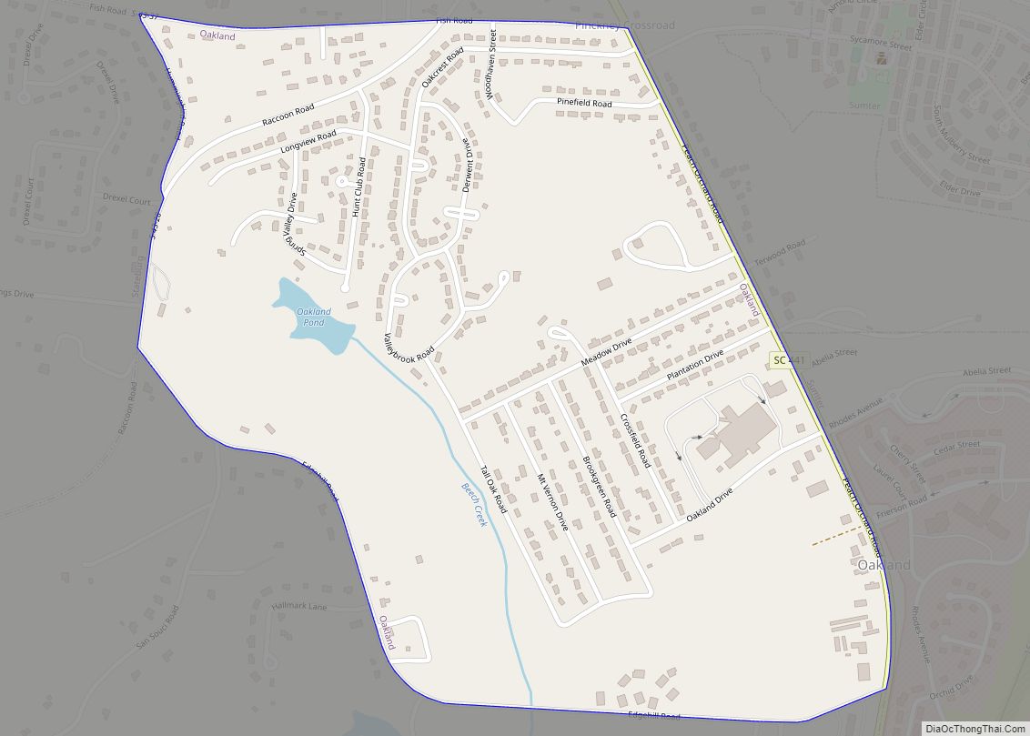
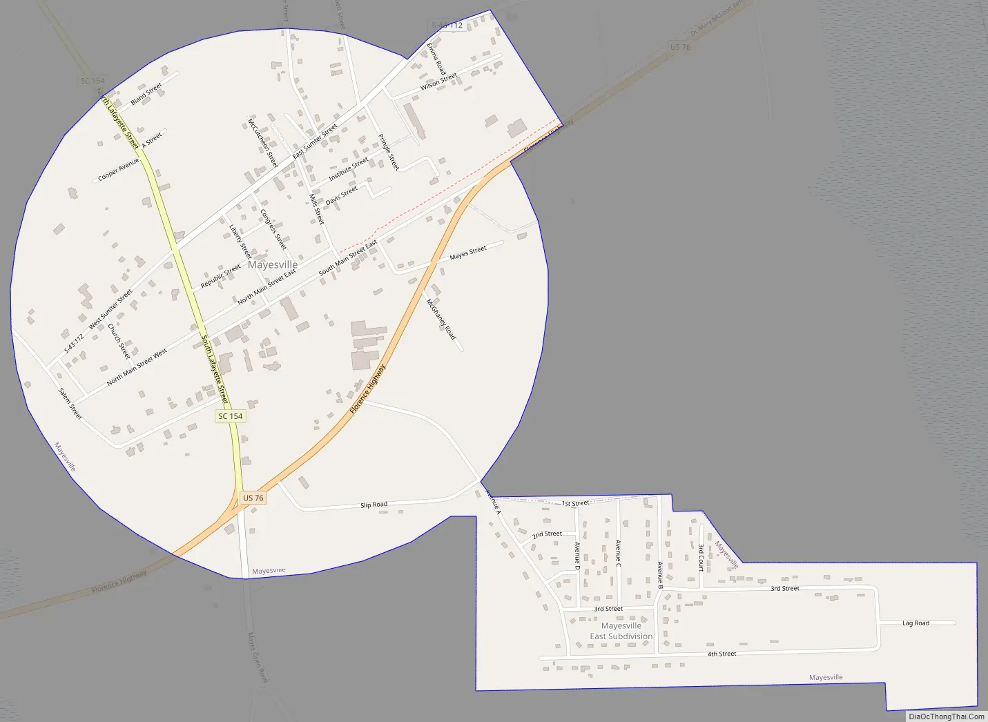
Mayesville Road Map
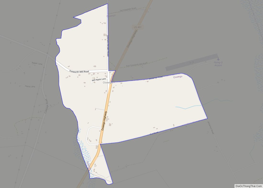
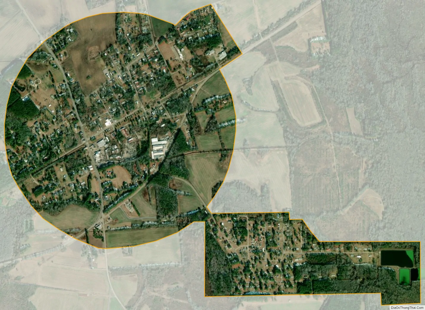
Mayesville city Satellite Map
Geography
Mayesville is located at 33°59′8″N 80°12′26″W / 33.98556°N 80.20722°W / 33.98556; -80.20722 (33.985514, -80.207302).
According to the United States Census Bureau, the town has a total area of 1.0 square miles (2.7 km), all land.
See also
Map of South Carolina State and its subdivision:- Abbeville
- Aiken
- Allendale
- Anderson
- Bamberg
- Barnwell
- Beaufort
- Berkeley
- Calhoun
- Charleston
- Cherokee
- Chester
- Chesterfield
- Clarendon
- Colleton
- Darlington
- Dillon
- Dorchester
- Edgefield
- Fairfield
- Florence
- Georgetown
- Greenville
- Greenwood
- Hampton
- Horry
- Jasper
- Kershaw
- Lancaster
- Laurens
- Lee
- Lexington
- Marion
- Marlboro
- McCormick
- Newberry
- Oconee
- Orangeburg
- Pickens
- Richland
- Saluda
- Spartanburg
- Sumter
- Union
- Williamsburg
- York
- Alabama
- Alaska
- Arizona
- Arkansas
- California
- Colorado
- Connecticut
- Delaware
- District of Columbia
- Florida
- Georgia
- Hawaii
- Idaho
- Illinois
- Indiana
- Iowa
- Kansas
- Kentucky
- Louisiana
- Maine
- Maryland
- Massachusetts
- Michigan
- Minnesota
- Mississippi
- Missouri
- Montana
- Nebraska
- Nevada
- New Hampshire
- New Jersey
- New Mexico
- New York
- North Carolina
- North Dakota
- Ohio
- Oklahoma
- Oregon
- Pennsylvania
- Rhode Island
- South Carolina
- South Dakota
- Tennessee
- Texas
- Utah
- Vermont
- Virginia
- Washington
- West Virginia
- Wisconsin
- Wyoming