North Hartsville is a census-designated place (CDP) in Darlington County, South Carolina, United States. The population was 3,251 at the 2010 census. It is part of the Florence Metropolitan Statistical Area and the Hartsville Urban Cluster.
| Name: | North Hartsville CDP |
|---|---|
| LSAD Code: | 57 |
| LSAD Description: | CDP (suffix) |
| State: | South Carolina |
| County: | Darlington County |
| Elevation: | 223 ft (68 m) |
| Total Area: | 4.54 sq mi (11.74 km²) |
| Land Area: | 4.53 sq mi (11.73 km²) |
| Water Area: | 0.01 sq mi (0.02 km²) |
| Total Population: | 2,775 |
| Population Density: | 612.72/sq mi (236.59/km²) |
| ZIP code: | 29550 |
| Area code: | 843 and 854 |
| FIPS code: | 4551145 |
| GNISfeature ID: | 1231599 |
Online Interactive Map
Click on ![]() to view map in "full screen" mode.
to view map in "full screen" mode.
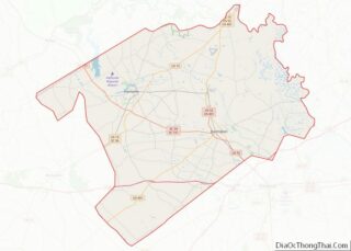
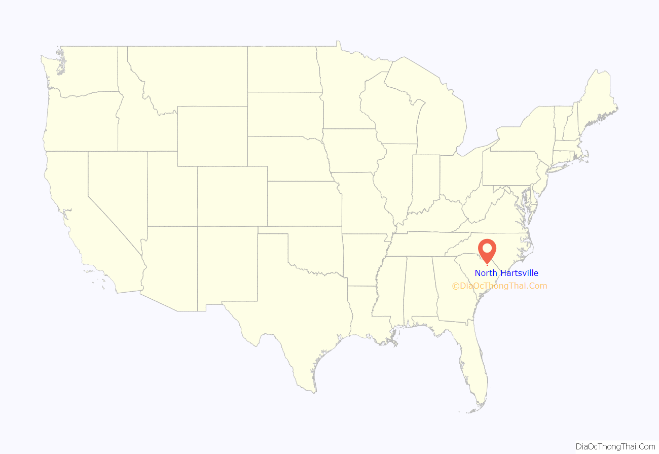
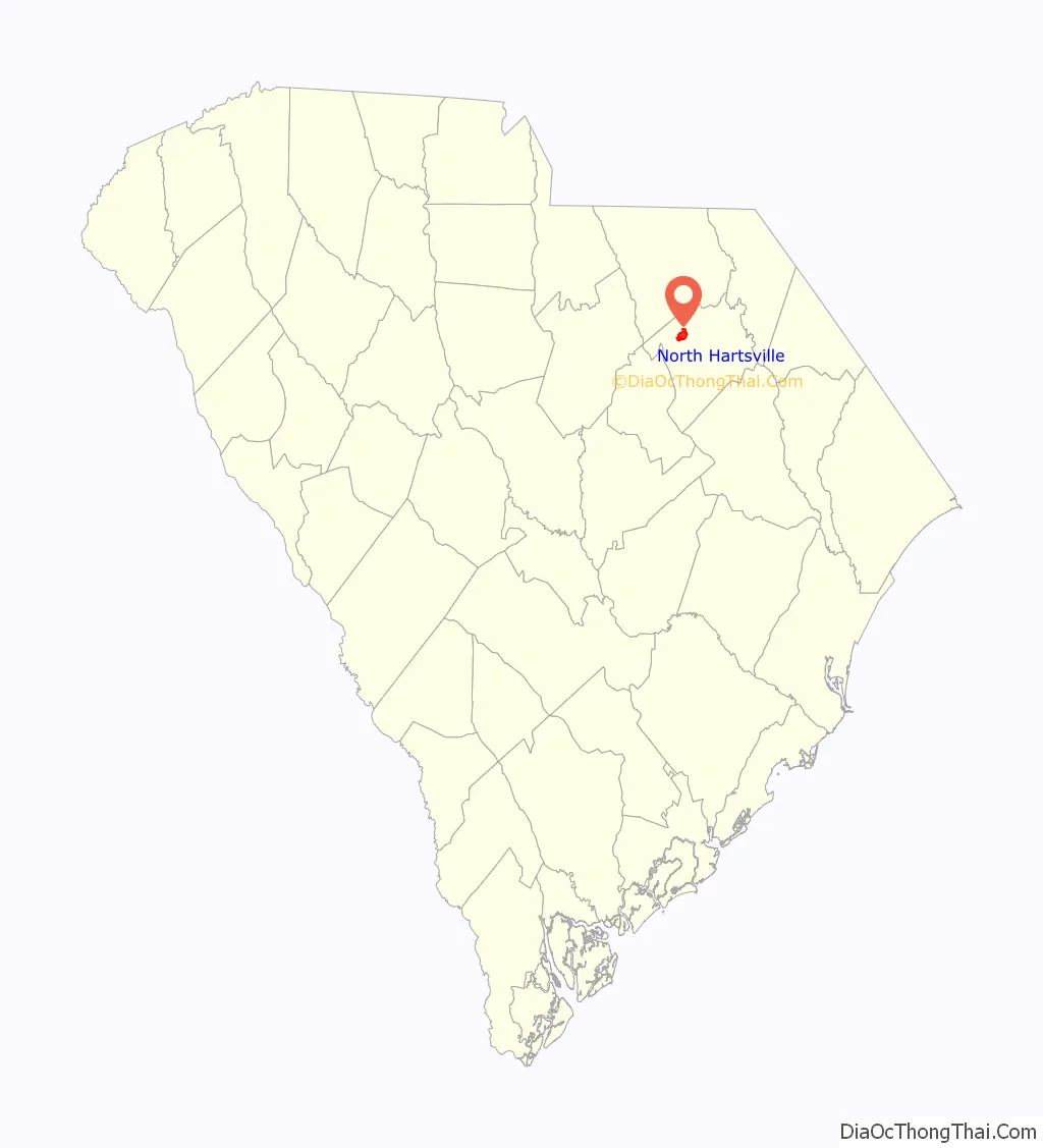
North Hartsville location map. Where is North Hartsville CDP?
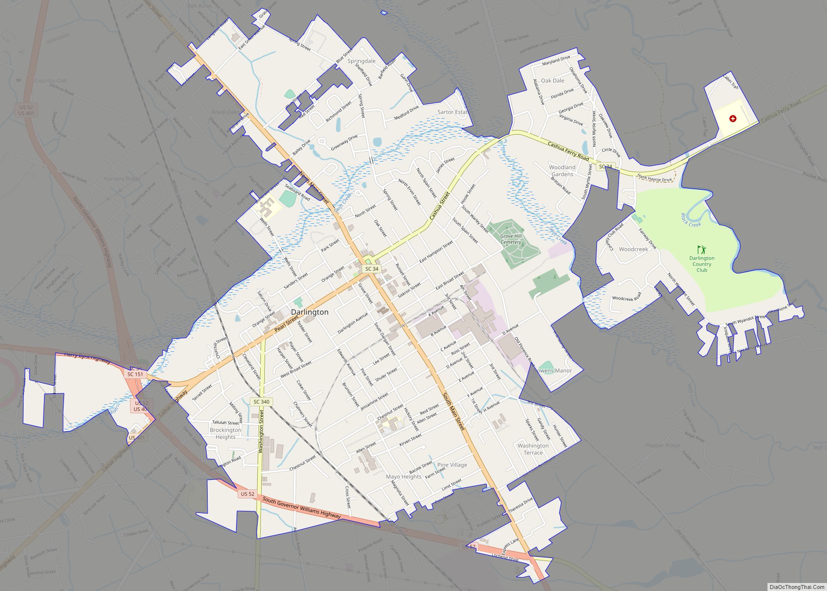
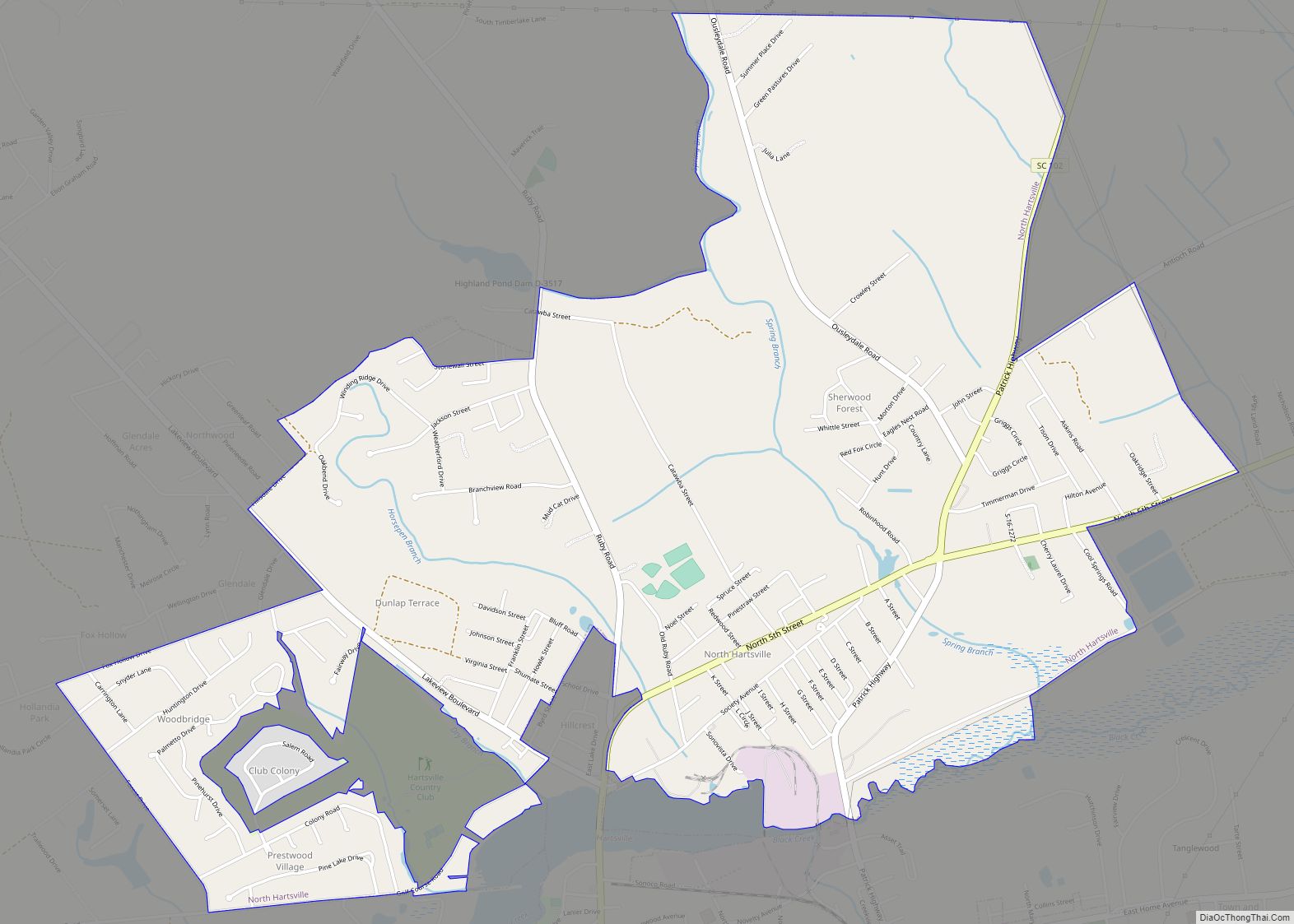
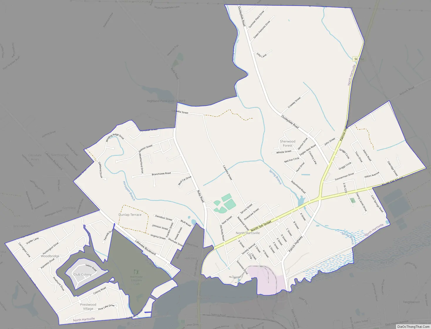
North Hartsville Road Map
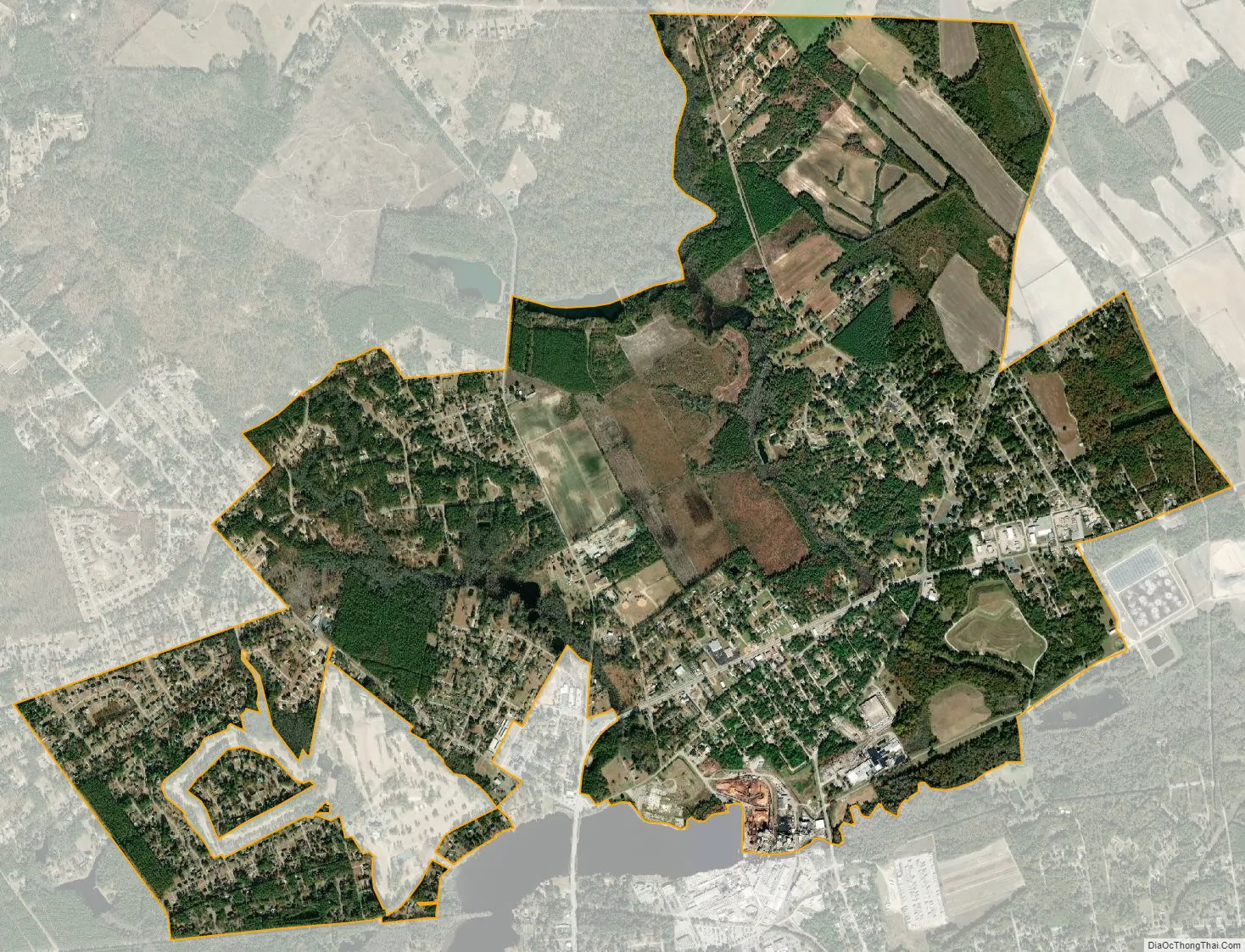
North Hartsville city Satellite Map
Geography
North Hartsville is located in northwestern Darlington County at 34°23′45″N 80°4′13″W / 34.39583°N 80.07028°W / 34.39583; -80.07028 (34.395845, -80.070153). It is bordered to the south, across Prestwood Lake and Black Creek, by Hartsville, the largest city in Darlington County.
Business Route 15 (N. 5th Street) is the main road through the CDP. South Carolina Highway 102 (Patrick Highway) leaves north from Business 15 at the east end of town. Society Hill is 15 miles (24 km) to the northeast via US 15, while Patrick is 14 miles (23 km) to the north via SC 102. Darlington, the county seat, is 15 miles (24 km) to the southeast.
According to the United States Census Bureau, the North Hartsville CDP has a total area of 4.6 square miles (11.8 km), of which 0.004 square miles (0.01 km), or 0.13%, is water.
See also
Map of South Carolina State and its subdivision:- Abbeville
- Aiken
- Allendale
- Anderson
- Bamberg
- Barnwell
- Beaufort
- Berkeley
- Calhoun
- Charleston
- Cherokee
- Chester
- Chesterfield
- Clarendon
- Colleton
- Darlington
- Dillon
- Dorchester
- Edgefield
- Fairfield
- Florence
- Georgetown
- Greenville
- Greenwood
- Hampton
- Horry
- Jasper
- Kershaw
- Lancaster
- Laurens
- Lee
- Lexington
- Marion
- Marlboro
- McCormick
- Newberry
- Oconee
- Orangeburg
- Pickens
- Richland
- Saluda
- Spartanburg
- Sumter
- Union
- Williamsburg
- York
- Alabama
- Alaska
- Arizona
- Arkansas
- California
- Colorado
- Connecticut
- Delaware
- District of Columbia
- Florida
- Georgia
- Hawaii
- Idaho
- Illinois
- Indiana
- Iowa
- Kansas
- Kentucky
- Louisiana
- Maine
- Maryland
- Massachusetts
- Michigan
- Minnesota
- Mississippi
- Missouri
- Montana
- Nebraska
- Nevada
- New Hampshire
- New Jersey
- New Mexico
- New York
- North Carolina
- North Dakota
- Ohio
- Oklahoma
- Oregon
- Pennsylvania
- Rhode Island
- South Carolina
- South Dakota
- Tennessee
- Texas
- Utah
- Vermont
- Virginia
- Washington
- West Virginia
- Wisconsin
- Wyoming