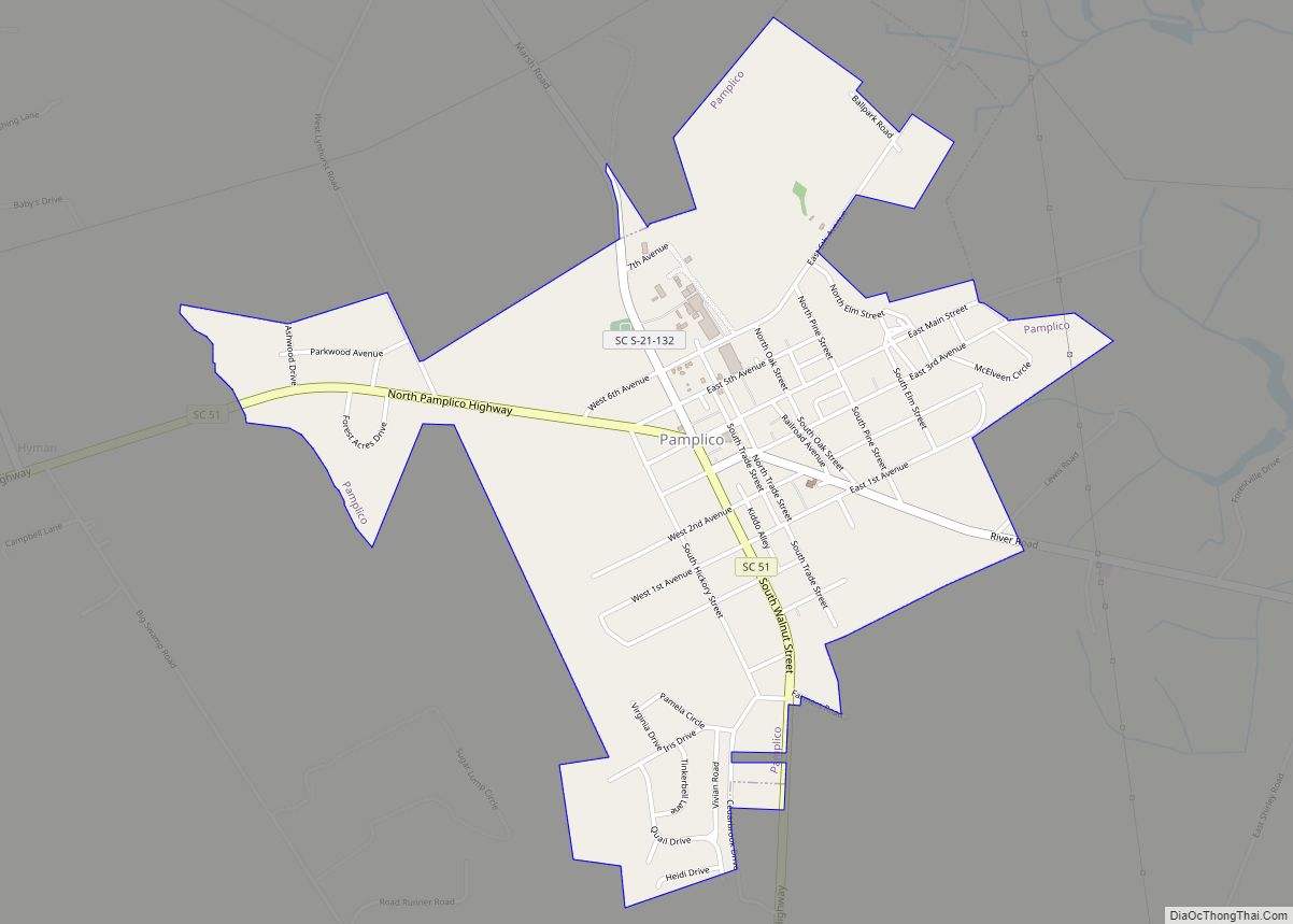
Pamplico is a town in southeastern Florence County, South Carolina, United States. The population was 1,226 at the 2010 census. It is part of the Florence Metropolitan Statistical Area.
| Name: | Pamplico town |
|---|---|
| LSAD Code: | 43 |
| LSAD Description: | town (suffix) |
| State: | South Carolina |
| County: | Florence County |
| Elevation: | 82 ft (25 m) |
| Total Area: | 1.63 sq mi (4.22 km²) |
| Land Area: | 1.62 sq mi (4.20 km²) |
| Water Area: | 0.01 sq mi (0.03 km²) |
| Total Population: | 1,061 |
| Population Density: | 654.94/sq mi (252.91/km²) |
| ZIP code: | 29583 |
| Area code: | 843, 854 |
| FIPS code: | 4554340 |
| GNISfeature ID: | 1231624 |
| Website: | townofpamplico.com |
Online Interactive Map
Click on ![]() to view map in "full screen" mode.
to view map in "full screen" mode.
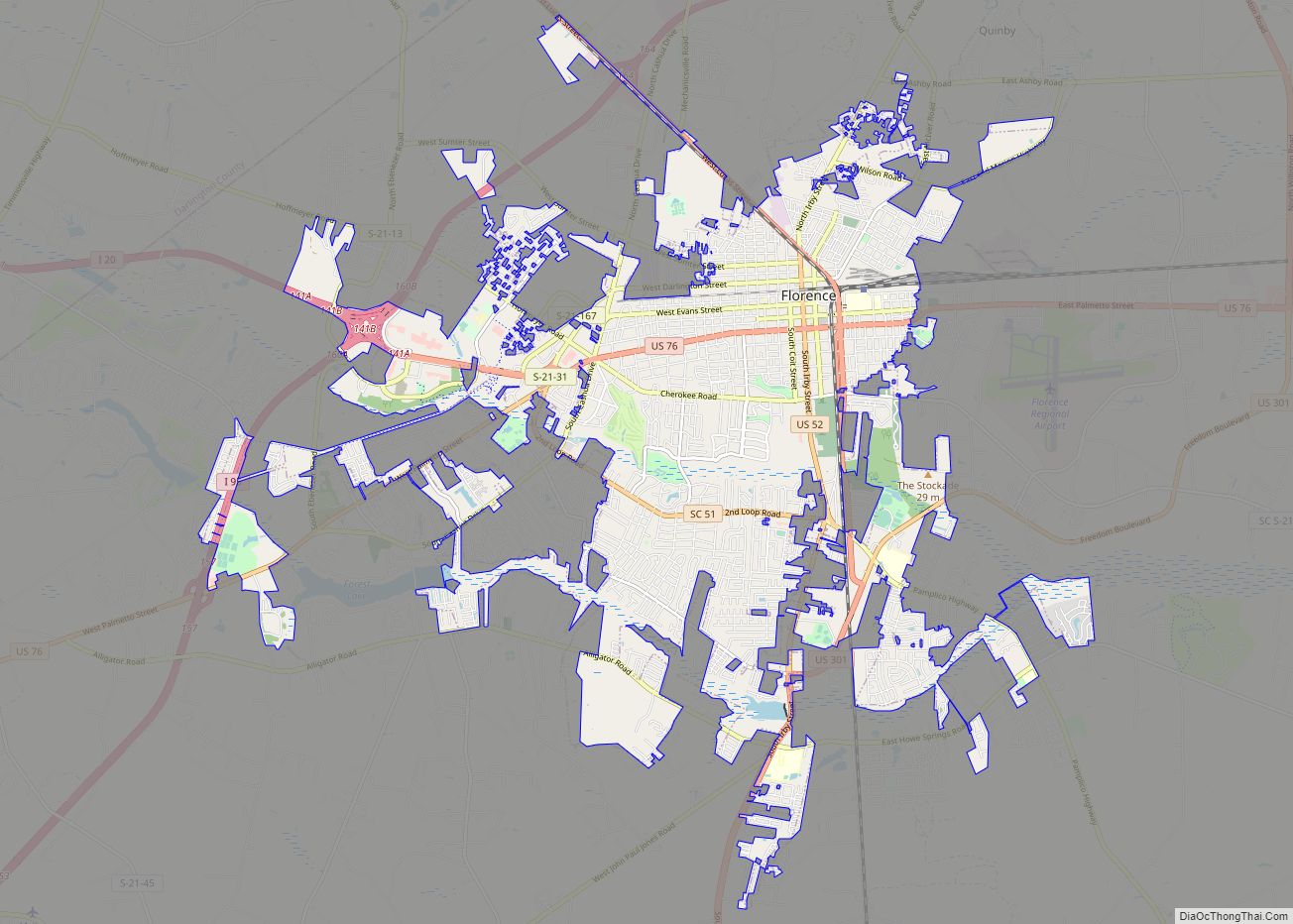
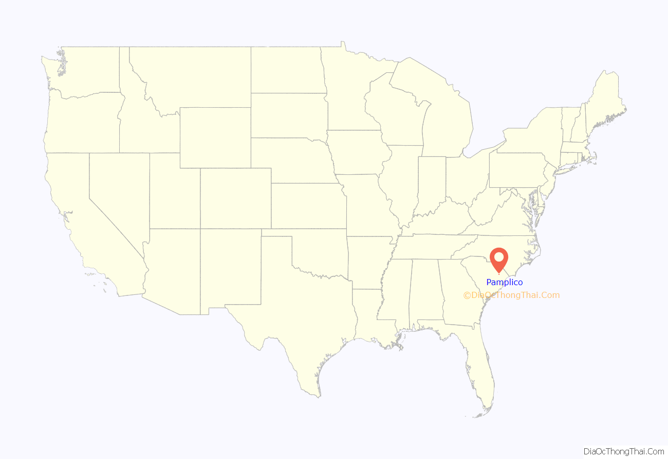
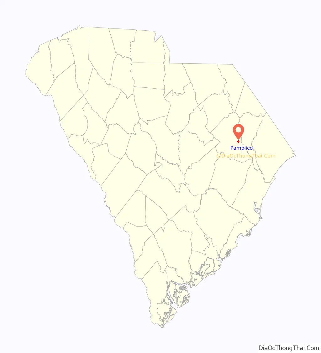
Pamplico location map. Where is Pamplico town?
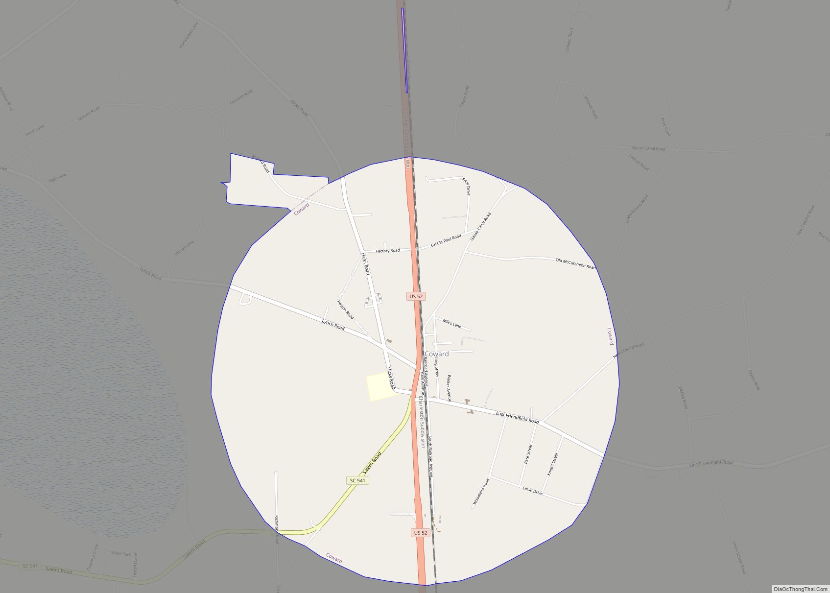
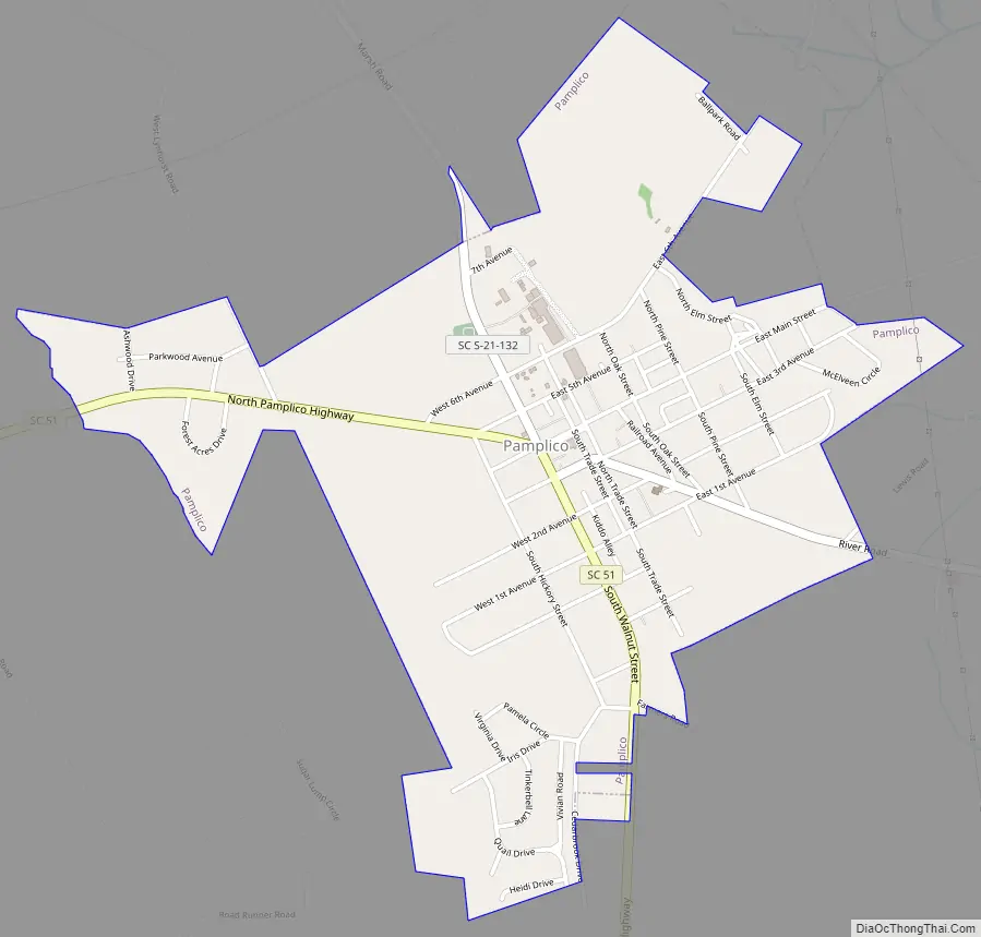
Pamplico Road Map
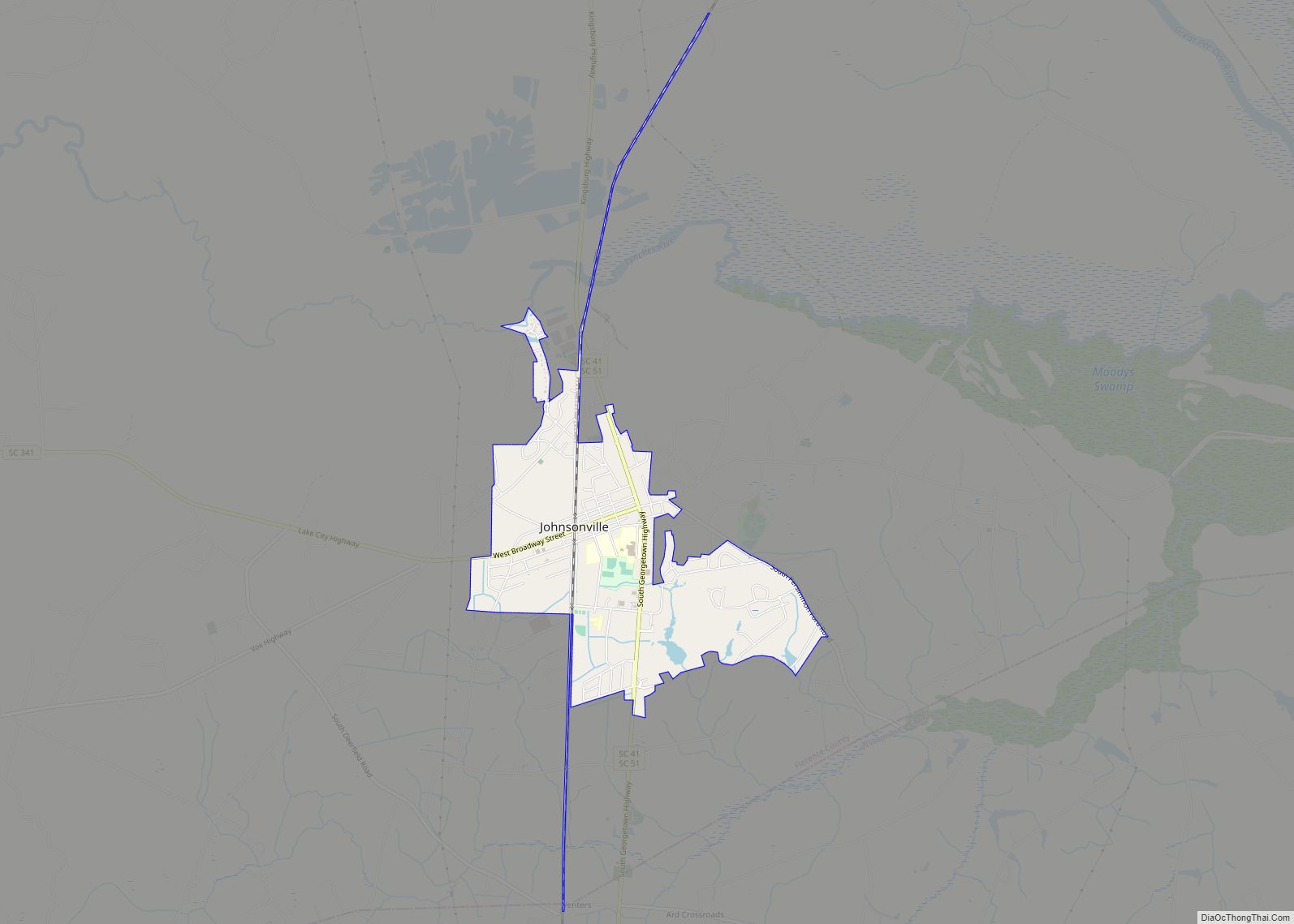
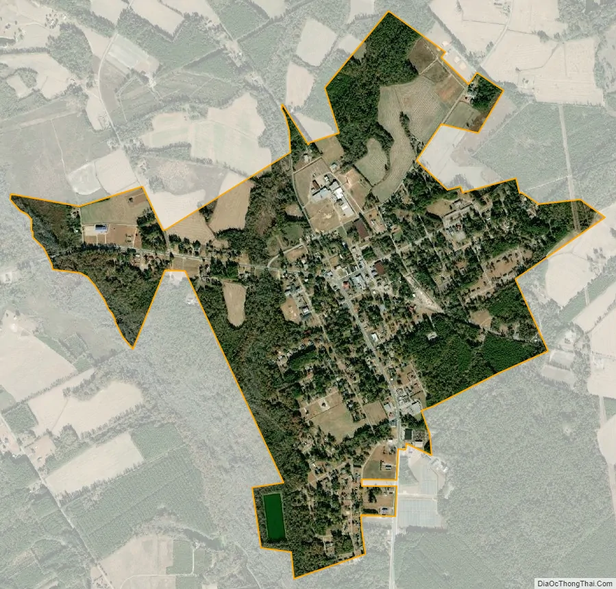
Pamplico city Satellite Map
Geography
Pamplico is located in eastern Florence County at 33°59′46″N 79°34′4″W / 33.99611°N 79.56778°W / 33.99611; -79.56778 (33.996071, -79.567777). It is located 3 miles (5 km) west of the Pee Dee River and 19 miles (31 km) southeast of Florence, the county seat. South Carolina Highway 51, a secondary thoroughfare for traffic to Myrtle Beach, passes through the town center. Myrtle Beach is 51 miles (82 km) to the southeast.
According to the United States Census Bureau, the town has a total area of 1.6 square miles (4.2 km), of which 0.01 square miles (0.03 km), or 0.68%, is water.
See also
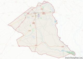
Map of South Carolina State and its subdivision:- Abbeville
- Aiken
- Allendale
- Anderson
- Bamberg
- Barnwell
- Beaufort
- Berkeley
- Calhoun
- Charleston
- Cherokee
- Chester
- Chesterfield
- Clarendon
- Colleton
- Darlington
- Dillon
- Dorchester
- Edgefield
- Fairfield
- Florence
- Georgetown
- Greenville
- Greenwood
- Hampton
- Horry
- Jasper
- Kershaw
- Lancaster
- Laurens
- Lee
- Lexington
- Marion
- Marlboro
- McCormick
- Newberry
- Oconee
- Orangeburg
- Pickens
- Richland
- Saluda
- Spartanburg
- Sumter
- Union
- Williamsburg
- York
- Alabama
- Alaska
- Arizona
- Arkansas
- California
- Colorado
- Connecticut
- Delaware
- District of Columbia
- Florida
- Georgia
- Hawaii
- Idaho
- Illinois
- Indiana
- Iowa
- Kansas
- Kentucky
- Louisiana
- Maine
- Maryland
- Massachusetts
- Michigan
- Minnesota
- Mississippi
- Missouri
- Montana
- Nebraska
- Nevada
- New Hampshire
- New Jersey
- New Mexico
- New York
- North Carolina
- North Dakota
- Ohio
- Oklahoma
- Oregon
- Pennsylvania
- Rhode Island
- South Carolina
- South Dakota
- Tennessee
- Texas
- Utah
- Vermont
- Virginia
- Washington
- West Virginia
- Wisconsin
- Wyoming