Perry is a town in Aiken County, South Carolina, United States. The population was 233 at the 2010 census. It is part of the Augusta, Georgia metropolitan area.
| Name: | Perry town |
|---|---|
| LSAD Code: | 43 |
| LSAD Description: | town (suffix) |
| State: | South Carolina |
| County: | Aiken County |
| Elevation: | 440 ft (134 m) |
| Total Area: | 0.96 sq mi (2.48 km²) |
| Land Area: | 0.96 sq mi (2.48 km²) |
| Water Area: | 0.00 sq mi (0.00 km²) |
| Total Population: | 194 |
| Population Density: | 202.51/sq mi (78.23/km²) |
| ZIP code: | 29137 |
| Area code: | 803, 839 |
| FIPS code: | 4555960 |
| GNISfeature ID: | 1231644 |
Online Interactive Map
Click on ![]() to view map in "full screen" mode.
to view map in "full screen" mode.
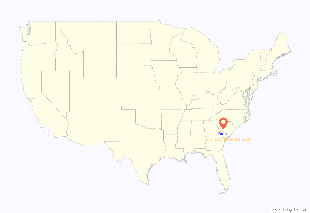
Perry location map. Where is Perry town?
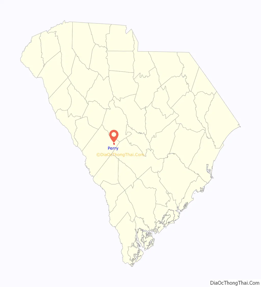
Perry Road Map
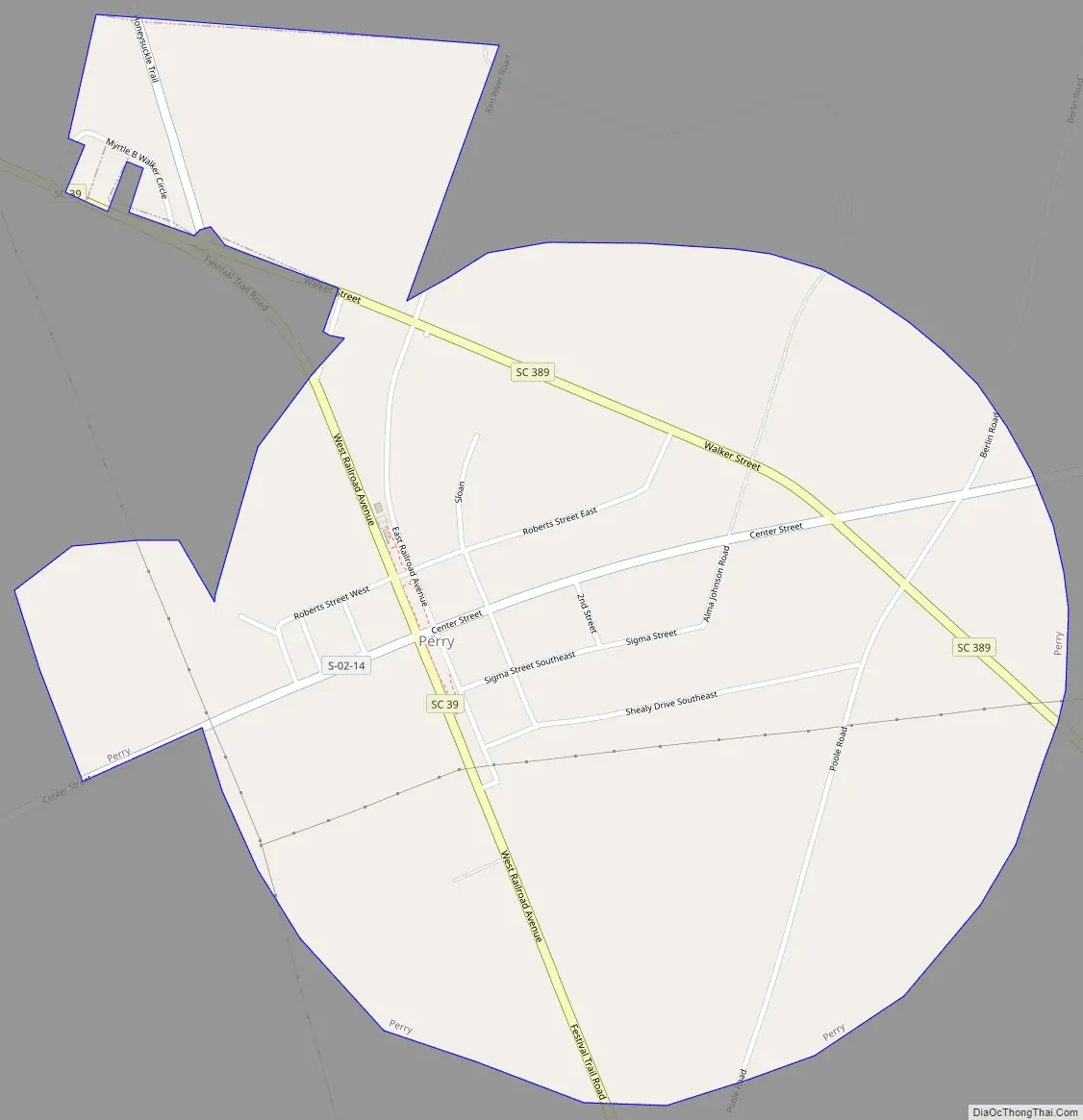
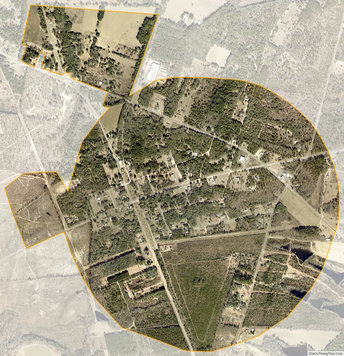
Perry city Satellite Map
Geography
Perry is located at 33°37′40″N 81°18′40″W / 33.62778°N 81.31111°W / 33.62778; -81.31111 (33.627689, -81.311114) in eastern Aiken County. It is 3 miles (5 km) east of the town of Wagener and 27 miles (43 km) east of the city of Aiken, the county seat. The town of Salley is 4 miles (6 km) to the south. A place called the Indian Head (springs) located just east of Pry on the Old Indian Trail. Site of an ancient Native American and colonial activity. It was on the Richard Davis tract of 1767.
According to the United States Census Bureau, the town has a total area of 1.2 square miles (3.0 km), all land.
See also
Map of South Carolina State and its subdivision:- Abbeville
- Aiken
- Allendale
- Anderson
- Bamberg
- Barnwell
- Beaufort
- Berkeley
- Calhoun
- Charleston
- Cherokee
- Chester
- Chesterfield
- Clarendon
- Colleton
- Darlington
- Dillon
- Dorchester
- Edgefield
- Fairfield
- Florence
- Georgetown
- Greenville
- Greenwood
- Hampton
- Horry
- Jasper
- Kershaw
- Lancaster
- Laurens
- Lee
- Lexington
- Marion
- Marlboro
- McCormick
- Newberry
- Oconee
- Orangeburg
- Pickens
- Richland
- Saluda
- Spartanburg
- Sumter
- Union
- Williamsburg
- York
- Alabama
- Alaska
- Arizona
- Arkansas
- California
- Colorado
- Connecticut
- Delaware
- District of Columbia
- Florida
- Georgia
- Hawaii
- Idaho
- Illinois
- Indiana
- Iowa
- Kansas
- Kentucky
- Louisiana
- Maine
- Maryland
- Massachusetts
- Michigan
- Minnesota
- Mississippi
- Missouri
- Montana
- Nebraska
- Nevada
- New Hampshire
- New Jersey
- New Mexico
- New York
- North Carolina
- North Dakota
- Ohio
- Oklahoma
- Oregon
- Pennsylvania
- Rhode Island
- South Carolina
- South Dakota
- Tennessee
- Texas
- Utah
- Vermont
- Virginia
- Washington
- West Virginia
- Wisconsin
- Wyoming