Rembert is a town in Sumter County, South Carolina, United States. The population was 306 at the 2010 census, a decline from 406 in 2000. It is included in the Sumter, South Carolina Metropolitan Statistical Area.
| Name: | Rembert CDP |
|---|---|
| LSAD Code: | 57 |
| LSAD Description: | CDP (suffix) |
| State: | South Carolina |
| County: | Sumter County |
| Elevation: | 220 ft (67 m) |
| Total Area: | 3.84 sq mi (9.94 km²) |
| Land Area: | 3.84 sq mi (9.94 km²) |
| Water Area: | 0.00 sq mi (0.00 km²) |
| Total Population: | 246 |
| Population Density: | 64.13/sq mi (24.76/km²) |
| ZIP code: | 29128 |
| Area code: | 803 and 839 |
| FIPS code: | 4559470 |
| GNISfeature ID: | 1231717 |
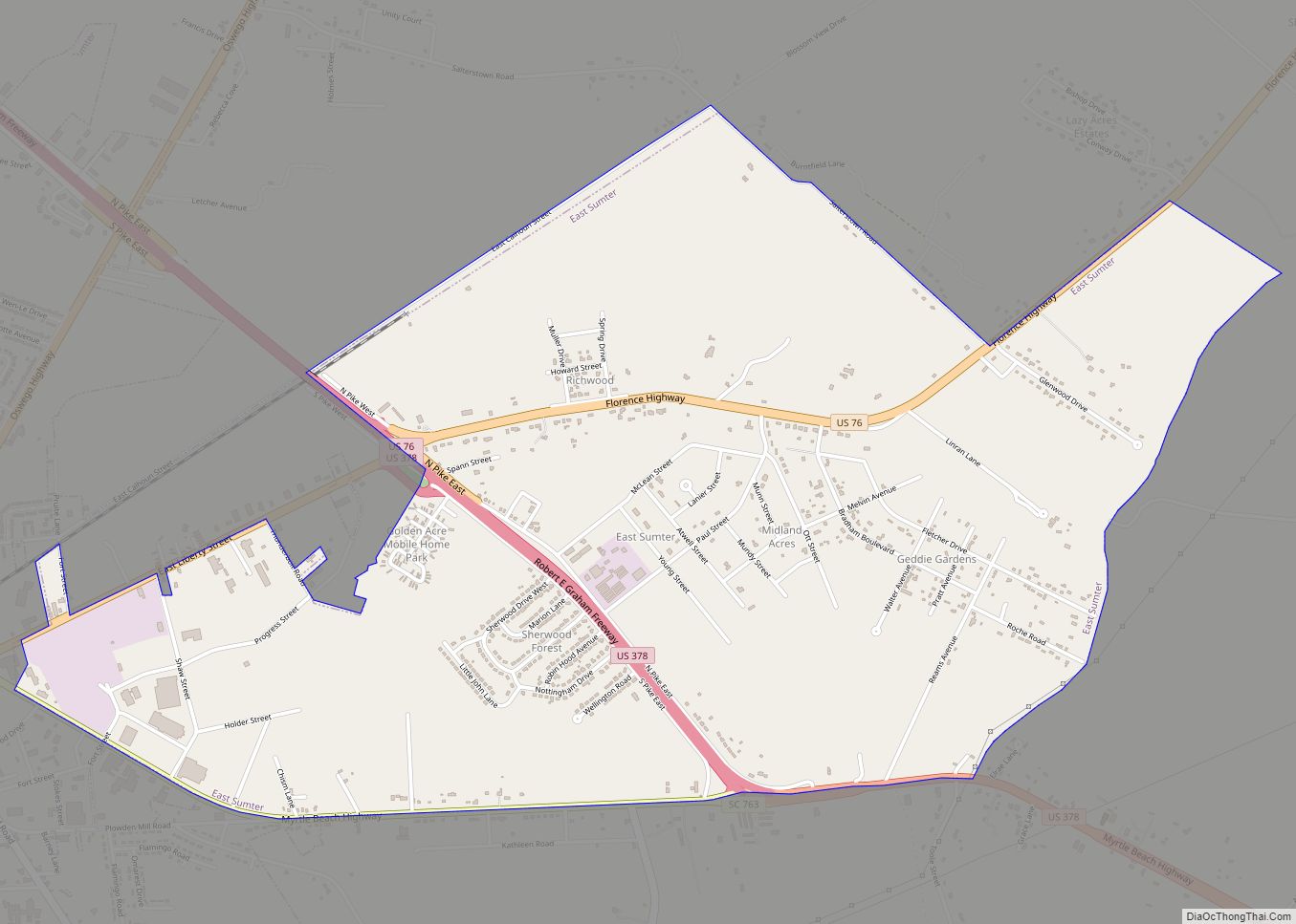
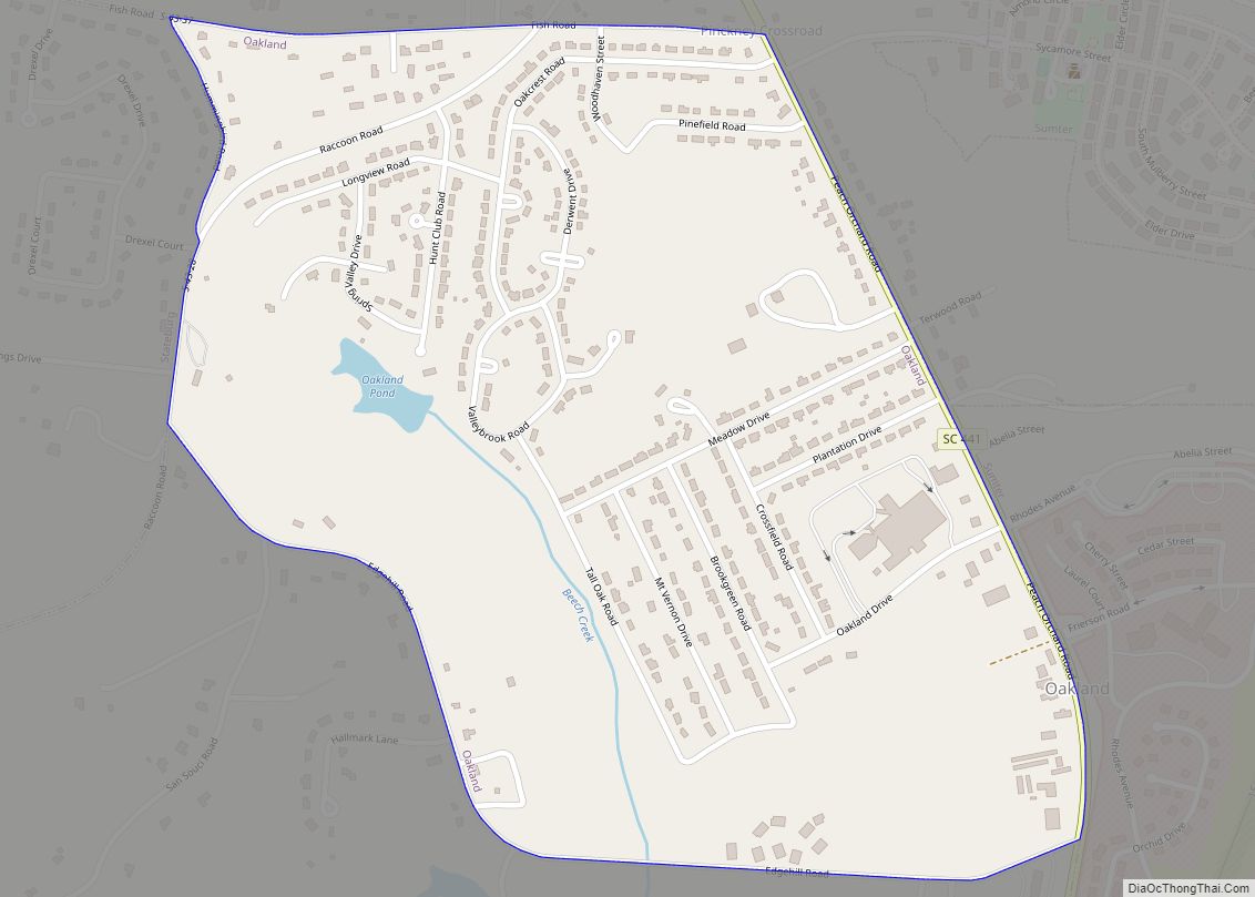
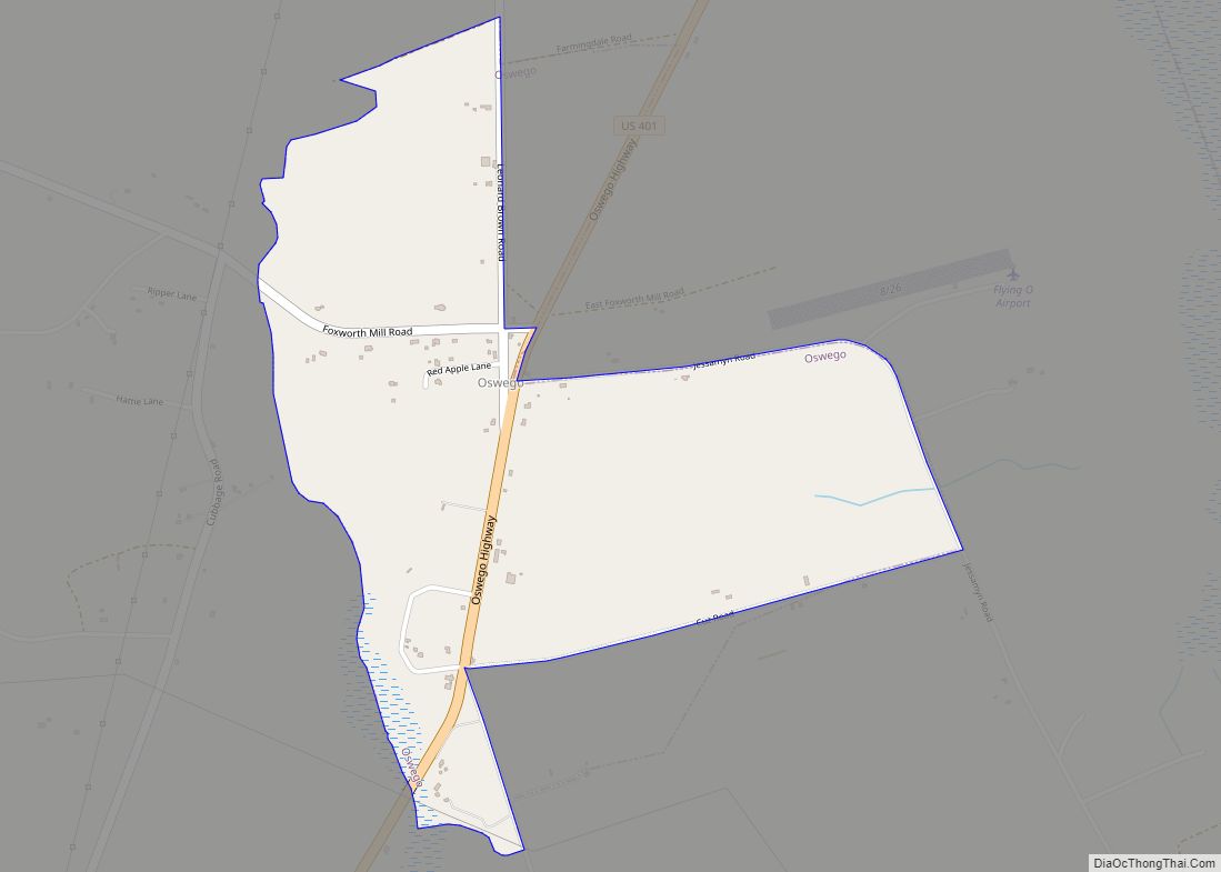
Online Interactive Map
Click on ![]() to view map in "full screen" mode.
to view map in "full screen" mode.
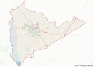
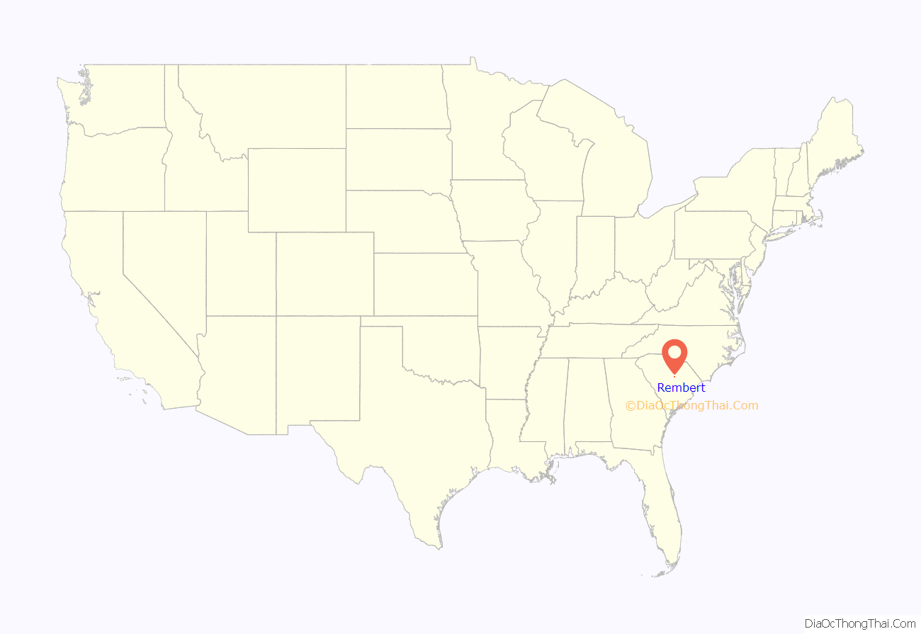
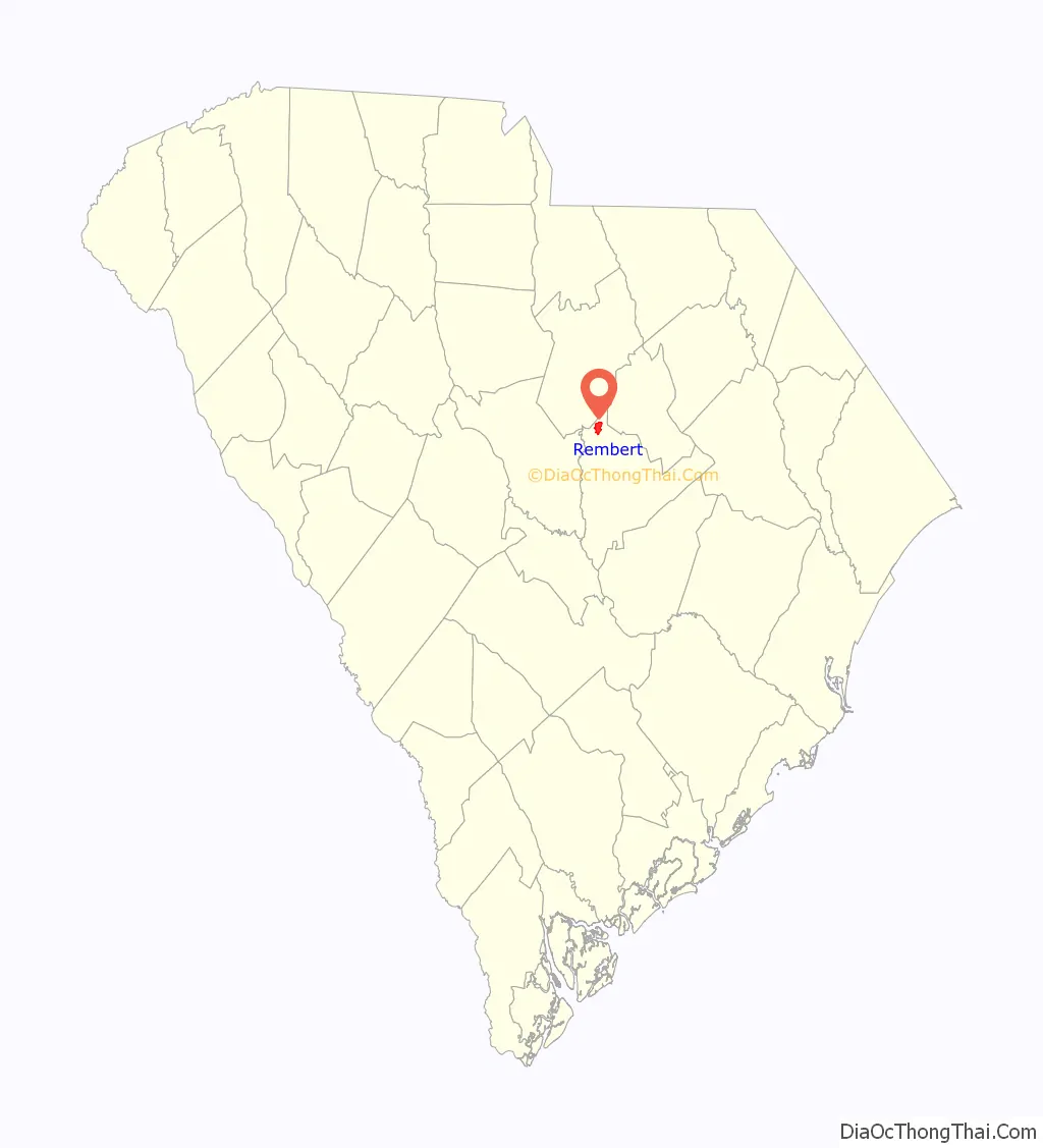
Rembert location map. Where is Rembert CDP?
History
Ellerbe’s Mill was listed on the National Register of Historic Places in 1974.
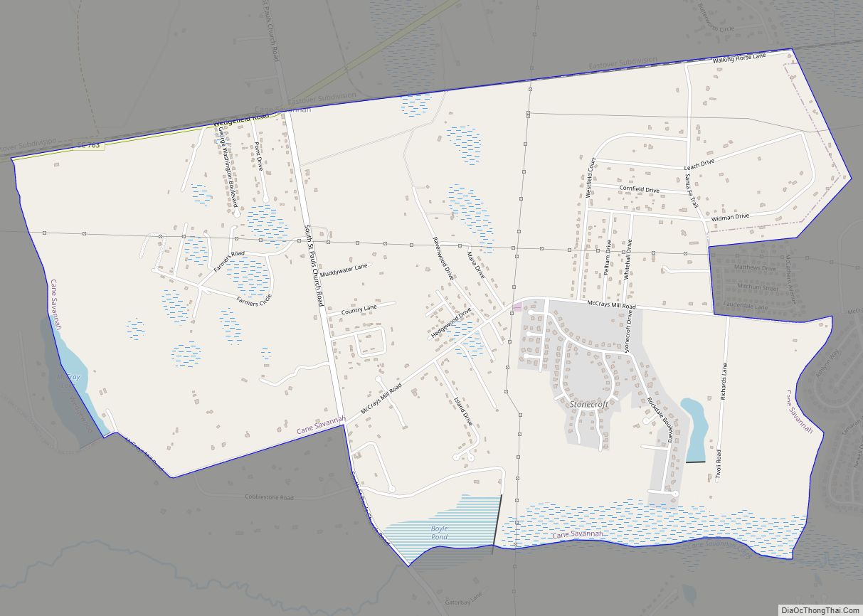
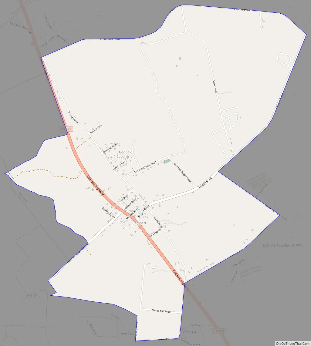
Rembert Road Map
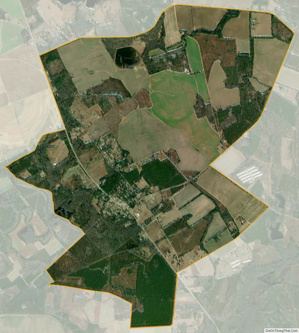
Rembert city Satellite Map
Geography
Rembert is located at 34°06′02″N 80°31′51″W / 34.100532°N 80.530842°W / 34.100532; -80.530842.
According to the United States Census Bureau, the CDP has a total area of 4.4 square miles (11.4 km), all land. It is named after Huguenot Frenchman, Andre Rembert (1661-1736), immigrant to South Carolina.
See also
Map of South Carolina State and its subdivision:- Abbeville
- Aiken
- Allendale
- Anderson
- Bamberg
- Barnwell
- Beaufort
- Berkeley
- Calhoun
- Charleston
- Cherokee
- Chester
- Chesterfield
- Clarendon
- Colleton
- Darlington
- Dillon
- Dorchester
- Edgefield
- Fairfield
- Florence
- Georgetown
- Greenville
- Greenwood
- Hampton
- Horry
- Jasper
- Kershaw
- Lancaster
- Laurens
- Lee
- Lexington
- Marion
- Marlboro
- McCormick
- Newberry
- Oconee
- Orangeburg
- Pickens
- Richland
- Saluda
- Spartanburg
- Sumter
- Union
- Williamsburg
- York
- Alabama
- Alaska
- Arizona
- Arkansas
- California
- Colorado
- Connecticut
- Delaware
- District of Columbia
- Florida
- Georgia
- Hawaii
- Idaho
- Illinois
- Indiana
- Iowa
- Kansas
- Kentucky
- Louisiana
- Maine
- Maryland
- Massachusetts
- Michigan
- Minnesota
- Mississippi
- Missouri
- Montana
- Nebraska
- Nevada
- New Hampshire
- New Jersey
- New Mexico
- New York
- North Carolina
- North Dakota
- Ohio
- Oklahoma
- Oregon
- Pennsylvania
- Rhode Island
- South Carolina
- South Dakota
- Tennessee
- Texas
- Utah
- Vermont
- Virginia
- Washington
- West Virginia
- Wisconsin
- Wyoming