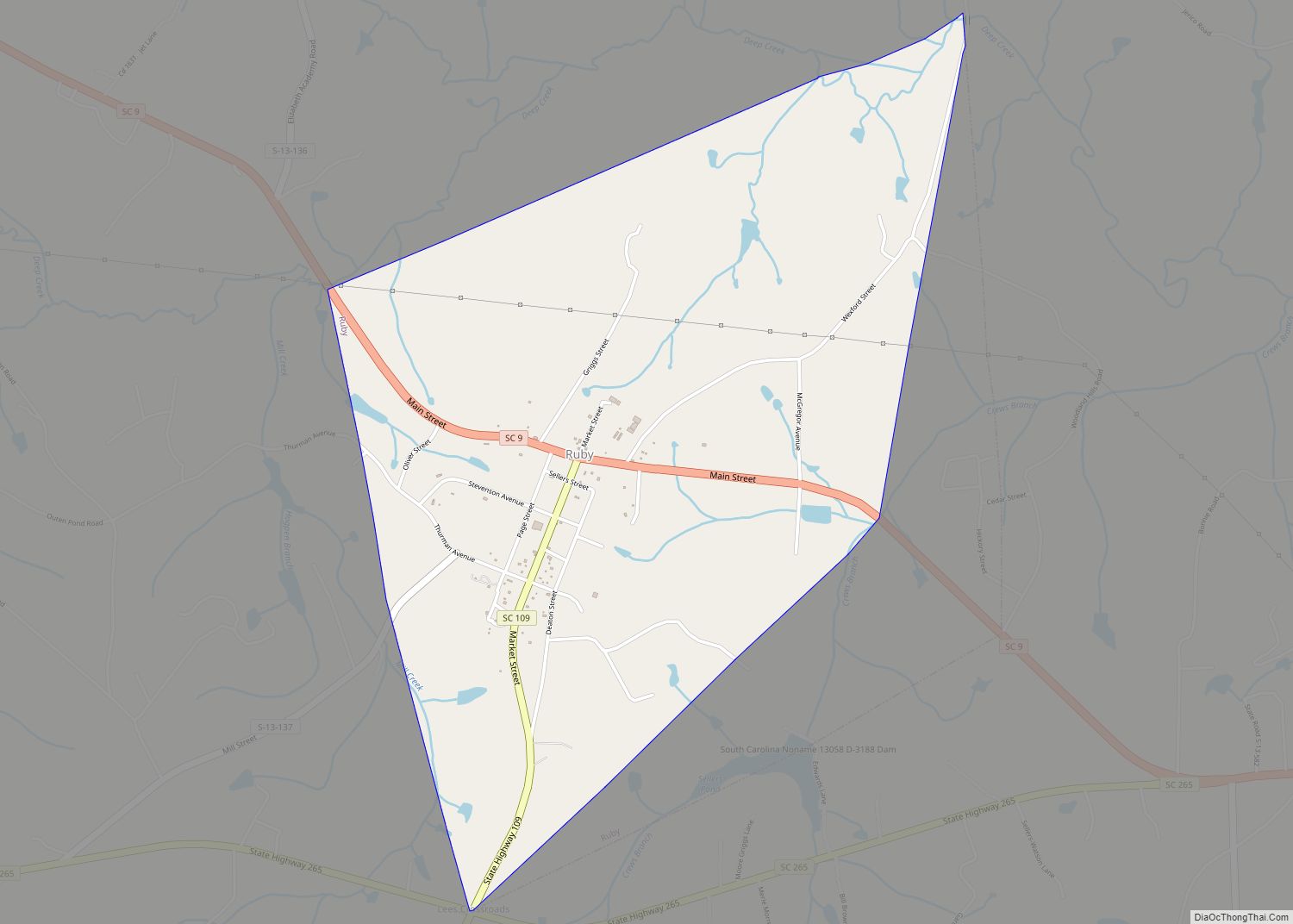
Ruby is a town in Chesterfield County, South Carolina, United States. The population was 360 at the 2010 census.
| Name: | Ruby town |
|---|---|
| LSAD Code: | 43 |
| LSAD Description: | town (suffix) |
| State: | South Carolina |
| County: | Chesterfield County |
| Elevation: | 387 ft (118 m) |
| Total Area: | 2.47 sq mi (6.40 km²) |
| Land Area: | 2.47 sq mi (6.40 km²) |
| Water Area: | 0.00 sq mi (0.00 km²) |
| Total Population: | 307 |
| Population Density: | 124.34/sq mi (48.01/km²) |
| ZIP code: | 29741 |
| Area code: | 843, 854 |
| FIPS code: | 4562080 |
| GNISfeature ID: | 1250482 |
Online Interactive Map
Click on ![]() to view map in "full screen" mode.
to view map in "full screen" mode.
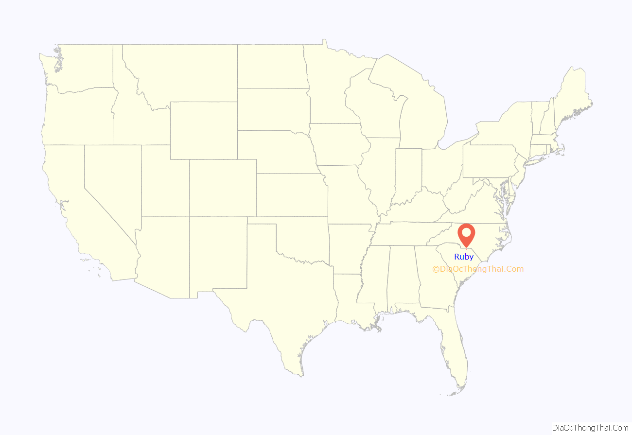
Ruby location map. Where is Ruby town?
History
Originally named “Flint Hill”, Ruby was first settled in 1875. As with other nearby towns, it didn’t develop until the railroad was constructed through town. The Cheraw & Lancaster Railroad arrived in 1902, and Ruby incorporated the same year.
Ruby has annual celebrations: the Jewel City Jubilee and the Fourth of July Parade and Fireworks.
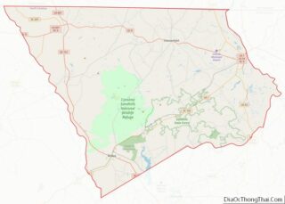
Ruby Road Map
Ruby city Satellite Map
Geography
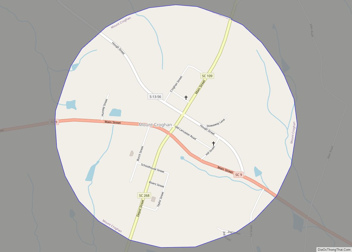
Ruby is located in northern Chesterfield County at 34°44′44″N 80°10′33″W / 34.74556°N 80.17583°W / 34.74556; -80.17583 (34.745626, -80.175903). South Carolina Highway 9 passes through the town, leading east 6 miles (10 km) to Chesterfield, the county seat, and northwest 3 miles (5 km) to Mount Croghan. South Carolina Highway 109 travels west with SC 9 to Mount Croghan and goes south from Ruby 8 miles (13 km) to its terminus at Campbell Crossroads.
According to the United States Census Bureau, Ruby has a total area of 2.5 square miles (6.4 km), all land.
See also
Map of South Carolina State and its subdivision:- Abbeville
- Aiken
- Allendale
- Anderson
- Bamberg
- Barnwell
- Beaufort
- Berkeley
- Calhoun
- Charleston
- Cherokee
- Chester
- Chesterfield
- Clarendon
- Colleton
- Darlington
- Dillon
- Dorchester
- Edgefield
- Fairfield
- Florence
- Georgetown
- Greenville
- Greenwood
- Hampton
- Horry
- Jasper
- Kershaw
- Lancaster
- Laurens
- Lee
- Lexington
- Marion
- Marlboro
- McCormick
- Newberry
- Oconee
- Orangeburg
- Pickens
- Richland
- Saluda
- Spartanburg
- Sumter
- Union
- Williamsburg
- York
- Alabama
- Alaska
- Arizona
- Arkansas
- California
- Colorado
- Connecticut
- Delaware
- District of Columbia
- Florida
- Georgia
- Hawaii
- Idaho
- Illinois
- Indiana
- Iowa
- Kansas
- Kentucky
- Louisiana
- Maine
- Maryland
- Massachusetts
- Michigan
- Minnesota
- Mississippi
- Missouri
- Montana
- Nebraska
- Nevada
- New Hampshire
- New Jersey
- New Mexico
- New York
- North Carolina
- North Dakota
- Ohio
- Oklahoma
- Oregon
- Pennsylvania
- Rhode Island
- South Carolina
- South Dakota
- Tennessee
- Texas
- Utah
- Vermont
- Virginia
- Washington
- West Virginia
- Wisconsin
- Wyoming
