Jefferson is a town in western Chesterfield County, South Carolina, United States at the junction of SC routes 265 and 151. Jefferson is located in the Piedmont region of South Carolina just in the edge meeting the Sandhills region. Jefferson is located 16 miles northwest of McBee, 8 miles south of Pageland, 50 miles southeast of Charlotte, North Carolina, and 70 miles north-northeast of the state capitol Columbia. As of the 2010 census, the city population was 753.
| Name: | Jefferson town |
|---|---|
| LSAD Code: | 43 |
| LSAD Description: | town (suffix) |
| State: | South Carolina |
| County: | Chesterfield County |
| Incorporated: | 1904 |
| Elevation: | 476 ft (145 m) |
| Total Area: | 1.81 sq mi (4.68 km²) |
| Land Area: | 1.80 sq mi (4.67 km²) |
| Water Area: | 0.01 sq mi (0.01 km²) |
| Total Population: | 772 |
| Population Density: | 428.41/sq mi (165.40/km²) |
| ZIP code: | 29718 |
| Area code: | 843, 854 |
| FIPS code: | 4536610 |
| GNISfeature ID: | 1223522 |
| Website: | http://www.seejeffersonsc.com |
Online Interactive Map
Click on ![]() to view map in "full screen" mode.
to view map in "full screen" mode.
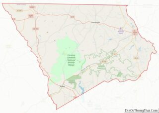
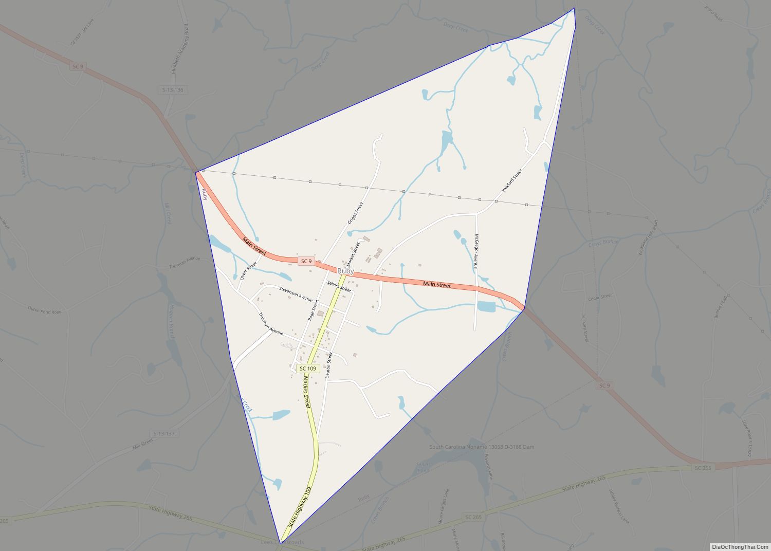
Jefferson location map. Where is Jefferson town?


History
Jefferson was incorporated in 1904. Jefferson was founded in the 1760 by the Miller Family, and was named Millersville. You can find many Millers buried at the Miller family cemetery on main street.
On April 14 2020, a local turkey farm reported a case of Influenza A virus subtype H7N3 which resulted in the euthaniztion of 32,000 turkeys.
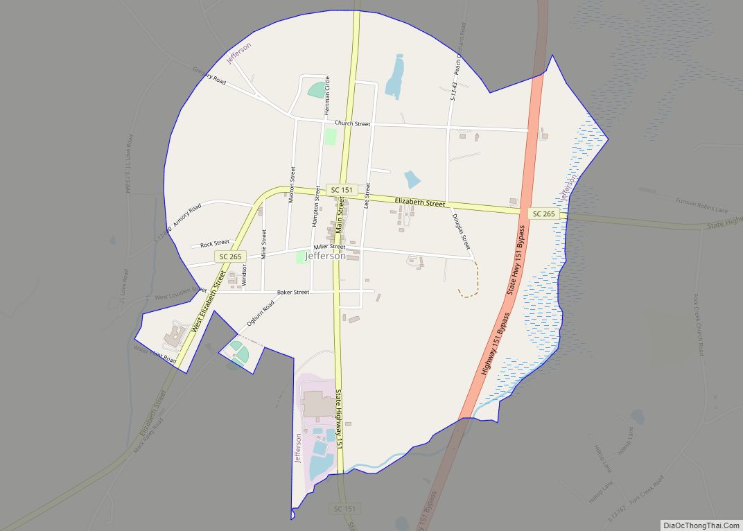
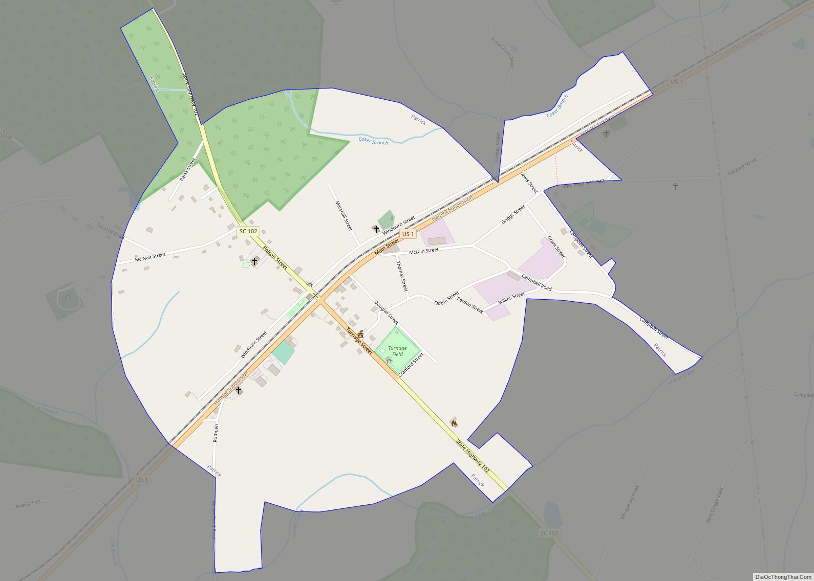
Jefferson Road Map

Jefferson city Satellite Map

Geography
Jefferson is located at 34°39′6″N 80°23′22″W / 34.65167°N 80.38944°W / 34.65167; -80.38944 (34.651550, -80.389484). According to the United States Census Bureau, the town has a total area of 1.8 square miles (4.7 km), of which 1.8 square miles (4.7 km) is land and 0.56% is water.
Neighboring towns
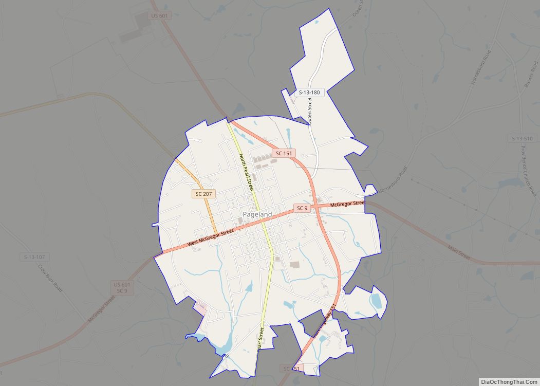
- Pageland, South Carolina – North
- Waxhaw, North Carolina – Northwest
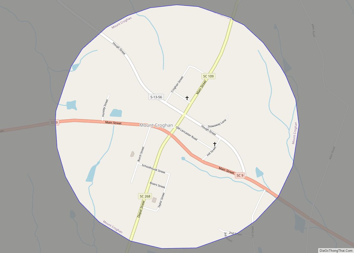
- Mount Croghan, South Carolina – Northeast
- Chesterfield, South Carolina – East
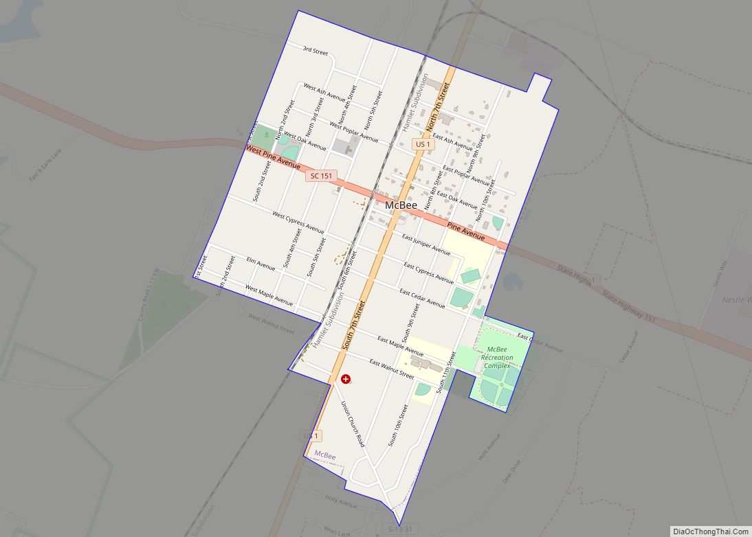
- McBee, South Carolina – Southeast
- Bethune, South Carolina – South
- Kershaw, South Carolina – Southwest
- Lancaster, South Carolina – West
Brewer Gold Mine
The Brewer Gold Mine is an abandoned mine located on the western border of Chesterfield County, about 1.5 miles due west of the town of Jefferson, South Carolina. Brewer Gold Company owns approximately 1,000 acres of land along a small north-south ridgeline that divides Little Fork Creek and the Lynches River. About one-quarter of the 1,000 acres has been disturbed by mining operations. Brewer Gold Mine was one of the oldest and most productive gold mines in the eastern United States.
Activities at Brewer are rumored to date to the 16th century involving Indian trade with the Spaniards. Before the Revolutionary War, the area was mined for iron. The first documented discovery of gold took place by Burrell Brewer in 1828. Brewer Gold Company, a subsidiary owned by the British Costain Limited Group (Costain), secured ownership of the mine in 1986, with the first gold production occurring in August 1987. Ore was mined using conventional open pit methods until January 1995. Rock was first fractured using drilling and blasting, and then loaded into trucks. Waste rock was used as fill for facility construction or hauled to a disposal area to the south of the Brewer Pit. Ore was hauled to the crushing area where processing for the cyanide heap-leach method began. The crushed ore was then placed on pads and a dilute cyanide solution was sprayed over the heaps and allowed to percolate through the ore, thereby dissolving the gold into solution.
See also
Map of South Carolina State and its subdivision:- Abbeville
- Aiken
- Allendale
- Anderson
- Bamberg
- Barnwell
- Beaufort
- Berkeley
- Calhoun
- Charleston
- Cherokee
- Chester
- Chesterfield
- Clarendon
- Colleton
- Darlington
- Dillon
- Dorchester
- Edgefield
- Fairfield
- Florence
- Georgetown
- Greenville
- Greenwood
- Hampton
- Horry
- Jasper
- Kershaw
- Lancaster
- Laurens
- Lee
- Lexington
- Marion
- Marlboro
- McCormick
- Newberry
- Oconee
- Orangeburg
- Pickens
- Richland
- Saluda
- Spartanburg
- Sumter
- Union
- Williamsburg
- York
- Alabama
- Alaska
- Arizona
- Arkansas
- California
- Colorado
- Connecticut
- Delaware
- District of Columbia
- Florida
- Georgia
- Hawaii
- Idaho
- Illinois
- Indiana
- Iowa
- Kansas
- Kentucky
- Louisiana
- Maine
- Maryland
- Massachusetts
- Michigan
- Minnesota
- Mississippi
- Missouri
- Montana
- Nebraska
- Nevada
- New Hampshire
- New Jersey
- New Mexico
- New York
- North Carolina
- North Dakota
- Ohio
- Oklahoma
- Oregon
- Pennsylvania
- Rhode Island
- South Carolina
- South Dakota
- Tennessee
- Texas
- Utah
- Vermont
- Virginia
- Washington
- West Virginia
- Wisconsin
- Wyoming