Salley is a town in Aiken County, South Carolina, United States. The population was 398 at the 2010 census. It is part of the Augusta, Georgia metropolitan area. Salley is known for hosting the Chitlin Strut, a town-wide festival, every November.
| Name: | Salley town |
|---|---|
| LSAD Code: | 43 |
| LSAD Description: | town (suffix) |
| State: | South Carolina |
| County: | Aiken County |
| Elevation: | 374 ft (114 m) |
| Total Area: | 0.78 sq mi (2.01 km²) |
| Land Area: | 0.77 sq mi (1.98 km²) |
| Water Area: | 0.01 sq mi (0.03 km²) |
| Total Population: | 329 |
| Population Density: | 429.50/sq mi (165.92/km²) |
| ZIP code: | 29137 |
| Area code: | 803, 839 |
| FIPS code: | 4563115 |
| GNISfeature ID: | 1250735 |
| Website: | www.facebook.com/townofsalley/ |
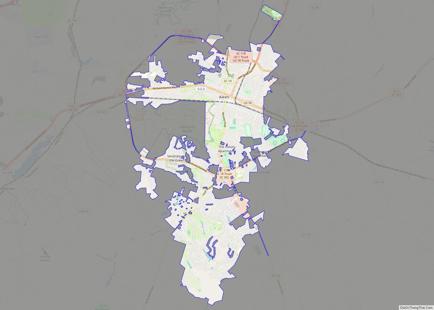
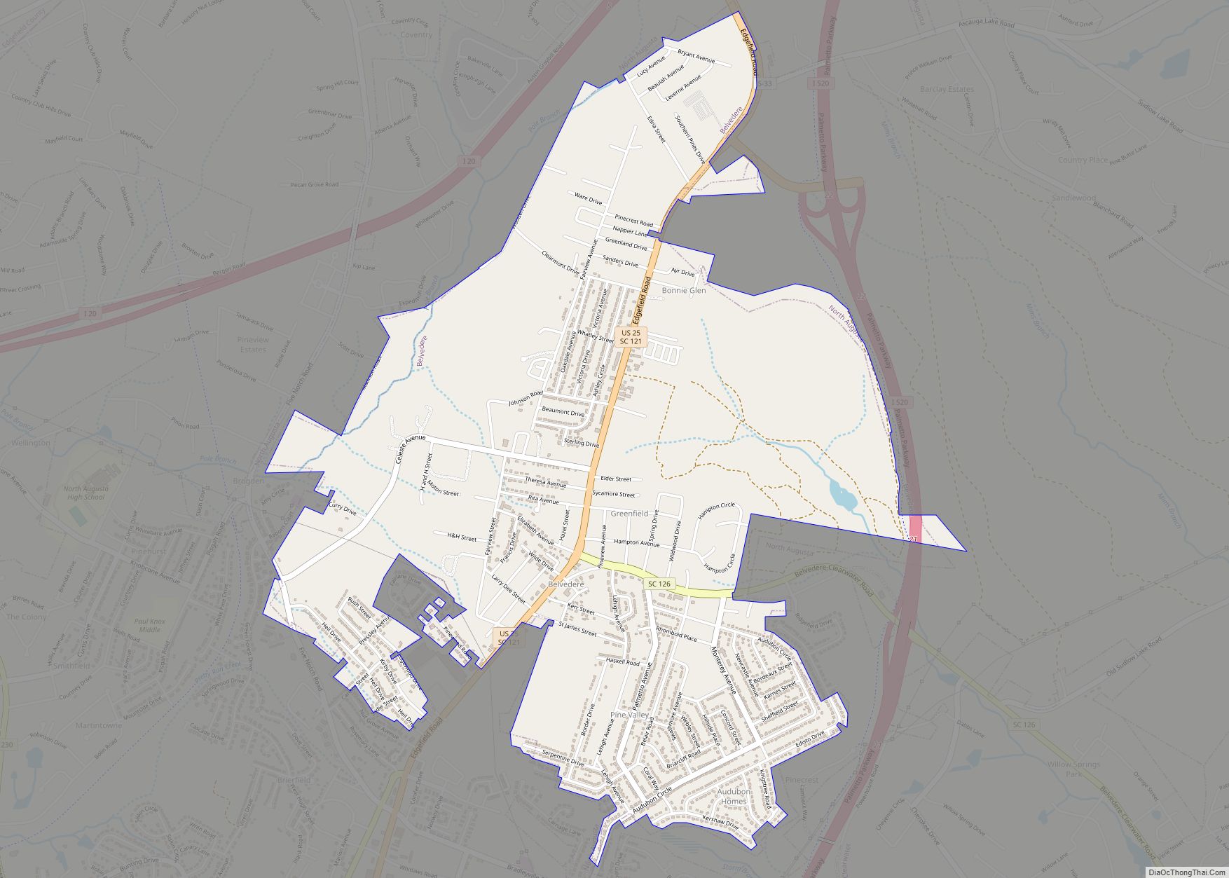
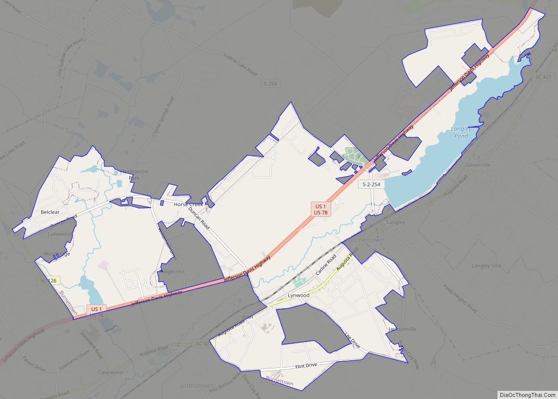
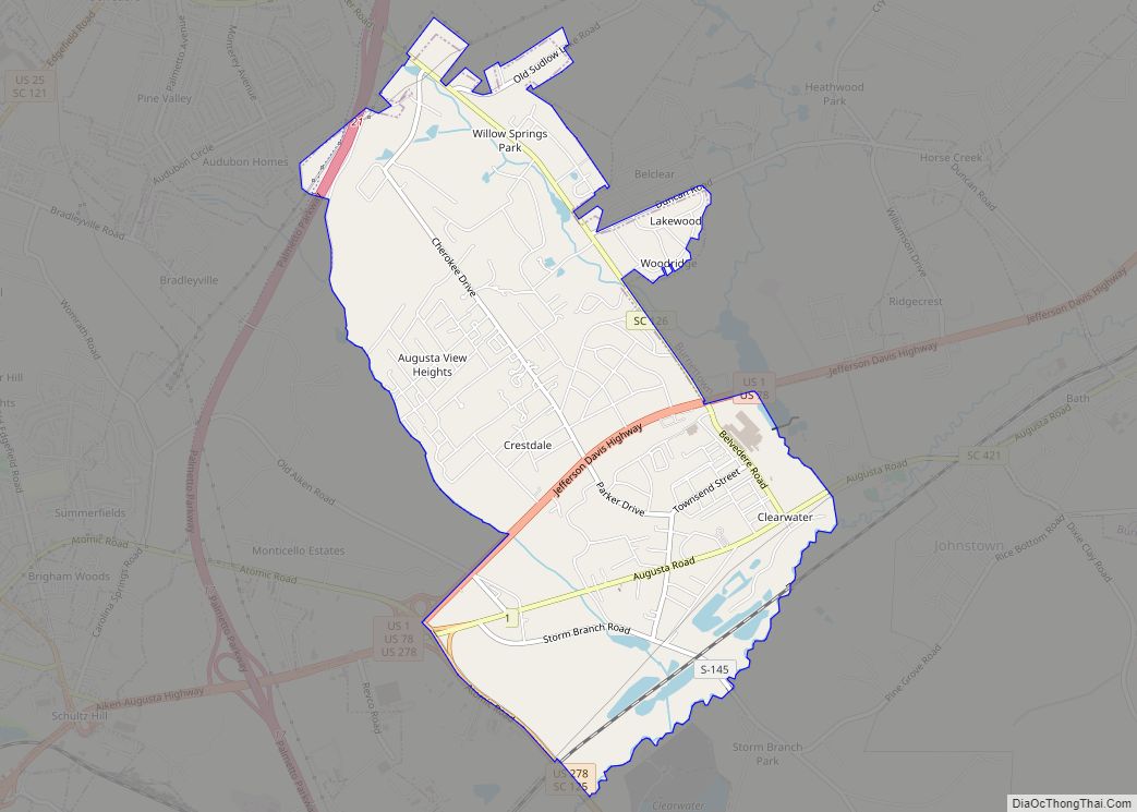
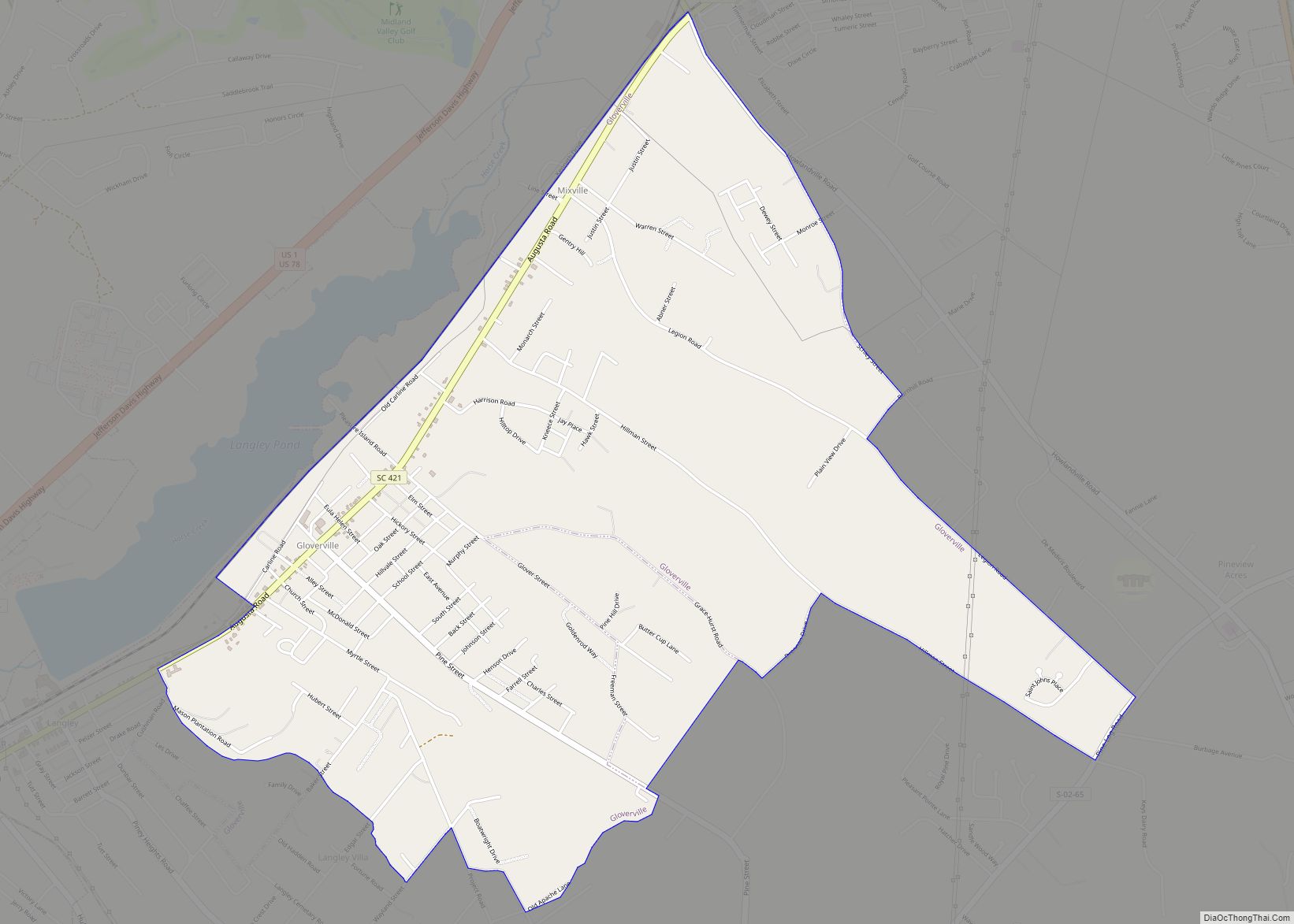
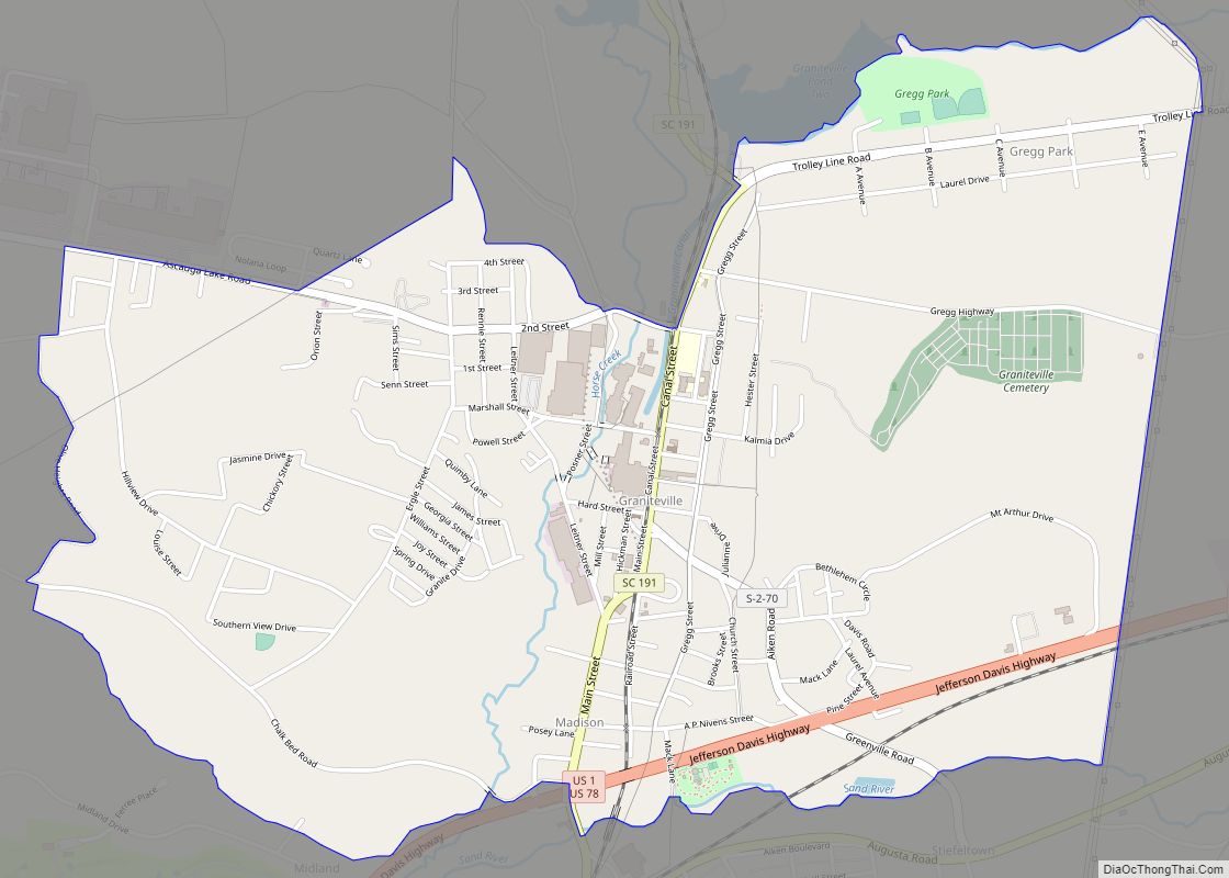
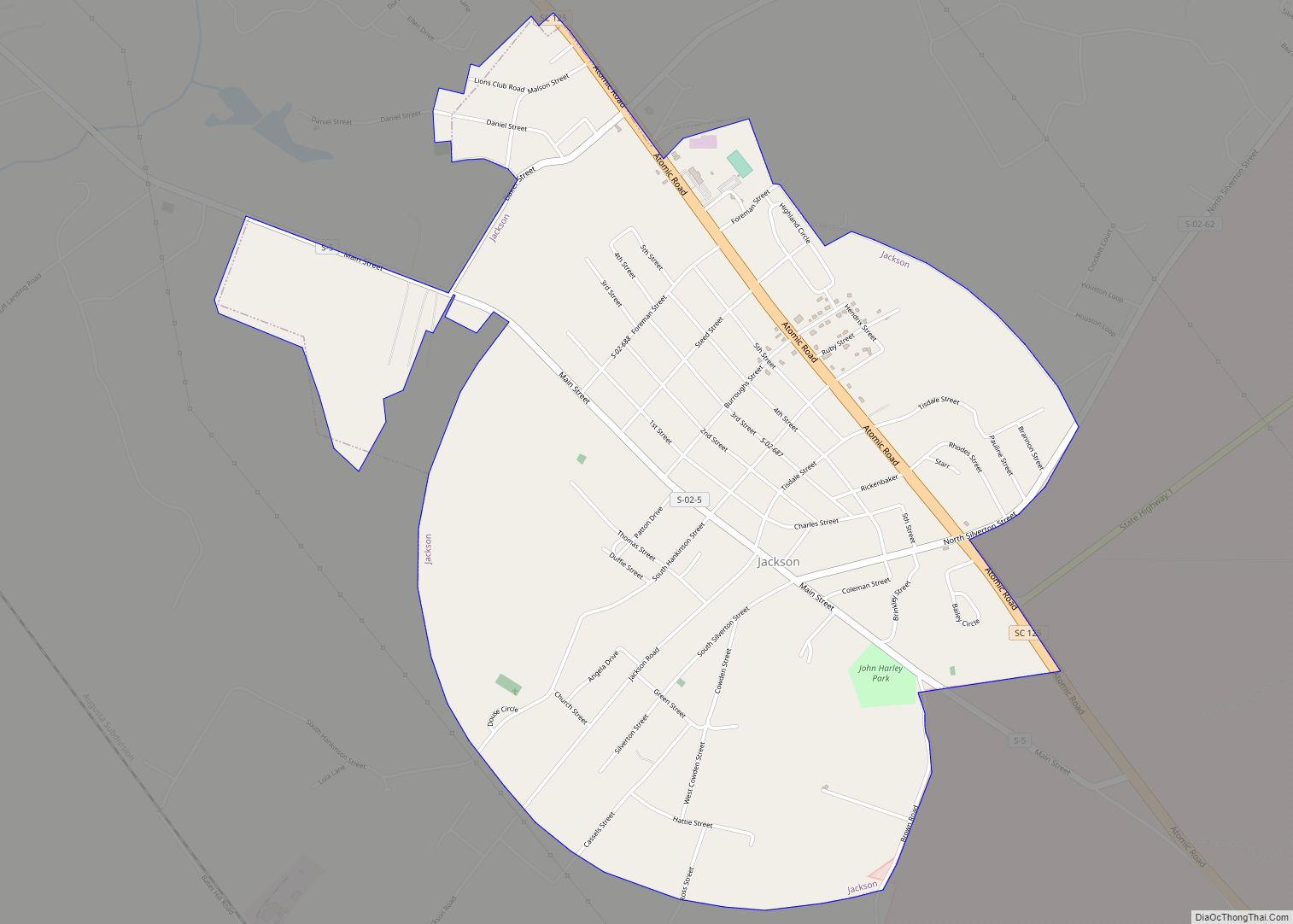
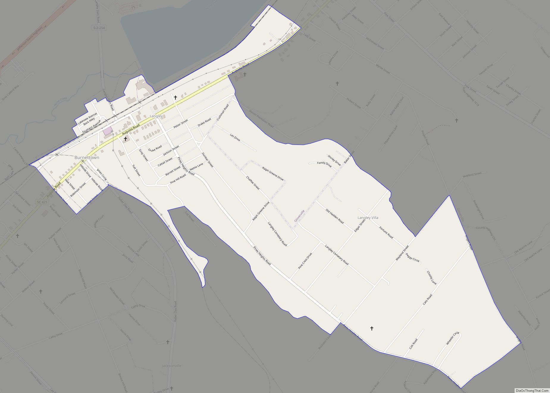
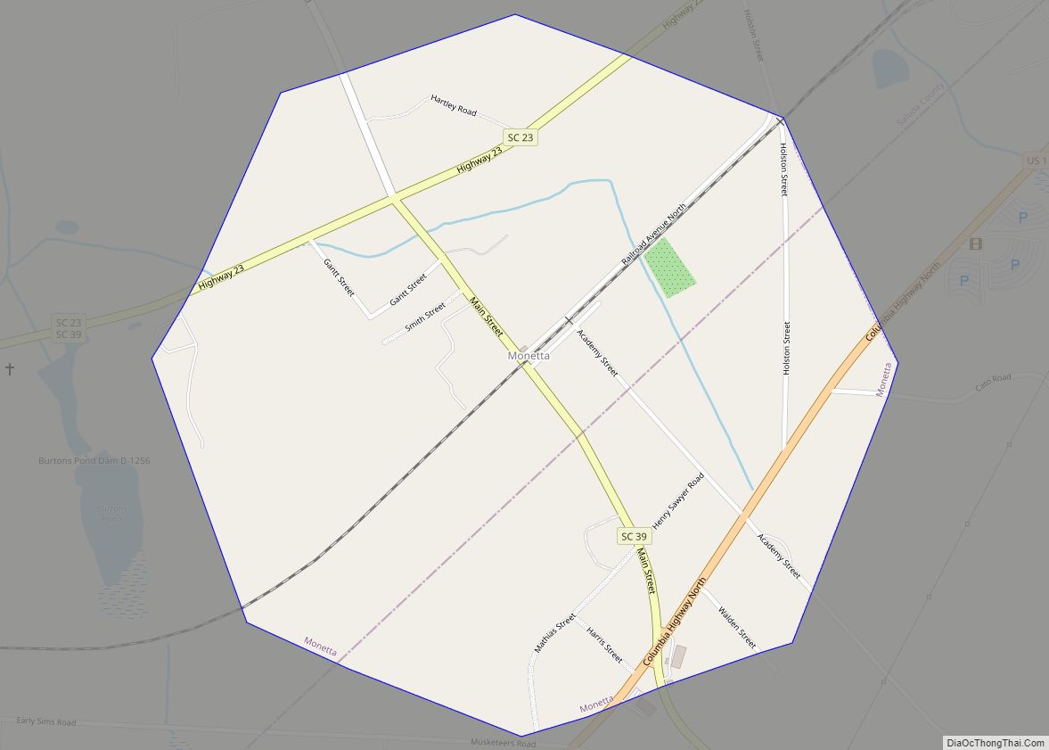
Online Interactive Map
Click on ![]() to view map in "full screen" mode.
to view map in "full screen" mode.
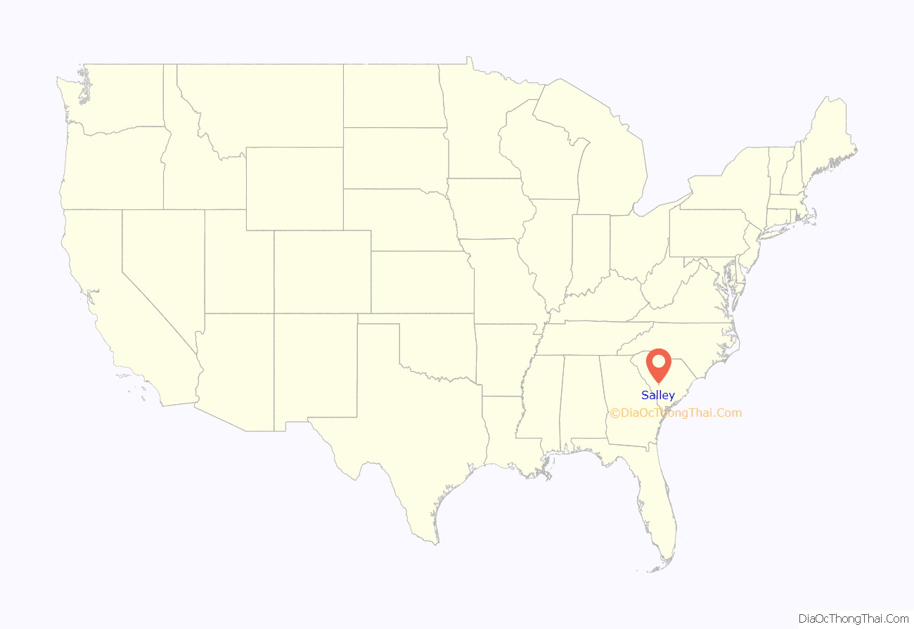
Salley location map. Where is Salley town?
History
The Salley Historic District was listed on the National Register of Historic Places in 2000. Salley elected Ladonna Hall as mayor on November 5, 2019. Mayor Hall was the first African American and first Woman elected to this position in the town’s history. The incumbent Mayor unsuccessfully challenged those results.
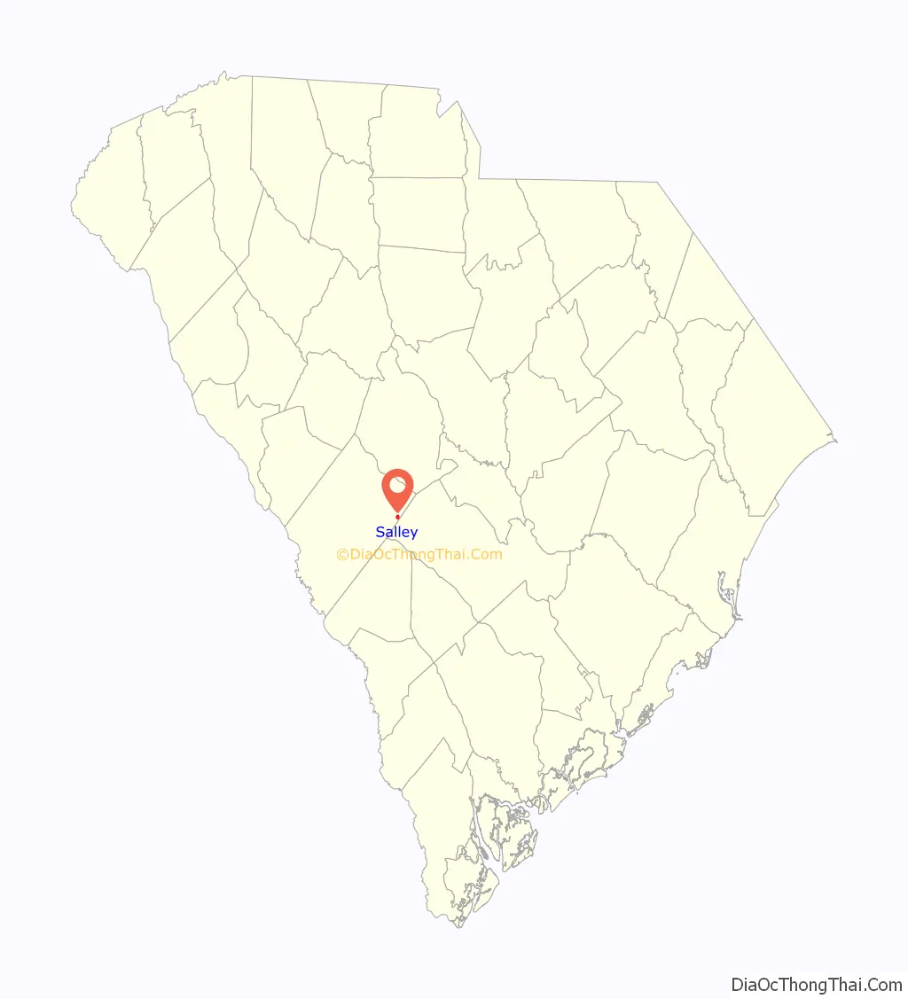
Salley Road Map
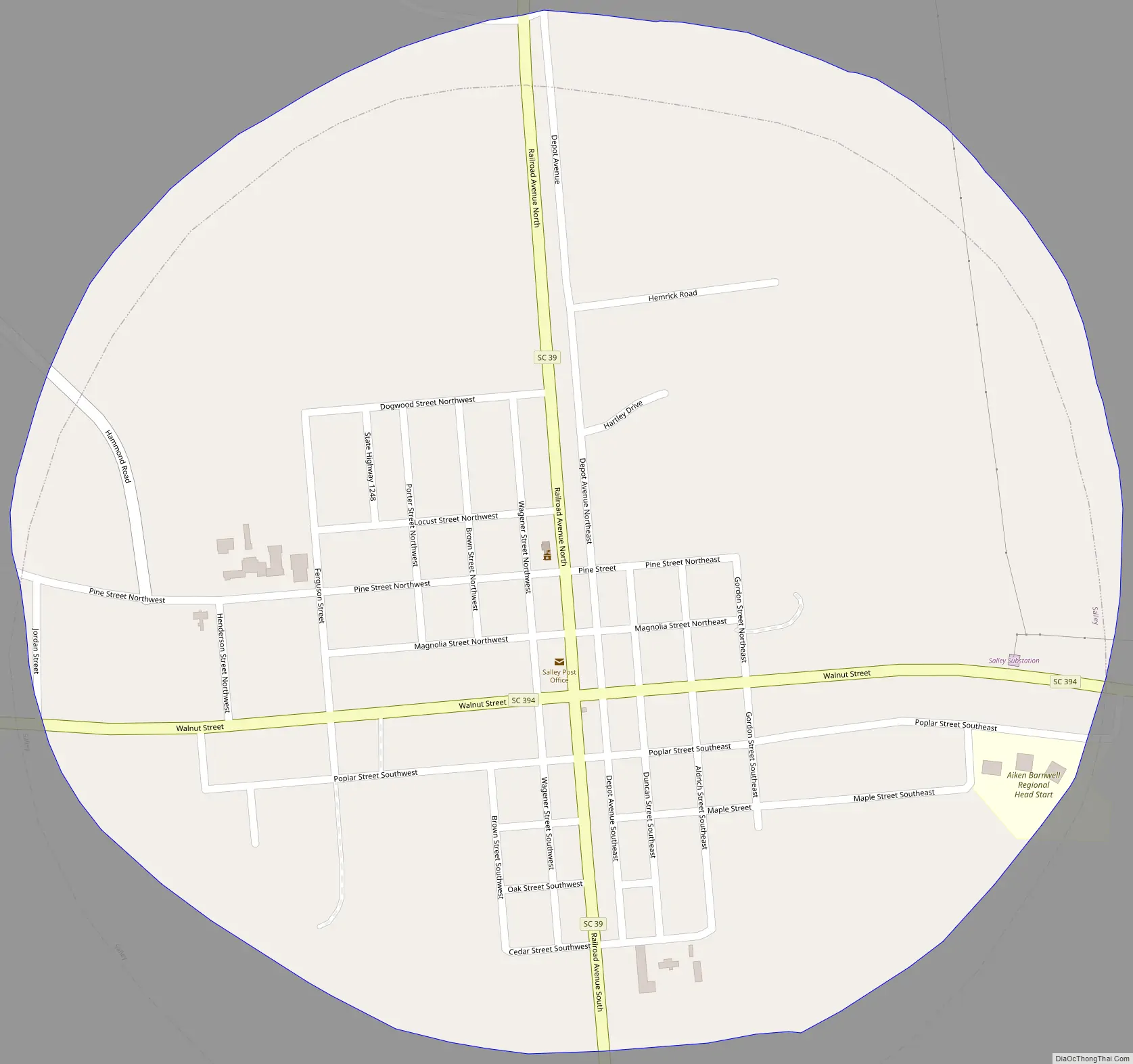
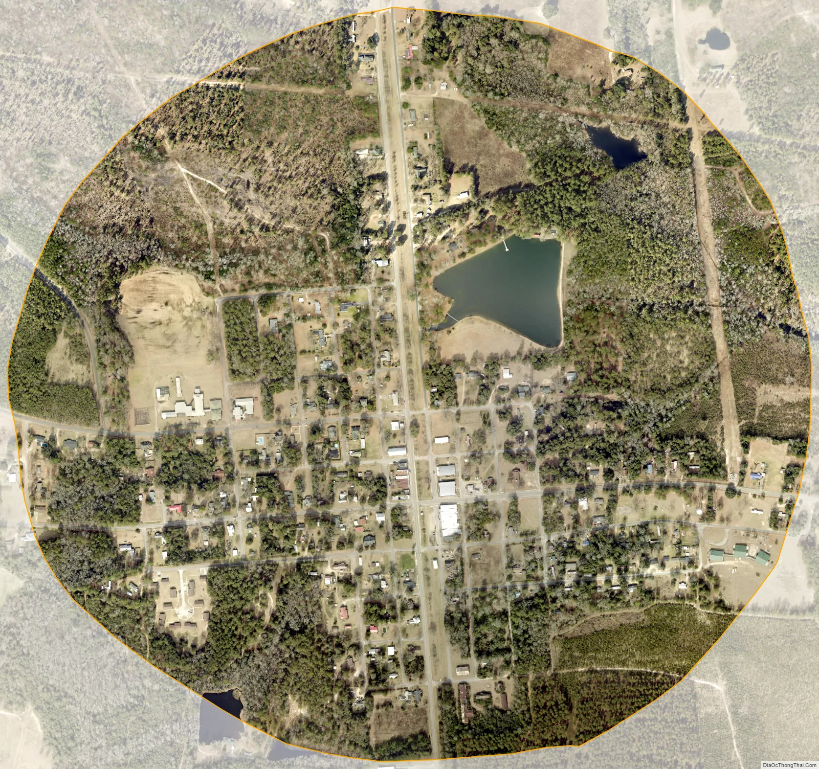
Salley city Satellite Map
Geography
Salley is located at 33°33′57″N 81°18′15″W / 33.565941°N 81.304080°W / 33.565941; -81.304080 in eastern Aiken County.
According to the United States Census Bureau, the town has a total area of 0.77 square miles (2.0 km), of which 0.012 square miles (0.03 km), or 1.41%,is water.
See also
Map of South Carolina State and its subdivision:- Abbeville
- Aiken
- Allendale
- Anderson
- Bamberg
- Barnwell
- Beaufort
- Berkeley
- Calhoun
- Charleston
- Cherokee
- Chester
- Chesterfield
- Clarendon
- Colleton
- Darlington
- Dillon
- Dorchester
- Edgefield
- Fairfield
- Florence
- Georgetown
- Greenville
- Greenwood
- Hampton
- Horry
- Jasper
- Kershaw
- Lancaster
- Laurens
- Lee
- Lexington
- Marion
- Marlboro
- McCormick
- Newberry
- Oconee
- Orangeburg
- Pickens
- Richland
- Saluda
- Spartanburg
- Sumter
- Union
- Williamsburg
- York
- Alabama
- Alaska
- Arizona
- Arkansas
- California
- Colorado
- Connecticut
- Delaware
- District of Columbia
- Florida
- Georgia
- Hawaii
- Idaho
- Illinois
- Indiana
- Iowa
- Kansas
- Kentucky
- Louisiana
- Maine
- Maryland
- Massachusetts
- Michigan
- Minnesota
- Mississippi
- Missouri
- Montana
- Nebraska
- Nevada
- New Hampshire
- New Jersey
- New Mexico
- New York
- North Carolina
- North Dakota
- Ohio
- Oklahoma
- Oregon
- Pennsylvania
- Rhode Island
- South Carolina
- South Dakota
- Tennessee
- Texas
- Utah
- Vermont
- Virginia
- Washington
- West Virginia
- Wisconsin
- Wyoming