Sycamore is a town in Allendale County, South Carolina, United States. The population was 180 as of the 2010 census. On April 5, 2022, the town was hit by an EF3 tornado, although it had weakened to EF1 strength by the time it moved through town and only minor damage occurred. One person was injured by this tornado south of Allendale, South Carolina.
| Name: | Sycamore town |
|---|---|
| LSAD Code: | 43 |
| LSAD Description: | town (suffix) |
| State: | South Carolina |
| County: | Allendale County |
| Elevation: | 148 ft (45 m) |
| Total Area: | 3.18 sq mi (8.24 km²) |
| Land Area: | 3.17 sq mi (8.21 km²) |
| Water Area: | 0.01 sq mi (0.02 km²) |
| Total Population: | 147 |
| Population Density: | 46.36/sq mi (17.90/km²) |
| ZIP code: | 29846 |
| Area code: | 803, 839 |
| FIPS code: | 4570900 |
| GNISfeature ID: | 1227007 |
Online Interactive Map
Click on ![]() to view map in "full screen" mode.
to view map in "full screen" mode.
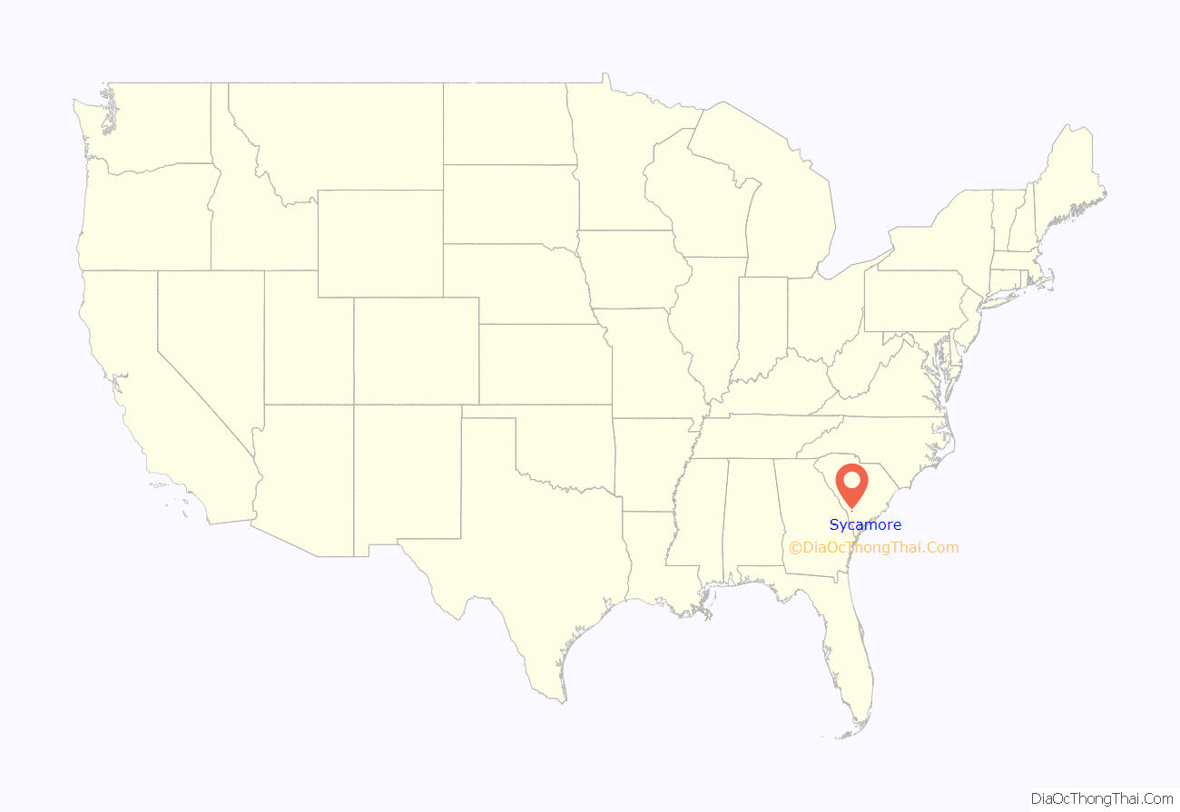
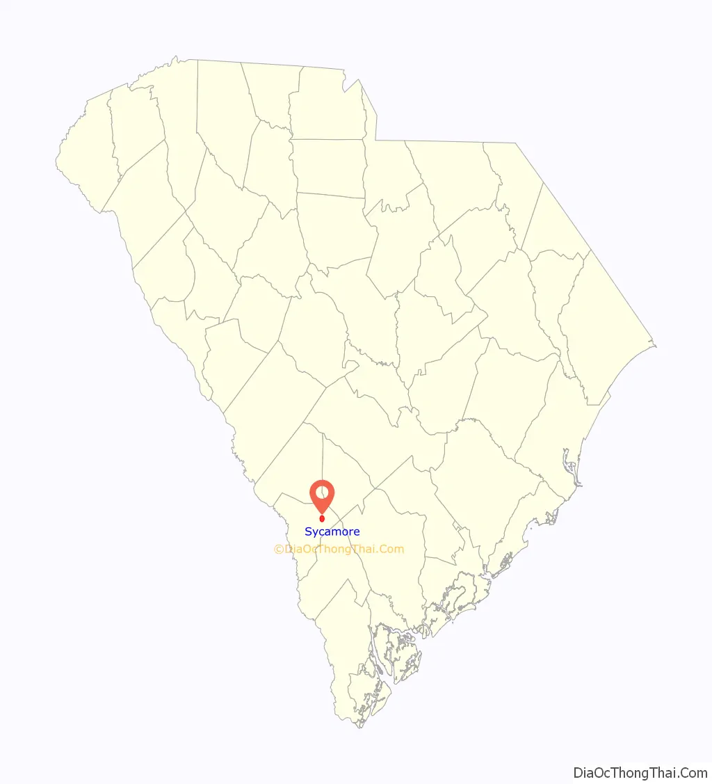
Sycamore location map. Where is Sycamore town?
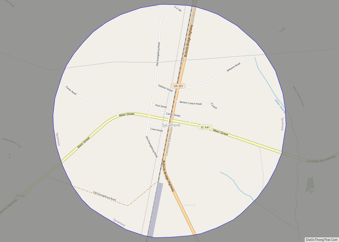
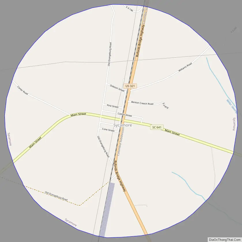
Sycamore Road Map
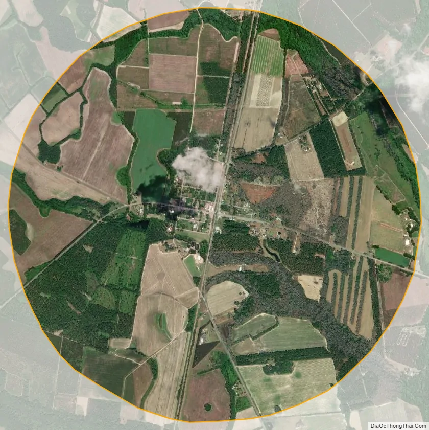
Sycamore city Satellite Map
Geography
Sycamore is located at 33°2′19″N 81°13′19″W / 33.03861°N 81.22194°W / 33.03861; -81.22194 (33.038490, -81.222032).
According to the United States Census Bureau, the town has a total area of 3.2 square miles (8.2 km), of which 0.008 square miles (0.02 km), or 0.29%, is water.
See also
Map of South Carolina State and its subdivision:- Abbeville
- Aiken
- Allendale
- Anderson
- Bamberg
- Barnwell
- Beaufort
- Berkeley
- Calhoun
- Charleston
- Cherokee
- Chester
- Chesterfield
- Clarendon
- Colleton
- Darlington
- Dillon
- Dorchester
- Edgefield
- Fairfield
- Florence
- Georgetown
- Greenville
- Greenwood
- Hampton
- Horry
- Jasper
- Kershaw
- Lancaster
- Laurens
- Lee
- Lexington
- Marion
- Marlboro
- McCormick
- Newberry
- Oconee
- Orangeburg
- Pickens
- Richland
- Saluda
- Spartanburg
- Sumter
- Union
- Williamsburg
- York
- Alabama
- Alaska
- Arizona
- Arkansas
- California
- Colorado
- Connecticut
- Delaware
- District of Columbia
- Florida
- Georgia
- Hawaii
- Idaho
- Illinois
- Indiana
- Iowa
- Kansas
- Kentucky
- Louisiana
- Maine
- Maryland
- Massachusetts
- Michigan
- Minnesota
- Mississippi
- Missouri
- Montana
- Nebraska
- Nevada
- New Hampshire
- New Jersey
- New Mexico
- New York
- North Carolina
- North Dakota
- Ohio
- Oklahoma
- Oregon
- Pennsylvania
- Rhode Island
- South Carolina
- South Dakota
- Tennessee
- Texas
- Utah
- Vermont
- Virginia
- Washington
- West Virginia
- Wisconsin
- Wyoming