Wagener is a town in Aiken County, South Carolina, United States. The population was 797 at the 2010 census, making it the largest settlement in the county north of the South Fork Edisto River. It is part of the Augusta, Georgia metropolitan area.
| Name: | Wagener town |
|---|---|
| LSAD Code: | 43 |
| LSAD Description: | town (suffix) |
| State: | South Carolina |
| County: | Aiken County |
| Elevation: | 466 ft (142 m) |
| Total Area: | 1.35 sq mi (3.49 km²) |
| Land Area: | 1.34 sq mi (3.47 km²) |
| Water Area: | 0.01 sq mi (0.02 km²) |
| Total Population: | 631 |
| Population Density: | 470.90/sq mi (181.80/km²) |
| ZIP code: | 29164 |
| Area code: | 803, 839 |
| FIPS code: | 4574050 |
| GNISfeature ID: | 1251308 |
| Website: | www.wagenersc.com |
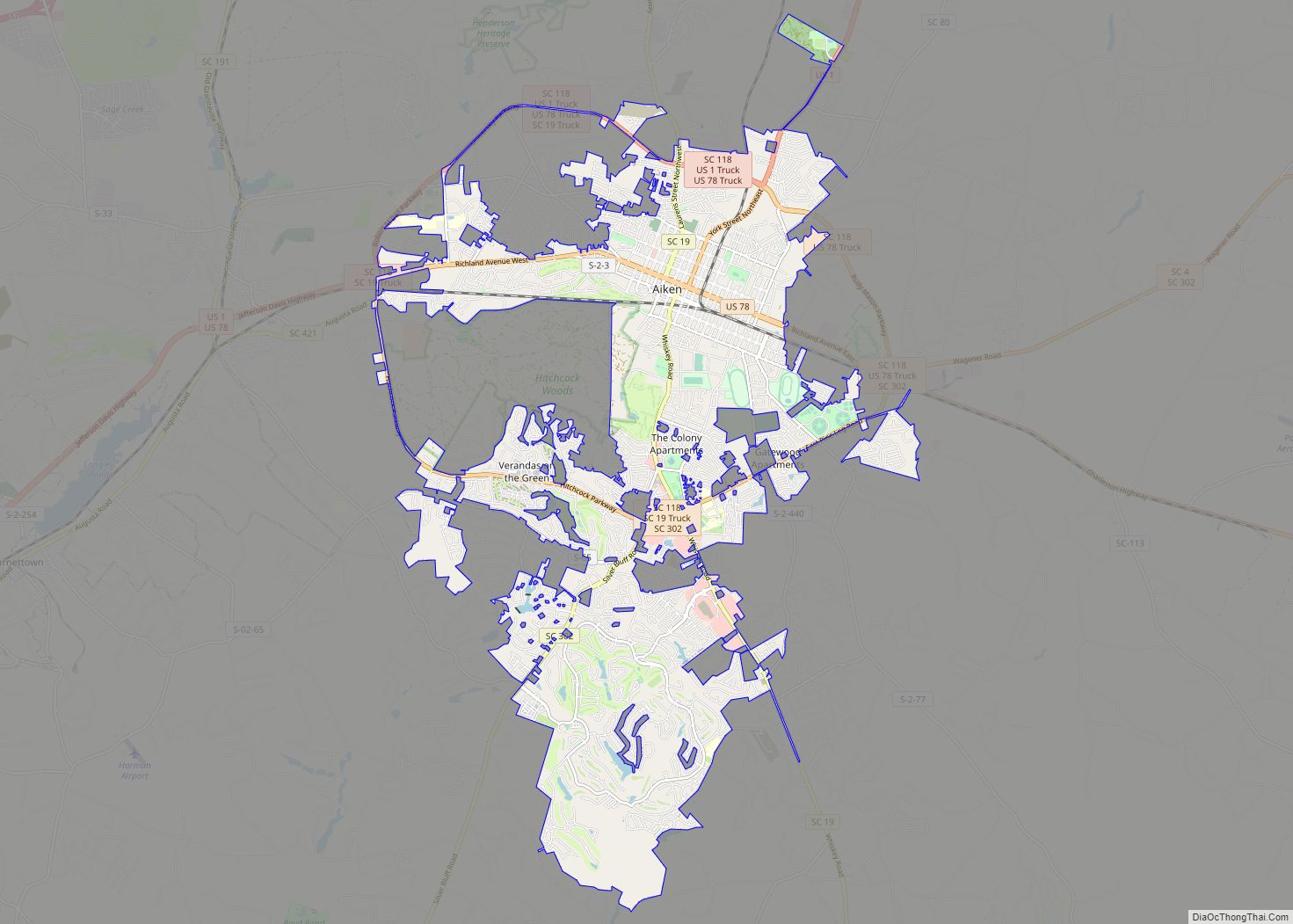
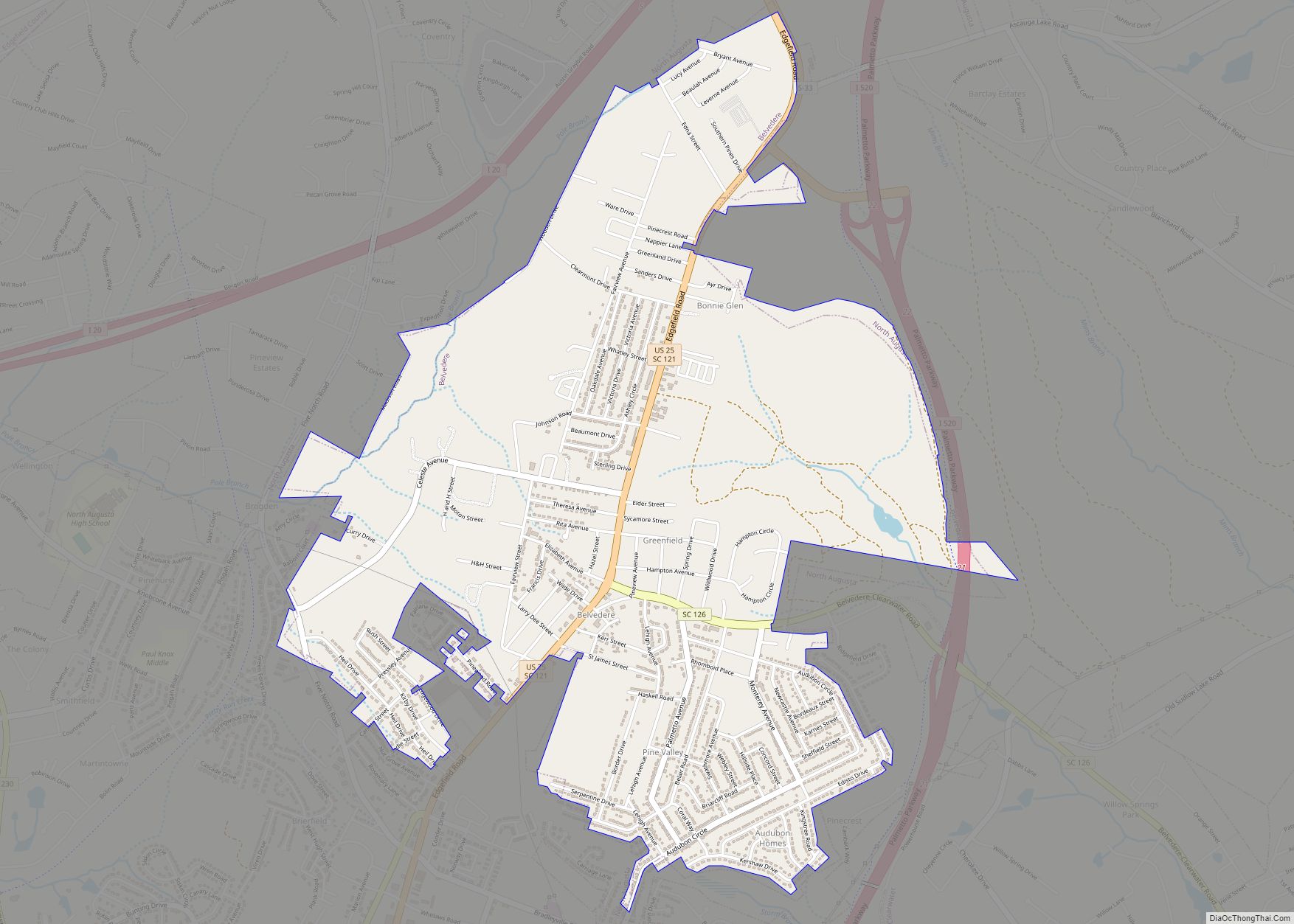
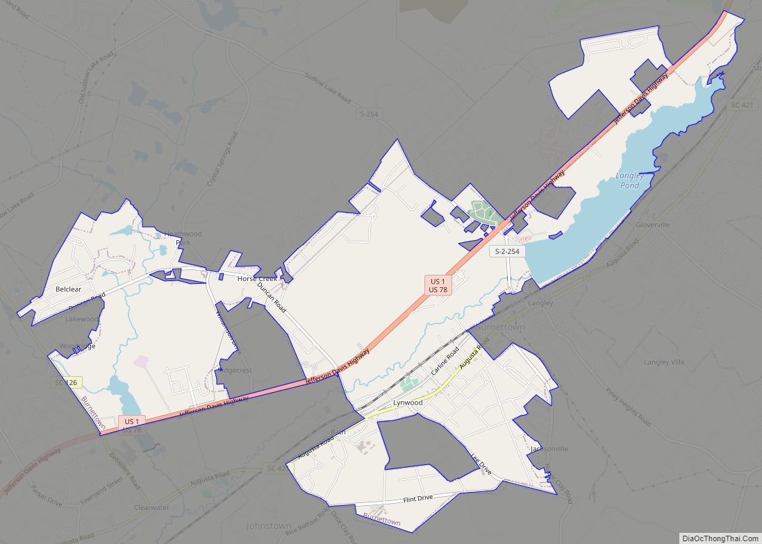
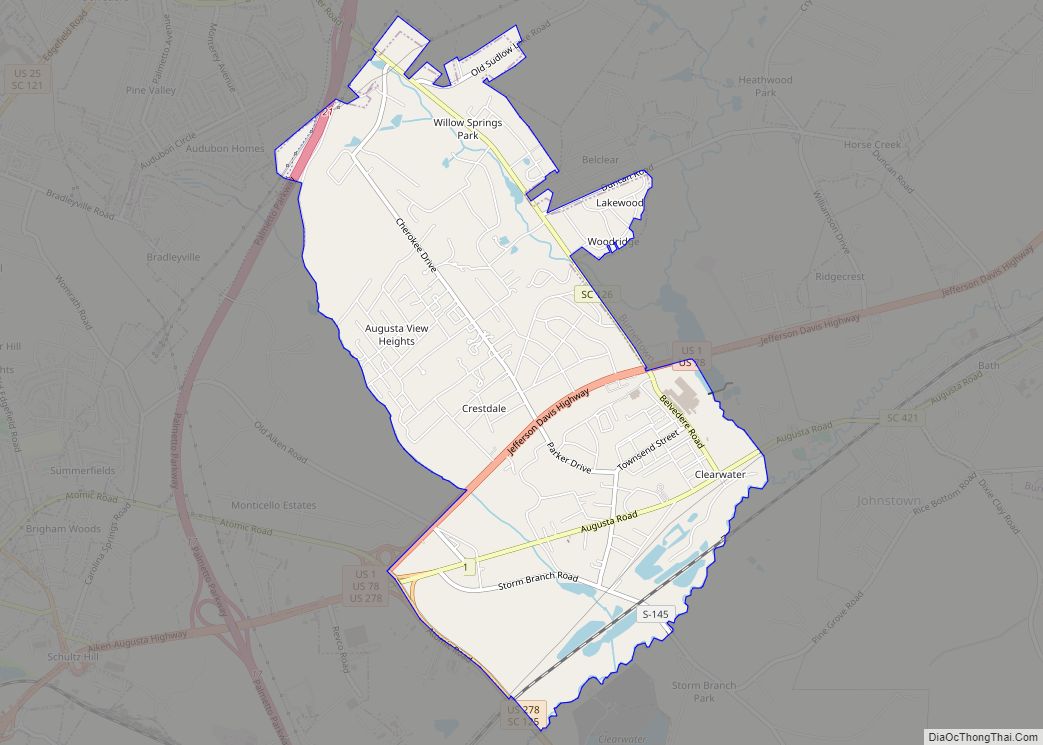
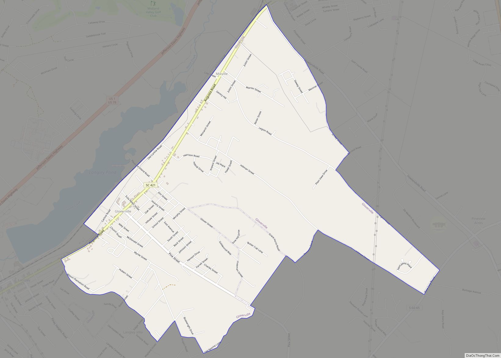
Online Interactive Map
Click on ![]() to view map in "full screen" mode.
to view map in "full screen" mode.
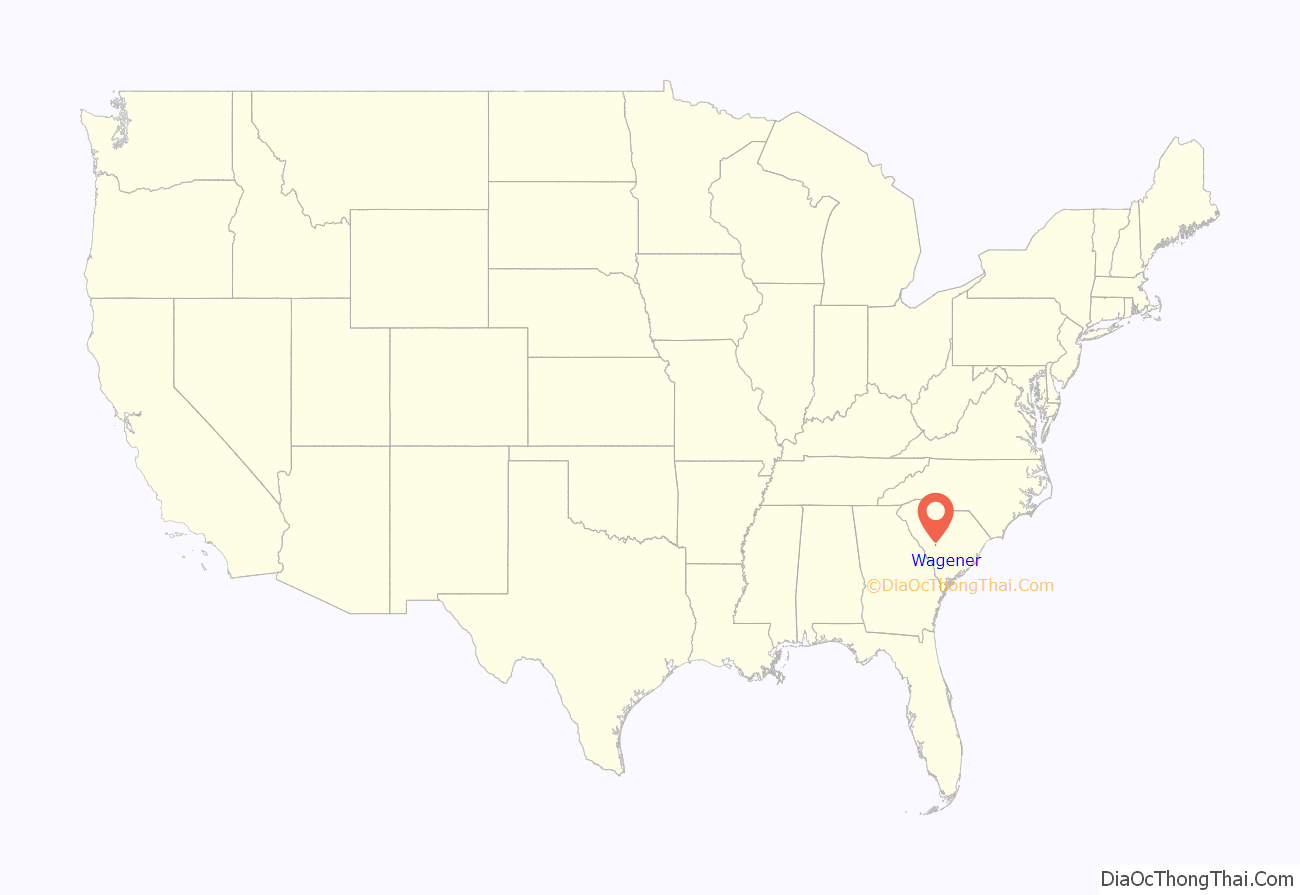
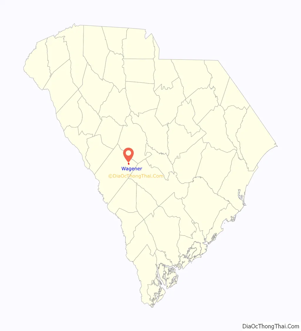
Wagener location map. Where is Wagener town?
History
Gunter’s Crossroad The history of Wagener dates back to 1887. The early settlement was known as Pinder Town and later as Guntersville or Gunter’s Crossroad, after the large number of North Carolinian settlers named Gunter. These men helped make up Company I of the 20th SC Infantry, which was part of Kershaw’s Brigade during the Civil War. The town is situated on what was once farm land belonging to Elridge Gunter. He donated this property to benefit the schools of Wagener and the First Baptist Church.
The Southern Railroad The little town grew when the Southern Railroad ran a line through to Batesburg. Nearly all of the towns that sprang up along the railroad wanted to use the last name of George Wagener, who was a strong supporter of the railroad and the owner of a wholesale house in Charleston. It was through the influence of J. A. Gunter, a prosperous local farmer, that the town received the honor of using this distinguished name.
In the 1920s and 1930s, asparagus was grown here and exported across America. During the same period, cotton became a successful product and huge bales lined the streets awaiting departure via train. The children of Wagener frolicked among the hay bales during their games of hide-n-seek. A central town park is located where the railroad beds were.
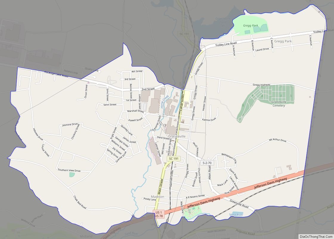
Wagener Road Map
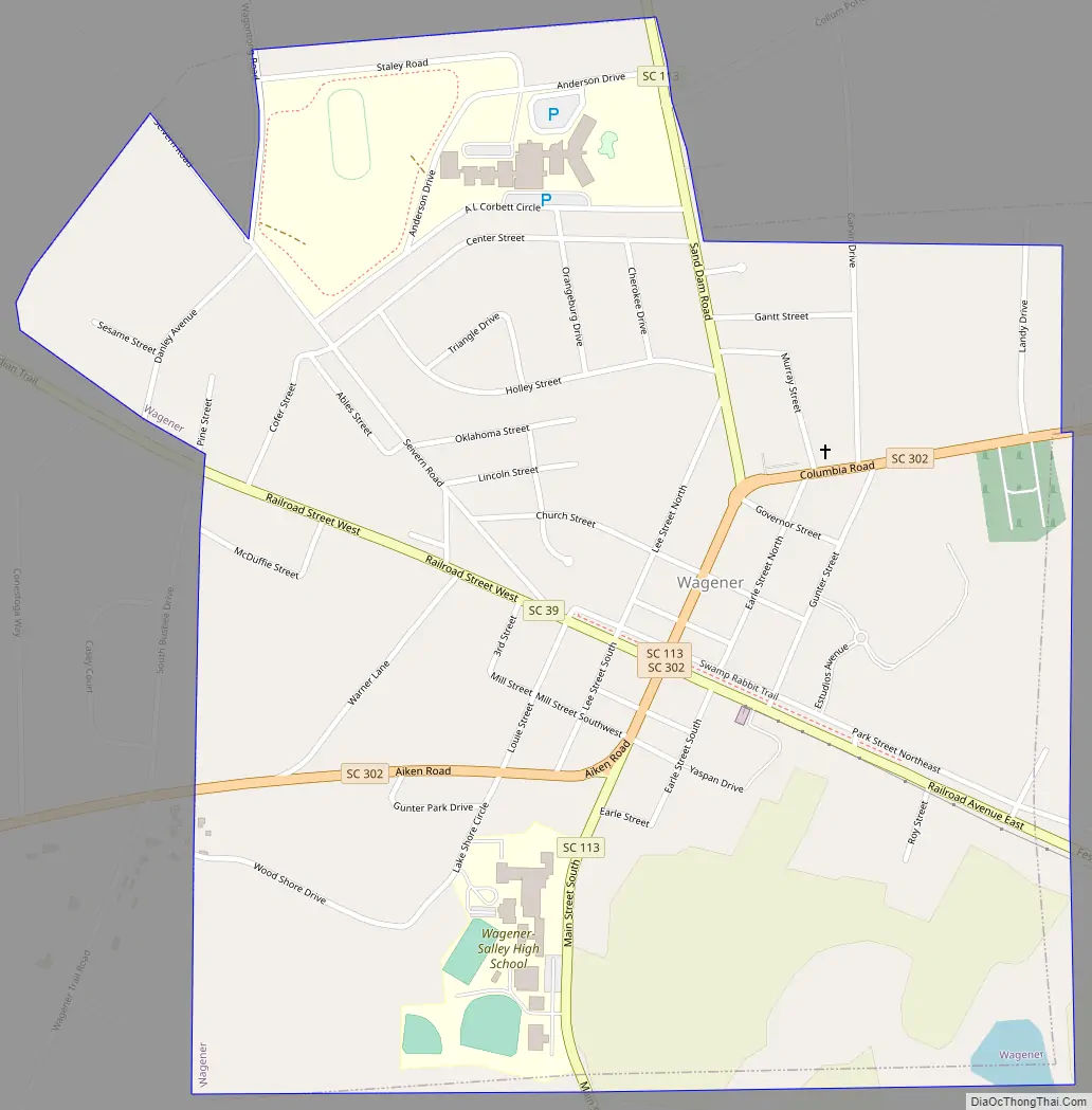
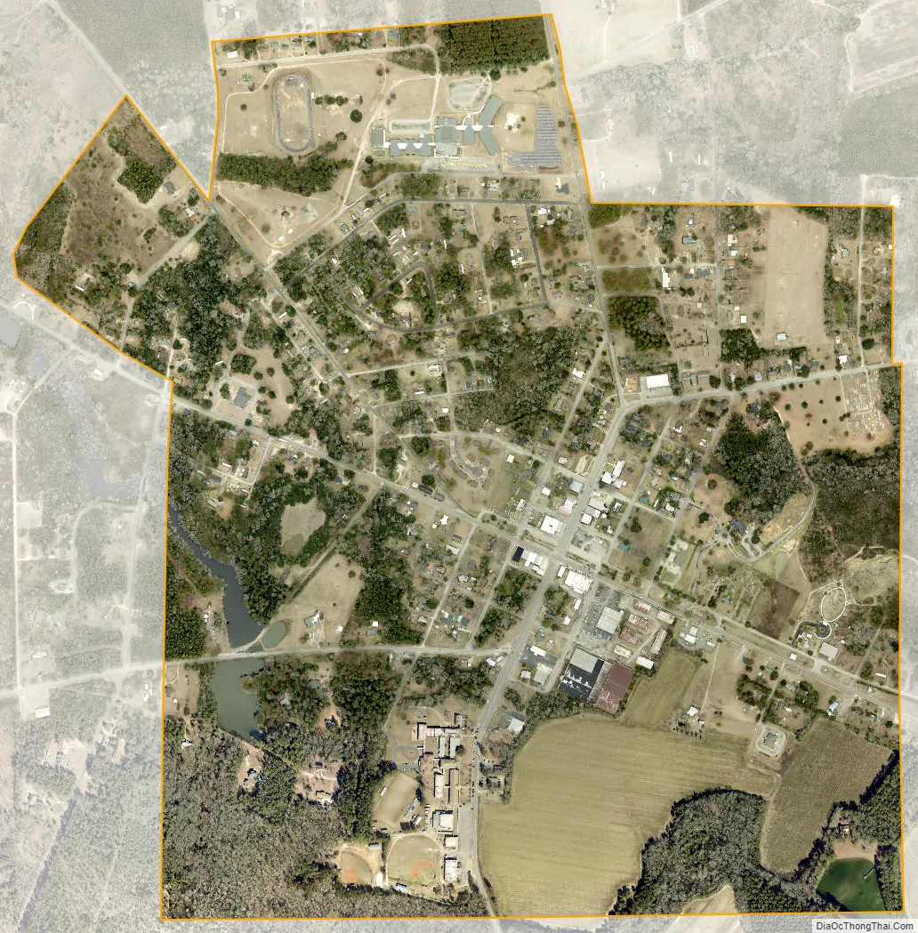
Wagener city Satellite Map
Geography
Wagener is located in eastern Aiken County at 33°39′10″N 81°21′51″W / 33.65278°N 81.36417°W / 33.65278; -81.36417 (33.652701, -81.364187).
According to the United States Census Bureau, the town has a total area of 1.2 square miles (3.1 km), of which 0.008 square miles (0.02 km), or 0.60%, is water.
See also
Map of South Carolina State and its subdivision:- Abbeville
- Aiken
- Allendale
- Anderson
- Bamberg
- Barnwell
- Beaufort
- Berkeley
- Calhoun
- Charleston
- Cherokee
- Chester
- Chesterfield
- Clarendon
- Colleton
- Darlington
- Dillon
- Dorchester
- Edgefield
- Fairfield
- Florence
- Georgetown
- Greenville
- Greenwood
- Hampton
- Horry
- Jasper
- Kershaw
- Lancaster
- Laurens
- Lee
- Lexington
- Marion
- Marlboro
- McCormick
- Newberry
- Oconee
- Orangeburg
- Pickens
- Richland
- Saluda
- Spartanburg
- Sumter
- Union
- Williamsburg
- York
- Alabama
- Alaska
- Arizona
- Arkansas
- California
- Colorado
- Connecticut
- Delaware
- District of Columbia
- Florida
- Georgia
- Hawaii
- Idaho
- Illinois
- Indiana
- Iowa
- Kansas
- Kentucky
- Louisiana
- Maine
- Maryland
- Massachusetts
- Michigan
- Minnesota
- Mississippi
- Missouri
- Montana
- Nebraska
- Nevada
- New Hampshire
- New Jersey
- New Mexico
- New York
- North Carolina
- North Dakota
- Ohio
- Oklahoma
- Oregon
- Pennsylvania
- Rhode Island
- South Carolina
- South Dakota
- Tennessee
- Texas
- Utah
- Vermont
- Virginia
- Washington
- West Virginia
- Wisconsin
- Wyoming