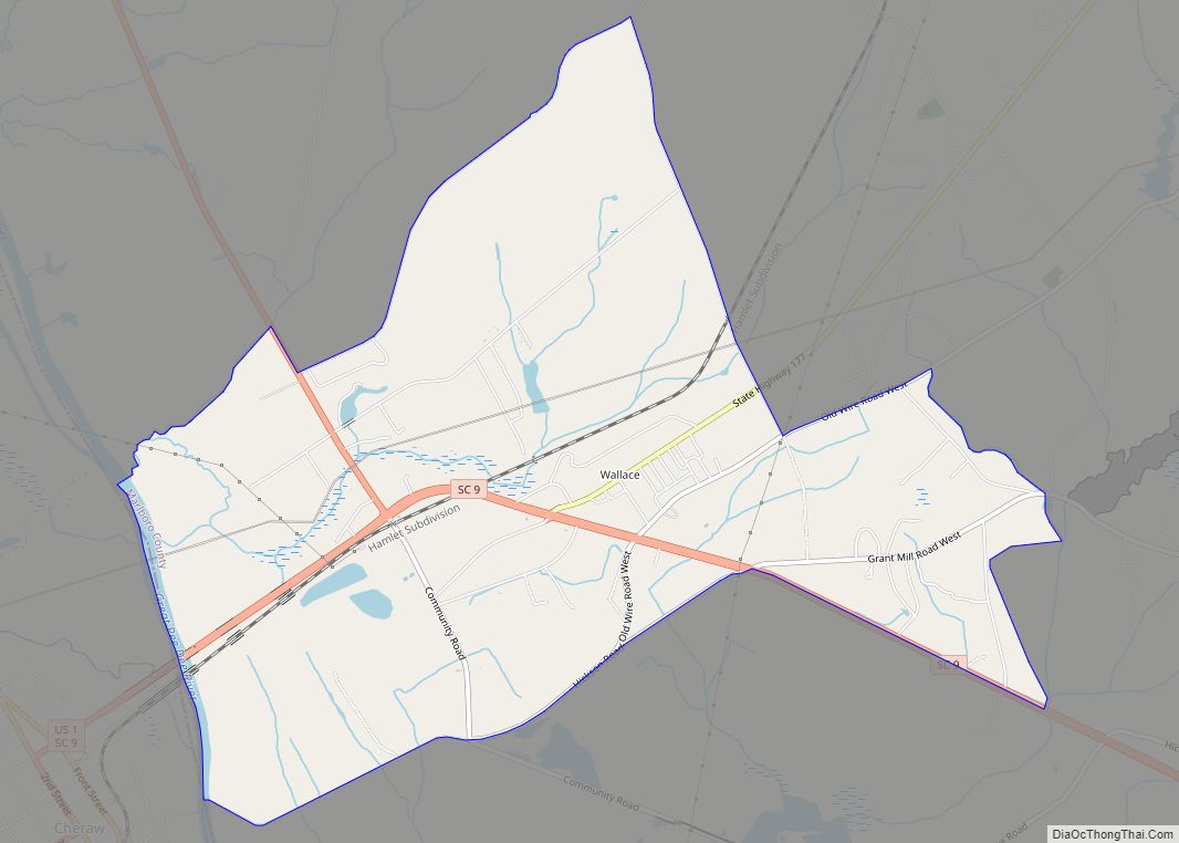
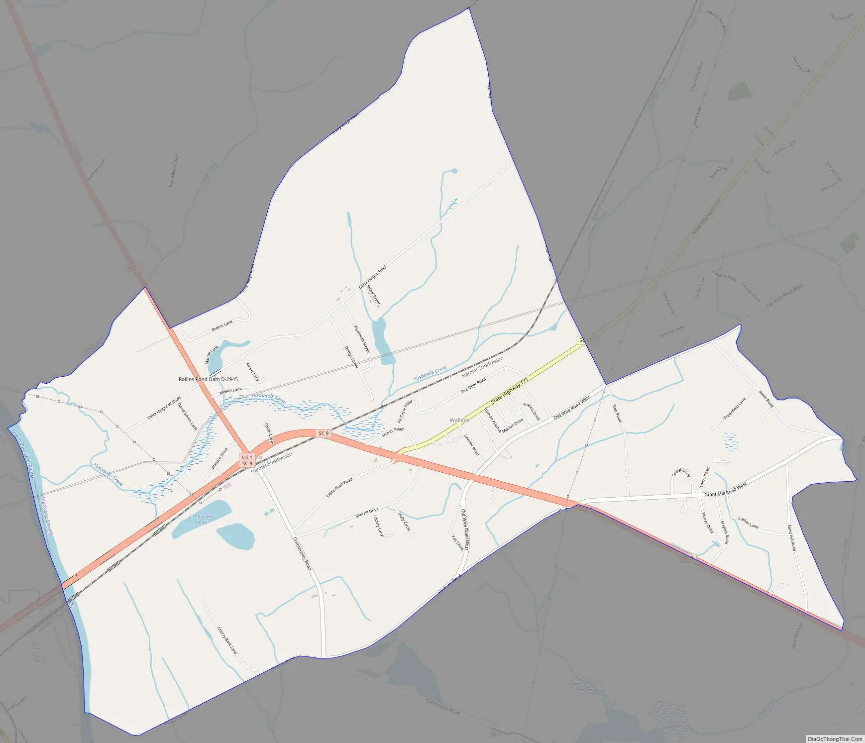
Wallace is a census-designated place and unincorporated community in northwestern Marlboro County, South Carolina, United States. It lies at the intersection of U.S. Route 1 with SC 9 and SC 177, northwest of the city of Bennettsville, the county seat of Marlboro County. Its elevation is 151&feet (46 m). Although Wallace is unincorporated, it has a post office, with the ZIP code of 29596; the ZCTA for ZIP code 29596 had a population of 2,606 at the 2000 census.
Pegues Place was listed on the National Register of Historic Places in 1971.
| Name: | Wallace CDP |
|---|---|
| LSAD Code: | 57 |
| LSAD Description: | CDP (suffix) |
| State: | South Carolina |
| County: | Marlboro County |
| Total Area: | 6.69 sq mi (17.33 km²) |
| Land Area: | 6.58 sq mi (17.03 km²) |
| Water Area: | 0.12 sq mi (0.30 km²) |
| Total Population: | 843 |
| Population Density: | 128.21/sq mi (49.51/km²) |
| ZIP code: | 29596 |
| Area code: | 7866 |
| FIPS code: | 4574140 |
| GNISfeature ID: | 1251311 |
Online Interactive Map
Click on ![]() to view map in "full screen" mode.
to view map in "full screen" mode.
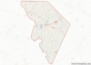
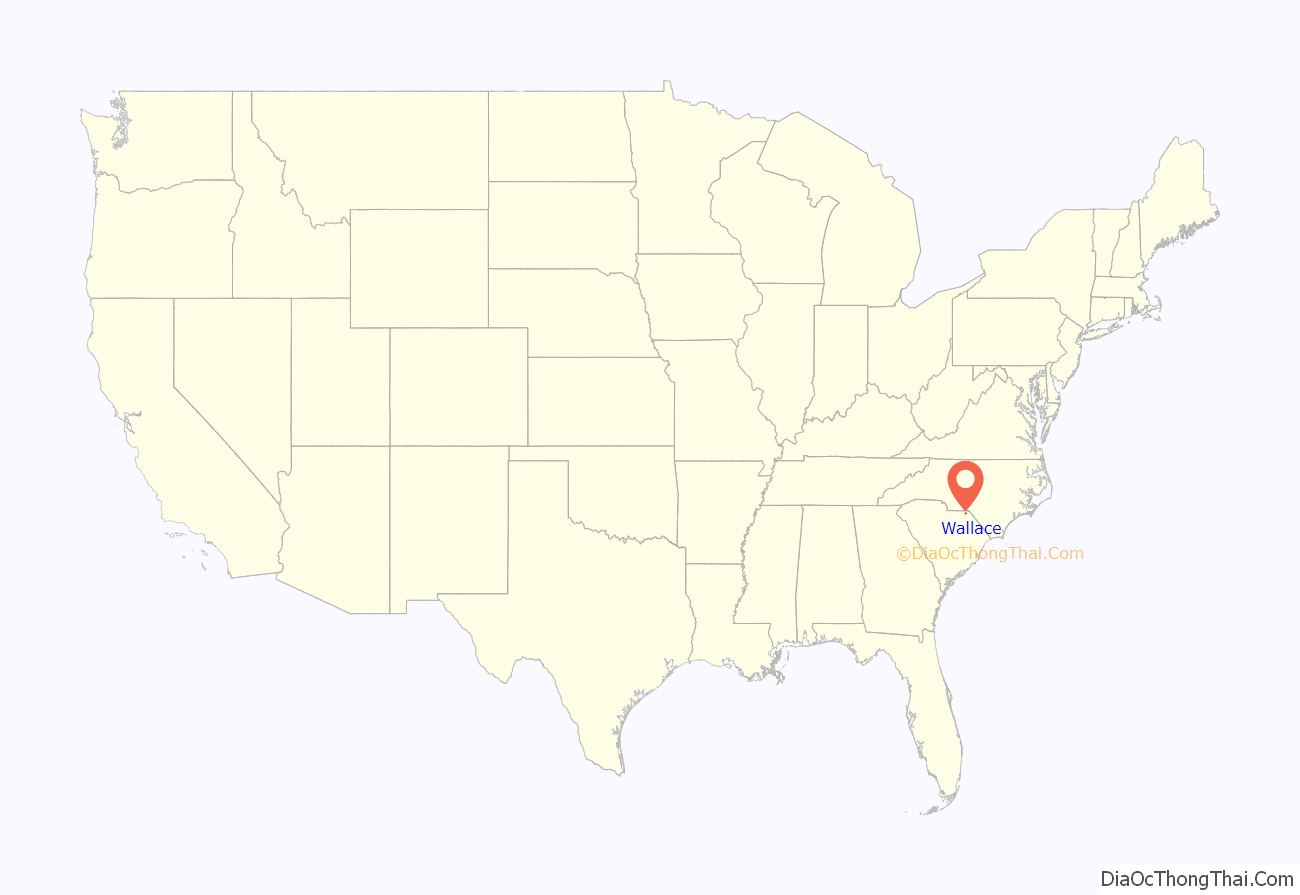
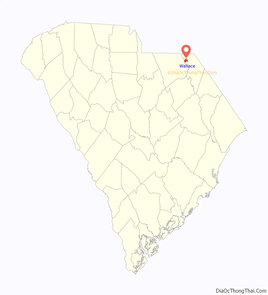
Wallace location map. Where is Wallace CDP?
Wallace Road Map
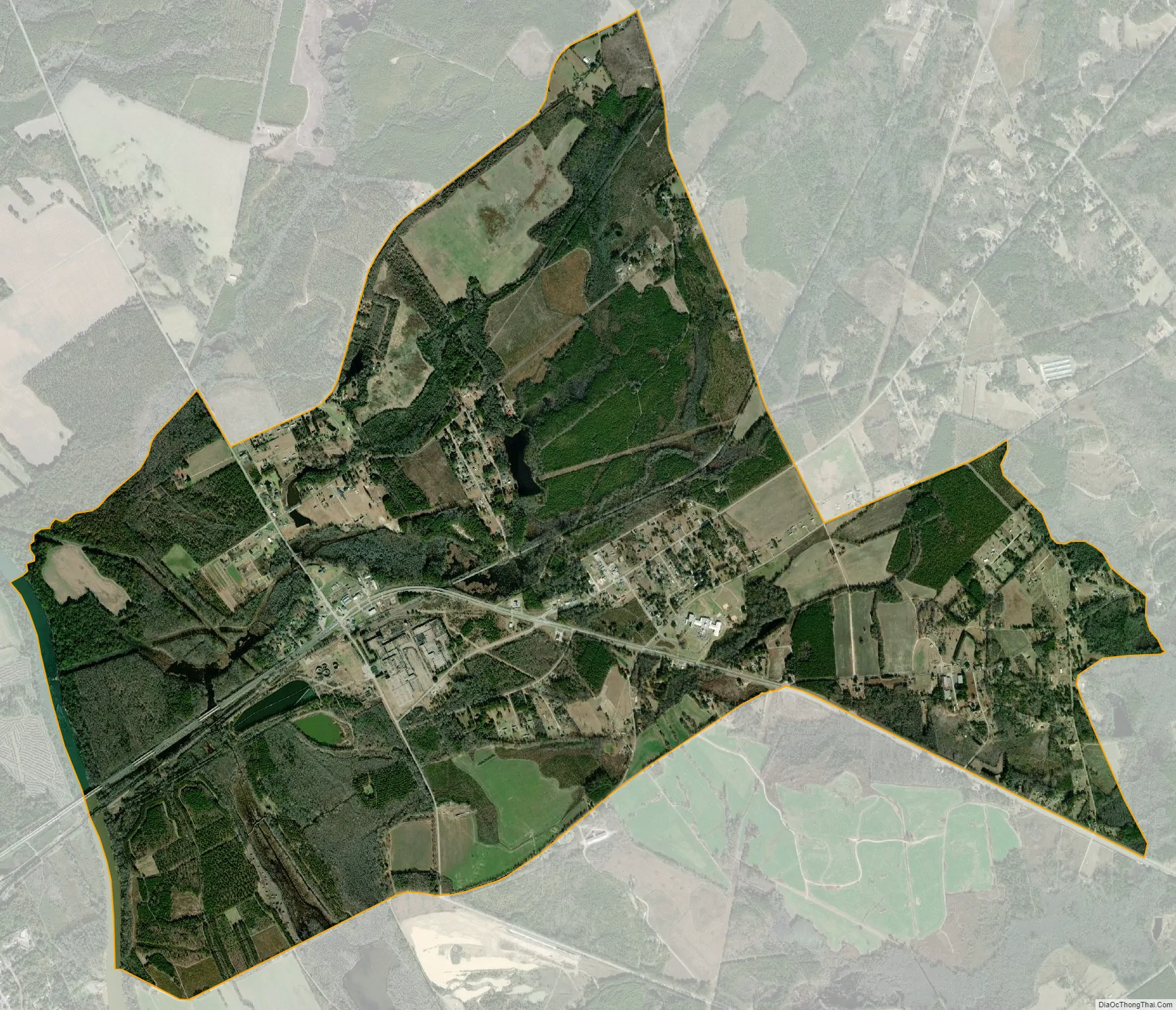
Wallace city Satellite Map
See also
Map of South Carolina State and its subdivision:- Abbeville
- Aiken
- Allendale
- Anderson
- Bamberg
- Barnwell
- Beaufort
- Berkeley
- Calhoun
- Charleston
- Cherokee
- Chester
- Chesterfield
- Clarendon
- Colleton
- Darlington
- Dillon
- Dorchester
- Edgefield
- Fairfield
- Florence
- Georgetown
- Greenville
- Greenwood
- Hampton
- Horry
- Jasper
- Kershaw
- Lancaster
- Laurens
- Lee
- Lexington
- Marion
- Marlboro
- McCormick
- Newberry
- Oconee
- Orangeburg
- Pickens
- Richland
- Saluda
- Spartanburg
- Sumter
- Union
- Williamsburg
- York
- Alabama
- Alaska
- Arizona
- Arkansas
- California
- Colorado
- Connecticut
- Delaware
- District of Columbia
- Florida
- Georgia
- Hawaii
- Idaho
- Illinois
- Indiana
- Iowa
- Kansas
- Kentucky
- Louisiana
- Maine
- Maryland
- Massachusetts
- Michigan
- Minnesota
- Mississippi
- Missouri
- Montana
- Nebraska
- Nevada
- New Hampshire
- New Jersey
- New Mexico
- New York
- North Carolina
- North Dakota
- Ohio
- Oklahoma
- Oregon
- Pennsylvania
- Rhode Island
- South Carolina
- South Dakota
- Tennessee
- Texas
- Utah
- Vermont
- Virginia
- Washington
- West Virginia
- Wisconsin
- Wyoming