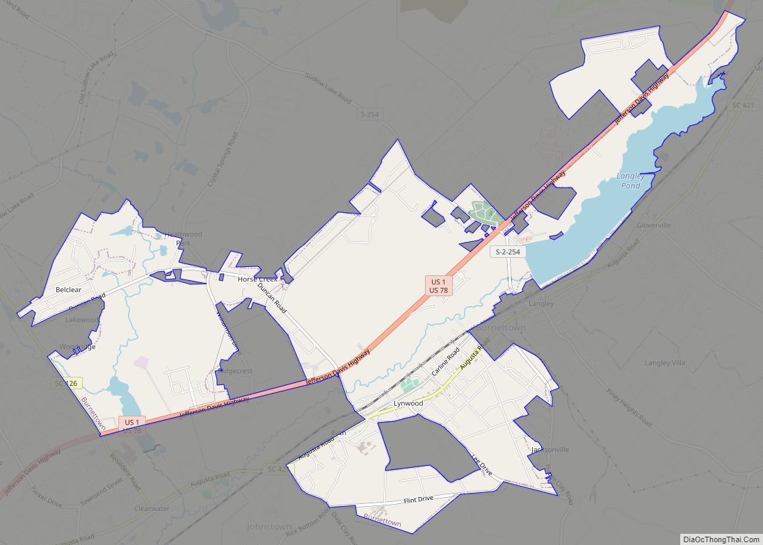
Warrenville is a census-designated place (CDP) in Aiken County, South Carolina, United States. The population was 1,233 at the 2010 census. It is located just south of Graniteville and is part of the Augusta, Georgia metropolitan area. Warrenville is located in historic Horse Creek Valley.
| Name: | Warrenville CDP |
|---|---|
| LSAD Code: | 57 |
| LSAD Description: | CDP (suffix) |
| State: | South Carolina |
| County: | Aiken County |
| Elevation: | 235 ft (72 m) |
| Total Area: | 1.09 sq mi (2.83 km²) |
| Land Area: | 1.08 sq mi (2.81 km²) |
| Water Area: | 0.01 sq mi (0.02 km²) |
| Total Population: | 1,134 |
| Population Density: | 1,046.13/sq mi (403.74/km²) |
| ZIP code: | 29851 |
| Area code: | 803 and 839 |
| FIPS code: | 4574725 |
| GNISfeature ID: | 1231893 |
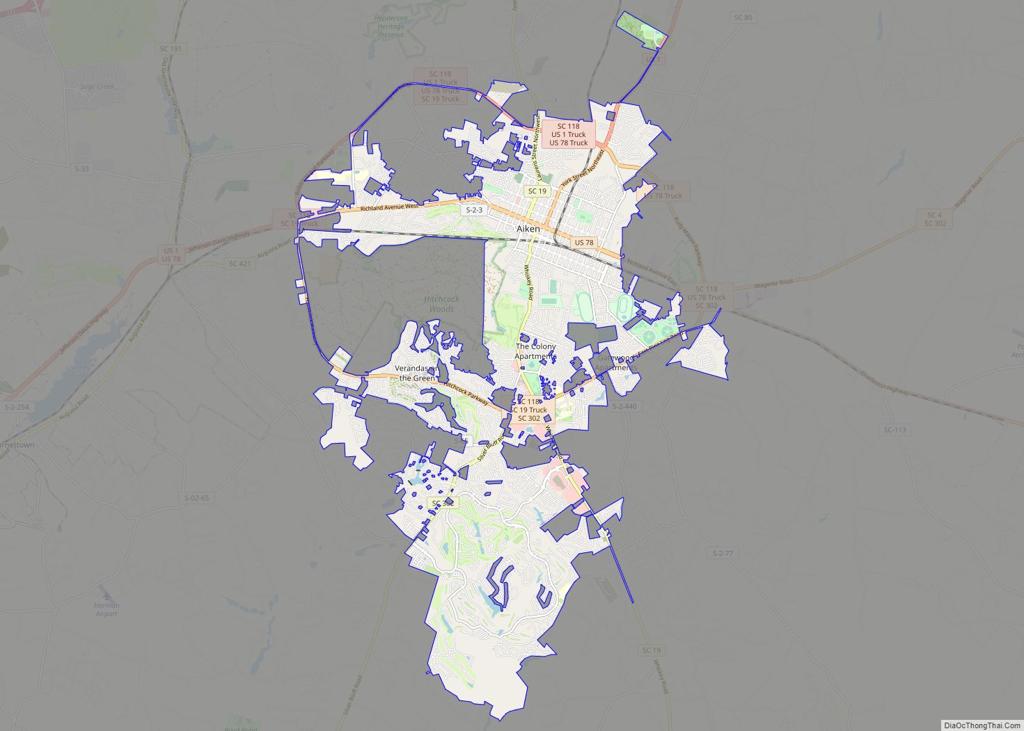
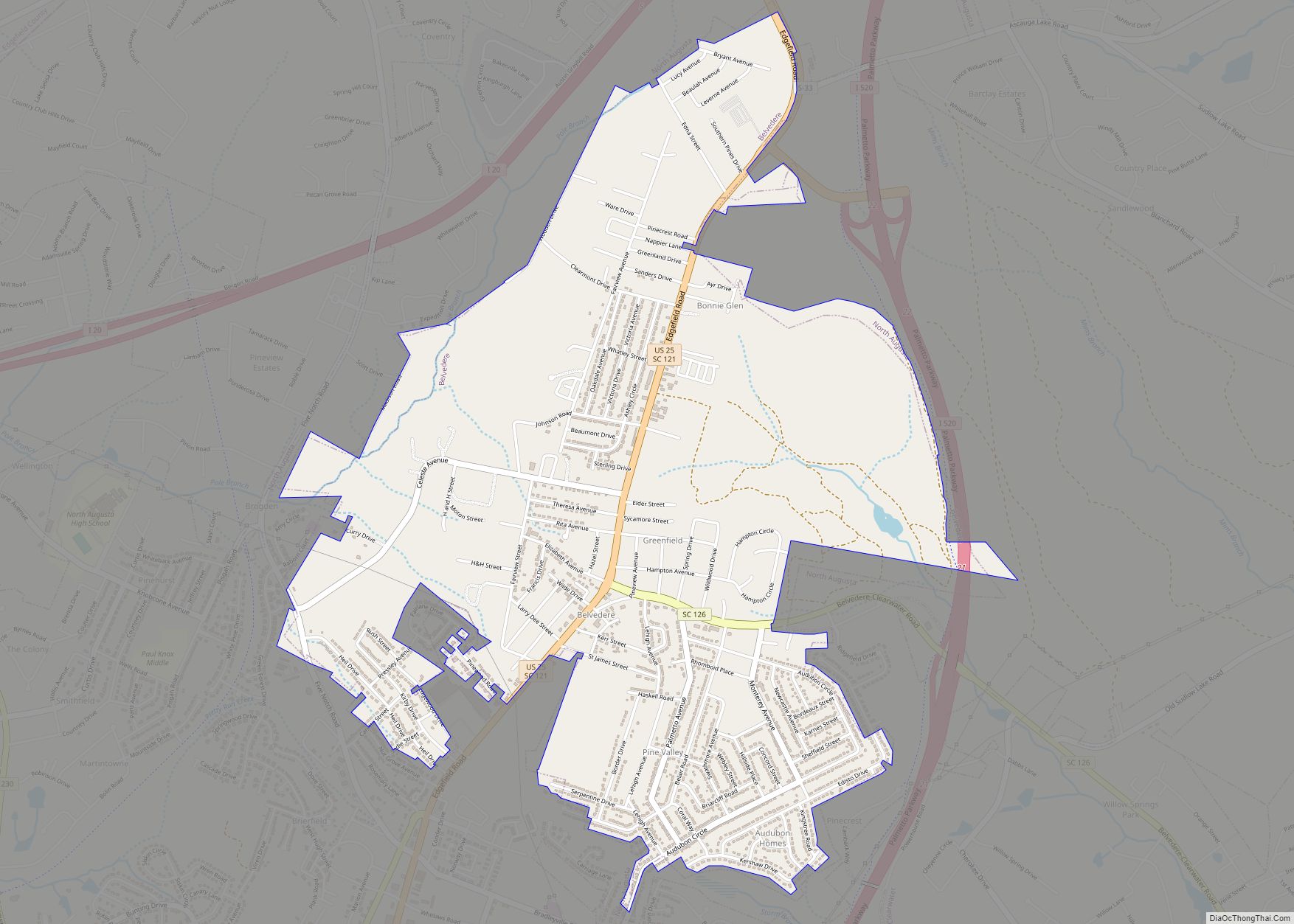
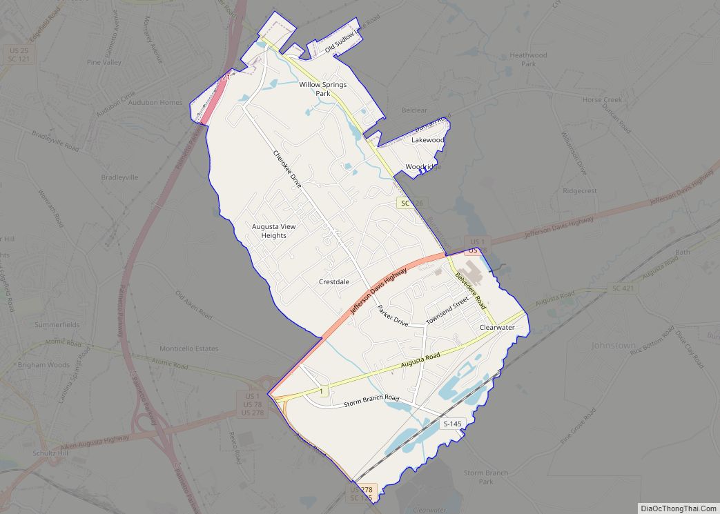
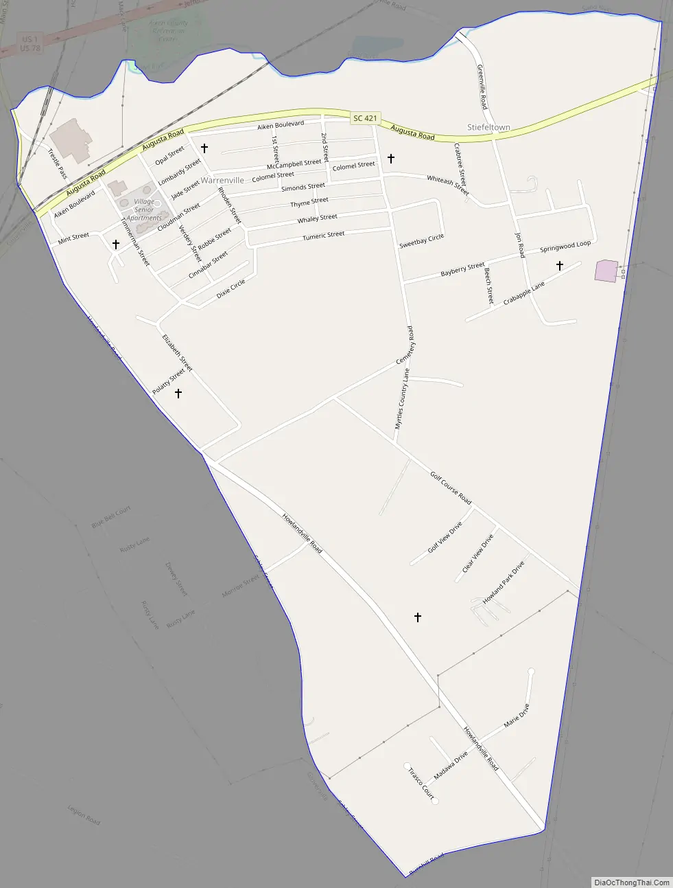
Online Interactive Map
Click on ![]() to view map in "full screen" mode.
to view map in "full screen" mode.
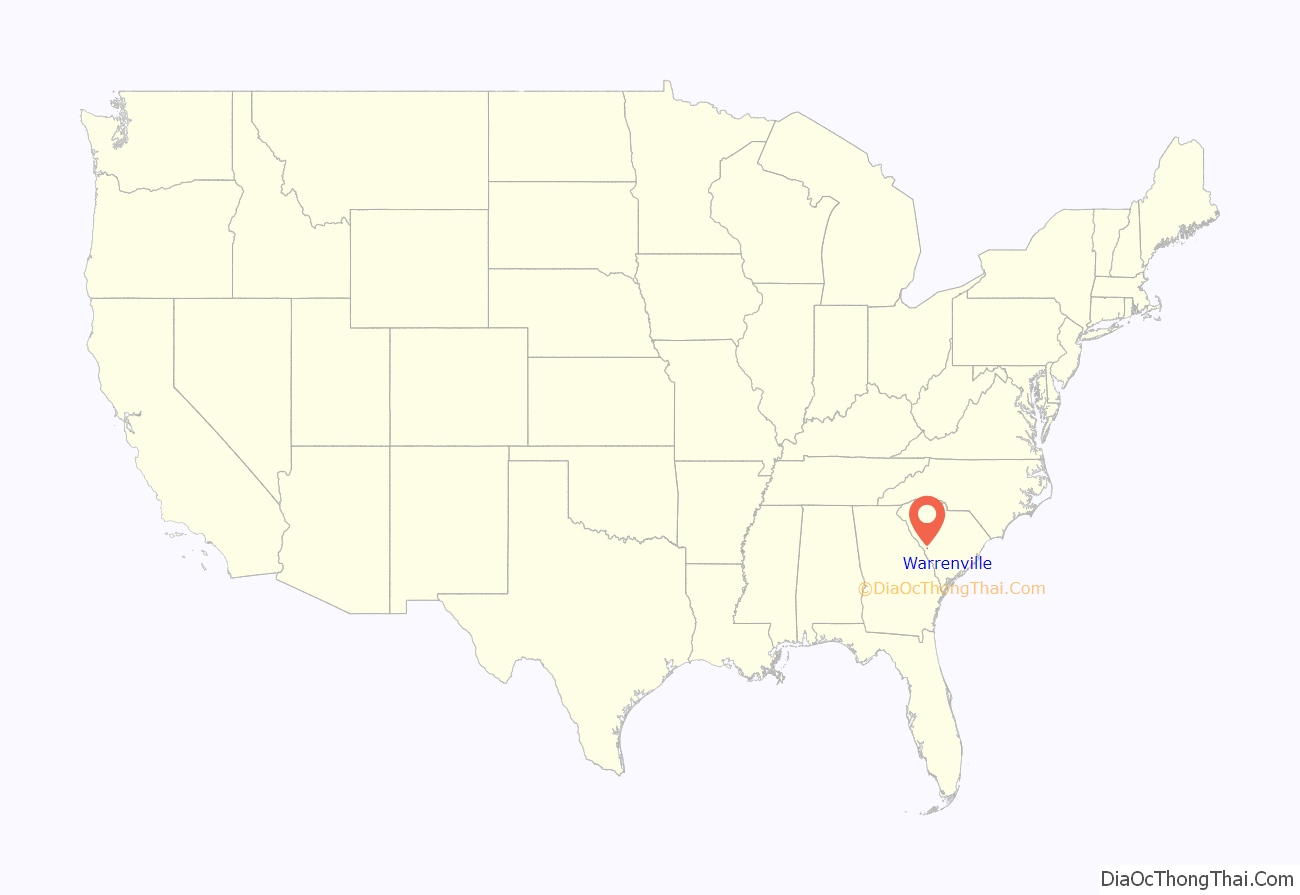
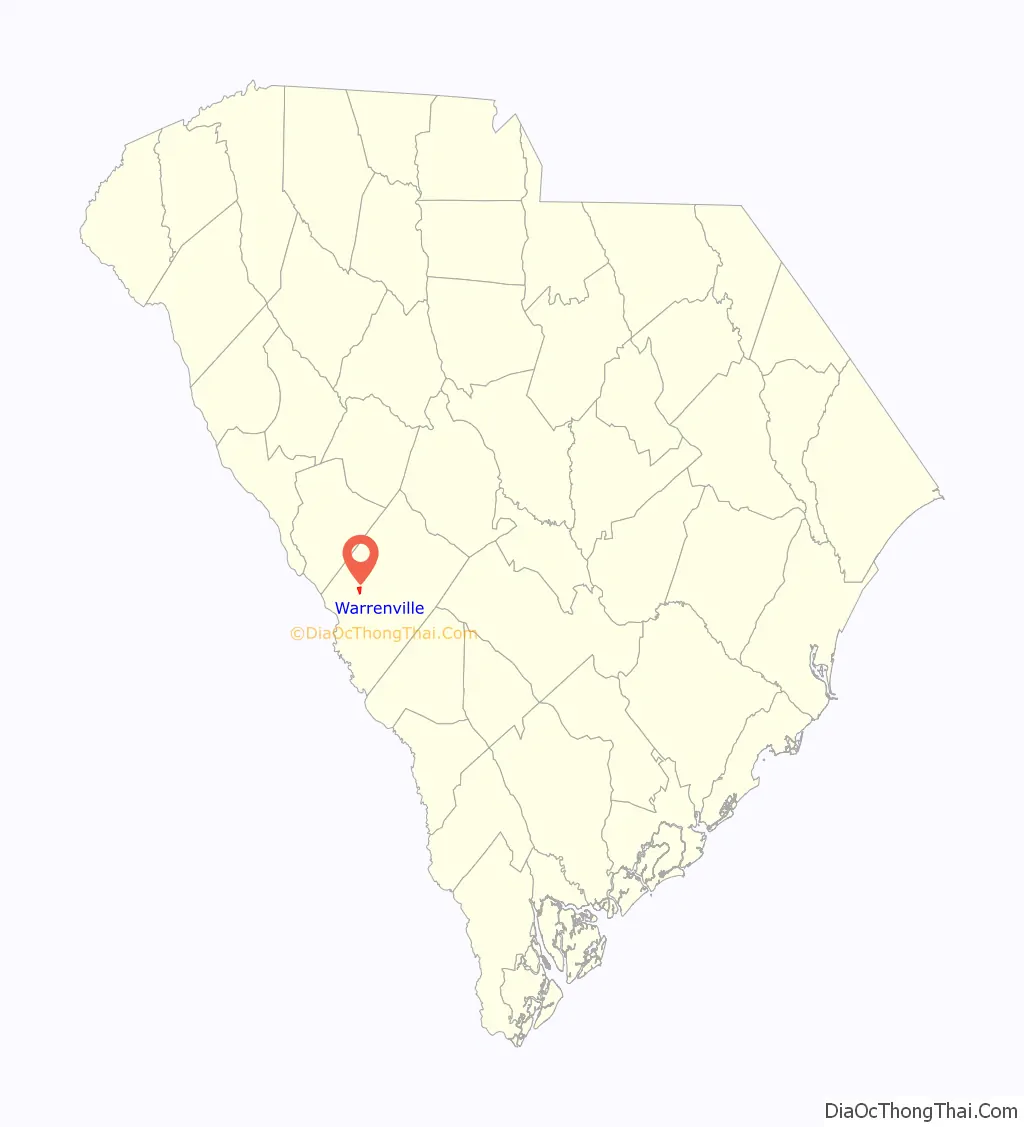
Warrenville location map. Where is Warrenville CDP?
History
In 2008, there were talks about incorporating the villages of Warrenville, Graniteville, and Vaucluse; as a result, the towns approved a referendum to vote on whether or not to incorporate. If approved, the municipality would have had an area of around 20 square miles (52 km). The referendum was defeated by a two-to-one margin in August 2008.
The Warrenville Elementary School was listed on the National Register of Historic Places in 2002.
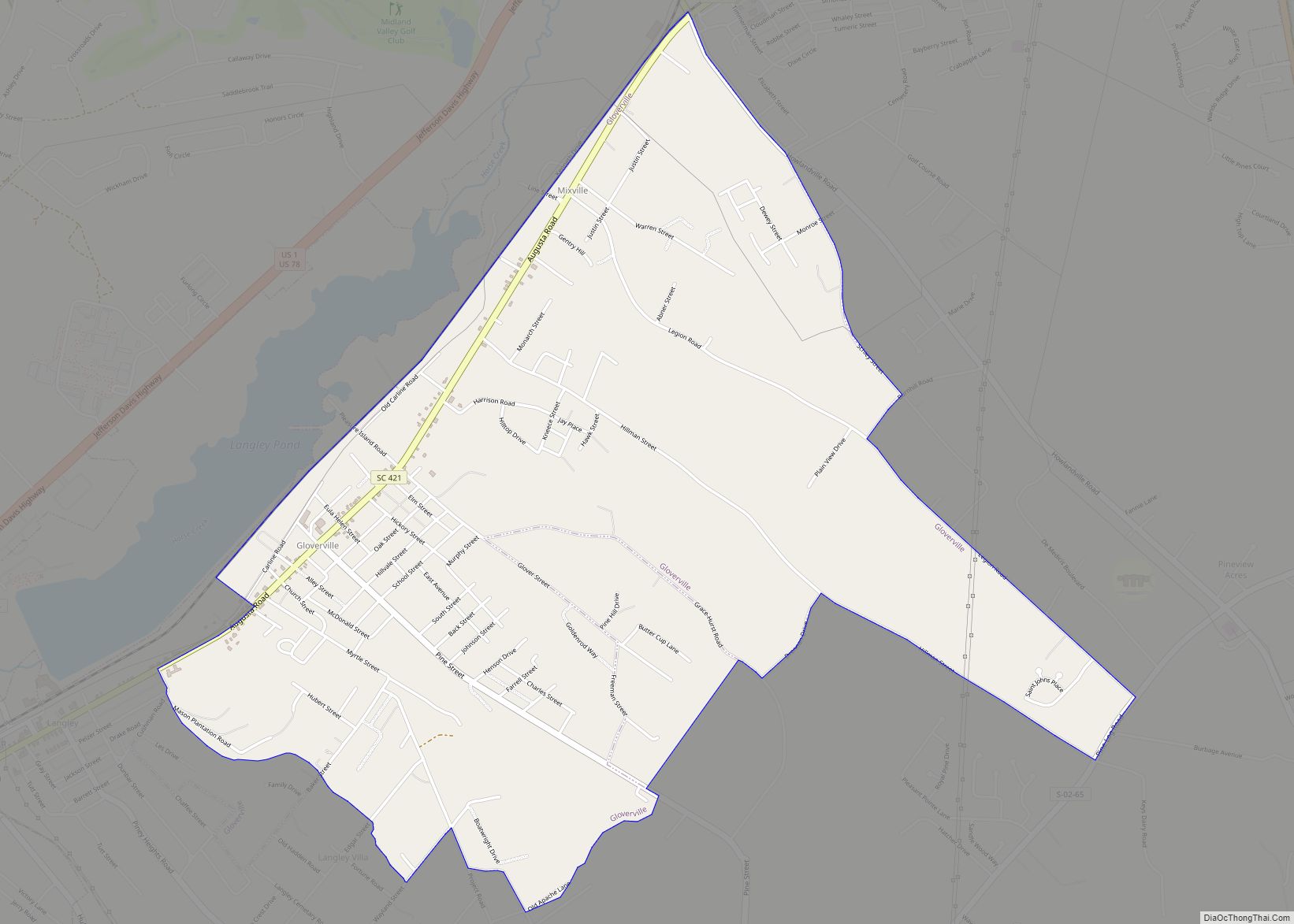
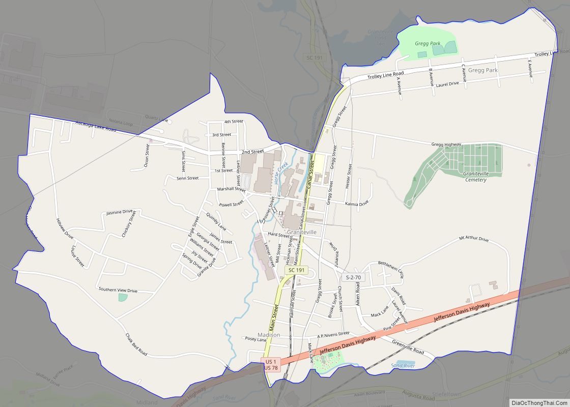
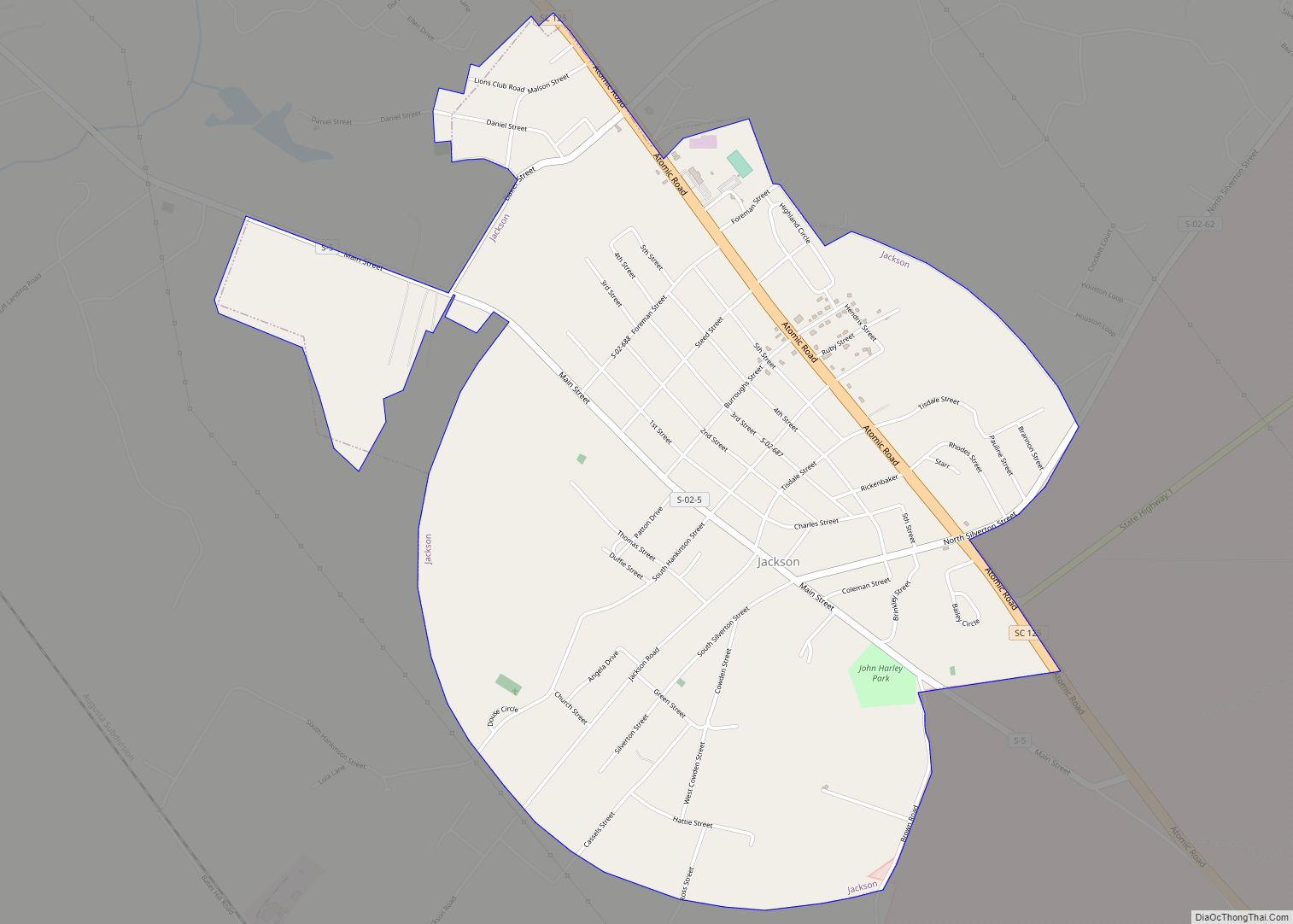
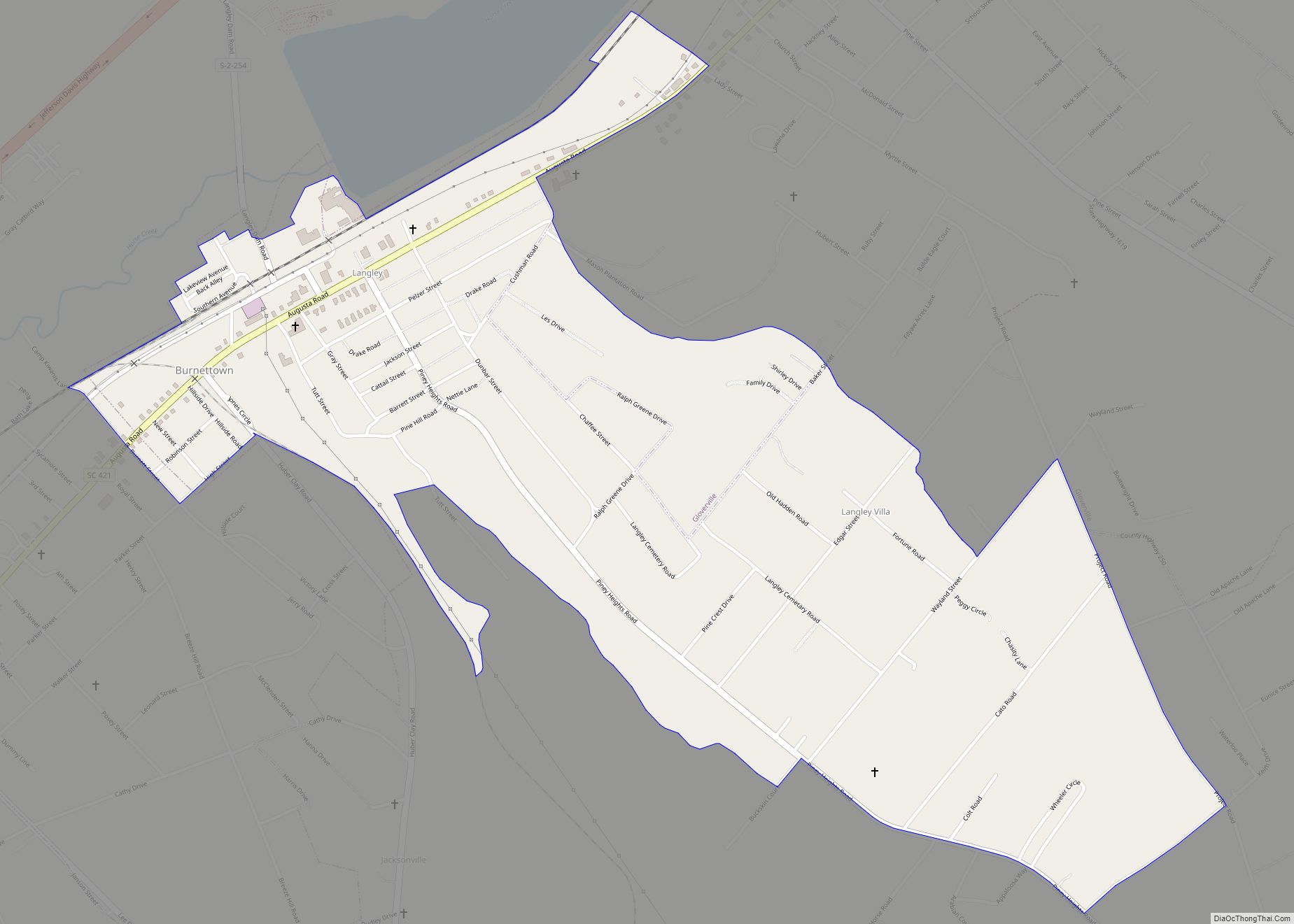
Warrenville Road Map
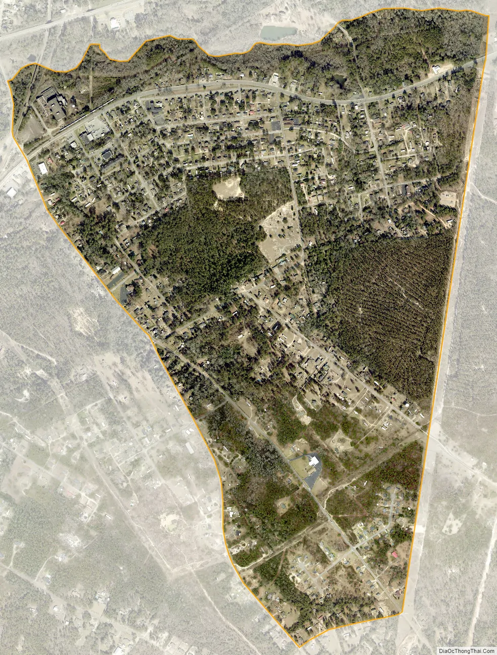
Warrenville city Satellite Map
See also
Map of South Carolina State and its subdivision:- Abbeville
- Aiken
- Allendale
- Anderson
- Bamberg
- Barnwell
- Beaufort
- Berkeley
- Calhoun
- Charleston
- Cherokee
- Chester
- Chesterfield
- Clarendon
- Colleton
- Darlington
- Dillon
- Dorchester
- Edgefield
- Fairfield
- Florence
- Georgetown
- Greenville
- Greenwood
- Hampton
- Horry
- Jasper
- Kershaw
- Lancaster
- Laurens
- Lee
- Lexington
- Marion
- Marlboro
- McCormick
- Newberry
- Oconee
- Orangeburg
- Pickens
- Richland
- Saluda
- Spartanburg
- Sumter
- Union
- Williamsburg
- York
- Alabama
- Alaska
- Arizona
- Arkansas
- California
- Colorado
- Connecticut
- Delaware
- District of Columbia
- Florida
- Georgia
- Hawaii
- Idaho
- Illinois
- Indiana
- Iowa
- Kansas
- Kentucky
- Louisiana
- Maine
- Maryland
- Massachusetts
- Michigan
- Minnesota
- Mississippi
- Missouri
- Montana
- Nebraska
- Nevada
- New Hampshire
- New Jersey
- New Mexico
- New York
- North Carolina
- North Dakota
- Ohio
- Oklahoma
- Oregon
- Pennsylvania
- Rhode Island
- South Carolina
- South Dakota
- Tennessee
- Texas
- Utah
- Vermont
- Virginia
- Washington
- West Virginia
- Wisconsin
- Wyoming