White Hall is a city in Greene County, Illinois, United States. The population was 2,520 at the 2010 census.
| Name: | White Hall city |
|---|---|
| LSAD Code: | 25 |
| LSAD Description: | city (suffix) |
| State: | Illinois |
| County: | Greene County |
| Elevation: | 574 ft (175 m) |
| Total Area: | 2.63 sq mi (6.82 km²) |
| Land Area: | 2.58 sq mi (6.68 km²) |
| Water Area: | 0.06 sq mi (0.15 km²) |
| Total Population: | 2,295 |
| Population Density: | 890.57/sq mi (343.82/km²) |
| Area code: | 217 |
| FIPS code: | 1781256 |
| GNISfeature ID: | 2397302 |
| Website: | www.whitehallcitygov.com |
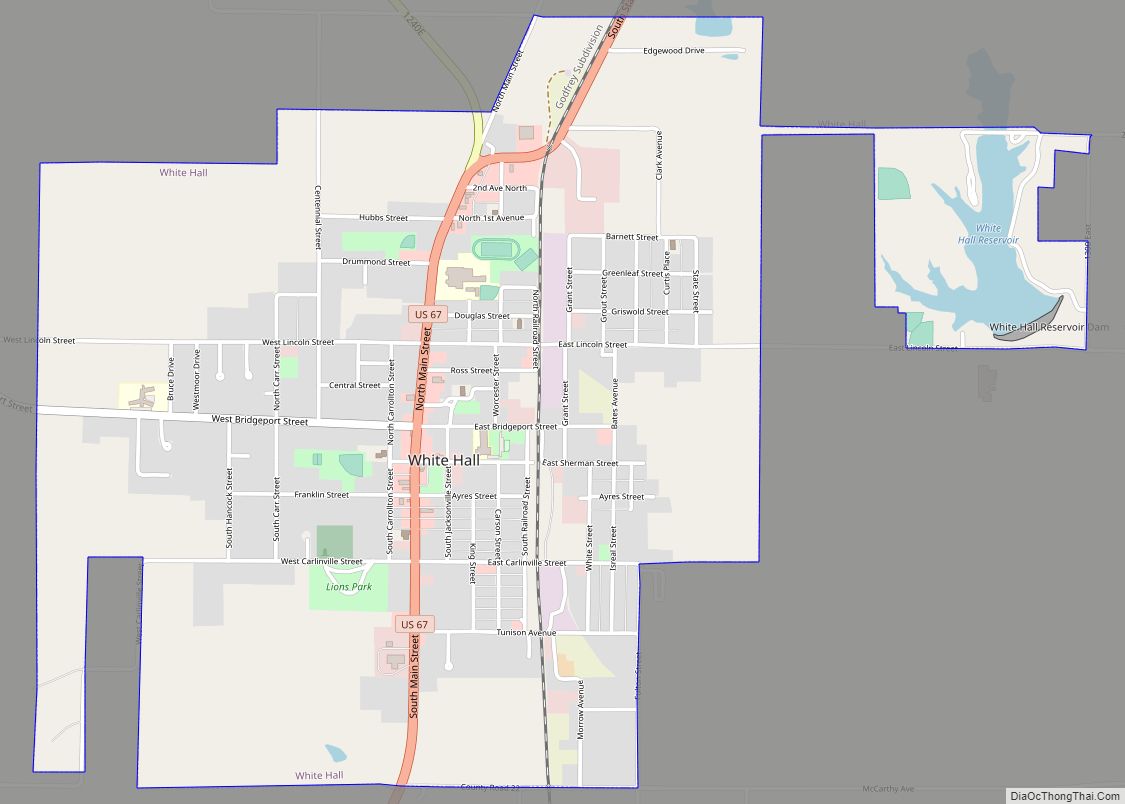
Online Interactive Map
Click on ![]() to view map in "full screen" mode.
to view map in "full screen" mode.
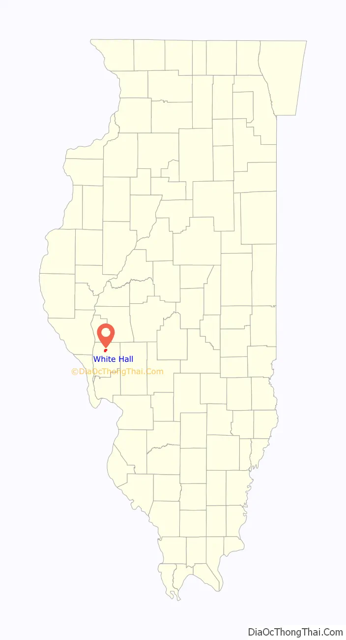
White Hall location map. Where is White Hall city?

History
A post office called White Hall has been in operation since 1827. In 1830 a David Barrow was the first person to built and in location that would become White Hall. Two years later he bought another 80 acres of land at the price of $200 for the purpose of creating the town. Four years later, in 1836 White Hall was official established. This area was the home to a long, white tavern owned by James Allen, which was the only hotel between Carrollton, Illinois and Jacksonville, Illinois. The town got its name from the fact that when a stage was approaching the tavern, the driver would call out “Next stop, the White Hall.”
White Hall became known for pottery as ceramics was historically one of the town’s top industries. Between 1825 and 1948 White Hall had 39 commercial potteries. One of the earliest was established by John Neff Ebey. Other pottery operations included William Heath, George Ebey, David Brunk, the Davis brothers, David Culbertson, A. D. Ruckel, the Vermillion brothers, William Teter, and the White Hall Sewer Pipe & Stoneware Company. Stoneware from A. D. Ruckel’s White Hall Pottery Works and White Hall Sewer Pipe and Stoneware Company remain well known to collectors.
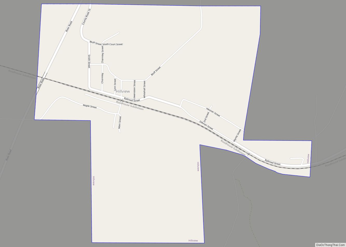
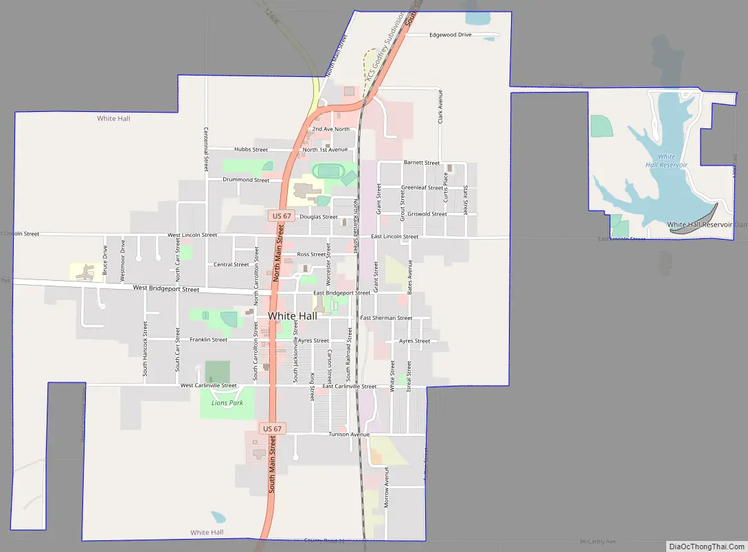
White Hall Road Map
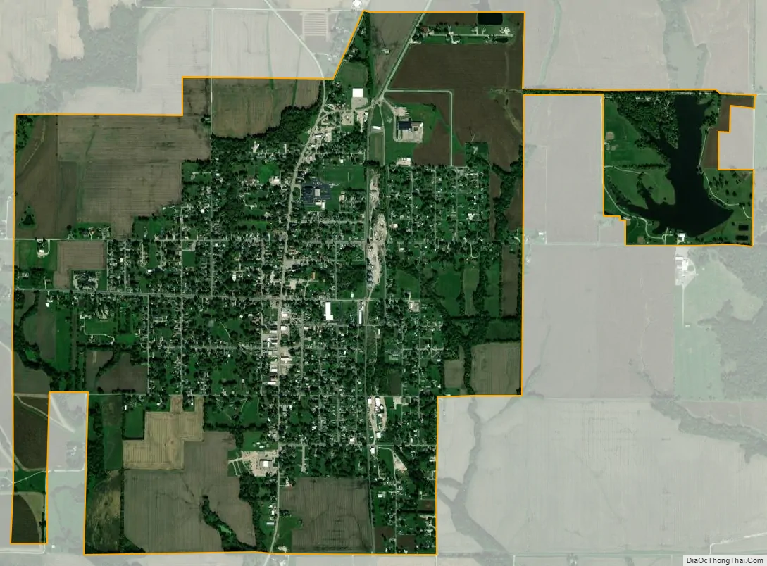
White Hall city Satellite Map
Geography
White Hall is located at 39°26′22″N 90°23′57″W / 39.43944°N 90.39917°W / 39.43944; -90.39917 (39.439466, -90.399248).
According to the 2010 census, White Hall has a total area of 2.637 square miles (6.83 km), of which 2.58 square miles (6.68 km) (or 97.84%) is land and 0.057 square miles (0.15 km) (or 2.16%) is water.
Climate
See also
Map of Illinois State and its subdivision:- Adams
- Alexander
- Bond
- Boone
- Brown
- Bureau
- Calhoun
- Carroll
- Cass
- Champaign
- Christian
- Clark
- Clay
- Clinton
- Coles
- Cook
- Crawford
- Cumberland
- De Kalb
- De Witt
- Douglas
- Dupage
- Edgar
- Edwards
- Effingham
- Fayette
- Ford
- Franklin
- Fulton
- Gallatin
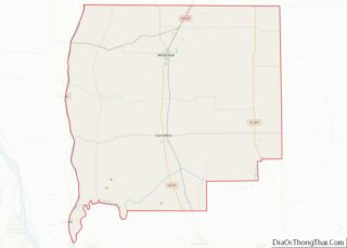
- Greene
- Grundy
- Hamilton
- Hancock
- Hardin
- Henderson
- Henry
- Iroquois
- Jackson
- Jasper
- Jefferson
- Jersey
- Jo Daviess
- Johnson
- Kane
- Kankakee
- Kendall
- Knox
- La Salle
- Lake
- Lake Michigan
- Lawrence
- Lee
- Livingston
- Logan
- Macon
- Macoupin
- Madison
- Marion
- Marshall
- Mason
- Massac
- McDonough
- McHenry
- McLean
- Menard
- Mercer
- Monroe
- Montgomery
- Morgan
- Moultrie
- Ogle
- Peoria
- Perry
- Piatt
- Pike
- Pope
- Pulaski
- Putnam
- Randolph
- Richland
- Rock Island
- Saint Clair
- Saline
- Sangamon
- Schuyler
- Scott
- Shelby
- Stark
- Stephenson
- Tazewell
- Union
- Vermilion
- Wabash
- Warren
- Washington
- Wayne
- White
- Whiteside
- Will
- Williamson
- Winnebago
- Woodford
- Alabama
- Alaska
- Arizona
- Arkansas
- California
- Colorado
- Connecticut
- Delaware
- District of Columbia
- Florida
- Georgia
- Hawaii
- Idaho
- Illinois
- Indiana
- Iowa
- Kansas
- Kentucky
- Louisiana
- Maine
- Maryland
- Massachusetts
- Michigan
- Minnesota
- Mississippi
- Missouri
- Montana
- Nebraska
- Nevada
- New Hampshire
- New Jersey
- New Mexico
- New York
- North Carolina
- North Dakota
- Ohio
- Oklahoma
- Oregon
- Pennsylvania
- Rhode Island
- South Carolina
- South Dakota
- Tennessee
- Texas
- Utah
- Vermont
- Virginia
- Washington
- West Virginia
- Wisconsin
- Wyoming