Outagamie County (/ˌaʊtəˈɡeɪmɪ/) is a county in the Fox Cities region of the U.S. state of Wisconsin, located in the northeast of the state. As of the 2020 Census, the population was 190,705. Its county seat is Appleton.
Outagamie County is included in the Appleton, WI Metropolitan Statistical Area, which is also included in the Appleton-Neenah–Oshkosh, WI Combined Statistical Area. It was named for the historic Meskwaki (Fox) Indians.
| Name: | Outagamie County |
|---|---|
| FIPS code: | 55-087 |
| State: | Wisconsin |
| Founded: | 1852 |
| Seat: | Appleton |
| Largest city: | Appleton |
| Total Area: | 645 sq mi (1,670 km²) |
| Land Area: | 638 sq mi (1,650 km²) |
| Total Population: | 190,705 |
| Population Density: | 300/sq mi (110/km²) |
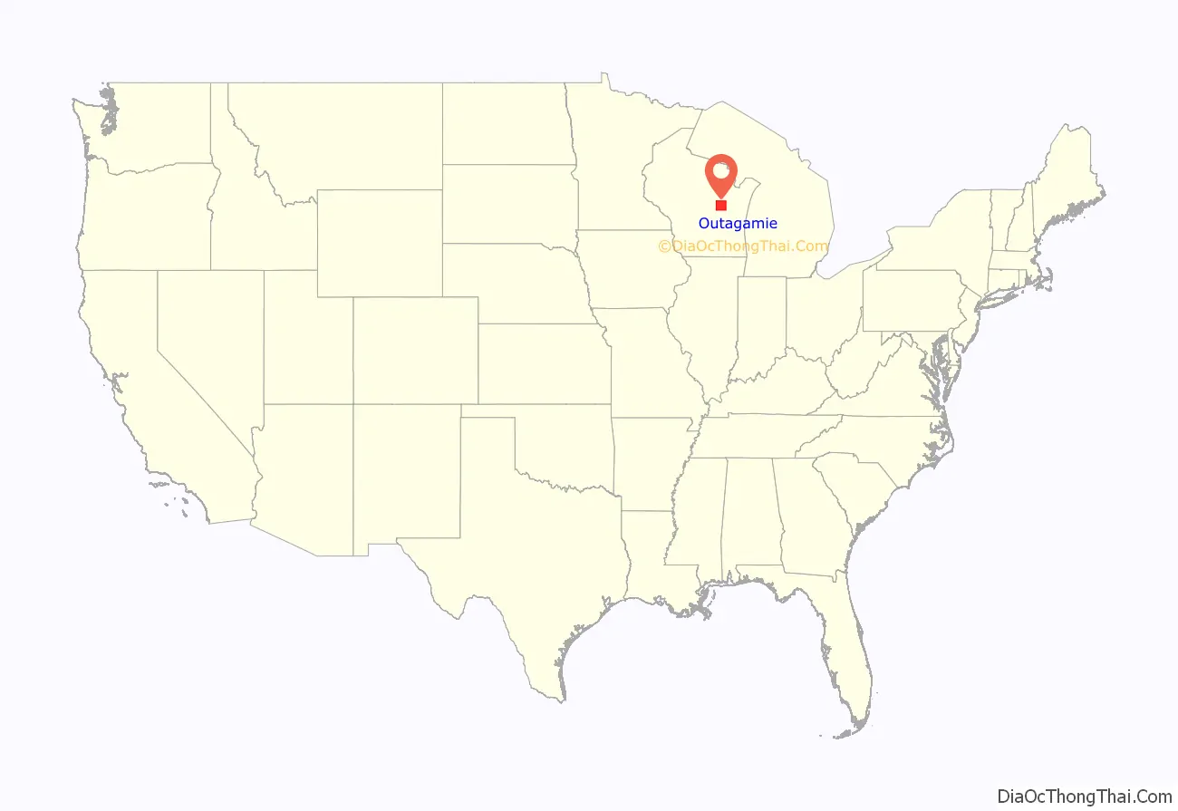
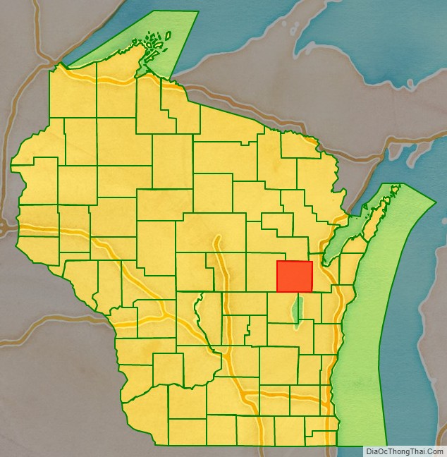
Outagamie County location map. Where is Outagamie County?
History
“Outagamie,” a French transliteration of the Anishinaabe term for the Meskwaki (Fox) Indians, meant “dwellers of other shore” or “dwellers on the other side of the stream,” referring to their historic habitation along the St. Lawrence River and south of the Great Lakes. They had occupied considerable territory in Wisconsin prior to colonization. Outagamie County was created in 1851 and organized in 1852.
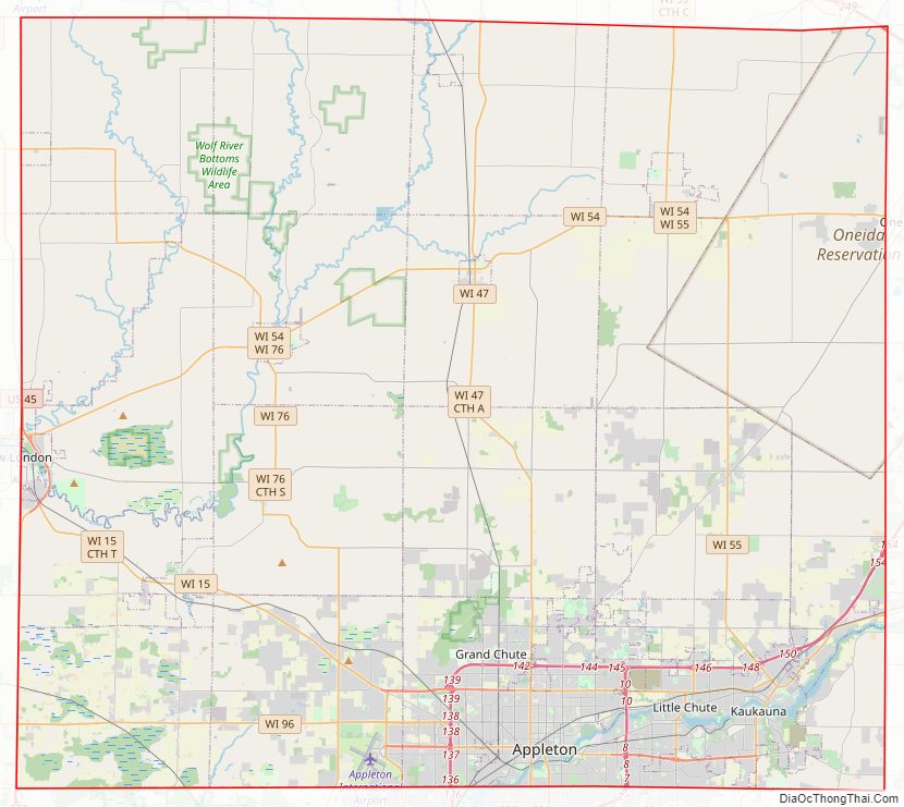
Outagamie County Road Map
Geography
According to the U.S. Census Bureau, the county has a total area of 645 square miles (1,670 km), of which 638 square miles (1,650 km) is land and 7.1 square miles (18 km) (1.1%) is water.
Adjacent counties
- Shawano County – north
- Brown County – east
- Calumet County – southeast
- Winnebago County – southwest
- Waupaca County – west
Rivers
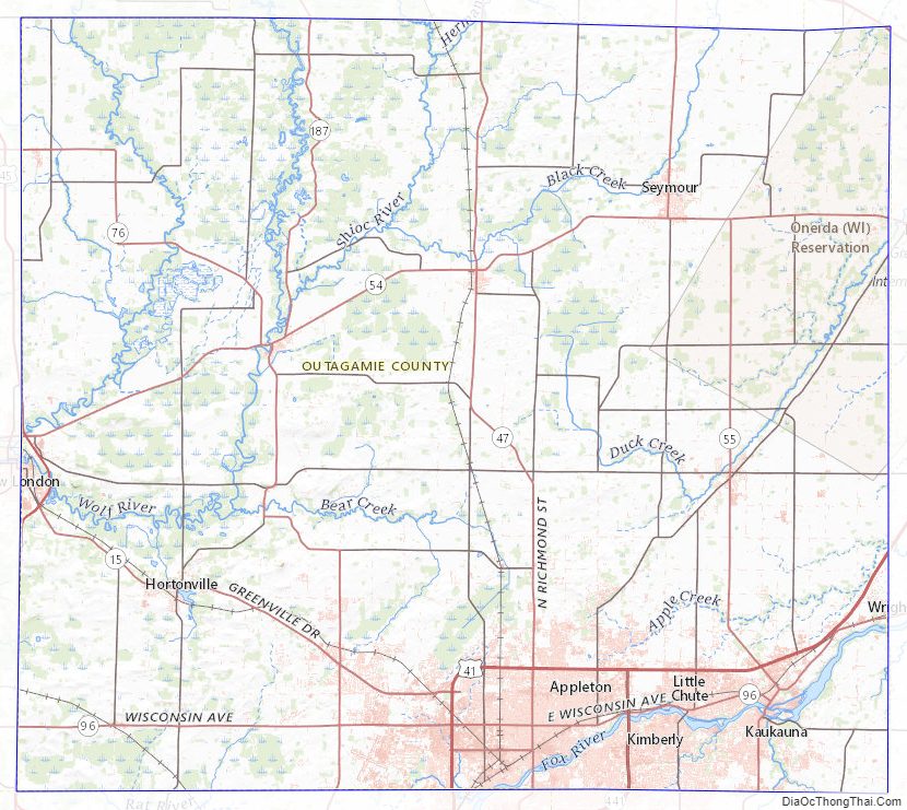
- Wolf River – The Wolf River runs through the city of New London and the village of Shiocton along western half of the county.
- Fox River – The Fox River follows the south-eastern corner of the county, running through the cities of Appleton and Kaukauna
- Shioc River – This river runs merges with the Wolf River in the village of Shiocton.
- Embarrass River – The Embarrass River runs through the city of New London and merges with the Wolf River there.
Lakes
- Black Otter Lake – Located in Hortonville, it receives much recreational use by anglers for being the only lake within the county.
Outagamie County Topographic Map
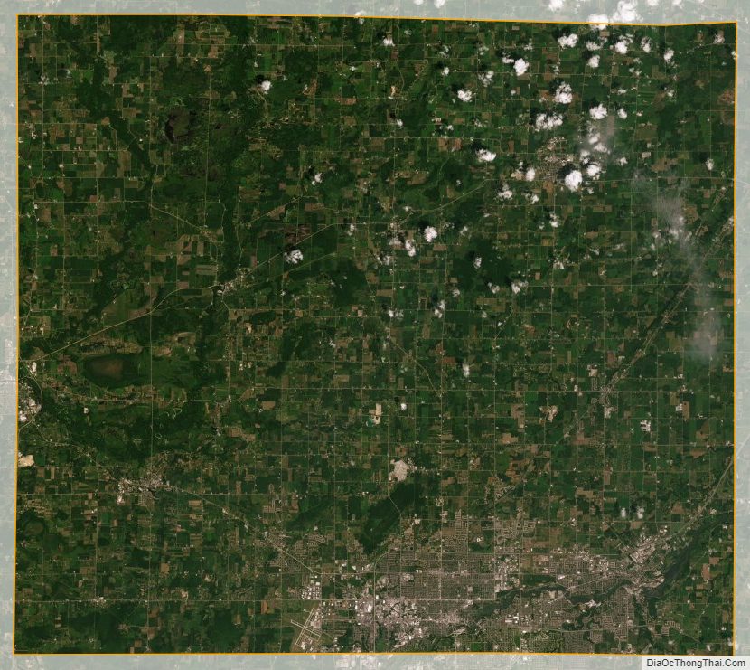
Outagamie County Satellite Map
Outagamie County Outline Map

See also
Map of Wisconsin State and its subdivision:- Adams
- Ashland
- Barron
- Bayfield
- Brown
- Buffalo
- Burnett
- Calumet
- Chippewa
- Clark
- Columbia
- Crawford
- Dane
- Dodge
- Door
- Douglas
- Dunn
- Eau Claire
- Florence
- Fond du Lac
- Forest
- Grant
- Green
- Green Lake
- Iowa
- Iron
- Jackson
- Jefferson
- Juneau
- Kenosha
- Kewaunee
- La Crosse
- Lafayette
- Lake Michigan
- Lake Superior
- Langlade
- Lincoln
- Manitowoc
- Marathon
- Marinette
- Marquette
- Menominee
- Milwaukee
- Monroe
- Oconto
- Oneida
- Outagamie
- Ozaukee
- Pepin
- Pierce
- Polk
- Portage
- Price
- Racine
- Richland
- Rock
- Rusk
- Saint Croix
- Sauk
- Sawyer
- Shawano
- Sheboygan
- Taylor
- Trempealeau
- Vernon
- Vilas
- Walworth
- Washburn
- Washington
- Waukesha
- Waupaca
- Waushara
- Winnebago
- Wood
- Alabama
- Alaska
- Arizona
- Arkansas
- California
- Colorado
- Connecticut
- Delaware
- District of Columbia
- Florida
- Georgia
- Hawaii
- Idaho
- Illinois
- Indiana
- Iowa
- Kansas
- Kentucky
- Louisiana
- Maine
- Maryland
- Massachusetts
- Michigan
- Minnesota
- Mississippi
- Missouri
- Montana
- Nebraska
- Nevada
- New Hampshire
- New Jersey
- New Mexico
- New York
- North Carolina
- North Dakota
- Ohio
- Oklahoma
- Oregon
- Pennsylvania
- Rhode Island
- South Carolina
- South Dakota
- Tennessee
- Texas
- Utah
- Vermont
- Virginia
- Washington
- West Virginia
- Wisconsin
- Wyoming