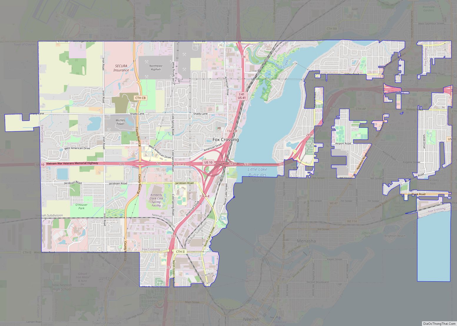
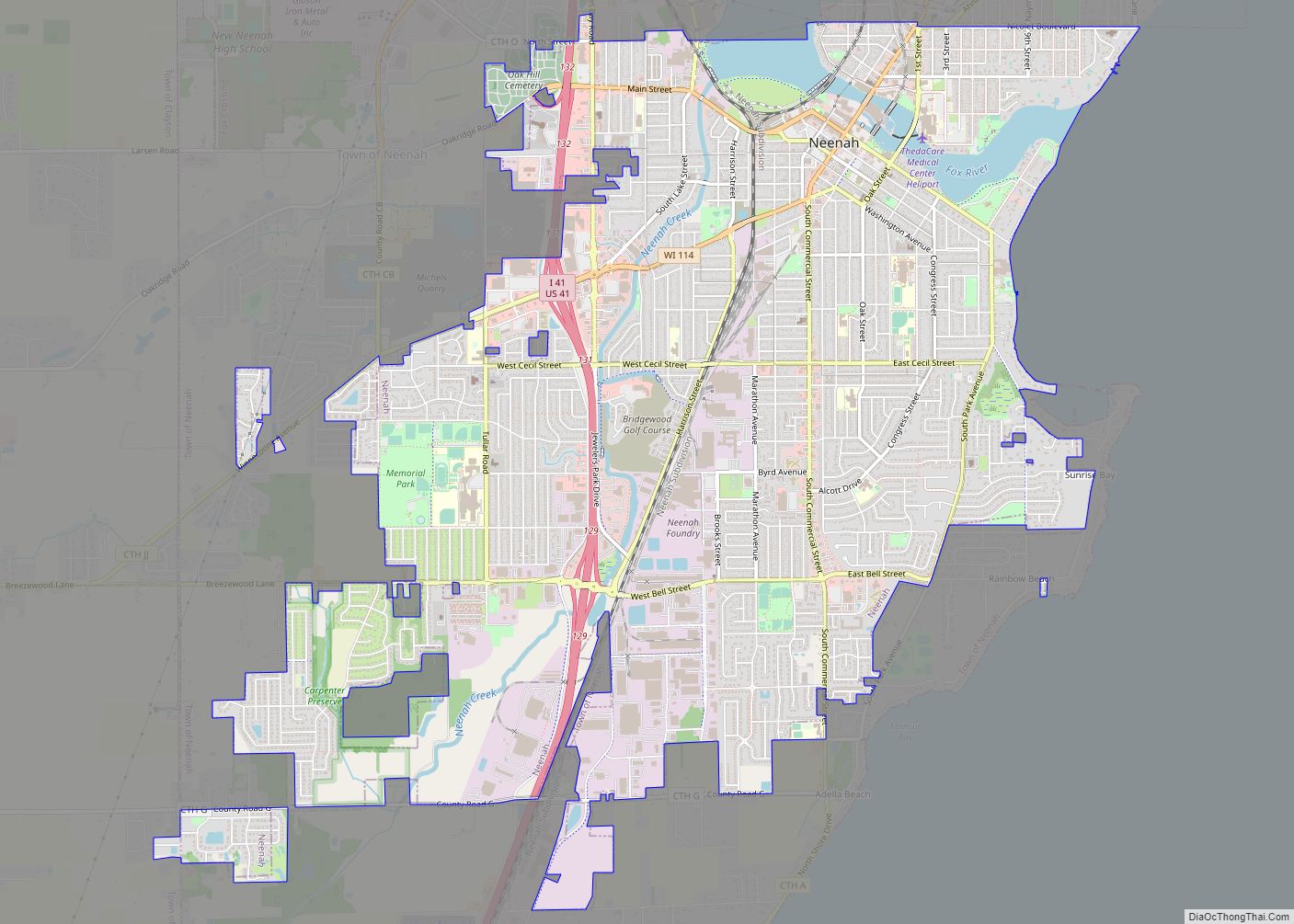
Neenah (/ˈniːnə/) is a city in Winnebago County, Wisconsin, in the north central United States. It is situated on the banks of Lake Winnebago, Little Lake Butte des Morts, and the Fox River, approximately forty miles (64 km) southwest of Green Bay. Neenah’s population was 27,319 at the 2020 census.
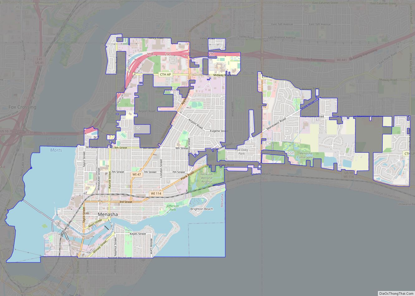
Neenah is bordered by the Town of Neenah. The city is the southwesternmost of the Fox Cities of northeast Wisconsin. It is the smaller of the two principal cities of the Oshkosh-Neenah Metropolitan Statistical Area, which is included in the Appleton-Oshkosh-Neenah Combined Statistical Area. It is sometimes referred to as a twin city with Menasha, with which it shares Doty Island.
| Name: | Neenah city |
|---|---|
| LSAD Code: | 25 |
| LSAD Description: | city (suffix) |
| State: | Wisconsin |
| County: | Winnebago County |
| Elevation: | 750 ft (230 m) |
| Total Area: | 9.74 sq mi (25.24 km²) |
| Land Area: | 9.37 sq mi (24.27 km²) |
| Water Area: | 0.37 sq mi (0.96 km²) |
| Total Population: | 27,319 |
| Population Density: | 2,915/sq mi (1,125.6/km²) |
| ZIP code: | 54956 |
| Area code: | 920 |
| FIPS code: | 5555750 |
| Website: | www.ci.neenah.wi.us |
Online Interactive Map
Click on ![]() to view map in "full screen" mode.
to view map in "full screen" mode.
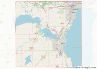
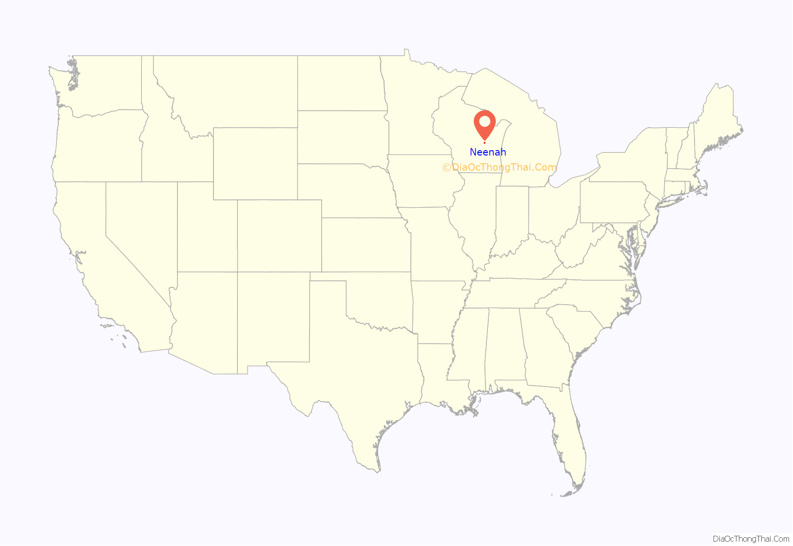
Neenah location map. Where is Neenah city?

History
Neenah was named by Governor James Duane Doty from the Hoocąk word for “water” or “running water”. It was the site of a Ho-Chunk village in the late 18th century. It is Nįįňą in the Hoocąk language.
The government initially designated this area in 1835 as an industrial and agricultural mission to the Menominee Indians of the area. Early settlement by European Americans began a few years later, stimulated in large part by the proximity of the area to the Fox River.
Kimberly-Clark corporation was formed here in 1872. It founded a major paper mill here in 1873, as the region had become a center of lumbering. Profits from lumber stimulated the development of businesses and a variety of professions. Some people relocated to Neenah after the disastrous fire in Oshkosh in 1875.
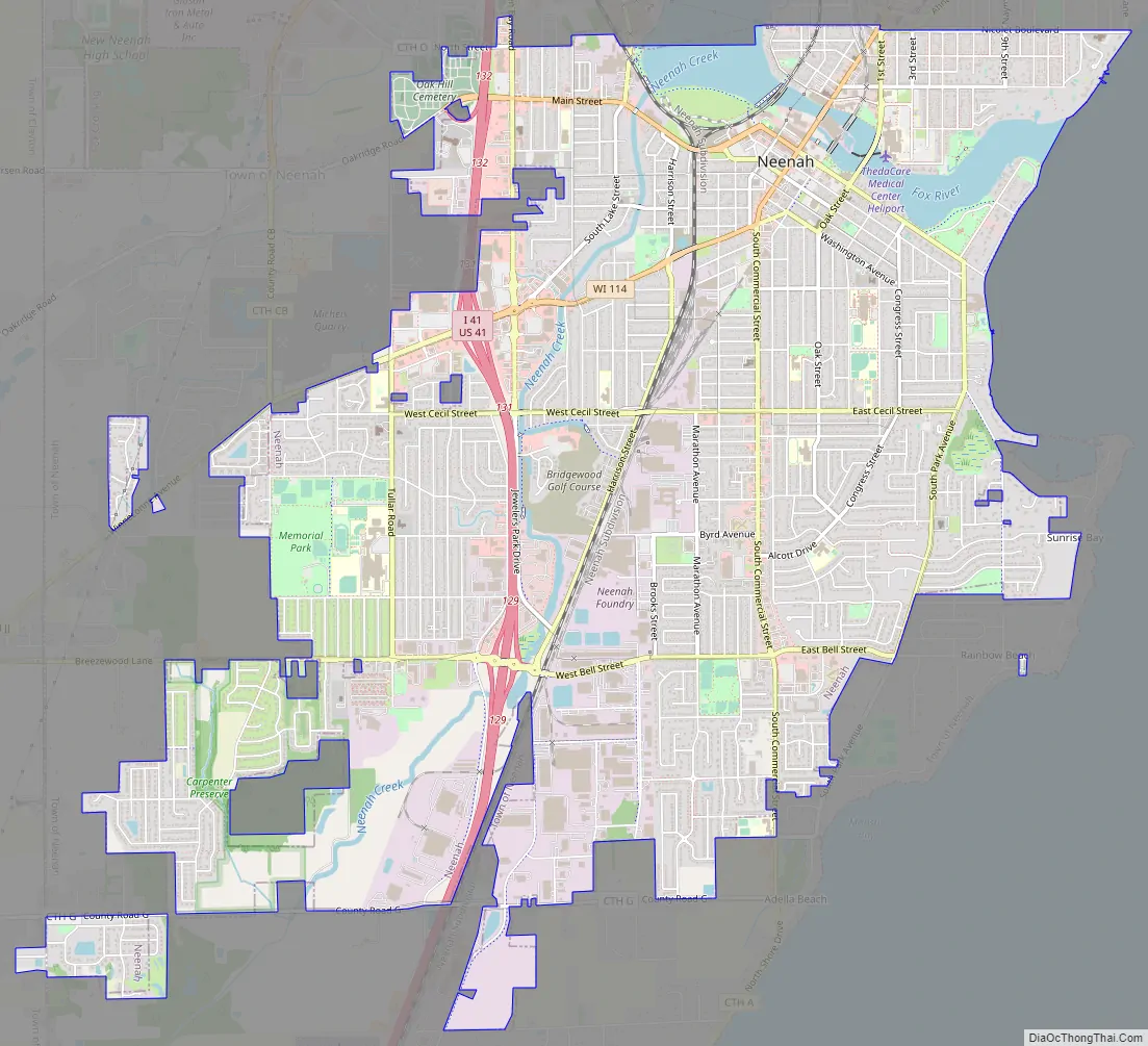
Neenah Road Map
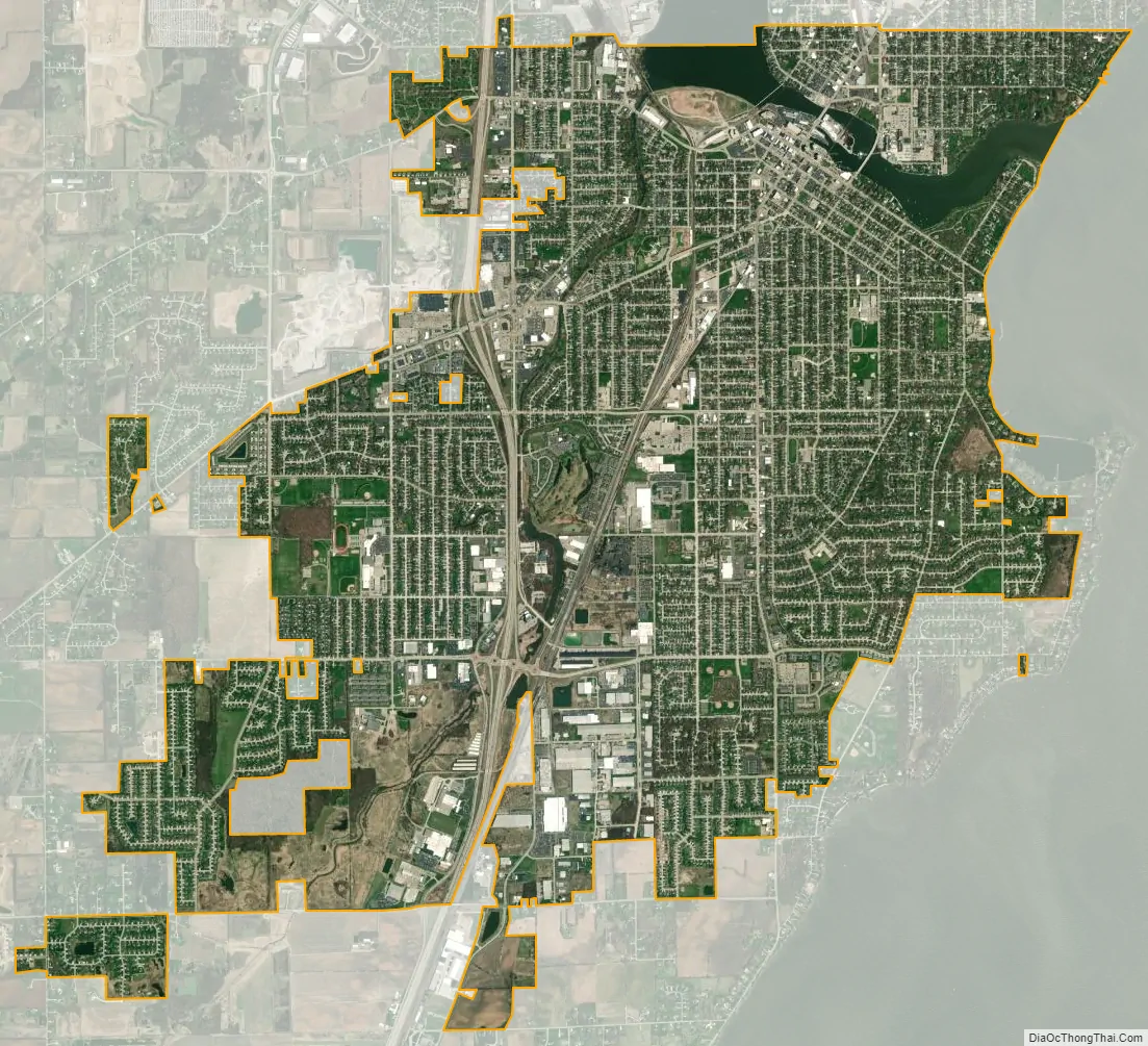
Neenah city Satellite Map
Geography
Neenah is located at 44°10′26″N 88°28′6″W / 44.17389°N 88.46833°W / 44.17389; -88.46833 (44.174035, −88.468508).
According to the United States Census Bureau, the city has a total area of 9.74 square miles (25.23 km), of which, 9.37 square miles (24.27 km) is land and 0.37 square miles (0.96 km) is water.
See also
Map of Wisconsin State and its subdivision:- Adams
- Ashland
- Barron
- Bayfield
- Brown
- Buffalo
- Burnett
- Calumet
- Chippewa
- Clark
- Columbia
- Crawford
- Dane
- Dodge
- Door
- Douglas
- Dunn
- Eau Claire
- Florence
- Fond du Lac
- Forest
- Grant
- Green
- Green Lake
- Iowa
- Iron
- Jackson
- Jefferson
- Juneau
- Kenosha
- Kewaunee
- La Crosse
- Lafayette
- Lake Michigan
- Lake Superior
- Langlade
- Lincoln
- Manitowoc
- Marathon
- Marinette
- Marquette
- Menominee
- Milwaukee
- Monroe
- Oconto
- Oneida
- Outagamie
- Ozaukee
- Pepin
- Pierce
- Polk
- Portage
- Price
- Racine
- Richland
- Rock
- Rusk
- Saint Croix
- Sauk
- Sawyer
- Shawano
- Sheboygan
- Taylor
- Trempealeau
- Vernon
- Vilas
- Walworth
- Washburn
- Washington
- Waukesha
- Waupaca
- Waushara
- Winnebago
- Wood
- Alabama
- Alaska
- Arizona
- Arkansas
- California
- Colorado
- Connecticut
- Delaware
- District of Columbia
- Florida
- Georgia
- Hawaii
- Idaho
- Illinois
- Indiana
- Iowa
- Kansas
- Kentucky
- Louisiana
- Maine
- Maryland
- Massachusetts
- Michigan
- Minnesota
- Mississippi
- Missouri
- Montana
- Nebraska
- Nevada
- New Hampshire
- New Jersey
- New Mexico
- New York
- North Carolina
- North Dakota
- Ohio
- Oklahoma
- Oregon
- Pennsylvania
- Rhode Island
- South Carolina
- South Dakota
- Tennessee
- Texas
- Utah
- Vermont
- Virginia
- Washington
- West Virginia
- Wisconsin
- Wyoming