Hortonville is a village in Outagamie County, Wisconsin, United States. The population was 2,711 at the 2010 census.
Hortonville is located in the Fox Cities region and the Appleton-Oshkosh-Neenah, WI CSA, the third largest metropolitan area in Wisconsin.
| Name: | Hortonville village |
|---|---|
| LSAD Code: | 47 |
| LSAD Description: | village (suffix) |
| State: | Wisconsin |
| County: | Outagamie County |
| Elevation: | 794 ft (242 m) |
| Total Area: | 3.47 sq mi (8.99 km²) |
| Land Area: | 3.39 sq mi (8.78 km²) |
| Water Area: | 0.08 sq mi (0.20 km²) |
| Total Population: | 2,711 |
| Population Density: | 858.49/sq mi (331.47/km²) |
| Area code: | 920 |
| FIPS code: | 5535850 |
| GNISfeature ID: | 1566752 |
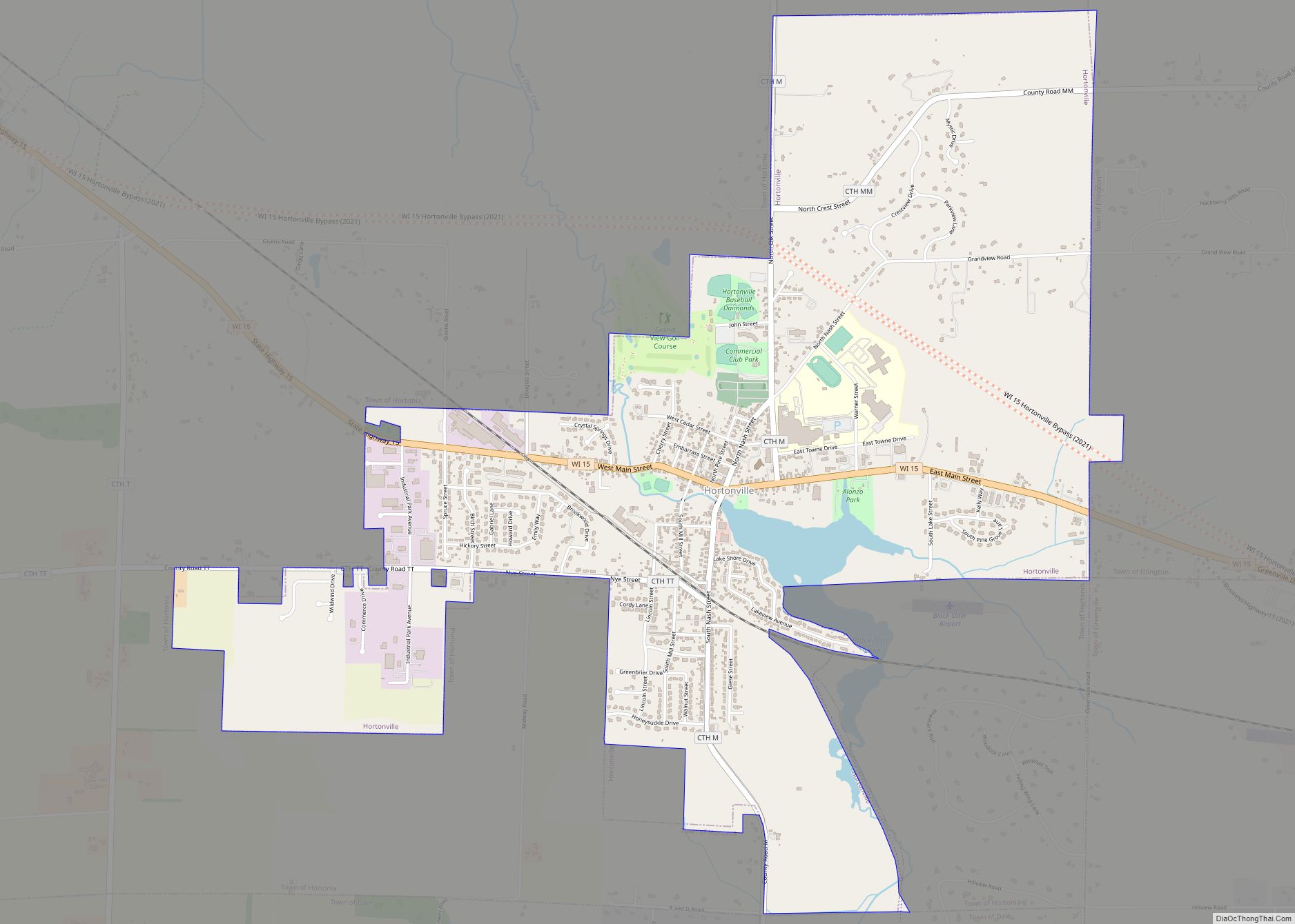
Online Interactive Map
Click on ![]() to view map in "full screen" mode.
to view map in "full screen" mode.
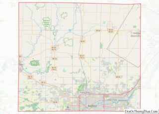
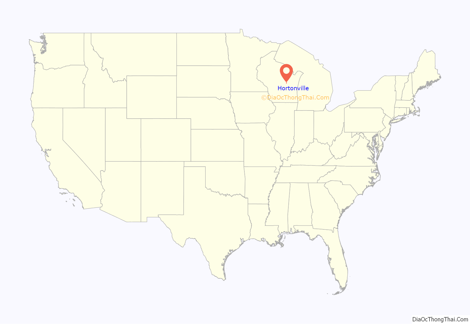
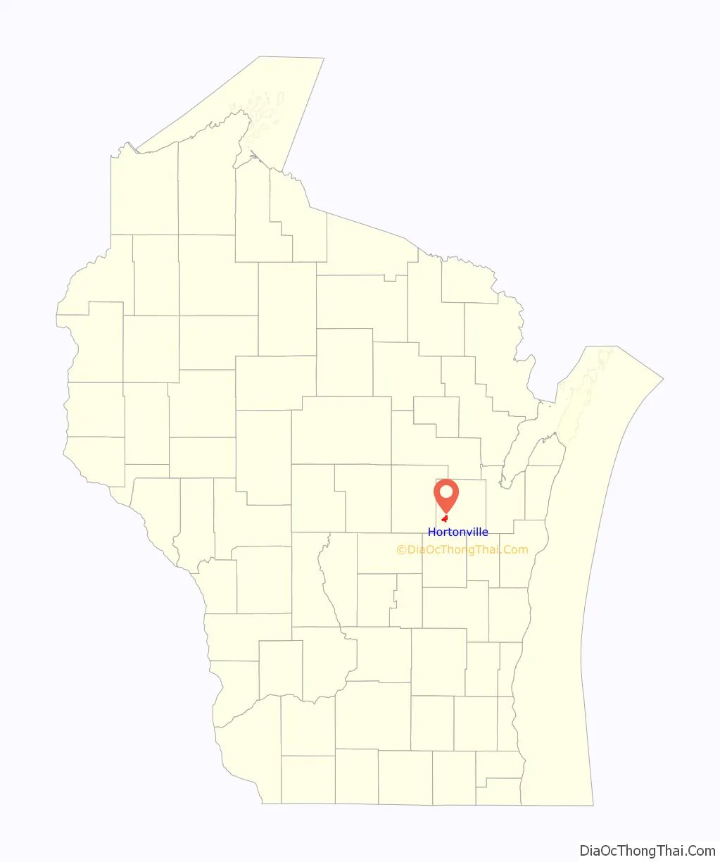
Hortonville location map. Where is Hortonville village?
History
In 1848, a man by the name of Alonzo Horton purchased 1,500 acres from the governor of Wisconsin, now known as the Town of Hortonia and the Village of Hortonville, for only 70 cents per acre. The first thing Horton did was build a cabin; by damming the Black Otter Creek, which created the 75-acre (300,000 m) Black Otter Lake. After laying out a plat for the community by buying land and platting it off in 1849, Horton was swayed westward by the California Gold Rush. He later developed the city of San Diego, California.
On August 11, 1894, the settlement was incorporated as the Village of Hortonville. At that time, it had one of the first match light factories in the world.
2 Feature films were said to take place in Hortonville, WI. 1944 “Janie” and 1947 “Janie gets married”.
During World War II, a German POW camp was established in Hortonville along County Hwy MM on the north side of the village.
On March 18, 1974, the teachers at the Hortonville Community School went on strike, an event that received national news coverage.
In 1981, the Hortonville Community Hall, now known as the Hortonville Opera House, was added to the National Register of Historic Places.
Hortonville Road Map
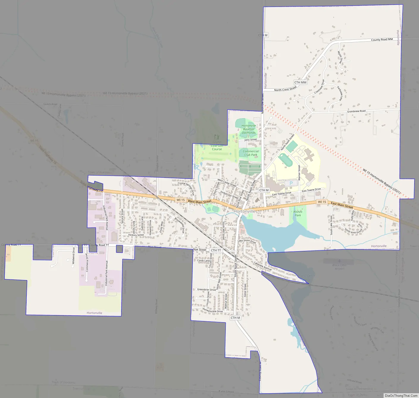
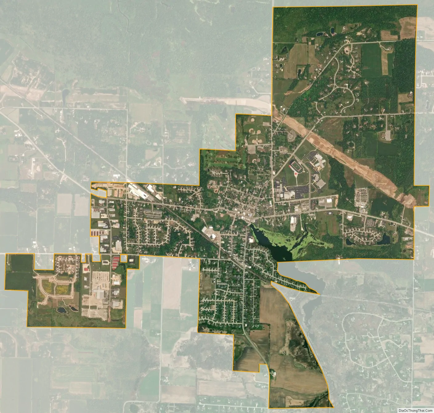
Hortonville city Satellite Map
Geography
Hortonville is located at 44°20′7″N 88°38′20″W / 44.33528°N 88.63889°W / 44.33528; -88.63889 (44.335196, -88.638847).
According to the United States Census Bureau, the village has a total area of 3.55 square miles (9.19 km), of which, 3.47 square miles (8.99 km) of it is land and 0.08 square miles (0.21 km) is water.
Black Otter Lake
The community is located on the shores of the 75-acre (300,000 m) Black Otter Lake. It is drained by Black Otter Creek, which flows into the Wolf River just north of the village. The total watershed for the lake is estimated to be 16 square miles (41 km).
The Black Otter is the only public access lake in Outagamie County. Because of this, it receives substantial recreational use, primarily by anglers, throughout the year. Fish species in the lake include: bluegill, largemouth bass, black crappie, yellow perch, northern pike and catfish.
The village maintains: two public boat launches, a kayak launch, fishing pier and three parks along the shores of the lake.
Wolf River
The village is located approximately 2 miles south of the Wolf River. Buchman Access, a public boat launch, is located along County M. The river is also the border between the Town of Hortonia and the Town of Liberty.
See also
Map of Wisconsin State and its subdivision:- Adams
- Ashland
- Barron
- Bayfield
- Brown
- Buffalo
- Burnett
- Calumet
- Chippewa
- Clark
- Columbia
- Crawford
- Dane
- Dodge
- Door
- Douglas
- Dunn
- Eau Claire
- Florence
- Fond du Lac
- Forest
- Grant
- Green
- Green Lake
- Iowa
- Iron
- Jackson
- Jefferson
- Juneau
- Kenosha
- Kewaunee
- La Crosse
- Lafayette
- Lake Michigan
- Lake Superior
- Langlade
- Lincoln
- Manitowoc
- Marathon
- Marinette
- Marquette
- Menominee
- Milwaukee
- Monroe
- Oconto
- Oneida
- Outagamie
- Ozaukee
- Pepin
- Pierce
- Polk
- Portage
- Price
- Racine
- Richland
- Rock
- Rusk
- Saint Croix
- Sauk
- Sawyer
- Shawano
- Sheboygan
- Taylor
- Trempealeau
- Vernon
- Vilas
- Walworth
- Washburn
- Washington
- Waukesha
- Waupaca
- Waushara
- Winnebago
- Wood
- Alabama
- Alaska
- Arizona
- Arkansas
- California
- Colorado
- Connecticut
- Delaware
- District of Columbia
- Florida
- Georgia
- Hawaii
- Idaho
- Illinois
- Indiana
- Iowa
- Kansas
- Kentucky
- Louisiana
- Maine
- Maryland
- Massachusetts
- Michigan
- Minnesota
- Mississippi
- Missouri
- Montana
- Nebraska
- Nevada
- New Hampshire
- New Jersey
- New Mexico
- New York
- North Carolina
- North Dakota
- Ohio
- Oklahoma
- Oregon
- Pennsylvania
- Rhode Island
- South Carolina
- South Dakota
- Tennessee
- Texas
- Utah
- Vermont
- Virginia
- Washington
- West Virginia
- Wisconsin
- Wyoming