New London is a city in Outagamie and Waupaca counties Wisconsin, United States. Founded in 1851, the population was 7,295 at the 2010 census. Of this, 5,685 were in Waupaca County, and 1,640 were in Outagamie County. The city has an annual Saint Patrick’s Day Parade, Irish Fest, and week-long festivities, when the city’s name is changed to “New Dublin” for the week.
The American Water Spaniel was developed as a registered breed by F. J. Pfeifer of New London. It was named the state dog in 1986.
| Name: | New London city |
|---|---|
| LSAD Code: | 25 |
| LSAD Description: | city (suffix) |
| State: | Wisconsin |
| County: | Outagamie County, Waupaca County |
| Elevation: | 768 ft (234 m) |
| Total Area: | 5.80 sq mi (15.02 km²) |
| Land Area: | 5.57 sq mi (14.43 km²) |
| Water Area: | 0.23 sq mi (0.58 km²) |
| Total Population: | 7,295 |
| Population Density: | 1,272.79/sq mi (491.40/km²) |
| Area code: | 920 |
| FIPS code: | 5556925 |
| GNISfeature ID: | 1570226 |
| Website: | www.newlondonwi.org |
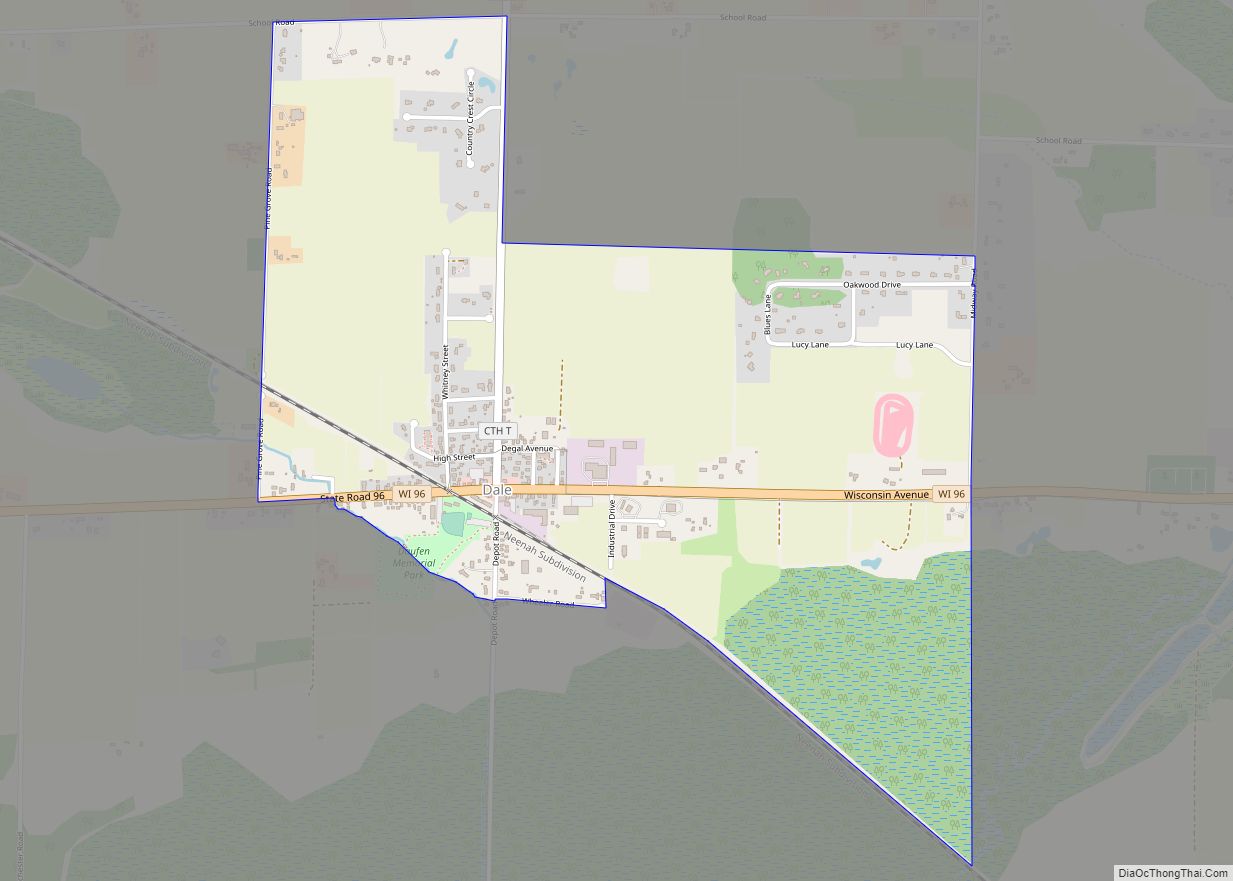
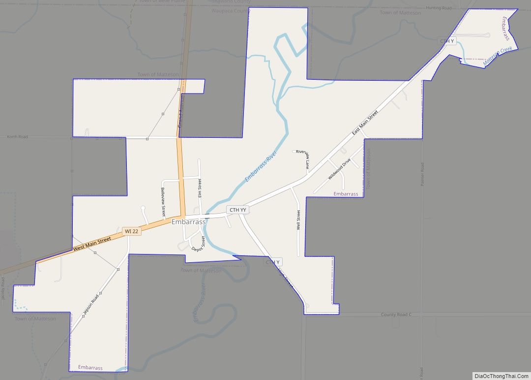
Online Interactive Map
Click on ![]() to view map in "full screen" mode.
to view map in "full screen" mode.
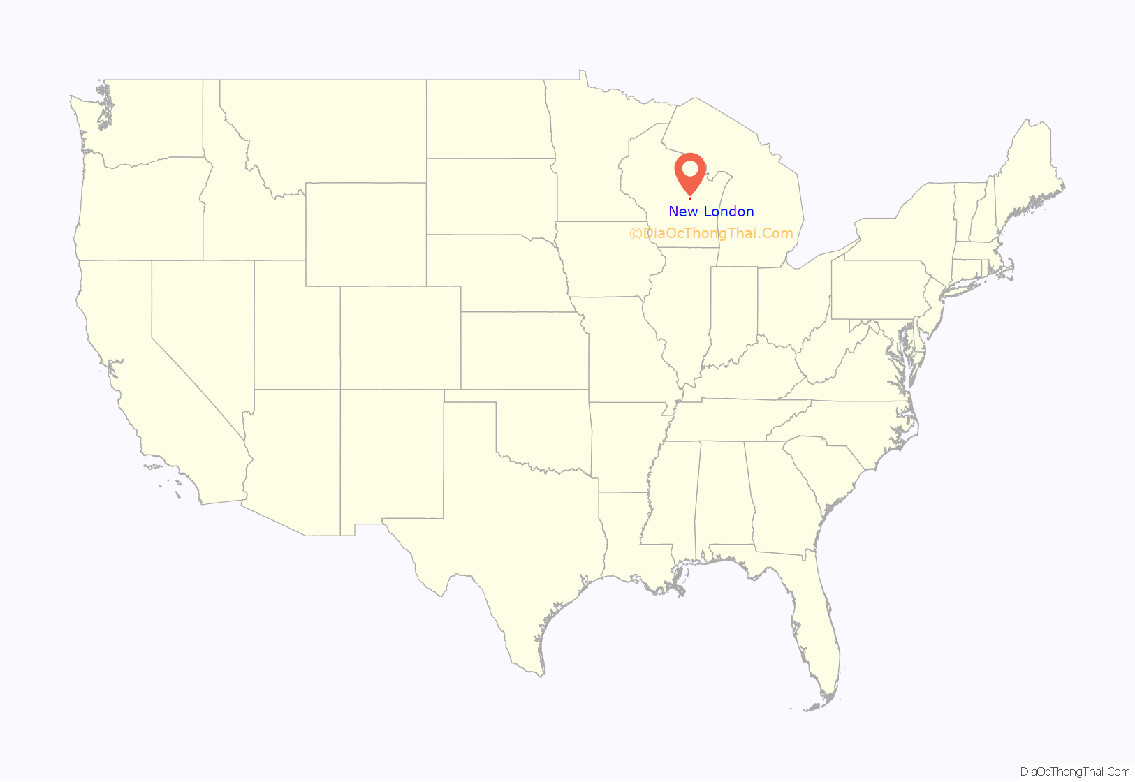
New London location map. Where is New London city?
History
For thousands of years, this area was occupied by successive indigenous cultures. Some were known as moundbuilders, constructing a reported 72 earthworks near what is now Taylor Lake in the county, including many effigy mounds. Their descendants included the Menominee, who lived here for thousands of years. In the Menominee language this place is known as Sakēmāēwataenoh, meaning “mosquito place”, likely due to its riverside location. The Menominee sold this land to the United States in the 1836 Treaty of the Cedars, which saw over four million acres of land in Wisconsin sold after years of negotiation about how to accommodate the Oneida, Stockbridge-Munsee, and Brothertown peoples who were being removed from New York to Wisconsin.
Following the treaty which made the land available for purchase, New London was established by European-American settlers in 1852 and was named after New London, Connecticut by Reeder Smith, a founder whose father was from there. Reeder Smith built the plank road between Appleton and Stevens Point. New London became a lumber center and the terminus of steamboats plying the Wolf River from Oshkosh.
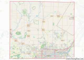
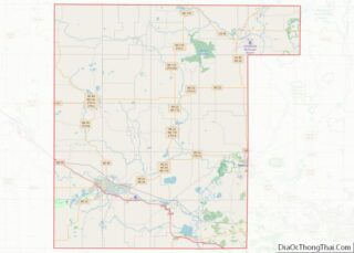
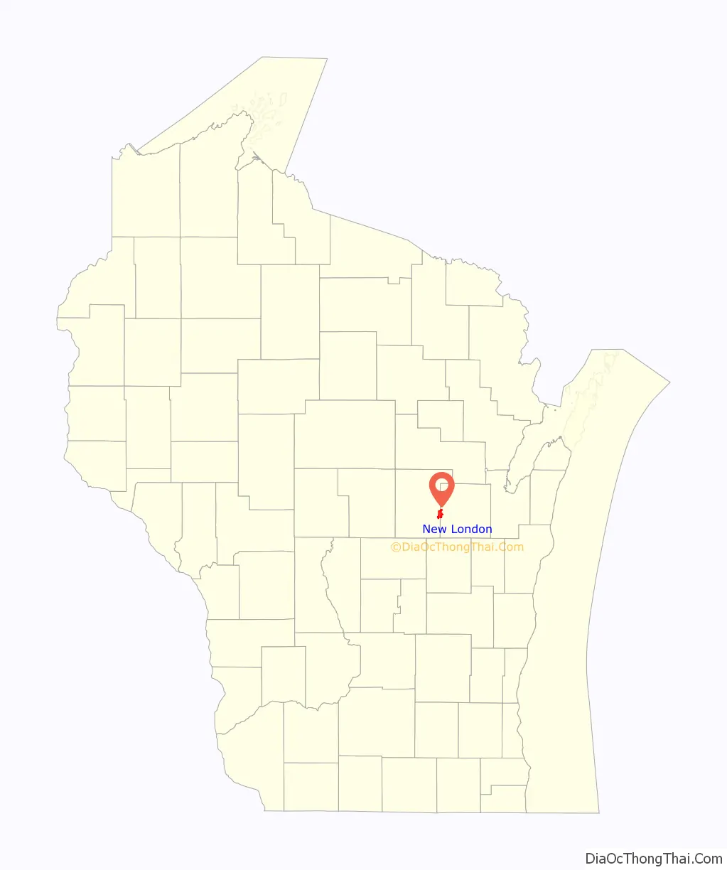
New London Road Map

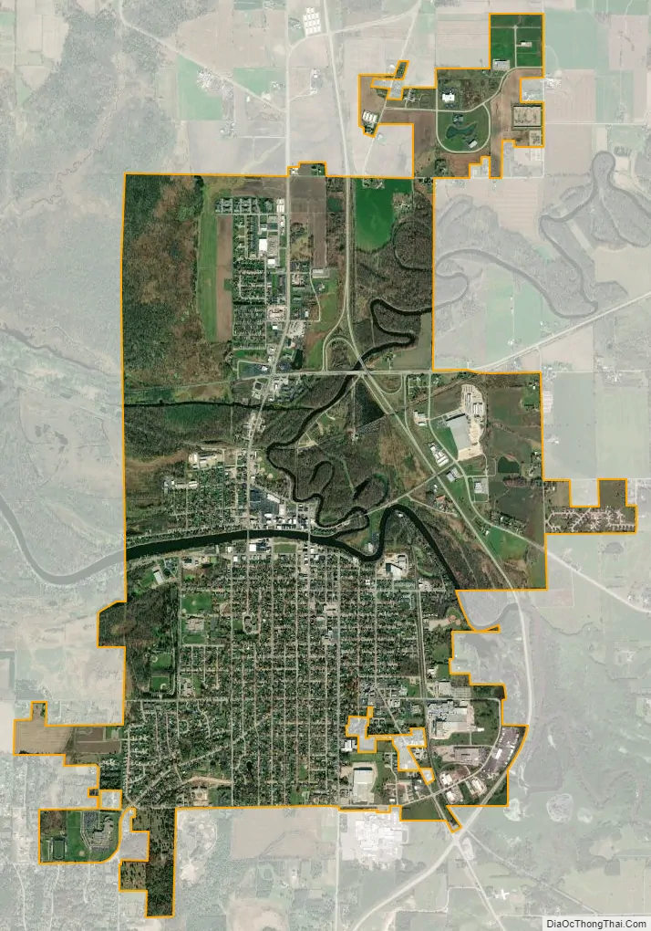
New London city Satellite Map
Geography
New London is located at 44°23′14″N 88°44′25″W / 44.38722°N 88.74028°W / 44.38722; -88.74028 (44.387142, -88.740140). According to the United States Census Bureau, the city has a total area of 5.78 square miles (14.97 km), of which, 5.55 square miles (14.37 km) is land and 0.23 square miles (0.60 km) is water. New London sits on both the Wolf and Embarrass Rivers, making it a destination for boaters and fishermen.
See also
Map of Wisconsin State and its subdivision:- Adams
- Ashland
- Barron
- Bayfield
- Brown
- Buffalo
- Burnett
- Calumet
- Chippewa
- Clark
- Columbia
- Crawford
- Dane
- Dodge
- Door
- Douglas
- Dunn
- Eau Claire
- Florence
- Fond du Lac
- Forest
- Grant
- Green
- Green Lake
- Iowa
- Iron
- Jackson
- Jefferson
- Juneau
- Kenosha
- Kewaunee
- La Crosse
- Lafayette
- Lake Michigan
- Lake Superior
- Langlade
- Lincoln
- Manitowoc
- Marathon
- Marinette
- Marquette
- Menominee
- Milwaukee
- Monroe
- Oconto
- Oneida
- Outagamie
- Ozaukee
- Pepin
- Pierce
- Polk
- Portage
- Price
- Racine
- Richland
- Rock
- Rusk
- Saint Croix
- Sauk
- Sawyer
- Shawano
- Sheboygan
- Taylor
- Trempealeau
- Vernon
- Vilas
- Walworth
- Washburn
- Washington
- Waukesha
- Waupaca
- Waushara
- Winnebago
- Wood
- Alabama
- Alaska
- Arizona
- Arkansas
- California
- Colorado
- Connecticut
- Delaware
- District of Columbia
- Florida
- Georgia
- Hawaii
- Idaho
- Illinois
- Indiana
- Iowa
- Kansas
- Kentucky
- Louisiana
- Maine
- Maryland
- Massachusetts
- Michigan
- Minnesota
- Mississippi
- Missouri
- Montana
- Nebraska
- Nevada
- New Hampshire
- New Jersey
- New Mexico
- New York
- North Carolina
- North Dakota
- Ohio
- Oklahoma
- Oregon
- Pennsylvania
- Rhode Island
- South Carolina
- South Dakota
- Tennessee
- Texas
- Utah
- Vermont
- Virginia
- Washington
- West Virginia
- Wisconsin
- Wyoming