Cabot is the largest city in Lonoke County, Arkansas, United States, and a suburb of Little Rock. As of the 2010 census, the population of the city was 23,776, and in 2019 the population was an estimated 26,352, ranking it as the state’s 19th largest city, behind Jacksonville. It is part of the Little Rock–North Little Rock–Conway Metropolitan Statistical Area.
| Name: | Cabot city |
|---|---|
| LSAD Code: | 25 |
| LSAD Description: | city (suffix) |
| State: | Arkansas |
| County: | Lonoke County |
| Founded: | 1873 |
| Incorporated: | 1891 |
| Elevation: | 299 ft (91 m) |
| Land Area: | 20.68 sq mi (53.57 km²) |
| Water Area: | 0.10 sq mi (0.25 km²) |
| Population Density: | 1,284.58/sq mi (495.99/km²) |
| ZIP code: | 72023 |
| Area code: | 501 |
| FIPS code: | 0510300 |
| GNISfeature ID: | 0057487 |
| Website: | www.cabotar.gov |
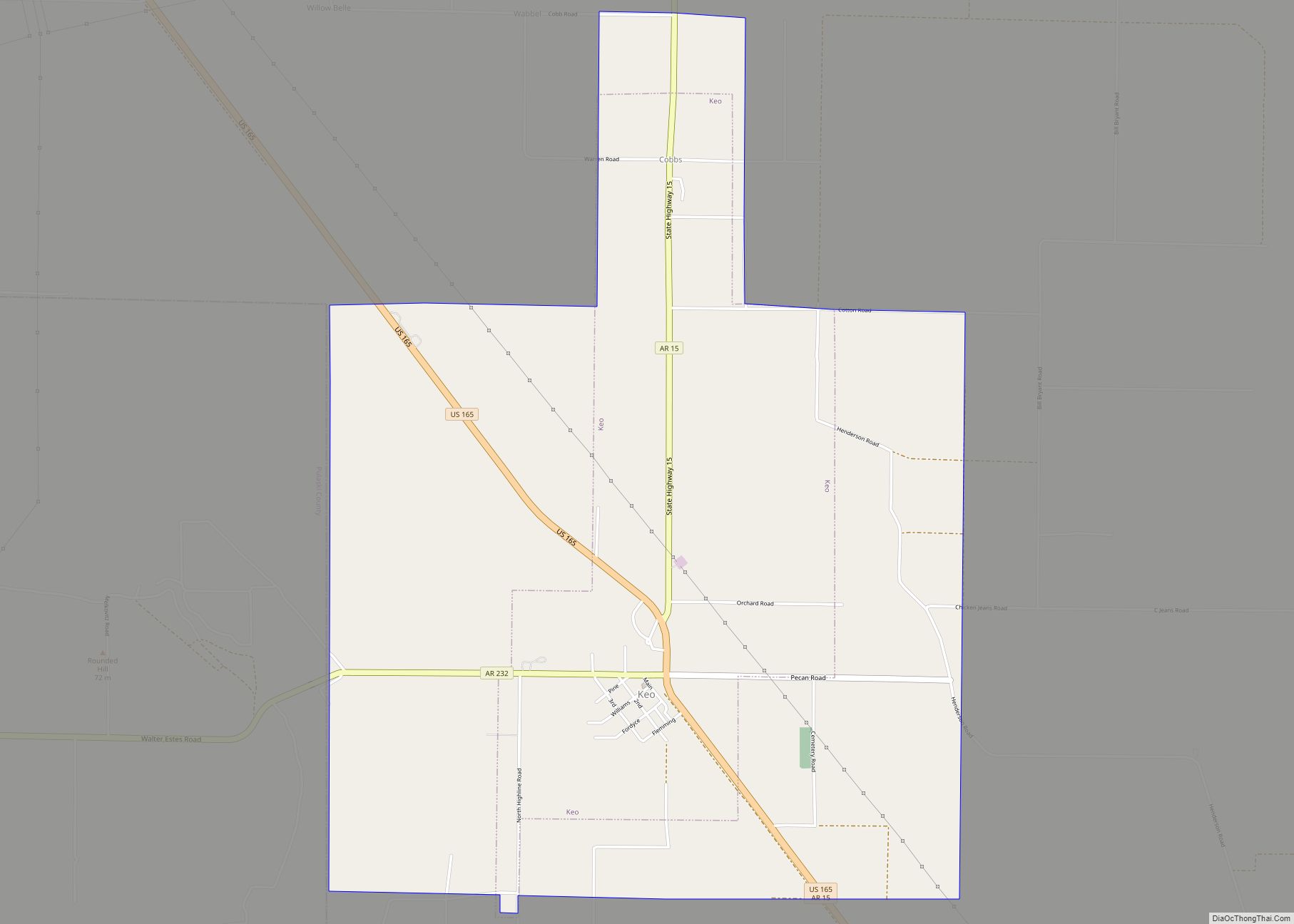
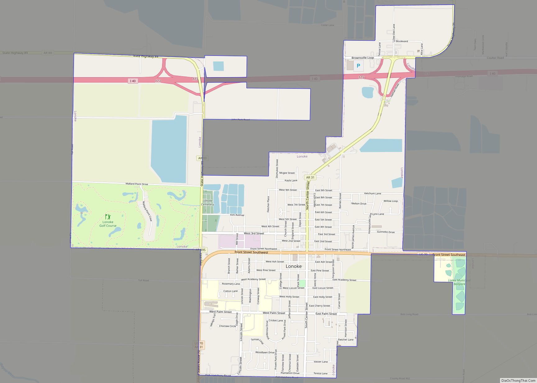
Online Interactive Map
Click on ![]() to view map in "full screen" mode.
to view map in "full screen" mode.
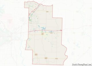
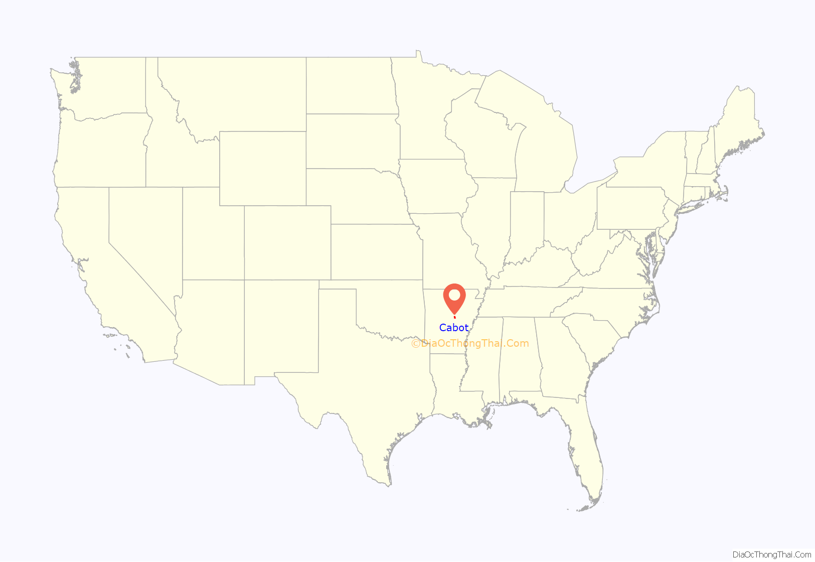
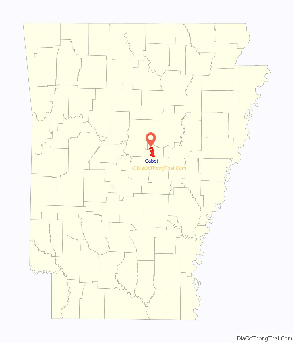
Cabot location map. Where is Cabot city?
History
Prior to settlement
Before the city of Cabot existed, an 1862 typhoid epidemic took the lives of about 1,500 Confederate soldiers previously under Allison Nelson who were camped in the hills surrounding Cabot and its neighbor, Austin. In 1905, 428 poorly marked graves were exhumed by a group of Confederate veterans and moved to a new site at Camp Nelson Confederate Cemetery located in Cabot on Rye Drive, just off Cherry Road between Campground and Mount Carmel roads. Marble gravestones were placed over each grave and a large marble obelisk was erected to honor the dead. In 1982, a group of volunteers from Cabot began maintaining the cemetery, which had fallen into disrepair.
Early history
The city of Cabot began as a small settlement at a refueling station on the Cairo & Fulton Railroad. The settlement first appeared in 1873 and is thought to have been named after a railroad surveyor. First Baptist Church was established in 1876, and the Bank of Cabot (later merged into Centennial Bank) was founded in 1903. The city of Cabot was officially incorporated November 9, 1891, as the 139th city in Arkansas.
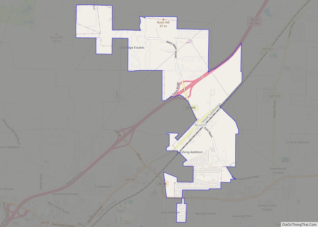
Cabot was often overshadowed in northern Lonoke County by what at the time was the much larger city of Austin (originally named Oakland), which was briefly considered for the state capital. However, Cabot experienced growth during the 1950s and 1960s, due to its proximity to the Little Rock Air Force Base in nearby Jacksonville which opened in 1955.
Major transportation routes near/through Cabot are the railroad (currently owned by Union Pacific), the “old highway to St. Louis” (currently Arkansas Highway 367), and US Highway 67/167. Historically, Cabot lay on the Memphis to Fort Smith spur of the Butterfield Overland Stagecoach Route.
Bedroom community
In 1972, the Little Rock School District, slow to comply with the 1954 US Supreme Court case Brown v. Topeka Board of Education, was forcibly ordered by federal courts to immediately desegregate the school district. As a result, tensions rose and during the 1980s and 1990s Little Rock school district teachers repeatedly went on strike. Many residents chose to relocate to smaller communities around Little Rock, including Cabot, Benton, Bryant, Conway, and Maumelle. Over time, new arrivals to the state chose to live in these towns (now veritable suburbs) because, by some educational indicators, the school districts were more successful.
Cabot received many of the families that were relocating during that time period. As a result, a “commuter culture” developed because many residents, that had children in Cabot schools, made the commute to Little Rock to work. As more people moved to Cabot to join the Cabot Commuter Culture, the tax base grew and as a result The Cabot School District steadily developed into one of the top-performing districts in the state.
Critics of Cabot’s growth, such as the Little Rock-based newspaper Arkansas Times, accused these residents of “white flight”, and of simply giving up on an integrated Little Rock school district. Currently, the Cabot School District encompasses the north end of Lonoke County. The bulk of the county’s population today can be found in approximately the same area, containing the county’s most populous and second most populous cities — Cabot and Ward, respectively — in addition to Austin, which are among Arkansas’ fastest growing communities.
Recent history
A devastating tornado hit downtown Cabot during the afternoon of March 29, 1976, killing five people and destroying multiple buildings. During the rebuilding of the city, it was decided to build a new city hall, municipal courtroom, library (since relocated), and police station on the site of the debris-filled dividing point between the east and west sections of Main Street, creating City Plaza. Arkansas Highway 89, which follows the same path as West Main Street in Cabot, was redirected around City Plaza along one block of Second Street, to continue its path along Pine Street just south of the Cabot High School campus.
Cabot’s population has more than quintupled from the 1980s to today. New housing starts, as seen by new subdivided developments, now cover the town.
On August 10, 2006, Cabot Junior High School North experienced a devastating fire which was believed to have started as a small electrical fire in the library caused by a faulty light bulb. Although there were 100 people in the building at the time, there were no injuries. The building burned from 2:30 p.m. to about 9:00 p.m., and the structure was a total loss. Cabot Fire and Police Departments say that this is one of the worst structure fires to have ever occurred in Cabot. The school was only about eight years old. It was rebuilt and reopened about three years later.
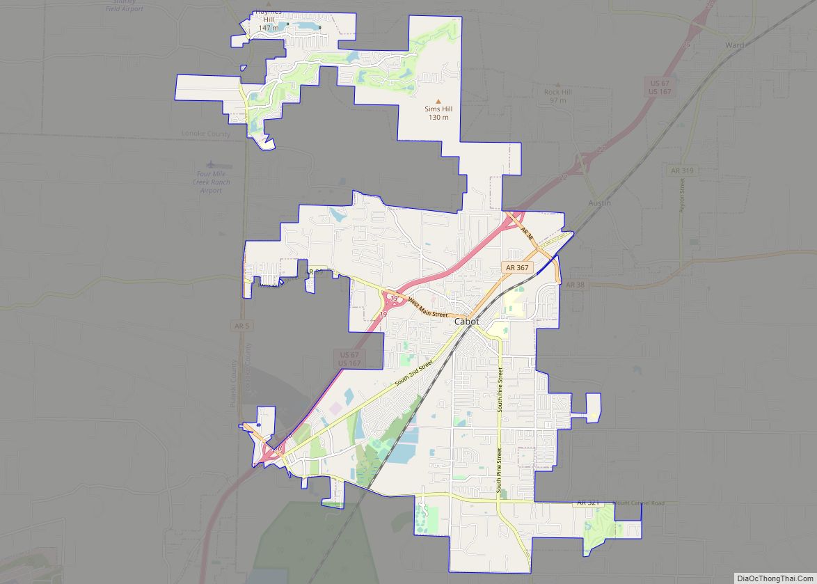
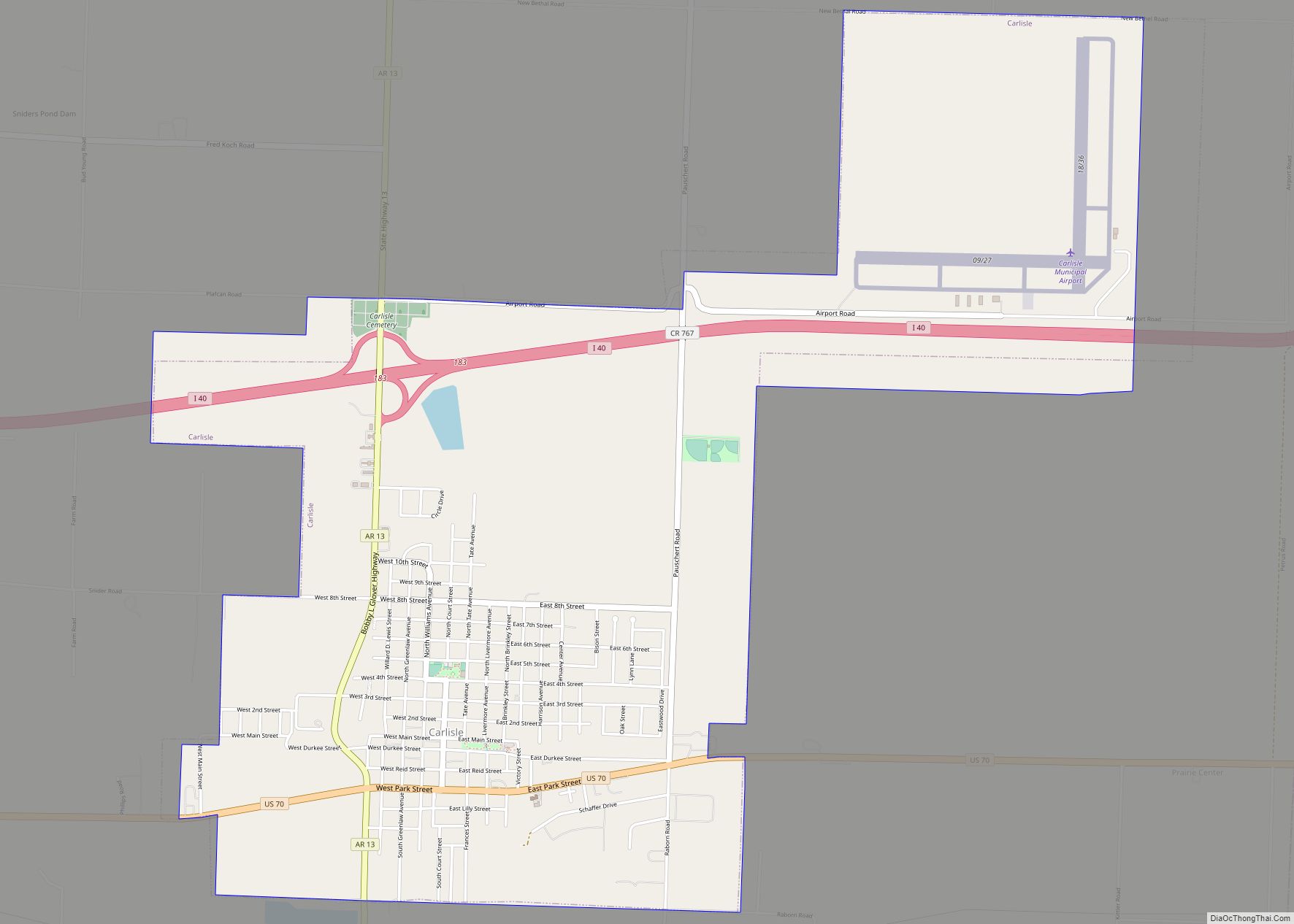
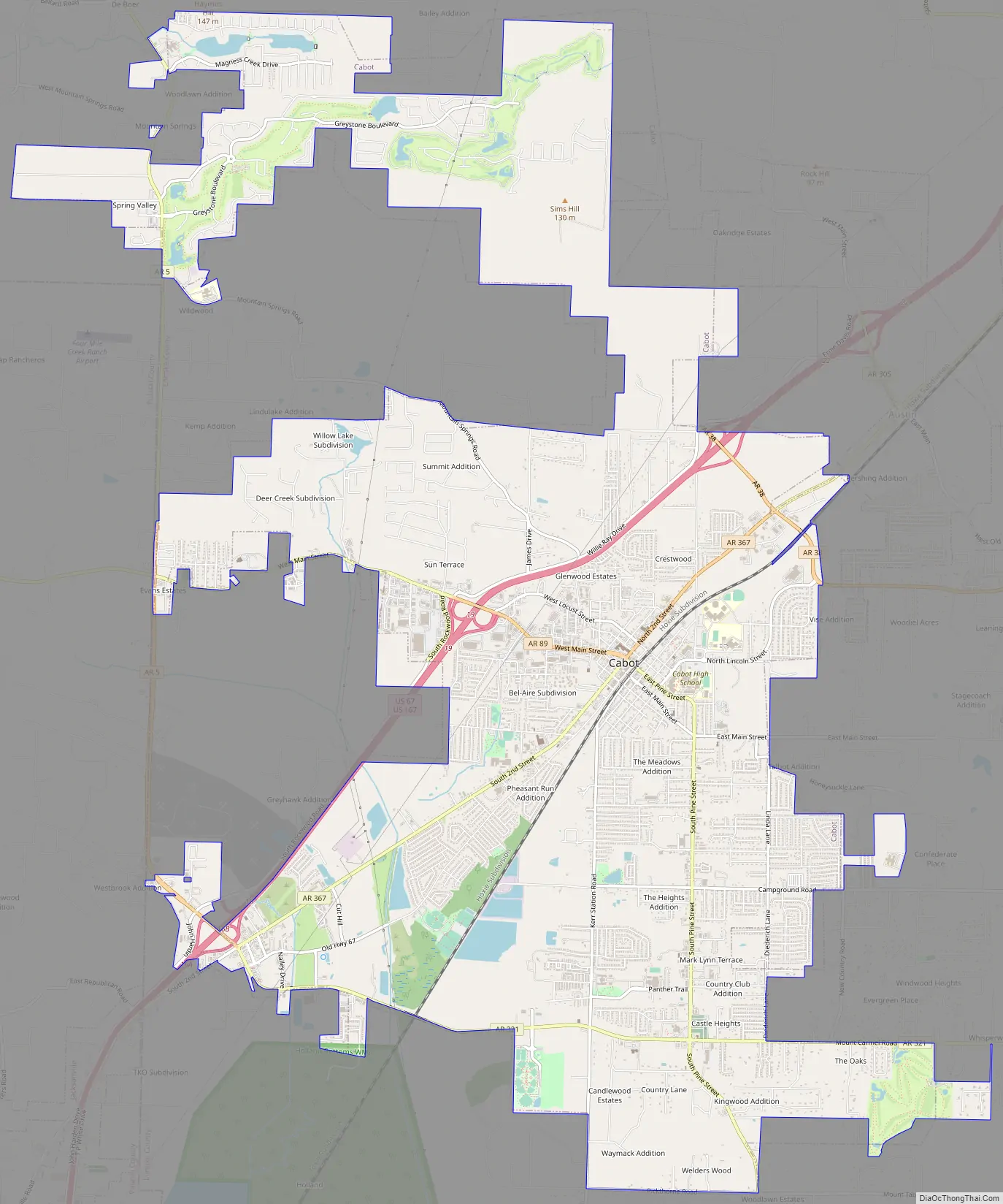
Cabot Road Map
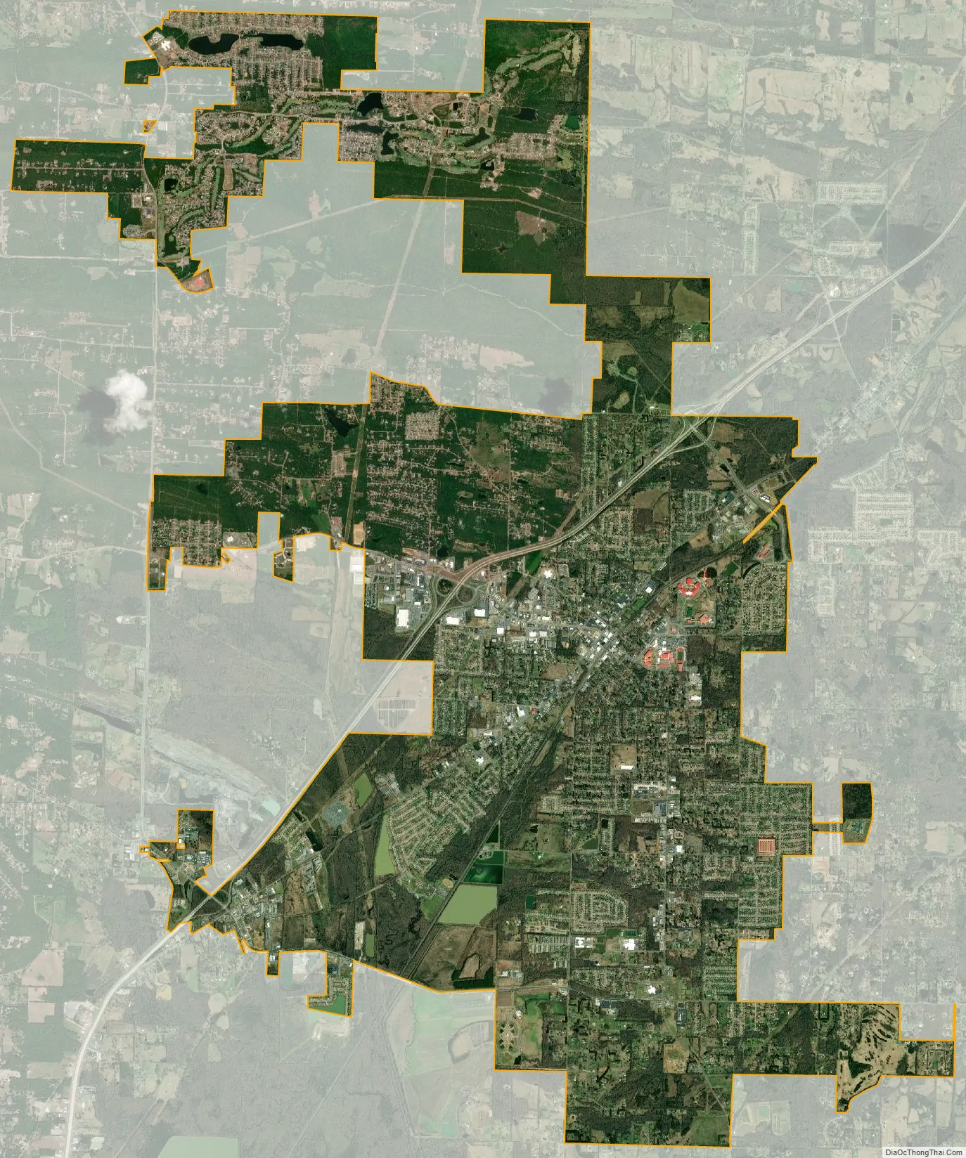
Cabot city Satellite Map
Geography
Cabot is in northwestern Lonoke County and is bordered to the northeast by the city of Austin. U.S. Routes 67 and 167 pass through the northwest side of the city on a four-lane freeway, leading northeast 26 miles (42 km) to Searcy and southwest 22 miles (35 km) to Little Rock, the state capital. Jacksonville is 9 miles (14 km) southwest of Cabot via Highways 67 and 167.
According to the United States Census Bureau, Cabot has a total area of 20.6 square miles (53.3 km), of which 20.5 square miles (53.1 km) are land and 0.1 square miles (0.2 km), or 0.44%, are water.
Climate
The climate in this area is characterized by hot, humid summers and generally mild to cool winters. According to the Köppen Climate Classification system, Cabot has a humid subtropical climate, abbreviated “Cfa” on climate maps.
See also
Map of Arkansas State and its subdivision:- Arkansas
- Ashley
- Baxter
- Benton
- Boone
- Bradley
- Calhoun
- Carroll
- Chicot
- Clark
- Clay
- Cleburne
- Cleveland
- Columbia
- Conway
- Craighead
- Crawford
- Crittenden
- Cross
- Dallas
- Desha
- Drew
- Faulkner
- Franklin
- Fulton
- Garland
- Grant
- Greene
- Hempstead
- Hot Spring
- Howard
- Independence
- Izard
- Jackson
- Jefferson
- Johnson
- Lafayette
- Lawrence
- Lee
- Lincoln
- Little River
- Logan
- Lonoke
- Madison
- Marion
- Miller
- Mississippi
- Monroe
- Montgomery
- Nevada
- Newton
- Ouachita
- Perry
- Phillips
- Pike
- Poinsett
- Polk
- Pope
- Prairie
- Pulaski
- Randolph
- Saint Francis
- Saline
- Scott
- Searcy
- Sebastian
- Sevier
- Sharp
- Stone
- Union
- Van Buren
- Washington
- White
- Woodruff
- Yell
- Alabama
- Alaska
- Arizona
- Arkansas
- California
- Colorado
- Connecticut
- Delaware
- District of Columbia
- Florida
- Georgia
- Hawaii
- Idaho
- Illinois
- Indiana
- Iowa
- Kansas
- Kentucky
- Louisiana
- Maine
- Maryland
- Massachusetts
- Michigan
- Minnesota
- Mississippi
- Missouri
- Montana
- Nebraska
- Nevada
- New Hampshire
- New Jersey
- New Mexico
- New York
- North Carolina
- North Dakota
- Ohio
- Oklahoma
- Oregon
- Pennsylvania
- Rhode Island
- South Carolina
- South Dakota
- Tennessee
- Texas
- Utah
- Vermont
- Virginia
- Washington
- West Virginia
- Wisconsin
- Wyoming