Lake Village is a city in and the county seat of Chicot County, Arkansas, United States. The population was 2,575 at the 2010 census. It is located in the Arkansas Delta. Lake Village is named for its location on Lake Chicot, an oxbow lake formed by the Mississippi River.
| Name: | Lake Village city |
|---|---|
| LSAD Code: | 25 |
| LSAD Description: | city (suffix) |
| State: | Arkansas |
| County: | Chicot County |
| Elevation: | 108 ft (33 m) |
| Total Area: | 2.39 sq mi (6.19 km²) |
| Land Area: | 2.39 sq mi (6.19 km²) |
| Water Area: | 0.00 sq mi (0.00 km²) |
| Total Population: | 2,065 |
| Population Density: | 864.02/sq mi (333.65/km²) |
| ZIP code: | 71653 |
| Area code: | 870 |
| FIPS code: | 0538170 |
| GNISfeature ID: | 0058036 |
| Website: | www.cityoflakevillage.com |
Online Interactive Map
Click on ![]() to view map in "full screen" mode.
to view map in "full screen" mode.
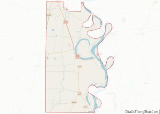
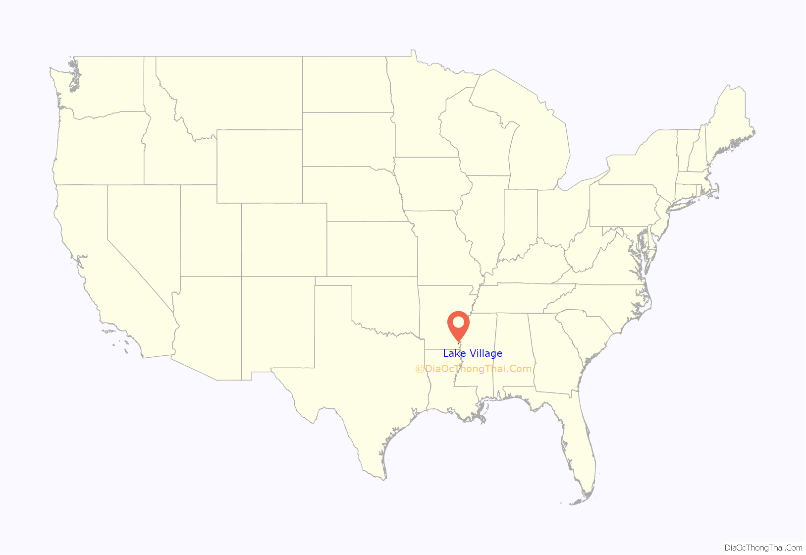
Lake Village location map. Where is Lake Village city?
History
According to legend, the remains of Spanish explorer Hernando de Soto might be buried under Lake Chicot. His expedition visited Guachoya, a native village along the edge of the lake, which is recorded as the site of his death (list of sites and peoples visited by the Hernando de Soto Expedition).
Lake Village was later founded at this location by European-American colonists. The area was developed for cotton plantations, and the county seat was the center of government and county trading. The antebellum years were when the county generated its greatest wealth, at least for planters.
Solo pilot Charles Lindbergh made his first nighttime flight in April 1923 over Lake Chicot and Lake Village.
Lake Village has nine properties listed on the National Register of Historic Places: Carlton House, Chicot County Courthouse, Sam Epstein House, Gregory Dipping Vat, Lake Village Confederate Monument, Lake Village Post Office, Dr. E.P. McGehee Infirmary, New Hope Missionary Baptist Church Cemetery (Historic Section), and the John Tushek Building. In addition, the Lake Village Commercial Historic District is listed, as is the nearby Lakeport Plantation. The antebellum mansion of the latter is the only one in the state that is located near the Mississippi River.
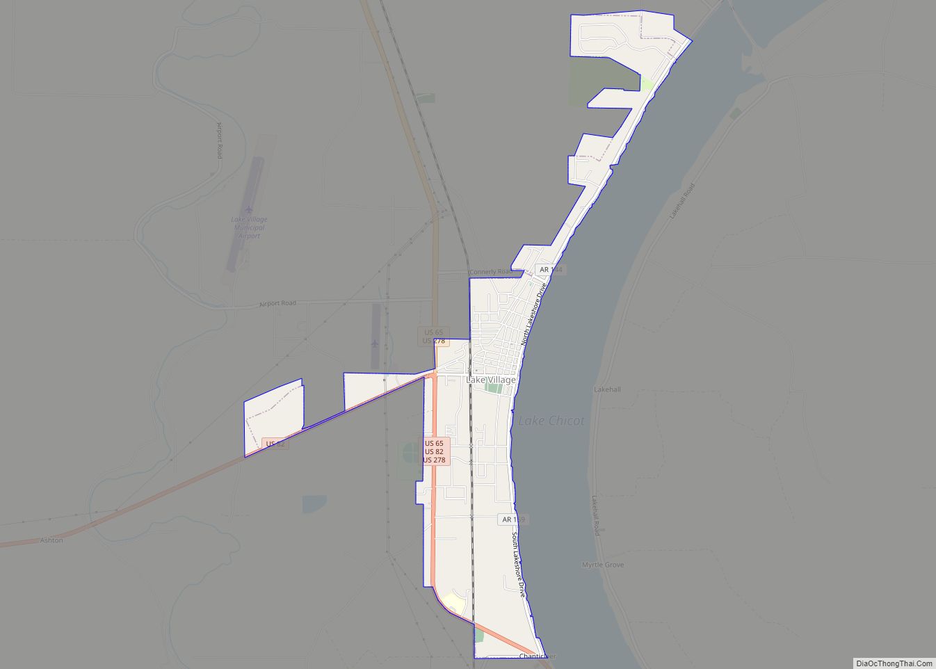
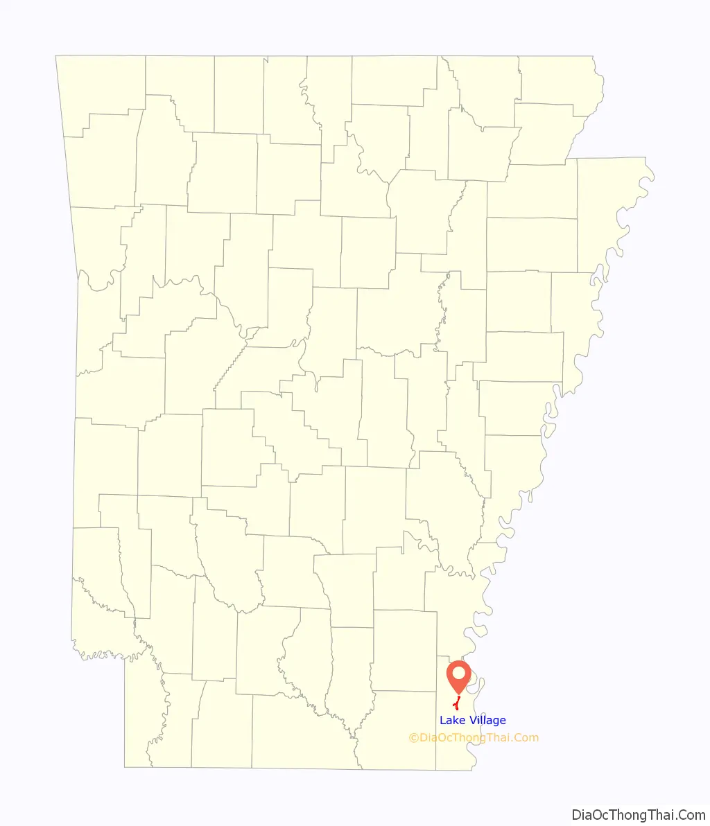
Lake Village Road Map
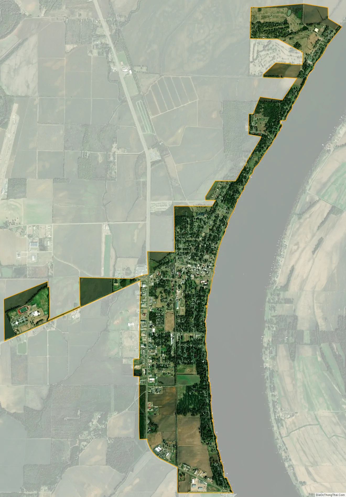
Lake Village city Satellite Map
Geography
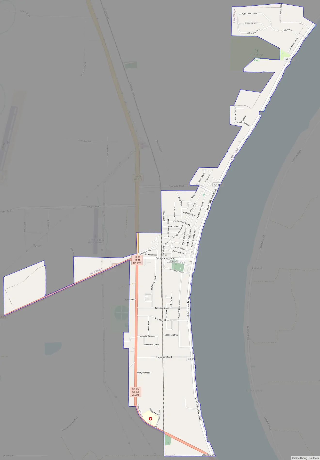
Lake Village is located north of the center of Chicot County at 33°19′54″N 91°17′1″W / 33.33167°N 91.28361°W / 33.33167; -91.28361 (33.331592, -91.283497). It is situated on the west bank of Lake Chicot, a former course of the Mississippi River that is and now an oxbow lake.
U.S. Routes 65 and 82 pass through the city. US 65 leads north 22 miles (35 km) to McGehee and south 17 miles (27 km) to Eudora, while US 82 leads west 31 miles (50 km) to Hamburg and east 21 miles (34 km) to Greenville, Mississippi. U.S. Route 278 follows US 65 north out of town and US 82 east to Mississippi.
According to the United States Census Bureau, Lake Village has a total area of 2.5 square miles (6.4 km), all land. The city is located in the southernmost section of the Delta Lowlands of Arkansas and boasts beautiful scenic vistas of the Mississippi River.
See also
Map of Arkansas State and its subdivision:- Arkansas
- Ashley
- Baxter
- Benton
- Boone
- Bradley
- Calhoun
- Carroll
- Chicot
- Clark
- Clay
- Cleburne
- Cleveland
- Columbia
- Conway
- Craighead
- Crawford
- Crittenden
- Cross
- Dallas
- Desha
- Drew
- Faulkner
- Franklin
- Fulton
- Garland
- Grant
- Greene
- Hempstead
- Hot Spring
- Howard
- Independence
- Izard
- Jackson
- Jefferson
- Johnson
- Lafayette
- Lawrence
- Lee
- Lincoln
- Little River
- Logan
- Lonoke
- Madison
- Marion
- Miller
- Mississippi
- Monroe
- Montgomery
- Nevada
- Newton
- Ouachita
- Perry
- Phillips
- Pike
- Poinsett
- Polk
- Pope
- Prairie
- Pulaski
- Randolph
- Saint Francis
- Saline
- Scott
- Searcy
- Sebastian
- Sevier
- Sharp
- Stone
- Union
- Van Buren
- Washington
- White
- Woodruff
- Yell
- Alabama
- Alaska
- Arizona
- Arkansas
- California
- Colorado
- Connecticut
- Delaware
- District of Columbia
- Florida
- Georgia
- Hawaii
- Idaho
- Illinois
- Indiana
- Iowa
- Kansas
- Kentucky
- Louisiana
- Maine
- Maryland
- Massachusetts
- Michigan
- Minnesota
- Mississippi
- Missouri
- Montana
- Nebraska
- Nevada
- New Hampshire
- New Jersey
- New Mexico
- New York
- North Carolina
- North Dakota
- Ohio
- Oklahoma
- Oregon
- Pennsylvania
- Rhode Island
- South Carolina
- South Dakota
- Tennessee
- Texas
- Utah
- Vermont
- Virginia
- Washington
- West Virginia
- Wisconsin
- Wyoming