Davenport is a census-designated place (CDP) in Santa Cruz County, California. Davenport sits at an elevation of 259 feet (79 m). The 2020 United States census reported Davenport’s population was 388.
| Name: | Davenport CDP |
|---|---|
| LSAD Code: | 57 |
| LSAD Description: | CDP (suffix) |
| State: | California |
| County: | Santa Cruz County |
| Elevation: | 259 ft (79 m) |
| Total Area: | 2.85 sq mi (7.37 km²) |
| Land Area: | 2.85 sq mi (7.37 km²) |
| Water Area: | 0.00 sq mi (0.00 km²) 0.37% |
| Total Population: | 388 |
| Population Density: | 136.38/sq mi (52.66/km²) |
| ZIP code: | 95017 |
| Area code: | 831 |
| FIPS code: | 0618086 |
| GNISfeature ID: | 2582991 |
Online Interactive Map
Click on ![]() to view map in "full screen" mode.
to view map in "full screen" mode.
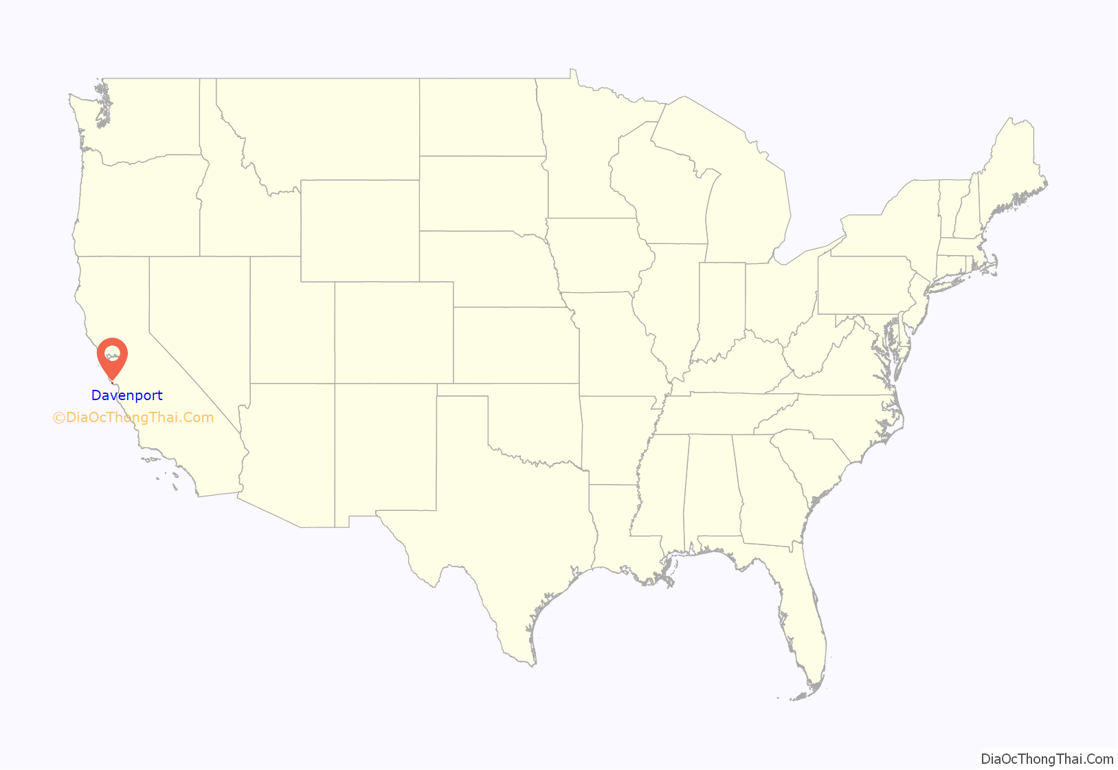
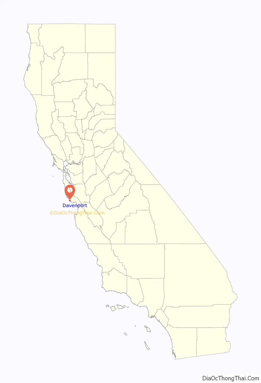
Davenport location map. Where is Davenport CDP?
History
A whaling captain named John Pope Davenport settled at El Jarro Point [ceb], about half a mile from today’s town, in 1867. Davenport built a 400-foot wharf at the mouth of Agua Puerca Creek (“agua puerca” translates to “muddy water”). This wharf was built to load the lumber brought down from the hills for shipment to Santa Cruz. A small village grew up around the port and was known as Davenport Landing. The local post office began operations in 1874, but was known only as Davenport. Agua Puerca Creek lived up to its name by bringing down so much mud that the port filled up and steamers could not tie up to the wharf to load lumber. A small extension did not solve the problem. Then a competitor built a longer wharf, but it was destroyed in a storm. Captain Davenport went bankrupt and moved to Santa Cruz. The post office in Davenport Landing closed in 1889.
When Captain Davenport went bankrupt, his assets were auctioned off to pay creditors. Among the items auctioned off were whaling items leading to speculation that he carried out whaling activities from the port, especially after he started losing money. However, no eyewitness reports of whaling activities at Davenport Landing have been found.
In 1905, an east coast businessman named William Dingee bought the Santa Cruz Lime Company, which had a lime quarry on the banks of San Vicente Creek, south of Davenport Landing. In the following year, the Santa Cruz Portland Cement Company manufacturing plant was built nearby. At that time, the closed Davenport Landing post office opened up in the settlement that grew up around the cement plant. It again only used the name of Davenport; hence, the name of the town.
Davenport has three restaurants, two art galleries, a store, a post office, the Davenport Cash Store, and Pacific School, the only school in the Pacific Elementary School District.
The ZIP Code is 95017 and the community is inside area code 831.
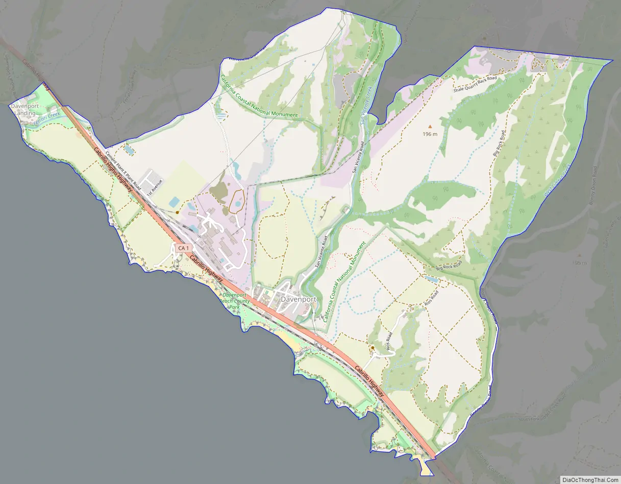
Davenport Road Map
Davenport city Satellite Map
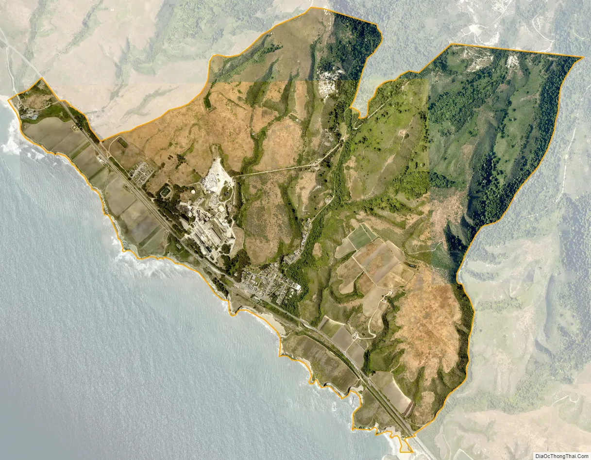
Geography
It lies at 37°00′42″N 122°11′27″W / 37.011667°N 122.190833°W / 37.011667; -122.190833. According to the United States Census Bureau, the CDP covers an area of 2.8 square miles (7.4 km), 99.63% of it land and 0.37% of it water.
See also
Map of California State and its subdivision:- Alameda
- Alpine
- Amador
- Butte
- Calaveras
- Colusa
- Contra Costa
- Del Norte
- El Dorado
- Fresno
- Glenn
- Humboldt
- Imperial
- Inyo
- Kern
- Kings
- Lake
- Lassen
- Los Angeles
- Madera
- Marin
- Mariposa
- Mendocino
- Merced
- Modoc
- Mono
- Monterey
- Napa
- Nevada
- Orange
- Placer
- Plumas
- Riverside
- Sacramento
- San Benito
- San Bernardino
- San Diego
- San Francisco
- San Joaquin
- San Luis Obispo
- San Mateo
- Santa Barbara
- Santa Clara
- Santa Cruz
- Shasta
- Sierra
- Siskiyou
- Solano
- Sonoma
- Stanislaus
- Sutter
- Tehama
- Trinity
- Tulare
- Tuolumne
- Ventura
- Yolo
- Yuba
- Alabama
- Alaska
- Arizona
- Arkansas
- California
- Colorado
- Connecticut
- Delaware
- District of Columbia
- Florida
- Georgia
- Hawaii
- Idaho
- Illinois
- Indiana
- Iowa
- Kansas
- Kentucky
- Louisiana
- Maine
- Maryland
- Massachusetts
- Michigan
- Minnesota
- Mississippi
- Missouri
- Montana
- Nebraska
- Nevada
- New Hampshire
- New Jersey
- New Mexico
- New York
- North Carolina
- North Dakota
- Ohio
- Oklahoma
- Oregon
- Pennsylvania
- Rhode Island
- South Carolina
- South Dakota
- Tennessee
- Texas
- Utah
- Vermont
- Virginia
- Washington
- West Virginia
- Wisconsin
- Wyoming


