Independence is a census-designated place in Inyo County, California. Independence is located 41 miles (66 km) south-southeast of Bishop, at an elevation of 3930 feet (1198 m). It is the county seat of Inyo County, California. The population of this census-designated place was 669 at the 2010 census, up from 574 at the 2000 census.
| Name: | Independence CDP |
|---|---|
| LSAD Code: | 57 |
| LSAD Description: | CDP (suffix) |
| State: | California |
| County: | Inyo County |
| Elevation: | 3,930 ft (1,198 m) |
| Total Area: | 4.870 sq mi (12.612 km²) |
| Land Area: | 4.867 sq mi (12.605 km²) |
| Water Area: | 0.003 sq mi (0.007 km²) 0.057% |
| Total Population: | 669 |
| Population Density: | 140/sq mi (53/km²) |
| ZIP code: | 93526 |
| FIPS code: | 0636350 |
| GNISfeature ID: | 1658811 |
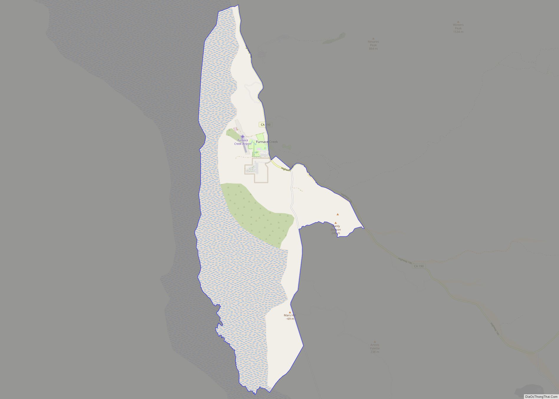
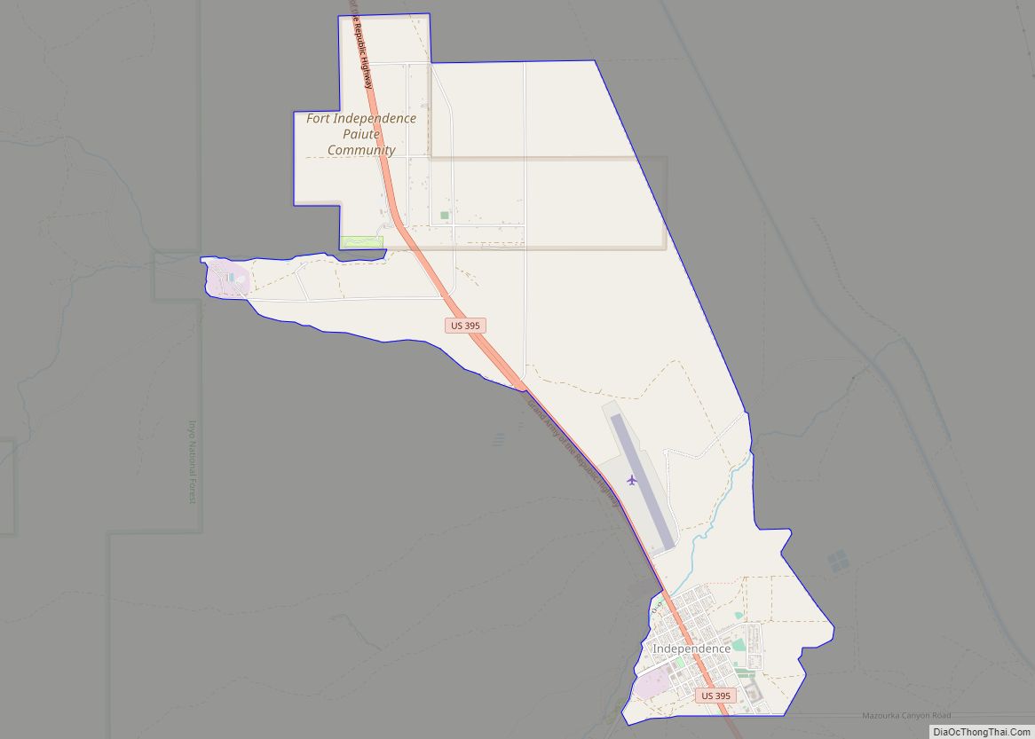
Online Interactive Map
Click on ![]() to view map in "full screen" mode.
to view map in "full screen" mode.
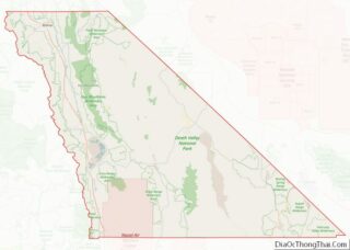
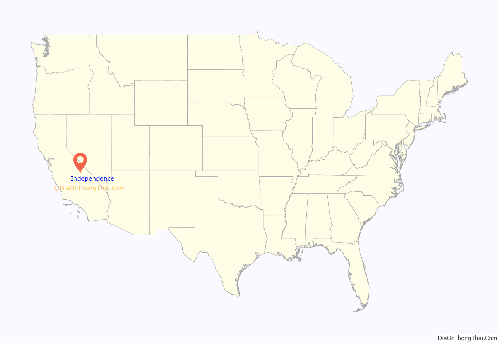
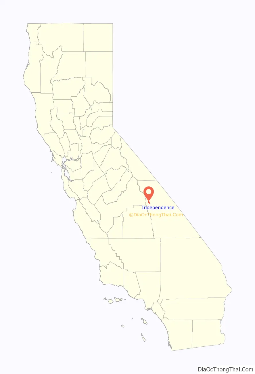
Independence location map. Where is Independence CDP?
History
Charles Putnam founded a trading post at the site in 1861. It became known as Putnam’s, and later Little Pine from the Little Pine Creek. The site of Putnam’s Cabin, across the street from the Inyo County Courthouse, is a California Historical Landmark # 223.
Independence began as the US Army Camp Independence (two miles north of the current town) established by Lieutenant Colonel George S. Evans on July 4, 1862. Colonel Evans established the camp at the request of local settlers who feared hostilities from the local indigenous tribes. The camp was soon closed, but was re-established as Fort Independence when hostilities resumed in 1865. The fort was finally abandoned in 1877, and it is currently a reservation for the Fort Independence Indian Community of Paiute Indians.
Independence became the seat of Inyo County in 1866 when its chief competitor for the honor, a mining camp called Kearsarge, disappeared under an avalanche.
The first post office at Independence was established in 1866.
United States Army General John K. Singlaub (1921 – 2022) was born in Independence.
Museums
The Eastern California Museum with extensive collections, exhibits, and programs; is located at 155 North Grant Street in Independence.
The home of author Mary Austin, the author of The Land of Little Rain, is preserved as a museum located at 235 Market Street in Independence.
Library
The Inyo County Free Library is in the Inyo County Courthouse.
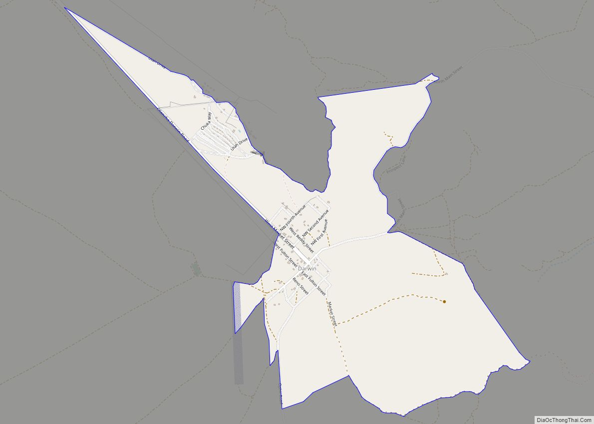
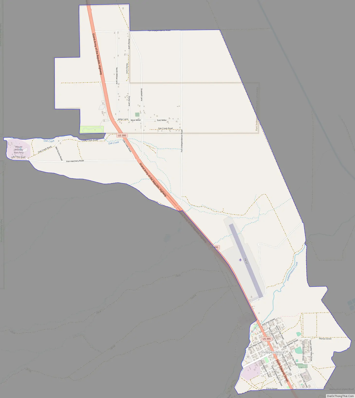
Independence Road Map
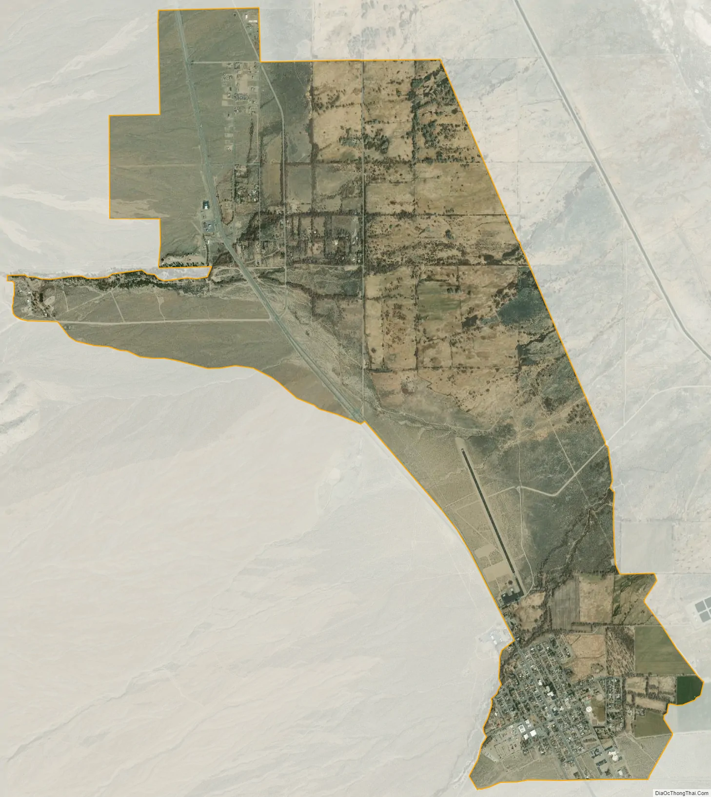
Independence city Satellite Map
Geography
The small town of Independence is bisected by U.S. Route 395, the main north-south highway through the Owens Valley.
The Sierra Nevada mountains to the west lie within the John Muir Wilderness Area. Onion Valley, one of the principal entry routes to the John Muir Wilderness, is accessed via the Onion Valley road which heads directly west out of Independence. This trail takes hikers to Kings Canyon/Sequoia National Parks which protect the Sierra Nevada west of the divide between the Owens Valley on the east and the rivers which drain into the San Joaquin Valley to the west.
Independence is a popular resupply location for hikers trekking the 2,650 mile long Pacific Crest Trail which extends from the Mexican border to Canada along the crest of the Sierra Nevada and Cascade Ranges. The highest pass along the entire trail, 13,153 foot (4009 m) Forester Pass, is directly west of Independence.
According to the United States Census Bureau, Independence covers an area of 4.9 square miles (13 km), over 99% of it land.
The elevation of Independence is 3,925 feet (1,196 m) above sea level.
See also
Map of California State and its subdivision:- Alameda
- Alpine
- Amador
- Butte
- Calaveras
- Colusa
- Contra Costa
- Del Norte
- El Dorado
- Fresno
- Glenn
- Humboldt
- Imperial
- Inyo
- Kern
- Kings
- Lake
- Lassen
- Los Angeles
- Madera
- Marin
- Mariposa
- Mendocino
- Merced
- Modoc
- Mono
- Monterey
- Napa
- Nevada
- Orange
- Placer
- Plumas
- Riverside
- Sacramento
- San Benito
- San Bernardino
- San Diego
- San Francisco
- San Joaquin
- San Luis Obispo
- San Mateo
- Santa Barbara
- Santa Clara
- Santa Cruz
- Shasta
- Sierra
- Siskiyou
- Solano
- Sonoma
- Stanislaus
- Sutter
- Tehama
- Trinity
- Tulare
- Tuolumne
- Ventura
- Yolo
- Yuba
- Alabama
- Alaska
- Arizona
- Arkansas
- California
- Colorado
- Connecticut
- Delaware
- District of Columbia
- Florida
- Georgia
- Hawaii
- Idaho
- Illinois
- Indiana
- Iowa
- Kansas
- Kentucky
- Louisiana
- Maine
- Maryland
- Massachusetts
- Michigan
- Minnesota
- Mississippi
- Missouri
- Montana
- Nebraska
- Nevada
- New Hampshire
- New Jersey
- New Mexico
- New York
- North Carolina
- North Dakota
- Ohio
- Oklahoma
- Oregon
- Pennsylvania
- Rhode Island
- South Carolina
- South Dakota
- Tennessee
- Texas
- Utah
- Vermont
- Virginia
- Washington
- West Virginia
- Wisconsin
- Wyoming