Oakhurst (formerly Fresno Flats) is a census-designated place (CDP) in Madera County, California, United States, 14 miles (23 km) south of the entrance to Yosemite National Park, in the foothills of the Sierra Nevada. At the 2020 census, the population was 5,945, up from 2,829 at the 2010 census. It is part of the Madera metropolitan statistical area.
| Name: | Oakhurst CDP |
|---|---|
| LSAD Code: | 57 |
| LSAD Description: | CDP (suffix) |
| State: | California |
| County: | Madera County |
| Elevation: | 2,274 ft (693 m) |
| Total Area: | 33.46 sq mi (86.7 km²) |
| Land Area: | 33.45 sq mi (86.6 km²) |
| Water Area: | 0.01 sq mi (0.03 km²) 0.02% |
| Total Population: | 5,945 |
| Population Density: | 177.7/sq mi (68.6/km²) |
| ZIP code: | 93644 |
| Area code: | 559 |
| FIPS code: | 0652764 |
| GNISfeature ID: | 277565 |
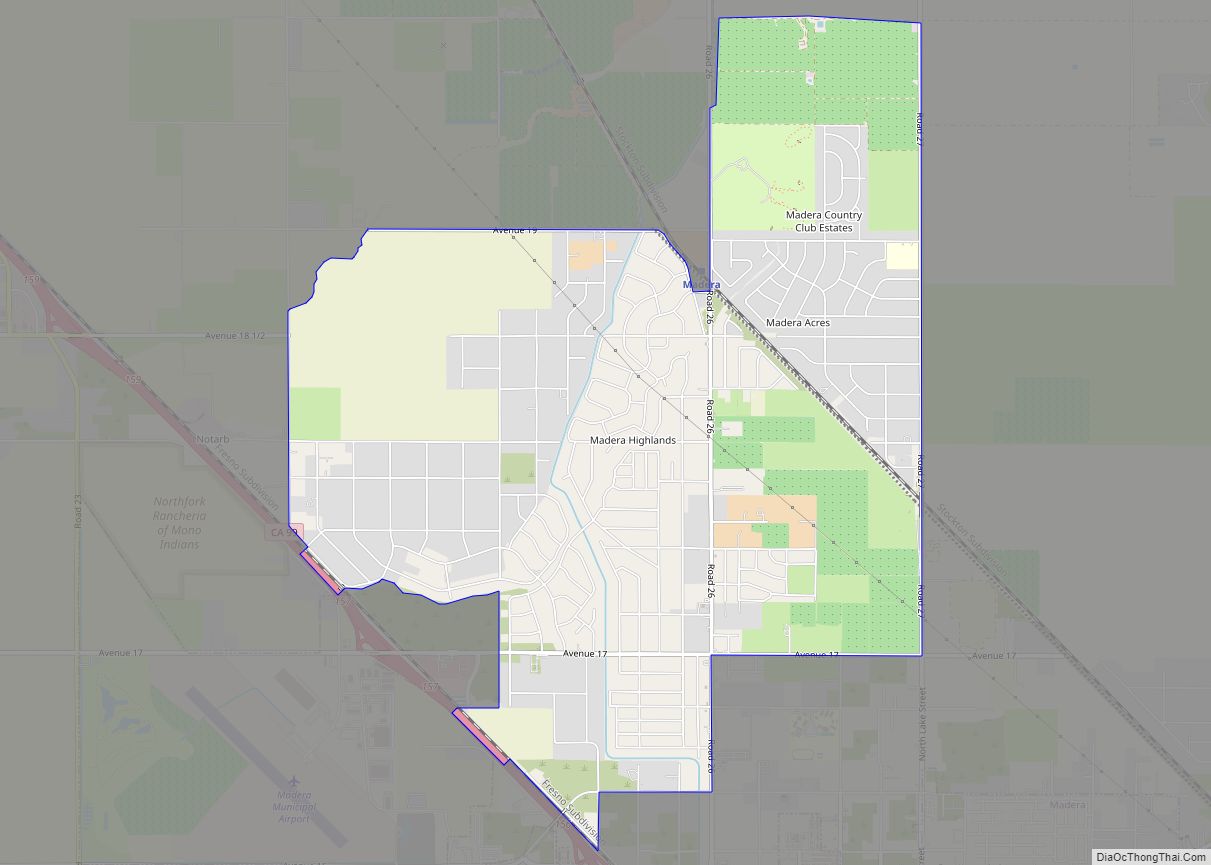
Online Interactive Map
Click on ![]() to view map in "full screen" mode.
to view map in "full screen" mode.
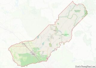
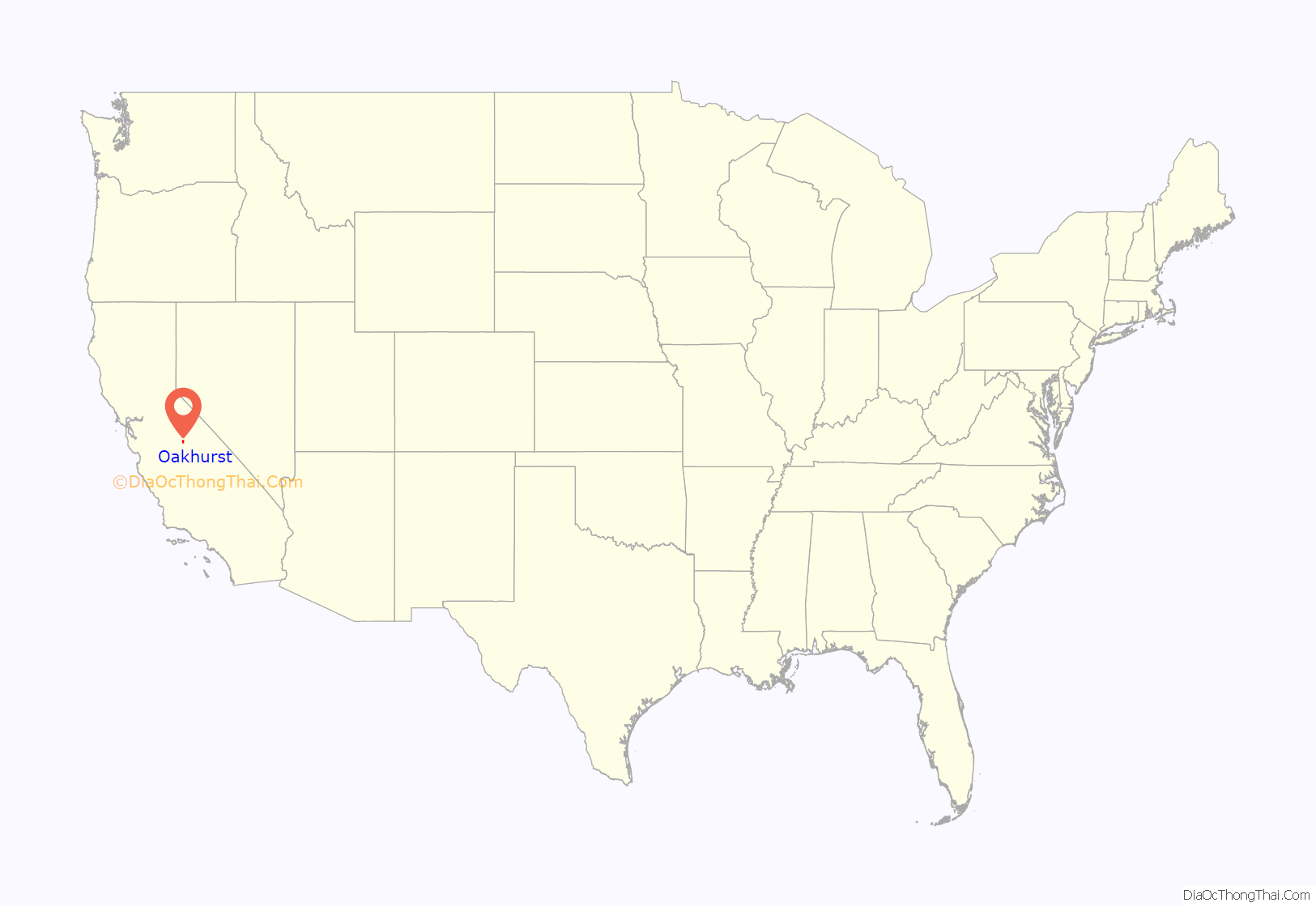
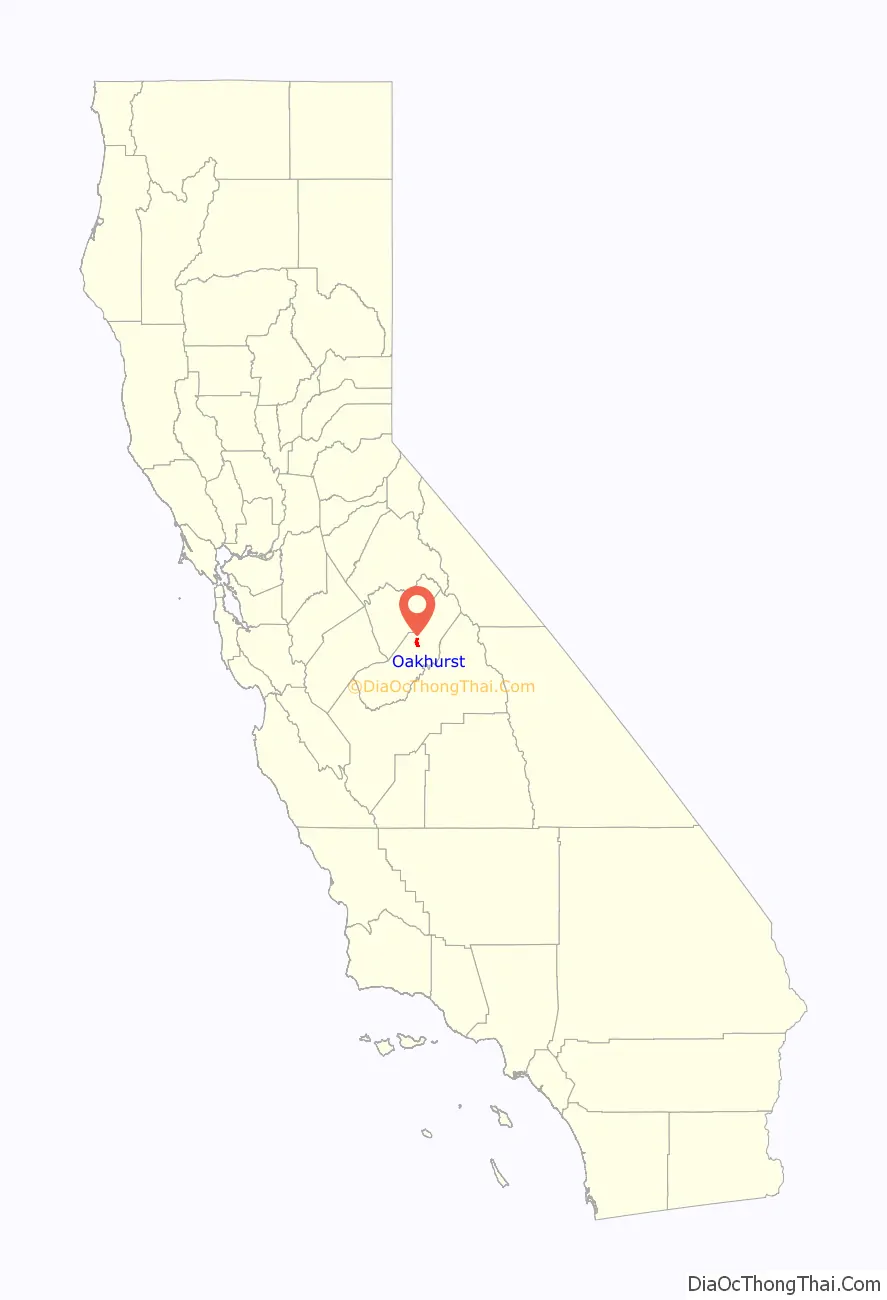
Oakhurst location map. Where is Oakhurst CDP?
History
Native people
Oakhurst was a common meeting ground for the Miwoks, Yokuts, and Monos before the time of the California Gold Rush.
Many Native Californians were displaced by white settlers following the enactment of the Act for the Government and Protection of Indians in 1850. This act facilitated the removal and displacement of Native Californian Indians from their traditional lands, and led to the Mariposa War, the first battle of which was fought near present-day Oakhurst on January 11, 1851. By June 1851, most Native Americans in the region had been relocated to the Fresno River Farm Reservation, opening the region to the first permanent white settlers.
Fresno Flats
Oakhurst’s existence began in 1858 as “Fresno Flats”, named for the Spanish word for ash trees and flat, a colloquial term for a mountain meadow.
Fresno Flats founding was not precipitated by the discovery of precious metals, unlike most other nearby towns founded in the nineteenth century along what came to be known as the Golden Chain Highway.
A rancher named John Robert Nichols is believed to be the first Anglo settler to permanently settle in the area in 1858. He was soon joined by others who raised hogs and sheep and planted orchards, making Fresno Flats a permanent settlement. The first post office opened in 1873. In 1874, the Madera Flume and Lumber Company began construction of a log flume alongside the Fresno River that gave rise to the local timber industry. In 1876, the wagon road from Madera to Yosemite was completed. From that point onward, tourism would steadily become the chief economic activity of the area.
Name change
Fresno Flats lost its name in 1912 after a resident secretly petitioned the town be renamed over fear that the town’s reputation was forever tarnished because of a local stagecoach robbery. The town was renamed Oakhurst by an Act of Congress that took most people in town by surprise.
Sierra On-Line
The pioneering computer game developer Sierra On-Line was based in Oakhurst from 1981 to 1999. The company achieved many industry firsts, including the development of the first 3D adventure game (King’s Quest, 1984) and one of the first online gaming networks (The Sierra Network, 1989).
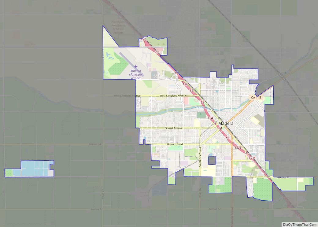
Oakhurst Road Map

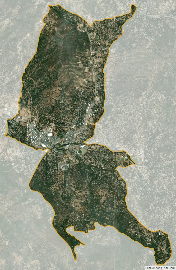
Oakhurst city Satellite Map
Geography
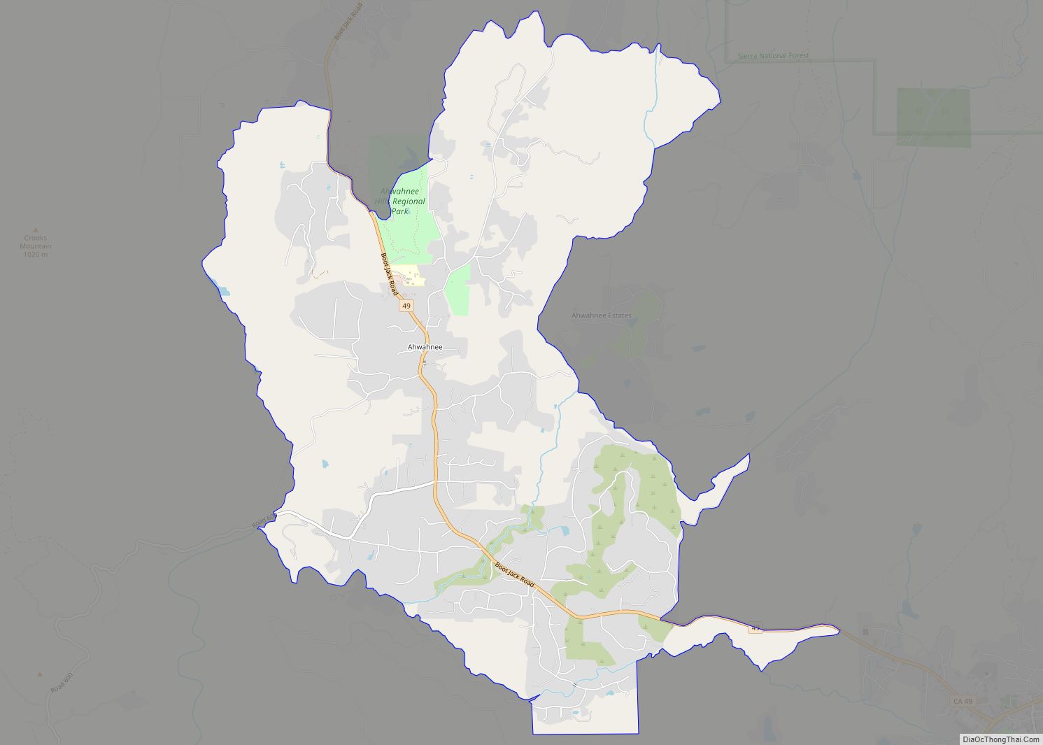
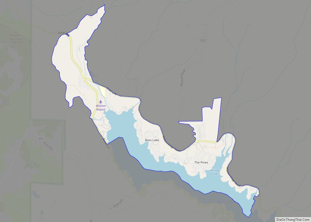
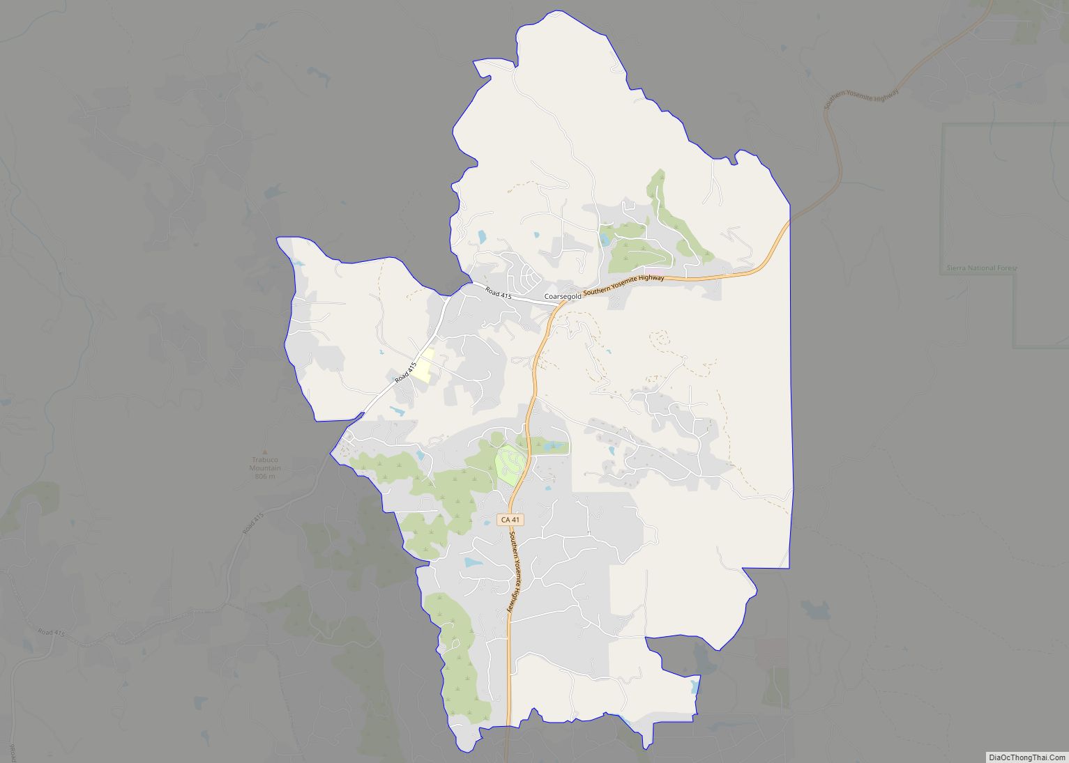
Oakhurst is located on the Fresno River 3 miles (5 km) south-southwest of Yosemite Forks, at an elevation of 2,274 feet (693 m). Its coordinates are 37°19′41″N 119°38′58″W / 37.32806°N 119.64944°W / 37.32806; -119.64944. It is located at the junction of state highways 41 and 49, at the southern end of California’s Gold Country. Nearby communities include Ahwahnee, Coarsegold and Bass Lake.
According to the United States Census Bureau, the CDP has a total area of 33.5 square miles (87 km), of which 0.007 square miles (0.018 km), or 0.02%, are water.
See also
Map of California State and its subdivision:- Alameda
- Alpine
- Amador
- Butte
- Calaveras
- Colusa
- Contra Costa
- Del Norte
- El Dorado
- Fresno
- Glenn
- Humboldt
- Imperial
- Inyo
- Kern
- Kings
- Lake
- Lassen
- Los Angeles
- Madera
- Marin
- Mariposa
- Mendocino
- Merced
- Modoc
- Mono
- Monterey
- Napa
- Nevada
- Orange
- Placer
- Plumas
- Riverside
- Sacramento
- San Benito
- San Bernardino
- San Diego
- San Francisco
- San Joaquin
- San Luis Obispo
- San Mateo
- Santa Barbara
- Santa Clara
- Santa Cruz
- Shasta
- Sierra
- Siskiyou
- Solano
- Sonoma
- Stanislaus
- Sutter
- Tehama
- Trinity
- Tulare
- Tuolumne
- Ventura
- Yolo
- Yuba
- Alabama
- Alaska
- Arizona
- Arkansas
- California
- Colorado
- Connecticut
- Delaware
- District of Columbia
- Florida
- Georgia
- Hawaii
- Idaho
- Illinois
- Indiana
- Iowa
- Kansas
- Kentucky
- Louisiana
- Maine
- Maryland
- Massachusetts
- Michigan
- Minnesota
- Mississippi
- Missouri
- Montana
- Nebraska
- Nevada
- New Hampshire
- New Jersey
- New Mexico
- New York
- North Carolina
- North Dakota
- Ohio
- Oklahoma
- Oregon
- Pennsylvania
- Rhode Island
- South Carolina
- South Dakota
- Tennessee
- Texas
- Utah
- Vermont
- Virginia
- Washington
- West Virginia
- Wisconsin
- Wyoming