Oakley is a city in Contra Costa County, California, United States. It is within the nine-county San Francisco Bay Area. The population at the 2020 United States census was 43,357. Oakley was incorporated in 1999, making it the newest incorporated city in Contra Costa County.
| Name: | Oakley city |
|---|---|
| LSAD Code: | 25 |
| LSAD Description: | city (suffix) |
| State: | California |
| County: | Contra Costa County |
| Incorporated: | July 1, 1999 |
| Elevation: | 20 ft (6 m) |
| Total Area: | 16.17 sq mi (41.88 km²) |
| Land Area: | 15.86 sq mi (41.09 km²) |
| Water Area: | 0.30 sq mi (0.79 km²) 1.87% |
| Total Population: | 43,357 |
| Population Density: | 2,700/sq mi (1,000/km²) |
| ZIP code: | 94561 |
| Area code: | 925 |
| FIPS code: | 0653070 |
| Website: | ci.oakley.ca.us |
Online Interactive Map
Click on ![]() to view map in "full screen" mode.
to view map in "full screen" mode.
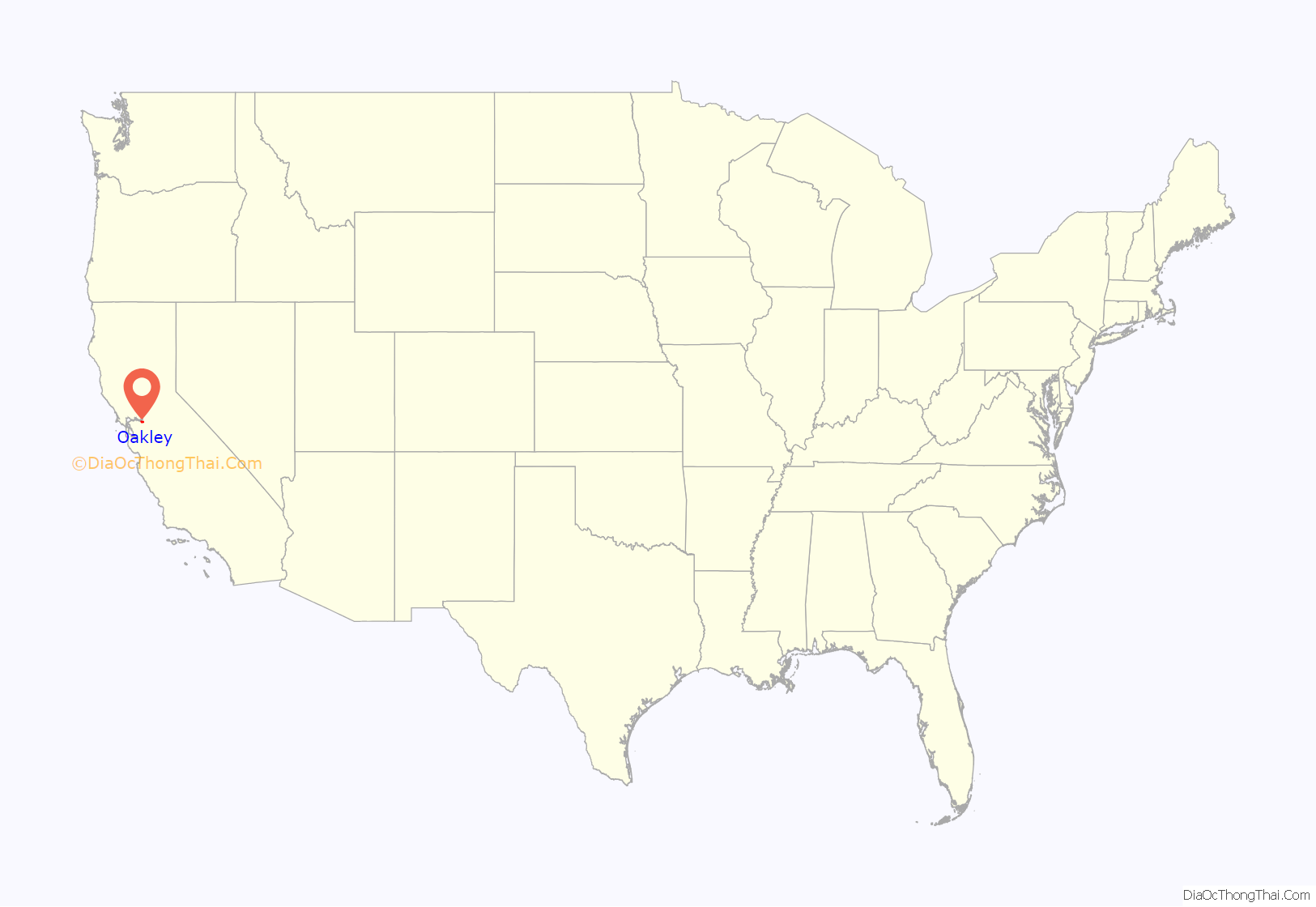
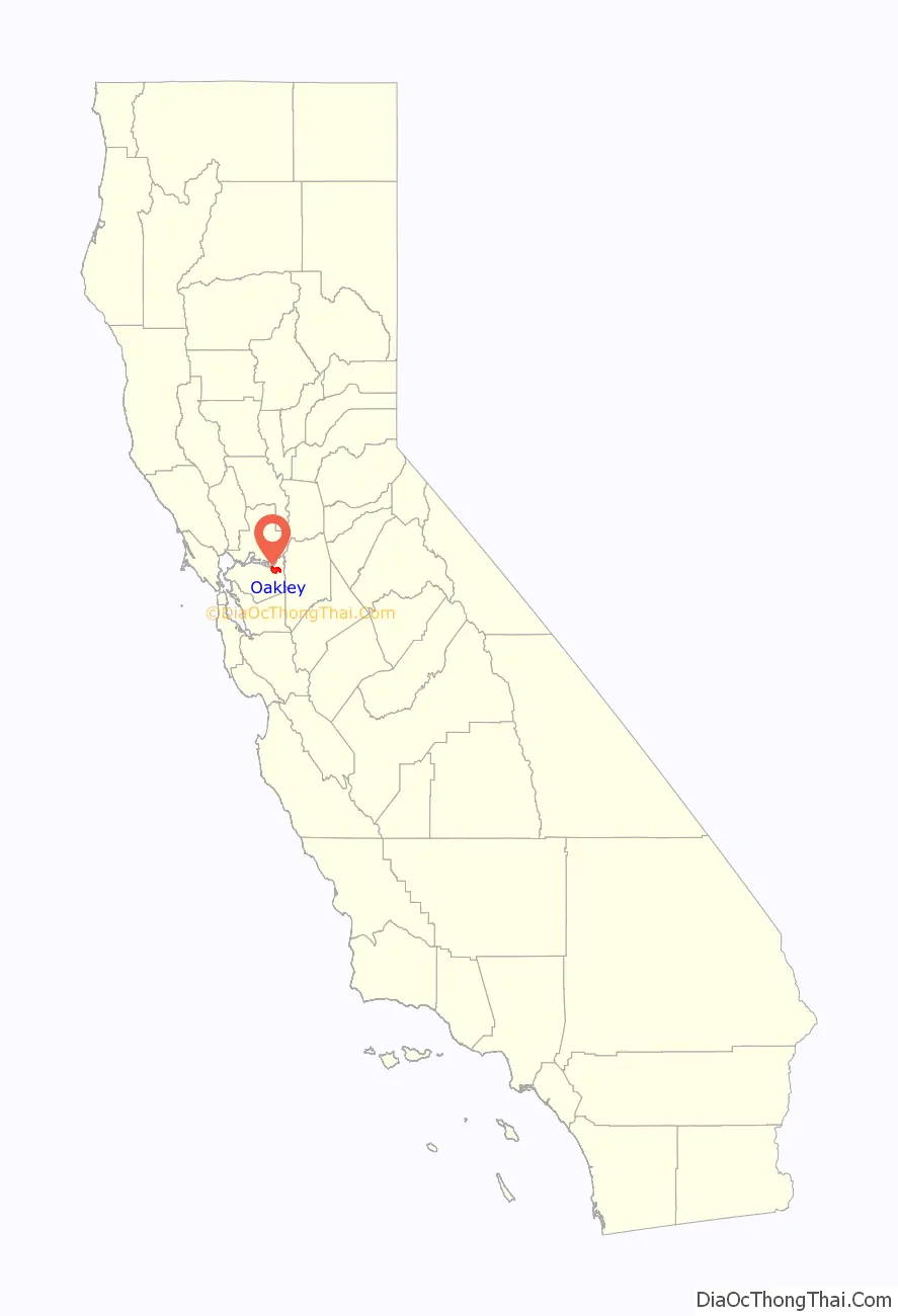
Oakley location map. Where is Oakley city?
History
Indigenous history
Archeologists have found prehistoric sites in the Oakley area. One substantial shell mound was discovered early in the 20th century near what is now the eastern edge of town. The Northwest Information Center of the California Historical Resources Information System monitors the archeological investigations undertaken in Oakley. Around three dozen such projects have been completed in the past 25 years, yielding only four prehistoric sites in the city. However, the information center believes there is a high possibility that other prehistoric sites remain within the city. To enable further archaeological excavation, the site referred to as Simon Mound was purchased by the Archaeological Conservancy after many of the ancient settlement places had already been destroyed by urban encroachment. Simone Mound has provided bones and fragments from burial sites starting around 1000 A.D. and is near a similar Conservancy preserve, the Hotchkiss Mound.
The first accounts of identifiable cultural community in the west delta are attributed to the Bay Miwoks, who occupied the region between 1100 and 1770 AD. The Bay Miwok people, usually called the Julpunes or Pulpunes by European explorers, were organized into “tribelets”—political units that included several fairly permanent villages and a set of seasonal campsites arrayed across a well-defined territory.
Spanish exploration
Incursions of the Spanish Empire into the Oakley area began in the 1770s. The first group to enter the present-day city limits was the De Anza expedition of 1775–76. However, after a failed attempt to find a route through the tule swamps to the Sierra, the De Anza expedition returned to Monterey. Subsequent expeditions by the Spanish did not result in colonization. Europeans settled in the Delta in the 19th century, but were killed by malaria and smallpox.
American period
Oakley’s first post office was established in 1898.
Oakley became an incorporated city in 1999.
Oakley Road Map
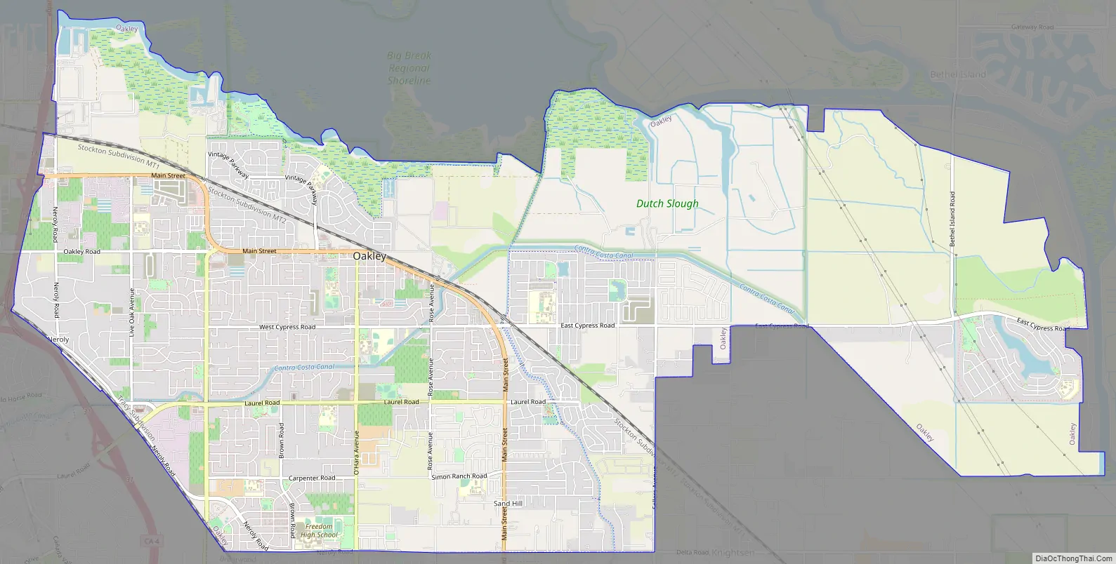
Oakley city Satellite Map

Geography
According to reports provided by Money.com, Oakley experiences 21.16 inches (537 mm) of annual rainfall with an average high temperature in July of 96.0 °F (35.6 °C) and an average low temperature in January of 40.0 °F (4.4 °C). Oakley experiences 52% clear days throughout the year.
Oakley’s western border is California State Route 160. The City of Antioch adjoins Oakley on the west, the city of Brentwood adjoins Oakley on the south, and Bethel Island lies to the east. The Sacramento-San Joaquin Delta forms the northern boundary. The southwestern skyline is dominated by Mt. Diablo.
See also
Map of California State and its subdivision:- Alameda
- Alpine
- Amador
- Butte
- Calaveras
- Colusa
- Contra Costa
- Del Norte
- El Dorado
- Fresno
- Glenn
- Humboldt
- Imperial
- Inyo
- Kern
- Kings
- Lake
- Lassen
- Los Angeles
- Madera
- Marin
- Mariposa
- Mendocino
- Merced
- Modoc
- Mono
- Monterey
- Napa
- Nevada
- Orange
- Placer
- Plumas
- Riverside
- Sacramento
- San Benito
- San Bernardino
- San Diego
- San Francisco
- San Joaquin
- San Luis Obispo
- San Mateo
- Santa Barbara
- Santa Clara
- Santa Cruz
- Shasta
- Sierra
- Siskiyou
- Solano
- Sonoma
- Stanislaus
- Sutter
- Tehama
- Trinity
- Tulare
- Tuolumne
- Ventura
- Yolo
- Yuba
- Alabama
- Alaska
- Arizona
- Arkansas
- California
- Colorado
- Connecticut
- Delaware
- District of Columbia
- Florida
- Georgia
- Hawaii
- Idaho
- Illinois
- Indiana
- Iowa
- Kansas
- Kentucky
- Louisiana
- Maine
- Maryland
- Massachusetts
- Michigan
- Minnesota
- Mississippi
- Missouri
- Montana
- Nebraska
- Nevada
- New Hampshire
- New Jersey
- New Mexico
- New York
- North Carolina
- North Dakota
- Ohio
- Oklahoma
- Oregon
- Pennsylvania
- Rhode Island
- South Carolina
- South Dakota
- Tennessee
- Texas
- Utah
- Vermont
- Virginia
- Washington
- West Virginia
- Wisconsin
- Wyoming


