Brentwood is a city in Contra Costa County, California, United States. It is located in the East Bay region of the San Francisco Bay Area. The population is 66,854 as of 2022, an increase of 287% from 23,302 at the 2000 census.
Brentwood began as a community in the late 19th century. The community is still known throughout the Bay Area for its agricultural products – primarily its cherries, corn and peaches. Due to urban sprawl many of the old farms and orchards have been replaced by suburban developments since 1990. Brentwood is increasingly residential, with the rate of population growth in the triple digits during the 1990s and 69% from 2000 through 2010. An official estimate showed the population increased nearly 21% during the period 2010 to 2016.
| Name: | Brentwood city |
|---|---|
| LSAD Code: | 25 |
| LSAD Description: | city (suffix) |
| State: | California |
| County: | Contra Costa County |
| Incorporated: | January 21, 1948 |
| Elevation: | 79 ft (24 m) |
| Total Area: | 14.87 sq mi (38.50 km²) |
| Land Area: | 14.87 sq mi (38.50 km²) |
| Water Area: | 0.00 sq mi (0.00 km²) 0.13% |
| Total Population: | 64,292 |
| Population Density: | 4,325.06/sq mi (1,669.87/km²) |
| ZIP code: | 94513 |
| Area code: | 925 |
| FIPS code: | 0608142 |
| Website: | brentwoodca.gov |
Online Interactive Map
Click on ![]() to view map in "full screen" mode.
to view map in "full screen" mode.
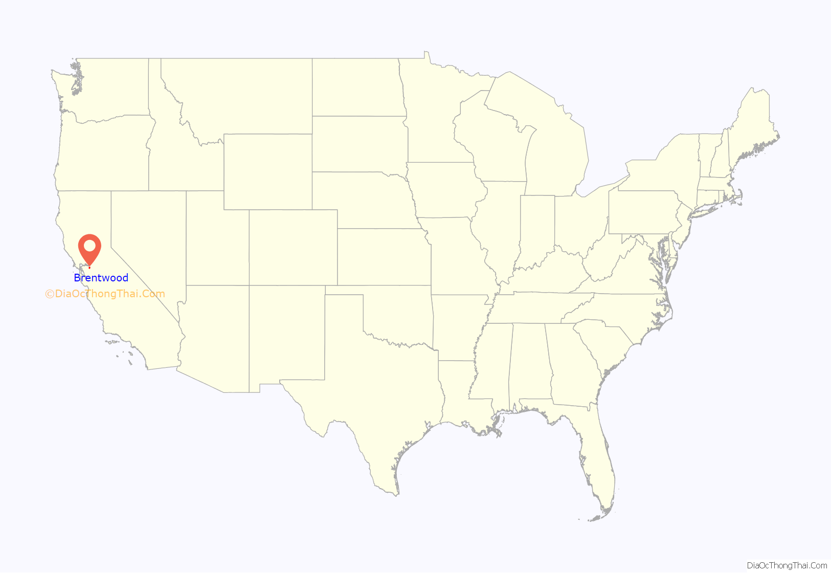
Brentwood location map. Where is Brentwood city?
History
Brentwood was originally laid out on land donated from property owned by John Marsh, an East Contra Costa County pioneer who acquired Rancho Los Méganos, the land grant that Brentwood is built upon, in 1837 from Jose Noriega. Marsh was one of the wealthiest men in California and was instrumental in its becoming independent from Mexico and part of the United States. His letters extolling the potential for agriculture in California were published in newspapers throughout the East. They resulted in the first wagon trains to California. Marsh encouraged this, and allowed new arrivals to stay on his ranch until they could get settled. Rancho Los Méganos became the terminus of the California Trail. Brentwood was named after Marsh’s ancestral home, the town of Brentwood in the County of Essex, England.
Brentwood’s first post office was established in 1878. The city incorporated in 1948.
Balfour, Guthrie & Co., a British investment company, purchased the John Marsh ranch in 1910. The company invested heavily in other California agricultural properties as well. In 1910, it built the Brentwood Hotel at Oak Street and Brentwood Boulevard, across from the railroad station. This replaced an earlier hotel on the same site that had burned down in 1903. The hotel was razed in 1967, and replaced by a service station.
The Brentwood water tower perhaps symbolizes the city’s transition from a rural farm community to a modern bedroom community. This landmark on Walnut Boulevard, across the street from the Brentwood Park and Ride lot, is the tallest structure in the city. It is no longer used for its original purpose, but now serves as a cell phone tower. City water is stored in large tanks atop hills outside the city.
The city is bordered on three sides by the Contra Costa County Agricultural Core which consists of 11,000 acres of preserved and still actively productive farm land.
During the 1990s, many types of retail stores were built along the Brentwood/Antioch border on Lone Tree Way, on both sides of SR 4 B, about 3.5 miles (5.6 km) from downtown Brentwood. The Streets of Brentwood, an outdoor lifestyle retail center, opened in Brentwood in 2008.
The city broke ground for a new civic center in November, 2009. The Mission-style architectural inspiration for City Hall, the main building, was the 1910 Brentwood Hotel. The $60 million project, completed in May 2012, includes the 58,000-square-foot City Hall and state-of-the-art City Council Chambers, a 32,000-square-foot community center, 280-space parking garage and redevelopment of the 1⁄2-acre City Park. The community center also includes arts and crafts rooms as well as studios for dance classes and community exercise programs. The center received a Leadership in Energy and Environmental Design silver certification for amenities such as green roofs, biosales, permeable paving and infiltration planters. City departments began moving into the new facility in October 2011, and the former city hall was demolished during November 2011.
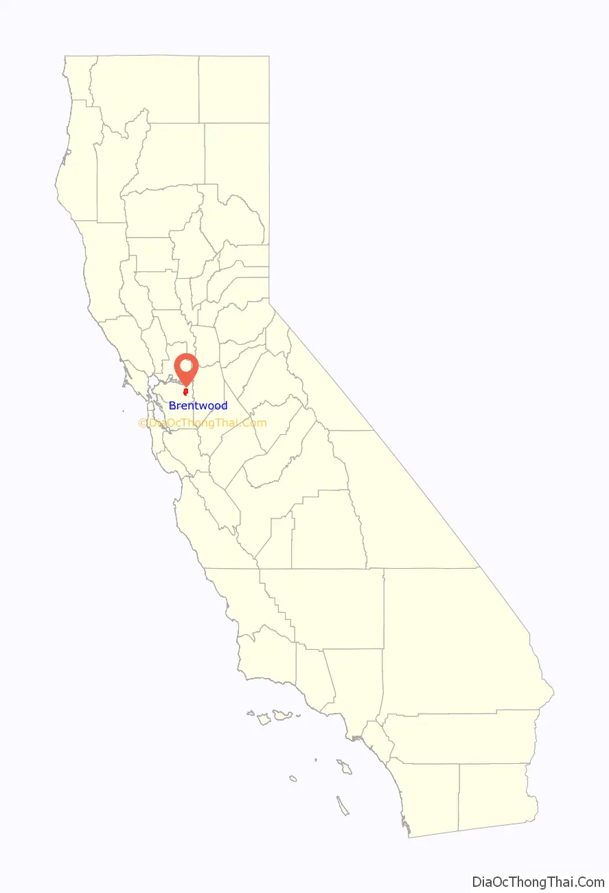
Brentwood Road Map

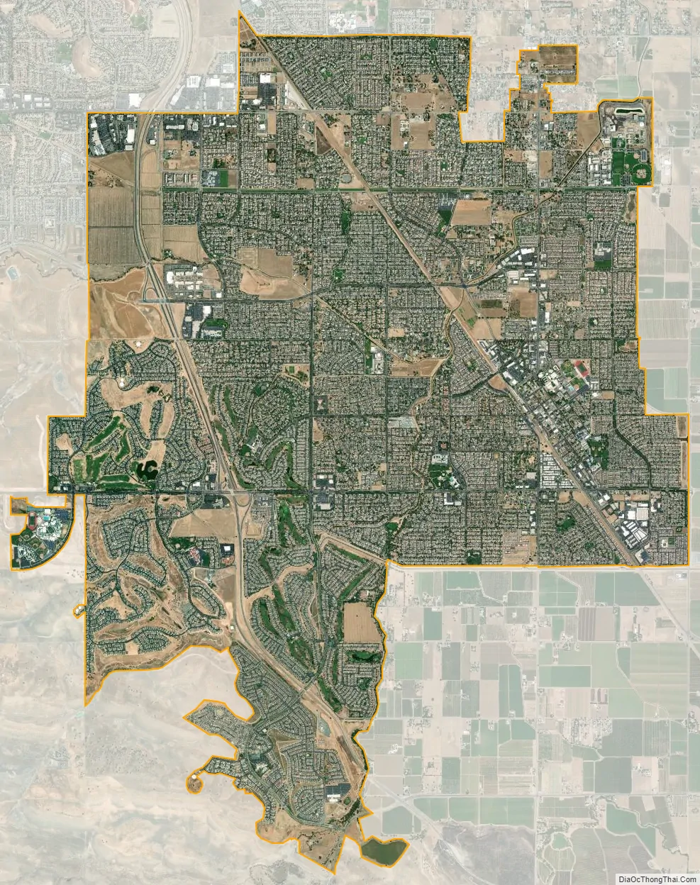
Brentwood city Satellite Map
Geography
As is common with many East Bay towns in Contra Costa County, Mount Diablo is clearly seen from Brentwood. Brentwood is located on the alluvial plain of the Sacramento-San Joaquin Delta. In the picture shown at right, Brentwood lies center right and the city of Antioch, California lies center left. North Peak appears in the foreground between the two cities and largely hides the city of Oakley.
The East Bay Regional Park District is a special San Francisco Bay Area district operating in the East Bay counties of Alameda County and Contra Costa County. East Bay Regional Park District trails and parks are found in Brentwood.
Brentwood has a total area of 14.81 sq mi (38.4 km), of which 14.79 sq mi (38.3 km) is land and 0.02 sq mi (0.05 km) or 0.13% is water. The landscape on the west is marked by rolling hills, non-native grasses, oak trees, fruit orchards, and vineyards, with a number of public golf courses.
Climate
Brentwood borders on the Mediterranean (Csa) and Semi-arid climates (Bsh). Like most of East Contra Costa County, Brentwood lies in the rain shadow of Mt. Diablo and receives less rainfall than many of its neighbors. The wet season is generally October through April, though there may be a day or two of light rainfall in June or September. Summer heat is often moderated by the Delta breeze, especially in the late afternoon, causing temperatures to cool rapidly.
See also
Map of California State and its subdivision:- Alameda
- Alpine
- Amador
- Butte
- Calaveras
- Colusa
- Contra Costa
- Del Norte
- El Dorado
- Fresno
- Glenn
- Humboldt
- Imperial
- Inyo
- Kern
- Kings
- Lake
- Lassen
- Los Angeles
- Madera
- Marin
- Mariposa
- Mendocino
- Merced
- Modoc
- Mono
- Monterey
- Napa
- Nevada
- Orange
- Placer
- Plumas
- Riverside
- Sacramento
- San Benito
- San Bernardino
- San Diego
- San Francisco
- San Joaquin
- San Luis Obispo
- San Mateo
- Santa Barbara
- Santa Clara
- Santa Cruz
- Shasta
- Sierra
- Siskiyou
- Solano
- Sonoma
- Stanislaus
- Sutter
- Tehama
- Trinity
- Tulare
- Tuolumne
- Ventura
- Yolo
- Yuba
- Alabama
- Alaska
- Arizona
- Arkansas
- California
- Colorado
- Connecticut
- Delaware
- District of Columbia
- Florida
- Georgia
- Hawaii
- Idaho
- Illinois
- Indiana
- Iowa
- Kansas
- Kentucky
- Louisiana
- Maine
- Maryland
- Massachusetts
- Michigan
- Minnesota
- Mississippi
- Missouri
- Montana
- Nebraska
- Nevada
- New Hampshire
- New Jersey
- New Mexico
- New York
- North Carolina
- North Dakota
- Ohio
- Oklahoma
- Oregon
- Pennsylvania
- Rhode Island
- South Carolina
- South Dakota
- Tennessee
- Texas
- Utah
- Vermont
- Virginia
- Washington
- West Virginia
- Wisconsin
- Wyoming


