Orcutt is an unincorporated town in Santa Barbara County, California, United States. Located in the Santa Maria Valley, Orcutt is named for William Warren Orcutt, the manager of the Geological, Land and Engineering Departments of the Union Oil Company.
The population of Orcutt was 28,905 at the 2010 census, up from 28,830 at the 2000 census. For statistical purposes, the United States Census Bureau has defined Orcutt as a census-designated place.
| Name: | Orcutt CDP |
|---|---|
| LSAD Code: | 57 |
| LSAD Description: | CDP (suffix) |
| State: | California |
| County: | Santa Barbara County |
| Elevation: | 358 ft (109 m) |
| Total Area: | 11.129 sq mi (28.825 km²) |
| Land Area: | 11.124 sq mi (28.811 km²) |
| Water Area: | 0.005 sq mi (0.014 km²) 0.05% |
| Total Population: | 31,118 |
| Population Density: | 2,800/sq mi (1,100/km²) |
| ZIP code: | 93455, 93457 |
| Area code: | 805 |
| FIPS code: | 0654120 |
Online Interactive Map
Click on ![]() to view map in "full screen" mode.
to view map in "full screen" mode.
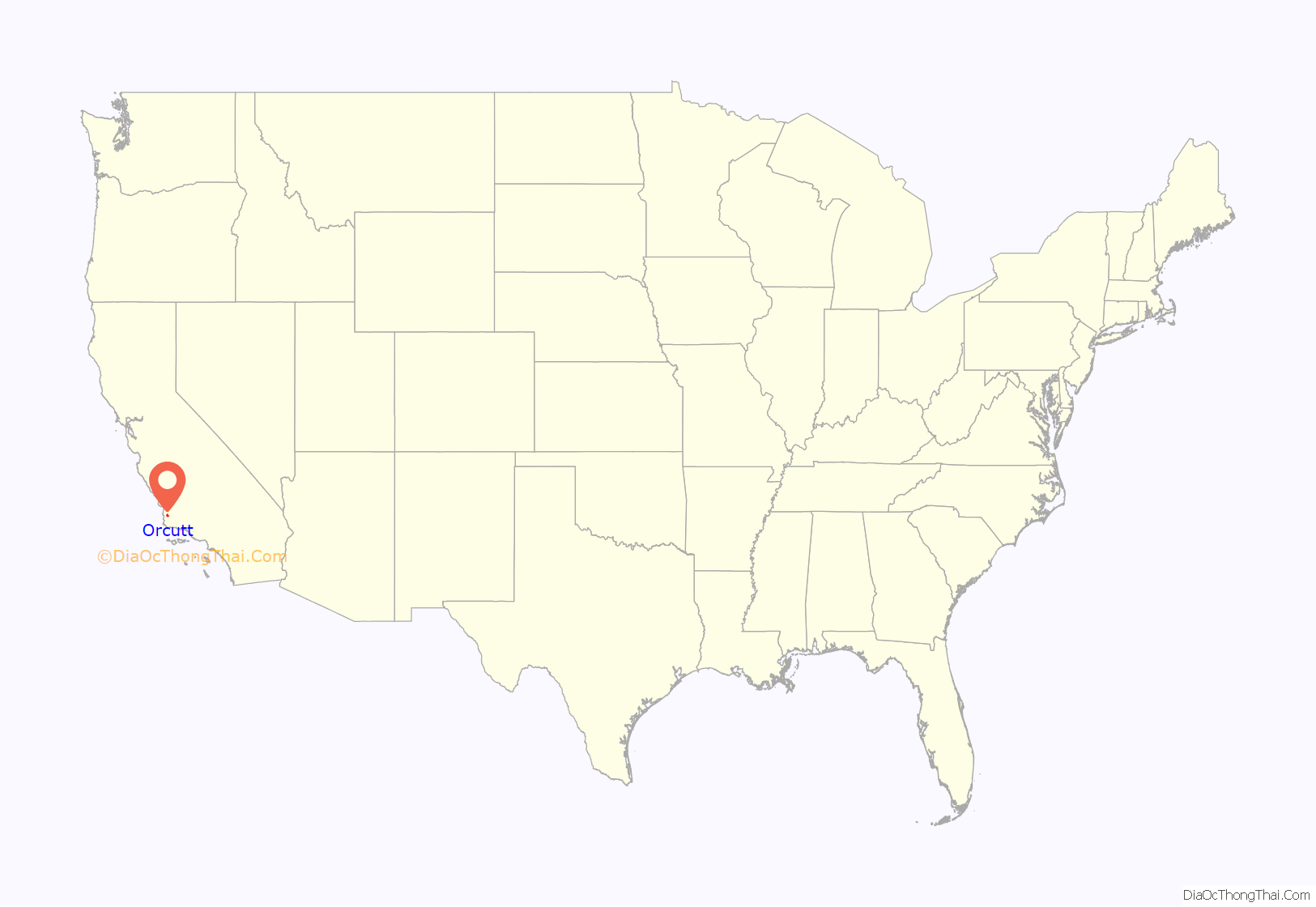
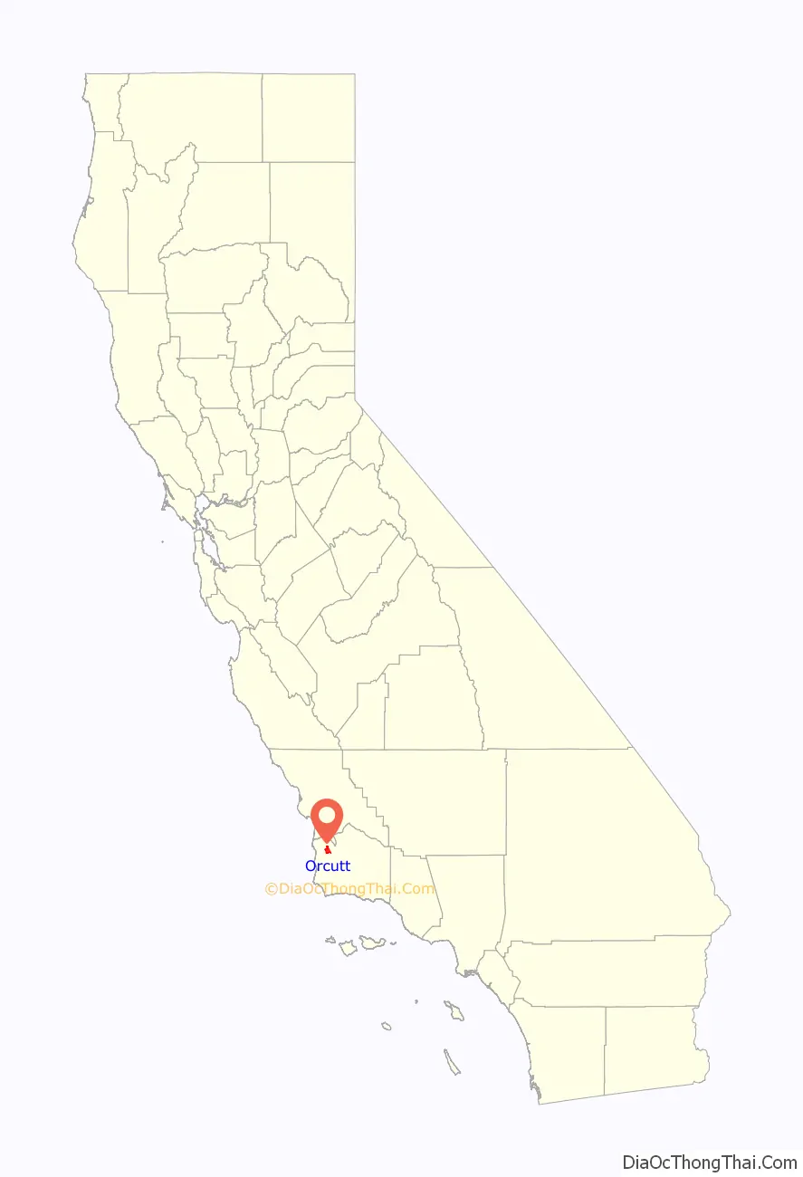
Orcutt location map. Where is Orcutt CDP?
History
Orcutt is named for William Warren Orcutt, the manager of the Geological, Land and Engineering Departments of the Union Oil Company. Known as the “Dean of Petroleum Geologists” Orcutt is credited with discovering fossilized prehistoric animal bones preserved in pools of asphalt on the Hancock Ranch. These would be the first of many fossils excavated from the La Brea Tar Pits. In commemoration of Orcutt’s initial discovery, paleontologists named the La Brea Coyote in W.W. Orcutt’s honor, Canis orcutti.
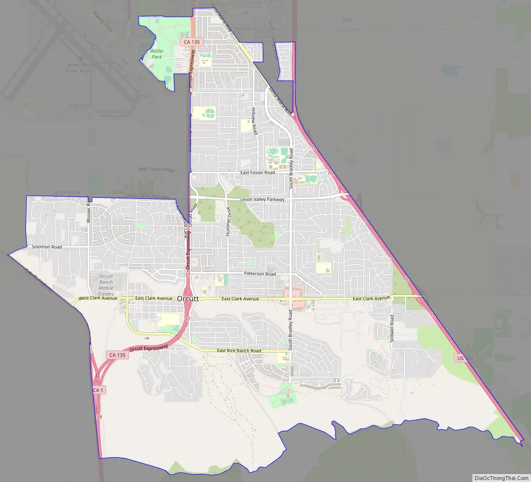
Orcutt Road Map
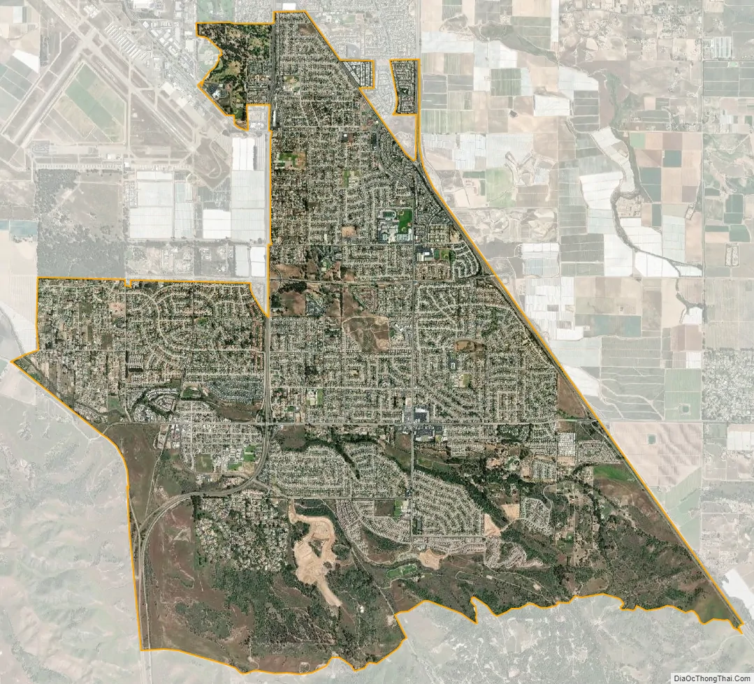
Orcutt city Satellite Map
Geography
According to the United States Census Bureau, the CDP has a total area of 11.1 square miles (29 km), 99.95% of it land and 0.05% of it water.
Orcutt, originally sited along a railroad siding of the Pacific Coast Railroad as a townsite for oil field workers, is now primarily a bedroom community/suburb of Santa Maria, which is adjacent to the north. Located between California State Route 135 on the east and south, and the Cabrillo Highway (Route 1) on the west, the community’s northern boundary is the south side of the Foxenwood section of Santa Maria. In 2005 it was one of the fastest-growing places in Santa Barbara County.
Climate
This region experiences warm (but not hot) and dry summers, with no average monthly temperatures above 71.6 °F. According to the Köppen Climate Classification system, Orcutt has a warm-summer Mediterranean climate, abbreviated “Csb” on climate maps.
See also
Map of California State and its subdivision:- Alameda
- Alpine
- Amador
- Butte
- Calaveras
- Colusa
- Contra Costa
- Del Norte
- El Dorado
- Fresno
- Glenn
- Humboldt
- Imperial
- Inyo
- Kern
- Kings
- Lake
- Lassen
- Los Angeles
- Madera
- Marin
- Mariposa
- Mendocino
- Merced
- Modoc
- Mono
- Monterey
- Napa
- Nevada
- Orange
- Placer
- Plumas
- Riverside
- Sacramento
- San Benito
- San Bernardino
- San Diego
- San Francisco
- San Joaquin
- San Luis Obispo
- San Mateo
- Santa Barbara
- Santa Clara
- Santa Cruz
- Shasta
- Sierra
- Siskiyou
- Solano
- Sonoma
- Stanislaus
- Sutter
- Tehama
- Trinity
- Tulare
- Tuolumne
- Ventura
- Yolo
- Yuba
- Alabama
- Alaska
- Arizona
- Arkansas
- California
- Colorado
- Connecticut
- Delaware
- District of Columbia
- Florida
- Georgia
- Hawaii
- Idaho
- Illinois
- Indiana
- Iowa
- Kansas
- Kentucky
- Louisiana
- Maine
- Maryland
- Massachusetts
- Michigan
- Minnesota
- Mississippi
- Missouri
- Montana
- Nebraska
- Nevada
- New Hampshire
- New Jersey
- New Mexico
- New York
- North Carolina
- North Dakota
- Ohio
- Oklahoma
- Oregon
- Pennsylvania
- Rhode Island
- South Carolina
- South Dakota
- Tennessee
- Texas
- Utah
- Vermont
- Virginia
- Washington
- West Virginia
- Wisconsin
- Wyoming


