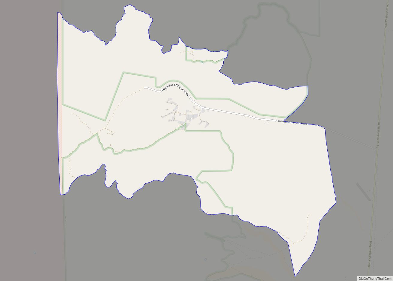
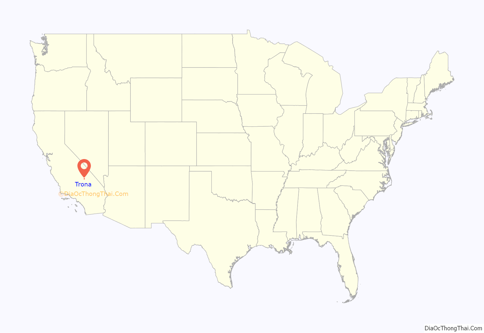
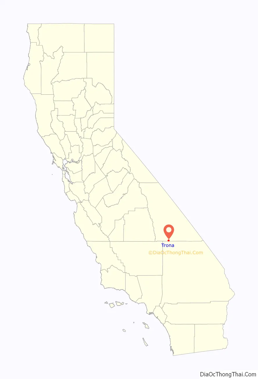
Trona is an unincorporated community in San Bernardino County, California. In 2015 it had a population of approximately 1,900. Trona is at the western edge of Searles Lake, a dry lake bed in Searles Valley, southwest of Death Valley. The town takes its name from the mineral trona, abundant in the lakebed. It is about 170 miles (274 km) northeast of Los Angeles, on State Route 178. The ZIP code is 93562.
Trona is known for its isolation and desolation, as well as the nearby Trona Pinnacles. The local school plays on a dirt football field because the searing heat and highly saline soil kills grass. At one point it boasted an 18-hole golf course that was all sand except for the “greens”, which were a softer grade of brown colored dirt.
| Name: | Trona CDP |
|---|---|
| LSAD Code: | 57 |
| LSAD Description: | CDP (suffix) |
| State: | California |
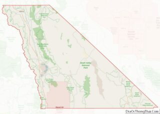
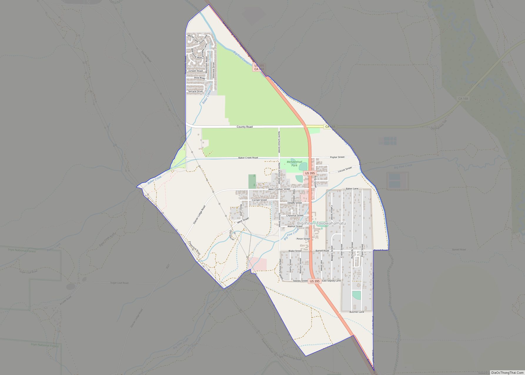
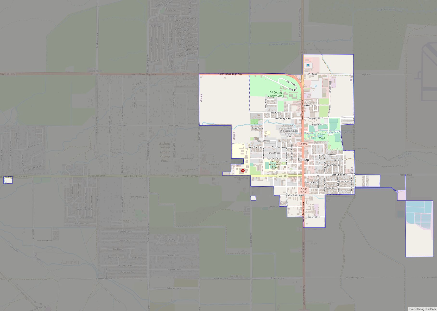
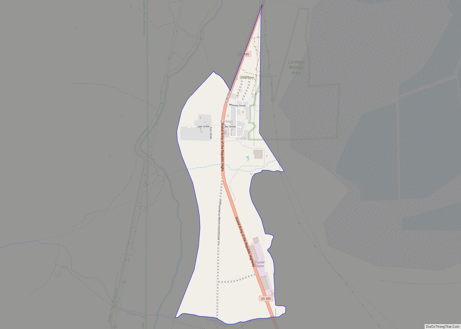
| County: | Inyo County |
| ZIP code: | 93562 |
| FIPS code: | 0680515 |
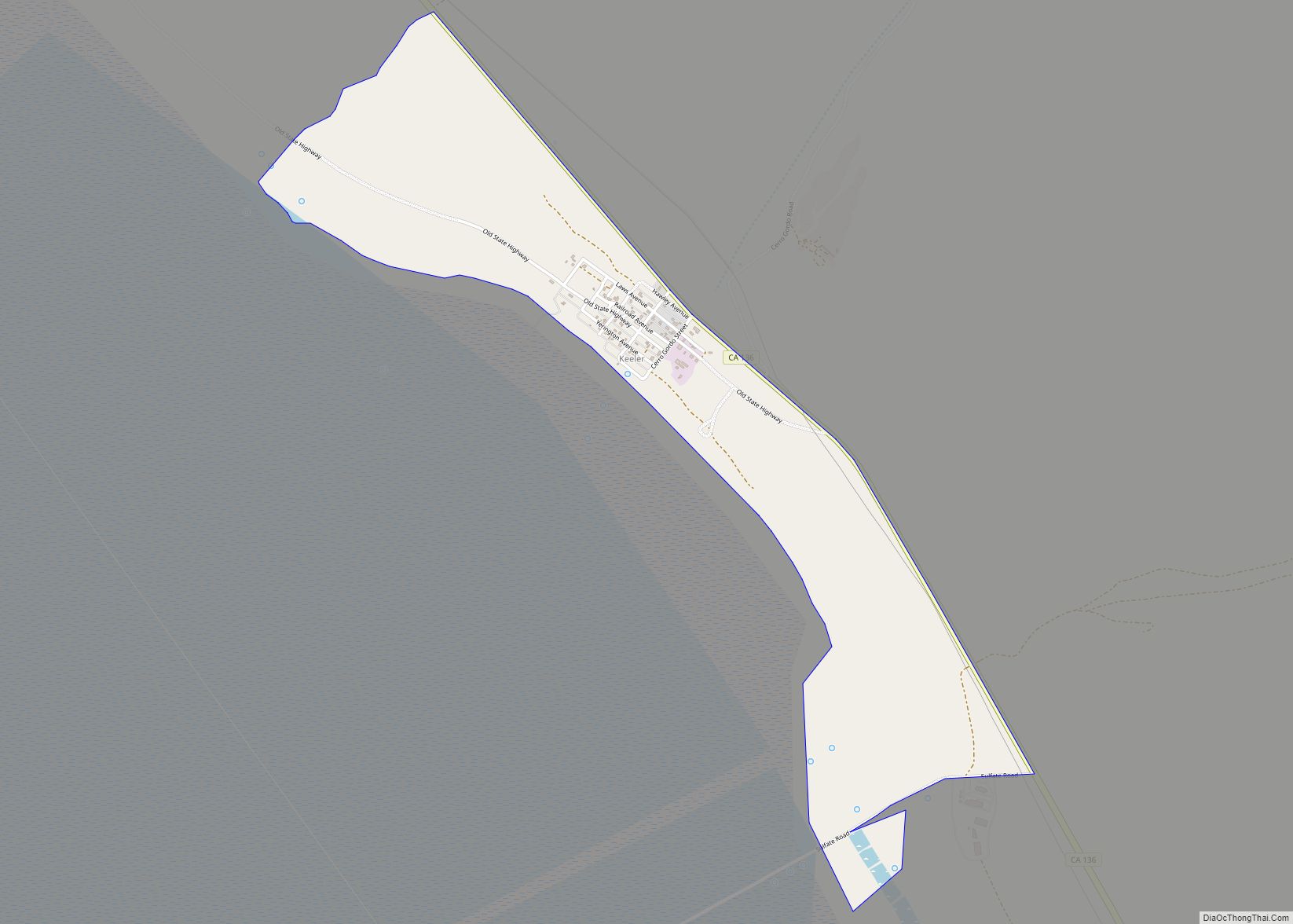
Online Interactive Map
Click on ![]() to view map in "full screen" mode.
to view map in "full screen" mode.
Trona location map. Where is Trona CDP?
History
Starting in the late 1800s mining industry set up around Searles Dry Lake to mine borax.
Trona was officially established in 1913, as a self-contained company town, wholly operated by its resident mining company to house employees. Employees were paid in company scrip instead of cash. The mining company also built a library, a scrip-accepting for-profit grocery store, a school, basic housing, and minimal recreation facilities. The Trona Railway was built in 1913–14 to provide the town with a rail connection to the Southern Pacific (now the Union Pacific) line at Searles. The railway still operates today.
Economic booms and busts followed. Its most notable boom occurred during World War I, when Trona was the only reliable American source of potash, an important element used in the production of gunpowder. In 1974, the company, now known as American Potash, was bought by Kerr-McGee, who did not want a company town. Their attempts to make everybody leave was resisted by the inhabitants.
Today, Searles Valley Minerals Inc.’s soda ash processing plant remains the largest firm in town. Other operations nearby include evaporative salt extraction from the dry lake bed’s surface, and a lime quarry. Searles Valley Minerals is the largest employer in Trona, and many employees live in Ridgecrest, California, commuting daily to Trona.
Since its heyday, Trona’s population has decreased, with more and more services relocating to the nearest town, Ridgecrest.
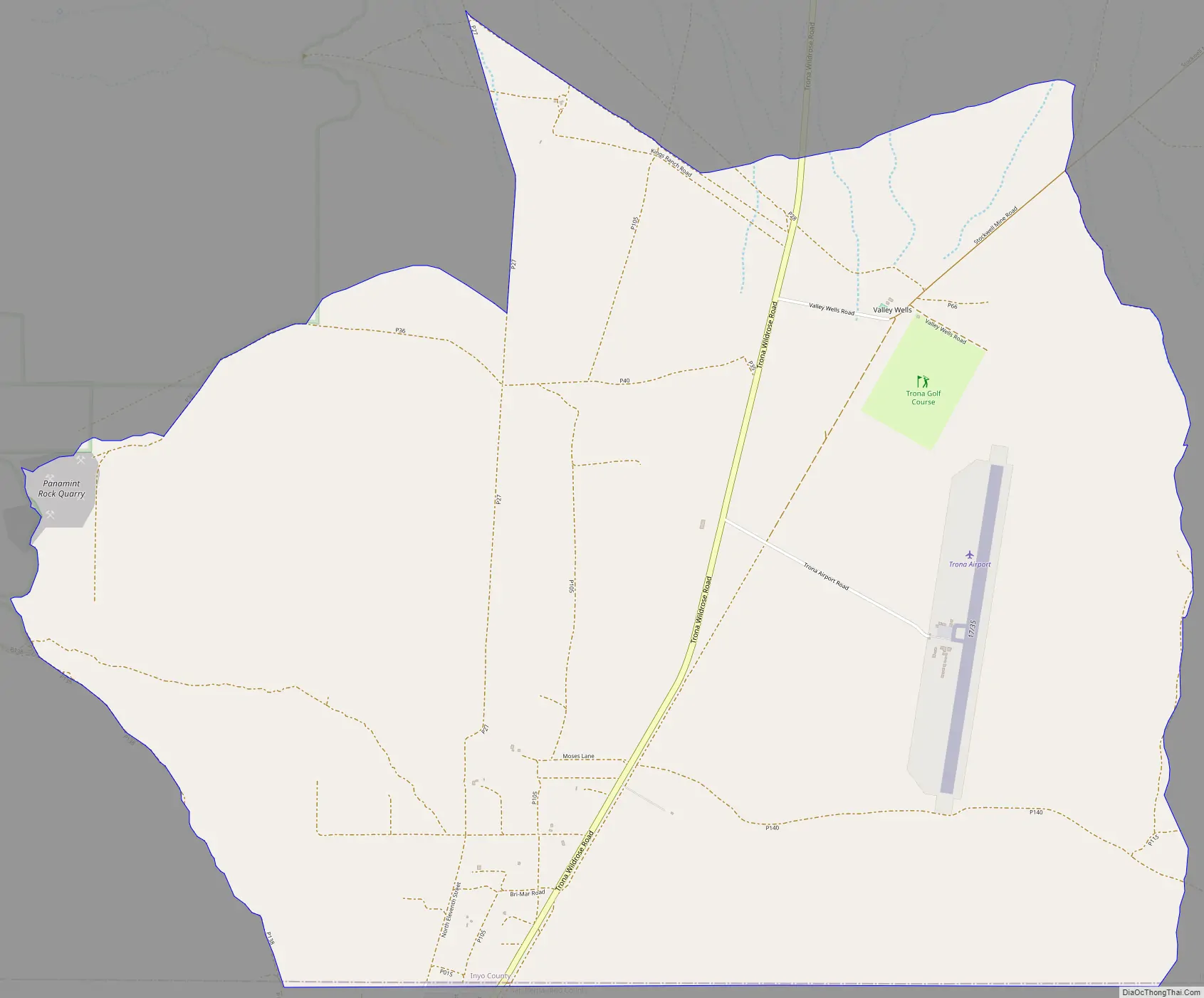
Trona Road Map
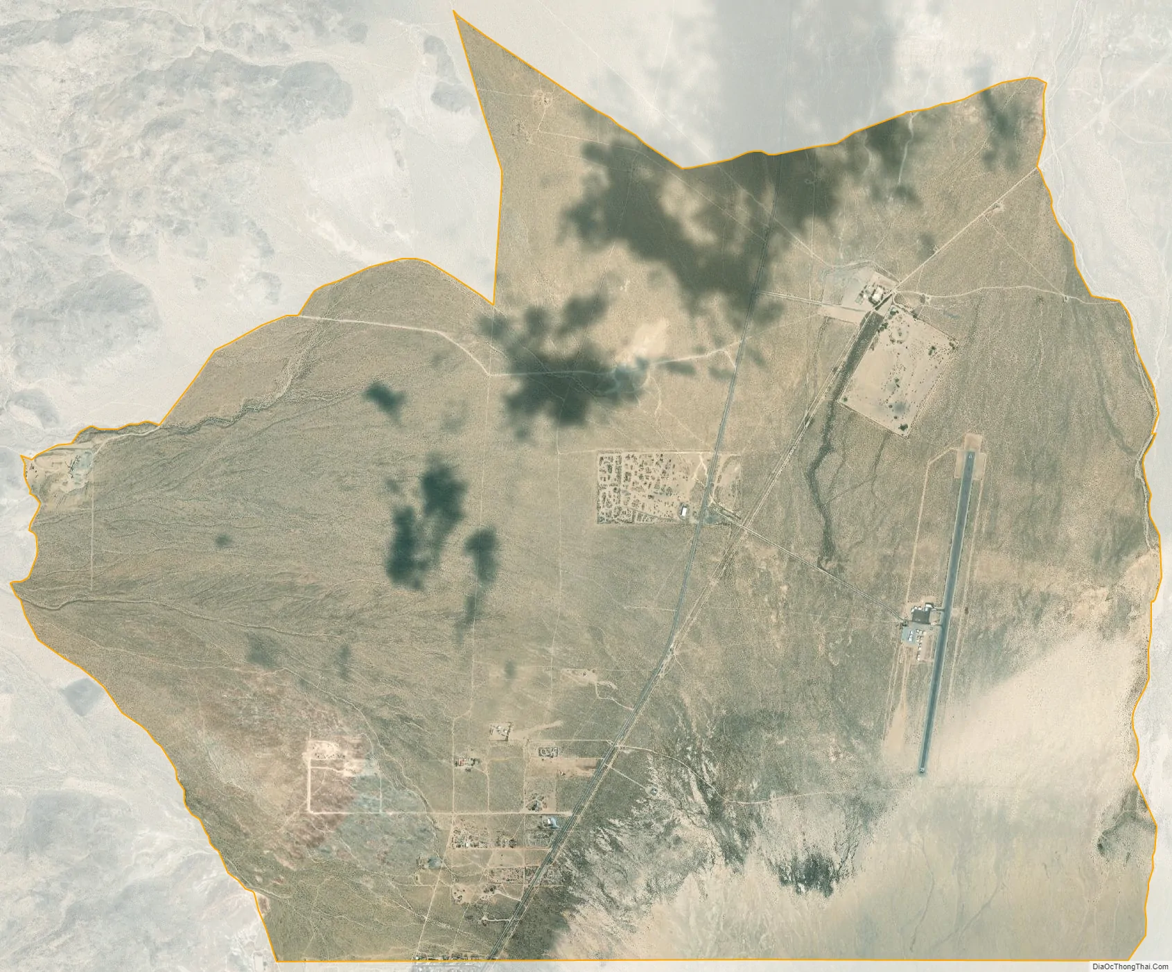
Trona city Satellite Map
Geography
The same collection of geologic forces which created the Searles Valley where Trona sits also created the natural resource of Searles Dry Lake, which contains rich deposits of chemicals, including dozens of minerals.
Located a few miles to the south are the Trona Pinnacles, an unusual landscape consisting of more than 500 tufa spires, some as high as 140 feet, rising from the bed of the Searles Lake basin.
Trona is a seismically active area, and was heavily affected by the 2019 Ridgecrest earthquakes. Trona is located in the Eastern California Shear Zone, a seismically active zone that accommodates up to 25% of the fault movement between the Pacific and North American plates.
See also
Map of California State and its subdivision:- Alameda
- Alpine
- Amador
- Butte
- Calaveras
- Colusa
- Contra Costa
- Del Norte
- El Dorado
- Fresno
- Glenn
- Humboldt
- Imperial
- Inyo
- Kern
- Kings
- Lake
- Lassen
- Los Angeles
- Madera
- Marin
- Mariposa
- Mendocino
- Merced
- Modoc
- Mono
- Monterey
- Napa
- Nevada
- Orange
- Placer
- Plumas
- Riverside
- Sacramento
- San Benito
- San Bernardino
- San Diego
- San Francisco
- San Joaquin
- San Luis Obispo
- San Mateo
- Santa Barbara
- Santa Clara
- Santa Cruz
- Shasta
- Sierra
- Siskiyou
- Solano
- Sonoma
- Stanislaus
- Sutter
- Tehama
- Trinity
- Tulare
- Tuolumne
- Ventura
- Yolo
- Yuba
- Alabama
- Alaska
- Arizona
- Arkansas
- California
- Colorado
- Connecticut
- Delaware
- District of Columbia
- Florida
- Georgia
- Hawaii
- Idaho
- Illinois
- Indiana
- Iowa
- Kansas
- Kentucky
- Louisiana
- Maine
- Maryland
- Massachusetts
- Michigan
- Minnesota
- Mississippi
- Missouri
- Montana
- Nebraska
- Nevada
- New Hampshire
- New Jersey
- New Mexico
- New York
- North Carolina
- North Dakota
- Ohio
- Oklahoma
- Oregon
- Pennsylvania
- Rhode Island
- South Carolina
- South Dakota
- Tennessee
- Texas
- Utah
- Vermont
- Virginia
- Washington
- West Virginia
- Wisconsin
- Wyoming