Lompoc (/ˈlɒmpoʊk/ LOM-poke; Chumanshan Purisimeño: Lum Poc) is a city in Santa Barbara County, California. Located on the Central Coast, Lompoc has a population of 43,834 as of July 2021.
Lompoc has been inhabited for thousands of years by the Chumash people, who called the area Lum Poc, meaning ‘stagnant waters’ or ‘lagoon’ in the local Purisimeño language. The Spanish called the area Lompoco after Fermín de Lasuén had established Misión La Purísima in 1787. In 1837, the Mexican government sold the area as the Rancho Lompoc land grant. Following the U.S. conquest of California, multiple settlers acquired the Lompoc Valley, including William Welles Hollister, who sold the land around the mission to the Lompoc Valley Land Company, which established a temperance colony which incorporated in 1888 as Lompoc. Lompoc is often considered a military town because it is near Vandenberg Space Force Base.
| Name: | Lompoc city |
|---|---|
| LSAD Code: | 25 |
| LSAD Description: | city (suffix) |
| State: | California |
| County: | Santa Barbara County |
| Incorporated: | August 13, 1888 |
| Elevation: | 105 ft (32 m) |
| Total Area: | 11.70 sq mi (30.31 km²) |
| Land Area: | 11.62 sq mi (30.10 km²) |
| Water Area: | 0.08 sq mi (0.20 km²) 0.66% |
| Total Population: | 43,834 |
| Population Density: | 3,700/sq mi (1,400/km²) |
| ZIP code: | 93436–93438 |
| Area code: | 805 |
| FIPS code: | 0642524 |
| GNISfeature ID: | 1652745 |
| Website: | www.cityoflompoc.com |
Online Interactive Map
Click on ![]() to view map in "full screen" mode.
to view map in "full screen" mode.
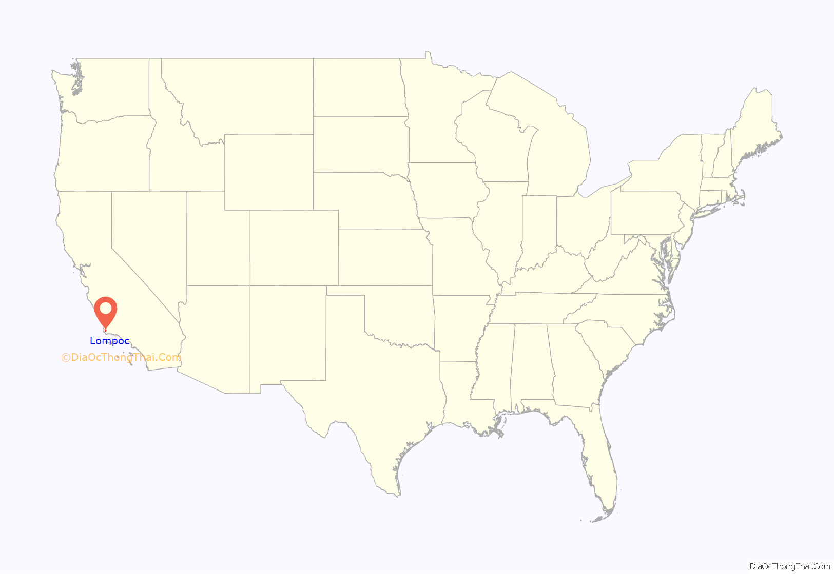
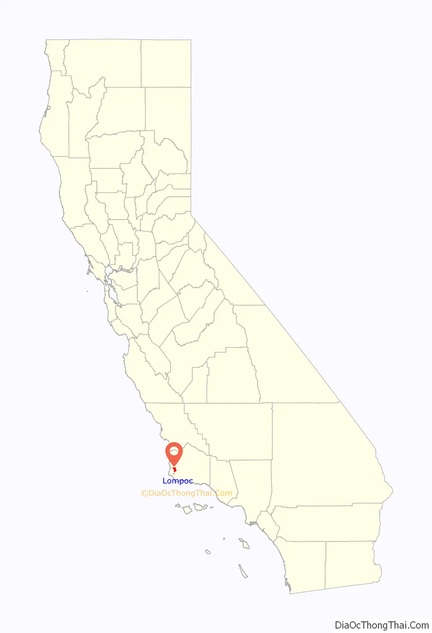
Lompoc location map. Where is Lompoc city?
History
Before the Spanish conquest, the area around Lompoc was inhabited by the Chumash people. The Original Mission La Purísima was established in 1787 near what is now the southern edge of the city. Purisimeño, a Chumashan language, was spoken in the region during the mission period. After an earthquake destroyed the mission in 1812, it was moved to its present location 1 mile (1.6 km) northeast of the present city. After independence from the Spanish Empire, the First Mexican Empire was established in 1821. The Mexicans secularized the Spanish missions in 1833, and La Purisima Mission fell into ruins.
In 1893, a diatomaceous earth mine, formerly owned by Johns Manville, World Mineral, and Celite corporation, now Imerys Inc., opened in the southern hills in Miguelito Canyon. It became (and still is) the largest marine diatomite mine in the world, and at one time was the largest employer in the valley. While owned by Johns Manville, the mine employed more than 900 people at its peak, and built housing for its employees onsite and in town; the houses in town are next to JM park, which was donated to the city by the mine. Another diatomaceous earth company, Grefco, operated here from the 1940s until 1998. The remnants of its mine at the northeast end of town were torn down in 2001.
In 1909, the Sibyl Marston—at the time, the largest steam schooner built on the West Coast—sank nearby while carrying 1,100,000 board feet (2,600 m) of lumber. Many of the older Lompoc homes were built with lumber from the shipwreck. The wreckage can still be seen south of Surf Beach.
The coastal branch of the Southern Pacific Railroad opened around 1900 and eventually replaced ship transportation. A paved road linked Lompoc to Buellton and the rest of California around 1920. In 1923, the Honda Point disaster, the U.S.’s largest peacetime naval accident, occurred just off the coast; nine U.S. destroyers ran aground, killing 23 people. During the Great Depression, La Purisima Mission was restored by the Civilian Conservation Corps (CCC). During World War II, the coast west of Lompoc was the site of Camp Cooke, a United States Army training camp where large units could practice maneuvers.
Lompoc grew slowly until 1958, when the United States Air Force announced that the former Camp Cooke would be a test site for the Thor family of intermediate-range ballistic missiles and the first operational base for the SM-65 Atlas, an intercontinental ballistic missile. The city then began to grow rapidly to provide housing for thousands of civilians and contractors employed at what was soon renamed Vandenberg Air Force Base. It was the Air Force’s first missile base.
The Space Shuttle program was slated to begin launches from Vandenberg in the late 1980s, and the city experienced a boom in restaurant and hotel construction in anticipation of tourists coming to see shuttle launches. However, when the Challenger exploded during take-off from Cape Canaveral in 1986, the West Coast shuttle program was terminated, sending Lompoc into a severe recession.
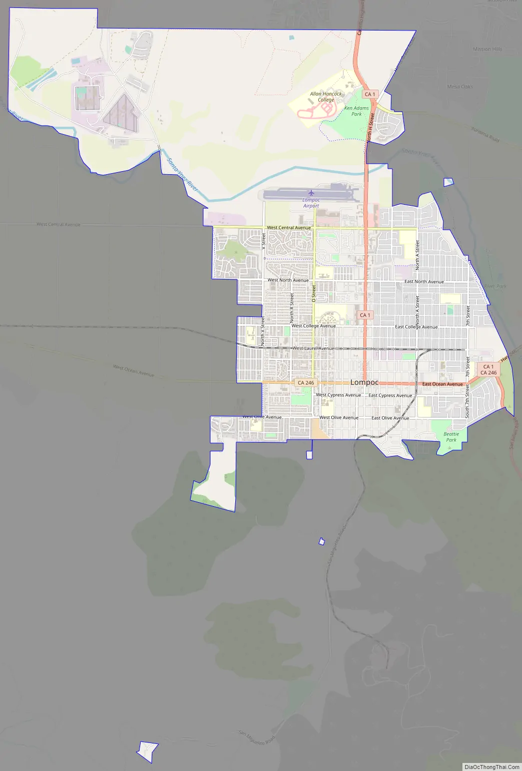
Lompoc Road Map
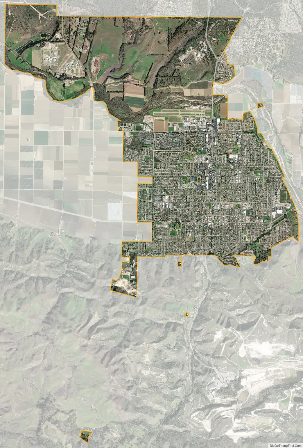
Lompoc city Satellite Map
Geography
According to the United States Census Bureau, the city has a total area of 11.7 square miles (30 km), 99.34% of it land and 0.66% of it water.
Most of the city is in the valley of the Santa Ynez River, at an elevation of about 80–100 feet (25–30 meters). Expansion has been to the north, on higher ground known as Vandenberg Village, with elevations of 150–300 feet (50–100 meters). Like most rivers in Southern California, the Santa Ynez River does not have a surface flow for most of the year. Underground flow in the sandy river bed recharges the aquifer beneath the city, from which nine wells (with a tenth one planned) supply the city with water. Unlike many other cities in Southern California, Lompoc is not connected to the State Water Project.
Climate
Lompoc has a cool Mediterranean climate (Köppen climate classification Csb), typical of coastal California. The city is mostly sunny, with an ocean breeze. Fog is common. Snow is virtually unknown. The highest recorded temperature was 110 °F or 43.3 °C in 1987, and the lowest recorded temperature was 20 °F or −6.7 °C in 1990.
See also
Map of California State and its subdivision:- Alameda
- Alpine
- Amador
- Butte
- Calaveras
- Colusa
- Contra Costa
- Del Norte
- El Dorado
- Fresno
- Glenn
- Humboldt
- Imperial
- Inyo
- Kern
- Kings
- Lake
- Lassen
- Los Angeles
- Madera
- Marin
- Mariposa
- Mendocino
- Merced
- Modoc
- Mono
- Monterey
- Napa
- Nevada
- Orange
- Placer
- Plumas
- Riverside
- Sacramento
- San Benito
- San Bernardino
- San Diego
- San Francisco
- San Joaquin
- San Luis Obispo
- San Mateo
- Santa Barbara
- Santa Clara
- Santa Cruz
- Shasta
- Sierra
- Siskiyou
- Solano
- Sonoma
- Stanislaus
- Sutter
- Tehama
- Trinity
- Tulare
- Tuolumne
- Ventura
- Yolo
- Yuba
- Alabama
- Alaska
- Arizona
- Arkansas
- California
- Colorado
- Connecticut
- Delaware
- District of Columbia
- Florida
- Georgia
- Hawaii
- Idaho
- Illinois
- Indiana
- Iowa
- Kansas
- Kentucky
- Louisiana
- Maine
- Maryland
- Massachusetts
- Michigan
- Minnesota
- Mississippi
- Missouri
- Montana
- Nebraska
- Nevada
- New Hampshire
- New Jersey
- New Mexico
- New York
- North Carolina
- North Dakota
- Ohio
- Oklahoma
- Oregon
- Pennsylvania
- Rhode Island
- South Carolina
- South Dakota
- Tennessee
- Texas
- Utah
- Vermont
- Virginia
- Washington
- West Virginia
- Wisconsin
- Wyoming


