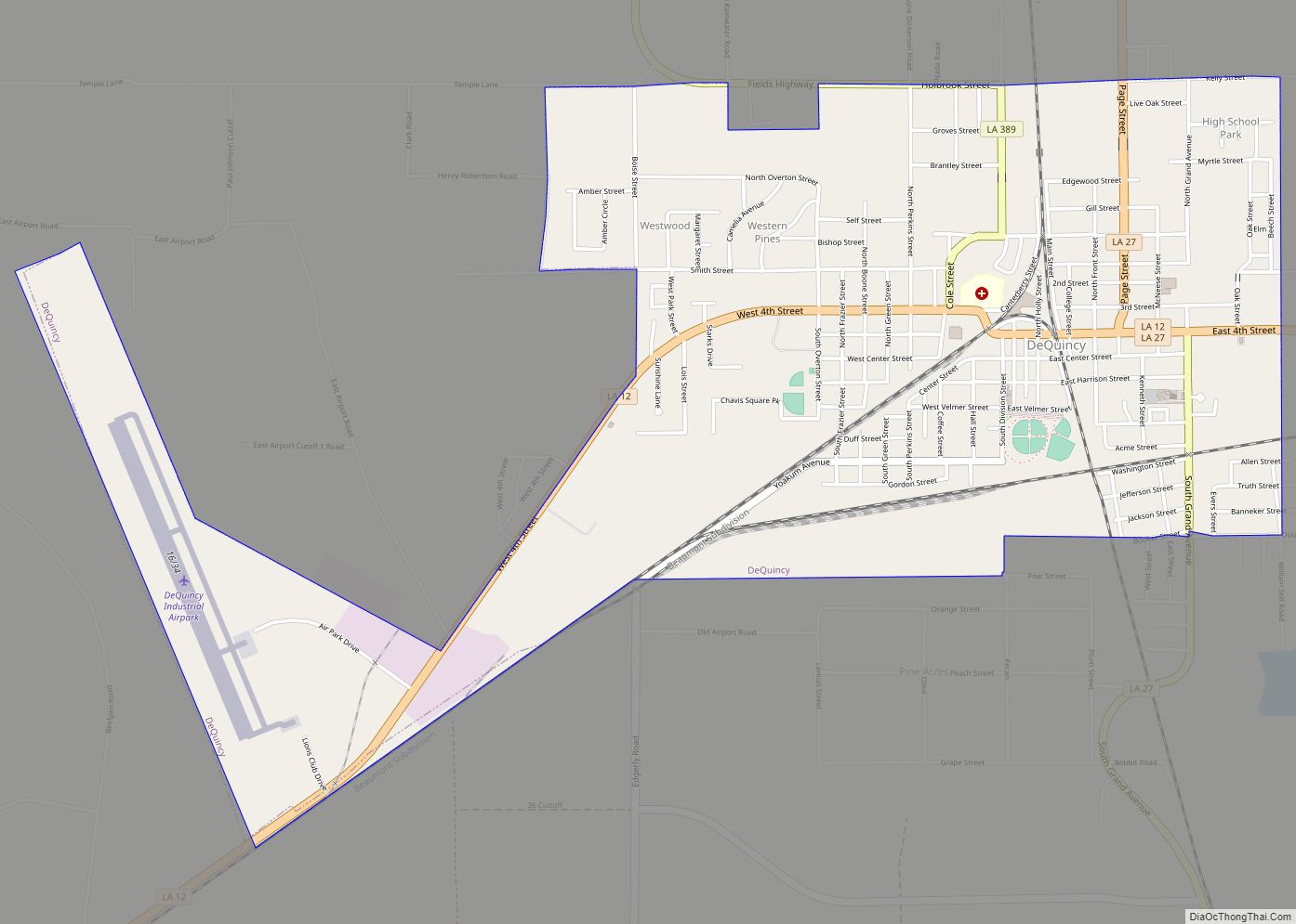
DeQuincy is the northernmost city in Calcasieu Parish, Louisiana, United States. The population was 3,235 at the 2010 census. DeQuincy is part of the Lake Charles metropolitan statistical area.
| Name: | DeQuincy city |
|---|---|
| LSAD Code: | 25 |
| LSAD Description: | city (suffix) |
| State: | Louisiana |
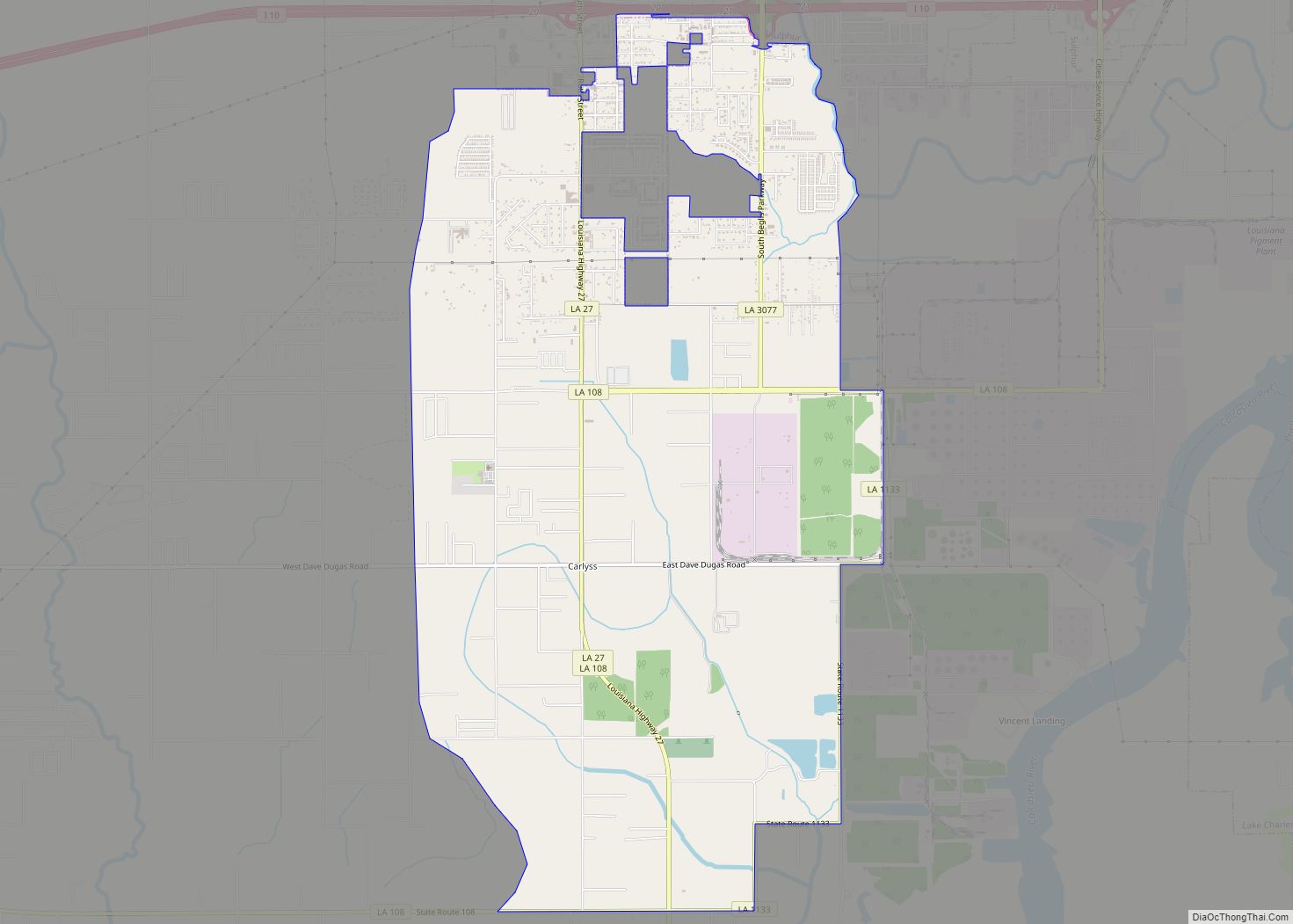
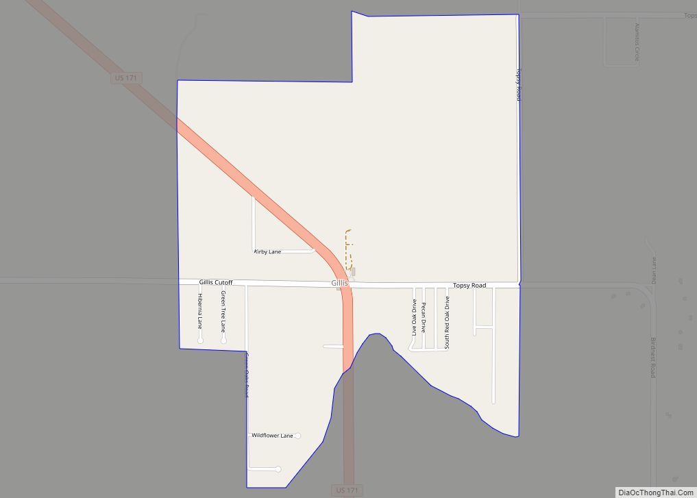
| County: | Calcasieu Parish |
| Elevation: | 79 ft (24 m) |
| Total Area: | 3.19 sq mi (8.27 km²) |
| Land Area: | 3.19 sq mi (8.27 km²) |
| Water Area: | 0.00 sq mi (0.00 km²) |
| Total Population: | 3,144 |
| Population Density: | 984.96/sq mi (380.27/km²) |
| Area code: | 337 |
| FIPS code: | 2220575 |
| Website: | www.dequincy.org |
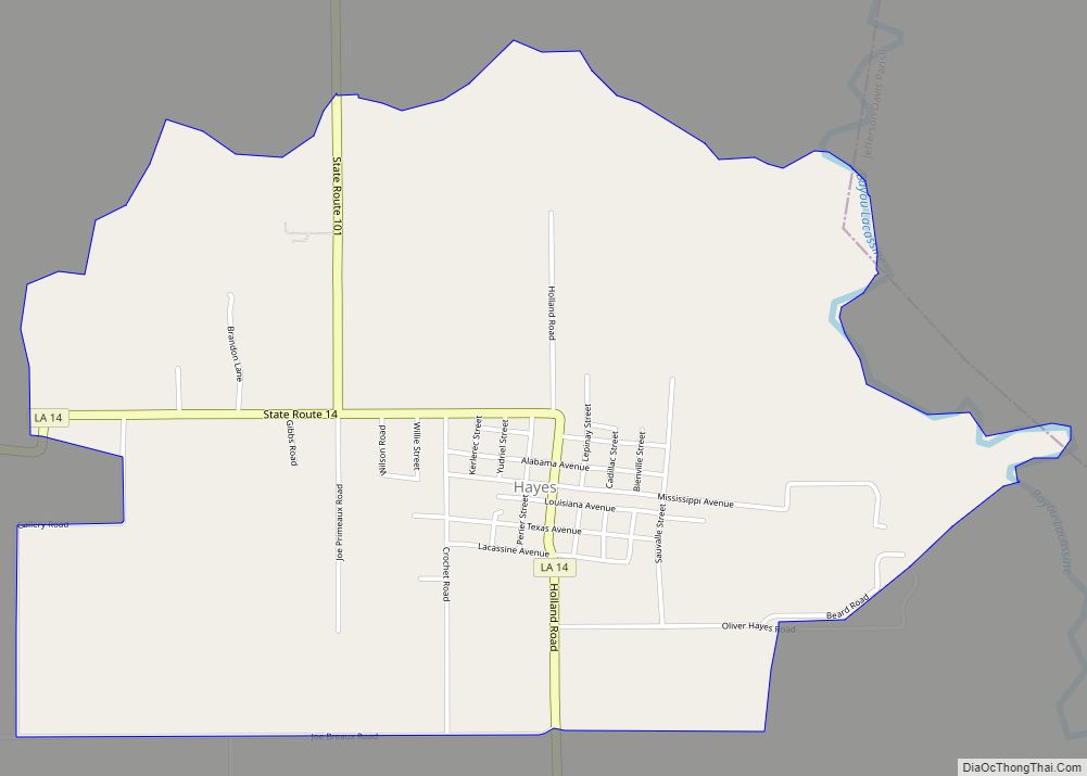
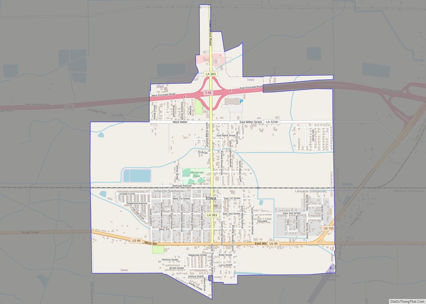
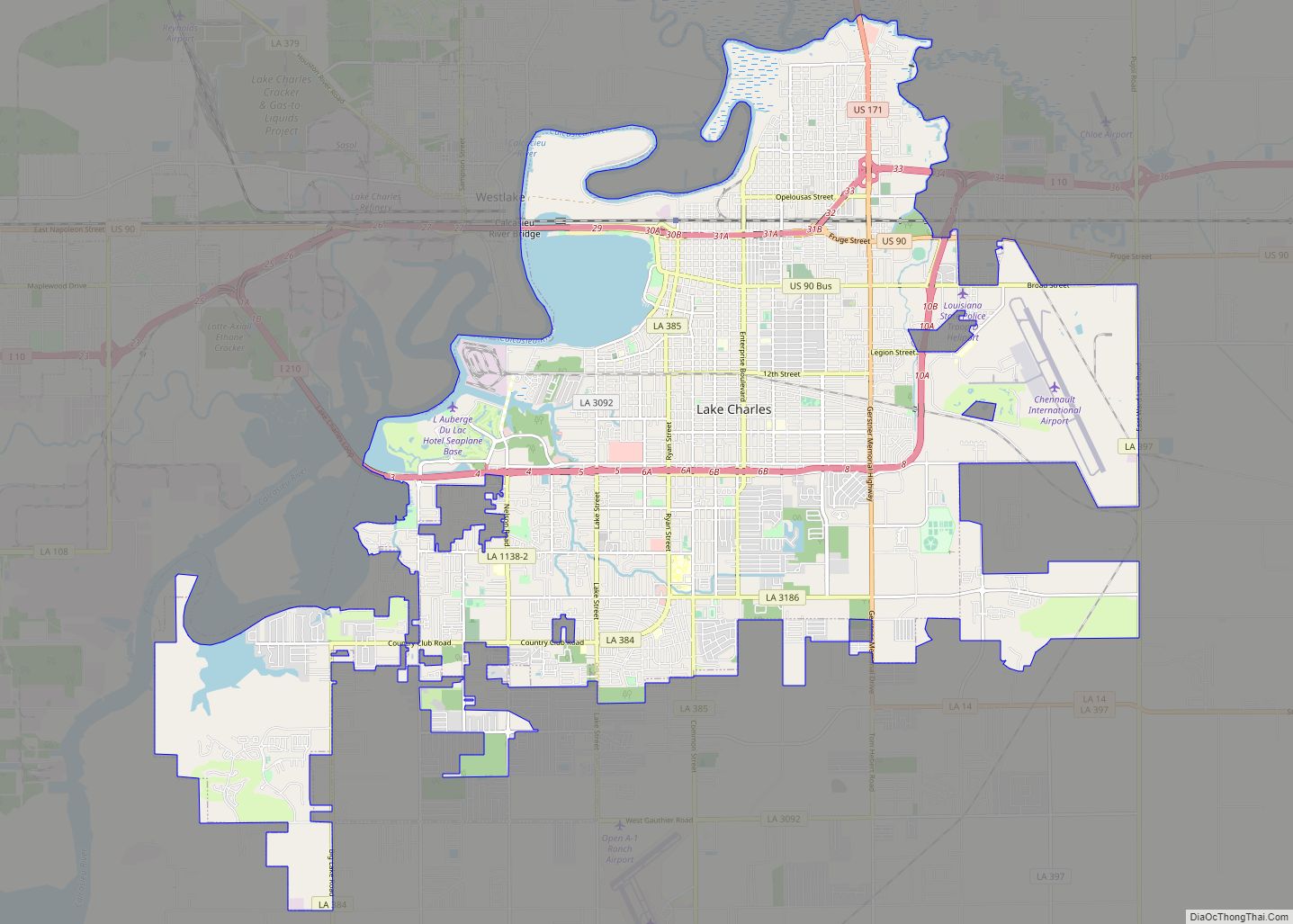
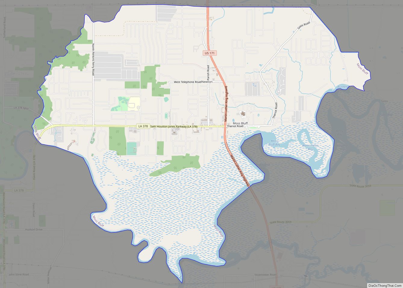
Online Interactive Map
Click on ![]() to view map in "full screen" mode.
to view map in "full screen" mode.
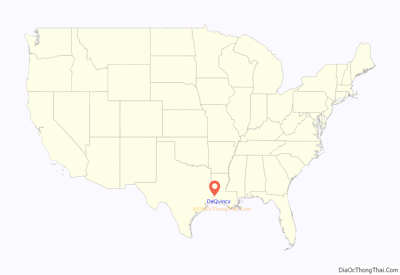
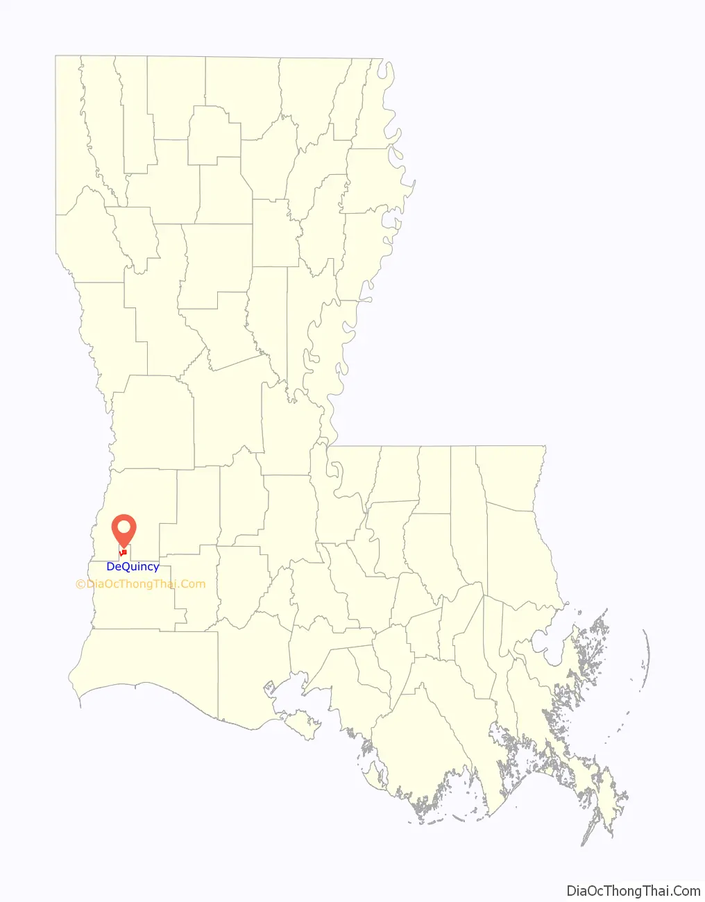
DeQuincy location map. Where is DeQuincy city?
History
DeQuincy was founded in 1897 as a railroad town with the Calcasieu, Vernon & Shreveport Railway Company (CV&S) having been completed and Arthur Stilwell’s Kansas City, Shreveport & Gulf Railway Company (KCS&G), that was owned by the Kansas City, Pittsburg and Gulf Railroad (KCP&G), completed in 1897.
On 8 March 1944, two Air Force aircraft from nearby Barksdale Air Force Base collided overhead killing seven people.
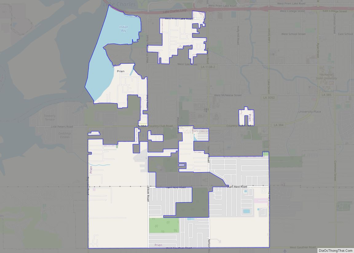
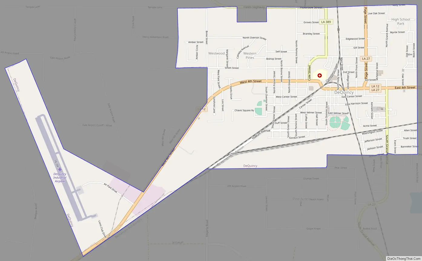
DeQuincy Road Map
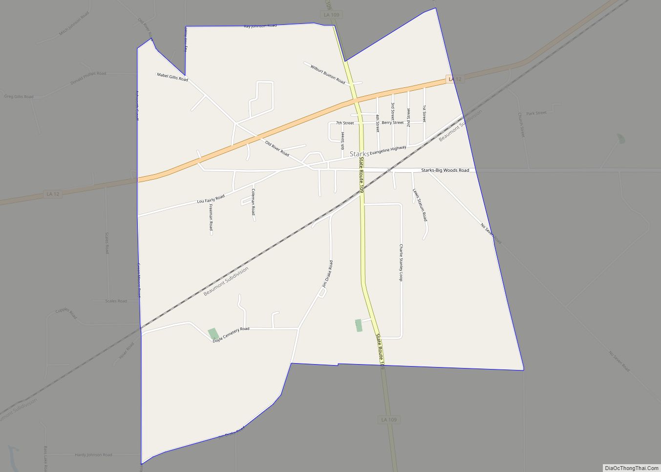
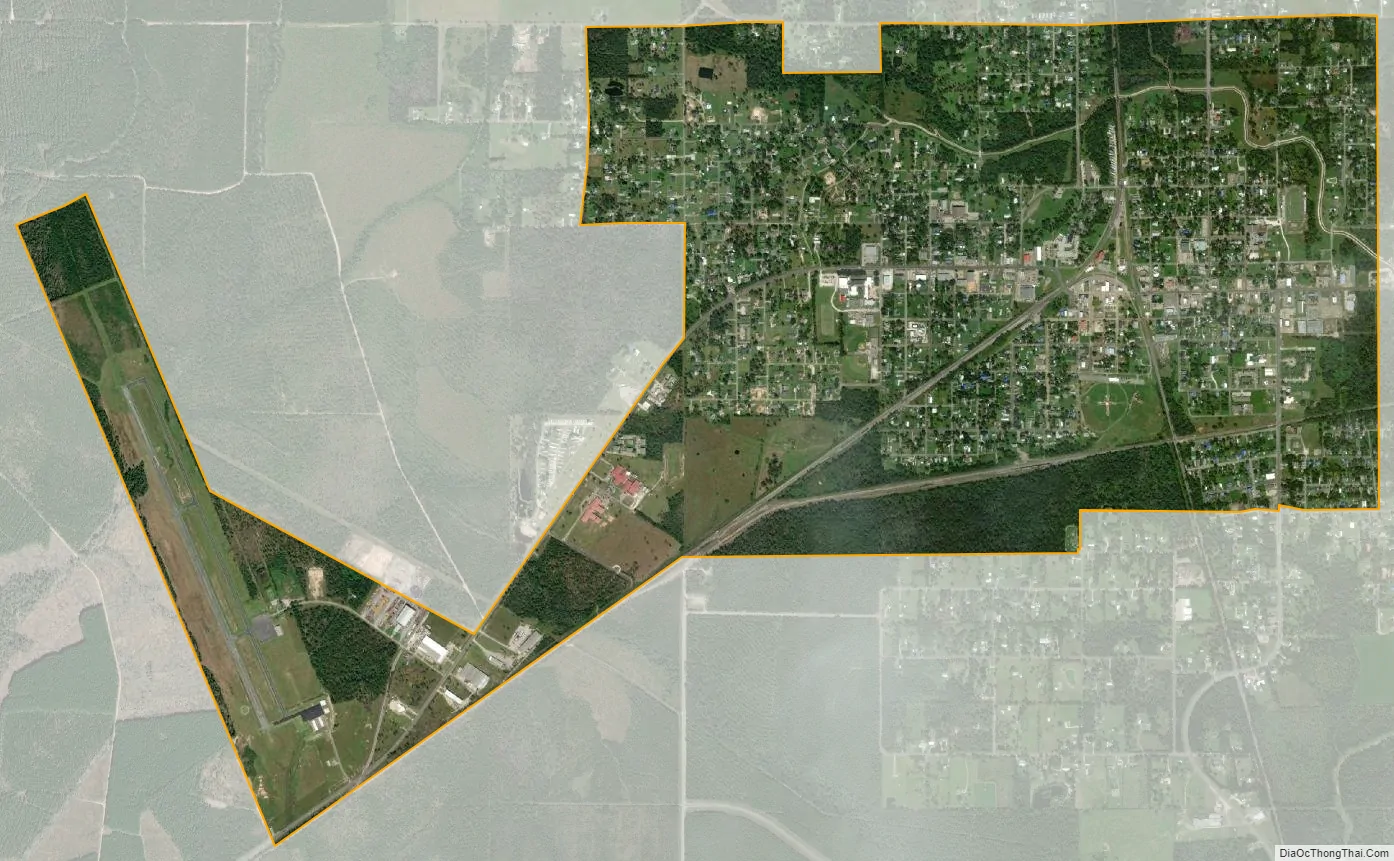
DeQuincy city Satellite Map
Geography
DeQuincy is located in northern Calcasieu Parish at 30°27′3″N 93°26′8″W / 30.45083°N 93.43556°W / 30.45083; -93.43556 (30.450915, -93.435613). Louisiana Highways 12 and 27 pass through the center of town: LA 12 leads east 36 miles (58 km) to Kinder and southwest 22 miles (35 km) to Deweyville, Texas, while LA 27 leads north 31 miles (50 km) to DeRidder and south 17 miles (27 km) to Sulphur, 9 miles (14 km) west of Lake Charles.
According to the United States Census Bureau, DeQuincy has a total area of 3.2 square miles (8.2 km), all land.
See also
Map of Louisiana State and its subdivision:- Acadia
- Allen
- Ascension
- Assumption
- Avoyelles
- Beauregard
- Bienville
- Bossier
- Caddo
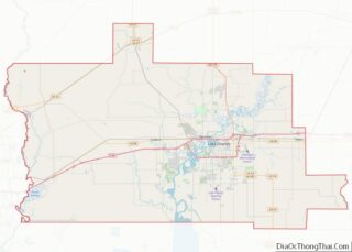
- Calcasieu
- Caldwell
- Cameron
- Catahoula
- Claiborne
- Concordia
- De Soto
- East Baton Rouge
- East Carroll
- East Feliciana
- Evangeline
- Franklin
- Grant
- Iberia
- Iberville
- Jackson
- Jefferson
- Jefferson Davis
- La Salle
- Lafayette
- Lafourche
- Lincoln
- Livingston
- Madison
- Morehouse
- Natchitoches
- Orleans
- Ouachita
- Plaquemines
- Pointe Coupee
- Rapides
- Red River
- Richland
- Sabine
- Saint Bernard
- Saint Charles
- Saint Helena
- Saint James
- Saint John the Baptist
- Saint Landry
- Saint Martin
- Saint Mary
- Saint Tammany
- Tangipahoa
- Tensas
- Terrebonne
- Union
- Vermilion
- Vernon
- Washington
- Webster
- West Baton Rouge
- West Carroll
- West Feliciana
- Winn
- Alabama
- Alaska
- Arizona
- Arkansas
- California
- Colorado
- Connecticut
- Delaware
- District of Columbia
- Florida
- Georgia
- Hawaii
- Idaho
- Illinois
- Indiana
- Iowa
- Kansas
- Kentucky
- Louisiana
- Maine
- Maryland
- Massachusetts
- Michigan
- Minnesota
- Mississippi
- Missouri
- Montana
- Nebraska
- Nevada
- New Hampshire
- New Jersey
- New Mexico
- New York
- North Carolina
- North Dakota
- Ohio
- Oklahoma
- Oregon
- Pennsylvania
- Rhode Island
- South Carolina
- South Dakota
- Tennessee
- Texas
- Utah
- Vermont
- Virginia
- Washington
- West Virginia
- Wisconsin
- Wyoming