Elizabeth is a village in Allen Parish, Louisiana, United States with population of 417 in the 2020 census. It was a town and had population of 532 at the 2010 census.
| Name: | Elizabeth town |
|---|---|
| LSAD Code: | 43 |
| LSAD Description: | town (suffix) |
| State: | Louisiana |
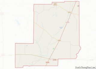
| County: | Allen Parish |
| Elevation: | 144 ft (44 m) |
| Total Area: | 1.65 sq mi (4.28 km²) |
| Land Area: | 1.65 sq mi (4.27 km²) |
| Water Area: | 0.01 sq mi (0.02 km²) |
| Total Population: | 417 |
| Population Density: | 253.03/sq mi (97.72/km²) |
| Area code: | 318 |
| FIPS code: | 2223235 |
| Website: | https://villageofelizabeth.com |
Online Interactive Map
Click on ![]() to view map in "full screen" mode.
to view map in "full screen" mode.
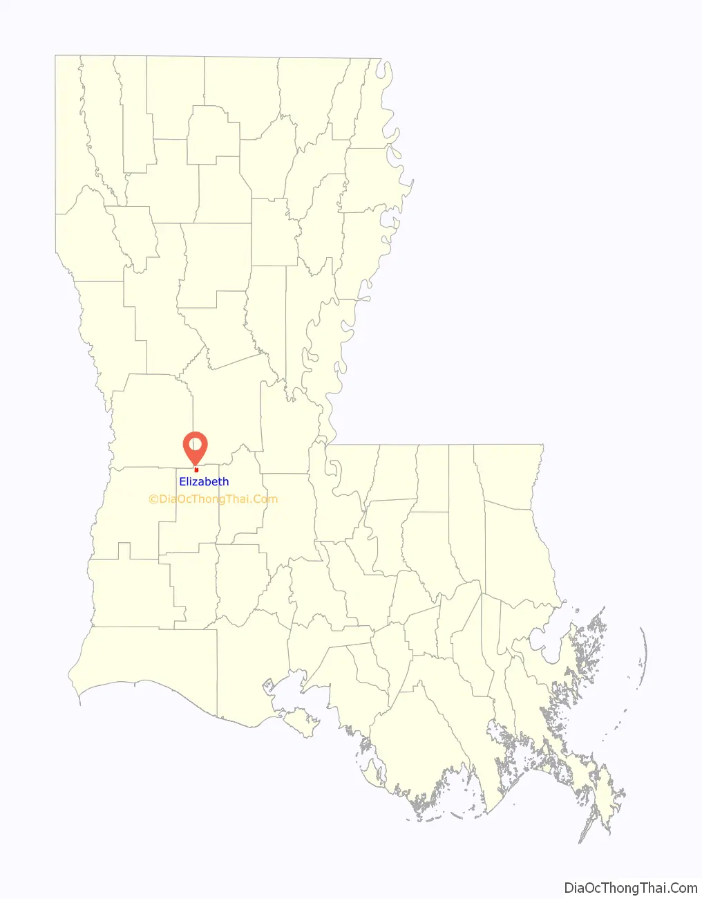
Elizabeth location map. Where is Elizabeth town?
History
As the village’s website notes, the Village of Elizabeth was once known as the “Town of Elizabeth”. It became a town legally on January 23, 1964, when Gov. Jimmie H. Davis signed a proclamation making Elizabeth the fifth incorporated town in Allen Parish.
“The name Elizabeth was chosen as a tribute to the daughter of Sam Parks, one of the men who established the Calcasieu Paper Mill. Elizabeth was carefully planned and held the component of a town built to feed the lumber mill and made every effort to making them superior. The Town hospital for the mill, now holds Elizabeth’s Village Hall.”
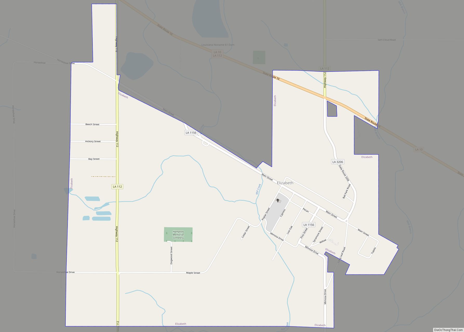
Elizabeth Road Map
Elizabeth city Satellite Map
Geography
According to the United States Census Bureau in 2010, the town (not yet a village) has a total area of 1.7 square miles (4.3 km), of which 0.0077 square miles (0.02 km), or 0.37%, is water.
See also
Map of Louisiana State and its subdivision:- Acadia
- Allen
- Ascension
- Assumption
- Avoyelles
- Beauregard
- Bienville
- Bossier
- Caddo
- Calcasieu
- Caldwell
- Cameron
- Catahoula
- Claiborne
- Concordia
- De Soto
- East Baton Rouge
- East Carroll
- East Feliciana
- Evangeline
- Franklin
- Grant
- Iberia
- Iberville
- Jackson
- Jefferson
- Jefferson Davis
- La Salle
- Lafayette
- Lafourche
- Lincoln
- Livingston
- Madison
- Morehouse
- Natchitoches
- Orleans
- Ouachita
- Plaquemines
- Pointe Coupee
- Rapides
- Red River
- Richland
- Sabine
- Saint Bernard
- Saint Charles
- Saint Helena
- Saint James
- Saint John the Baptist
- Saint Landry
- Saint Martin
- Saint Mary
- Saint Tammany
- Tangipahoa
- Tensas
- Terrebonne
- Union
- Vermilion
- Vernon
- Washington
- Webster
- West Baton Rouge
- West Carroll
- West Feliciana
- Winn
- Alabama
- Alaska
- Arizona
- Arkansas
- California
- Colorado
- Connecticut
- Delaware
- District of Columbia
- Florida
- Georgia
- Hawaii
- Idaho
- Illinois
- Indiana
- Iowa
- Kansas
- Kentucky
- Louisiana
- Maine
- Maryland
- Massachusetts
- Michigan
- Minnesota
- Mississippi
- Missouri
- Montana
- Nebraska
- Nevada
- New Hampshire
- New Jersey
- New Mexico
- New York
- North Carolina
- North Dakota
- Ohio
- Oklahoma
- Oregon
- Pennsylvania
- Rhode Island
- South Carolina
- South Dakota
- Tennessee
- Texas
- Utah
- Vermont
- Virginia
- Washington
- West Virginia
- Wisconsin
- Wyoming

