Eros is a town in Jackson Parish, Louisiana, United States. The population was 155 at the 2010 census. It is part of the Ruston Micropolitan Statistical Area.
| Name: | Eros town |
|---|---|
| LSAD Code: | 43 |
| LSAD Description: | town (suffix) |
| State: | Louisiana |
| County: | Jackson Parish |
| Elevation: | 207 ft (63 m) |
| Total Area: | 1.00 sq mi (2.58 km²) |
| Land Area: | 1.00 sq mi (2.58 km²) |
| Water Area: | 0.00 sq mi (0.00 km²) |
| Total Population: | 130 |
| Population Density: | 130.52/sq mi (50.40/km²) |
| Area code: | 318 |
| FIPS code: | 2224215 |
Online Interactive Map
Click on ![]() to view map in "full screen" mode.
to view map in "full screen" mode.
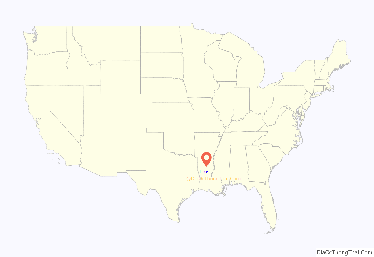
Eros location map. Where is Eros town?
History
The Tremont Lumber company founded Eros, in the early 20th century. Mrs. Mary Collins, née Nash (wife of Samuel Collins) suggested that the sawmill boomtown be named after the 433 Eros Asteroid (discovered in 1898). Eros served as a center point for a number of small surrounding communities, such as Hog Hair, Jumping Vernon, Indian Village, Salem Guyton, Flat Creek, Head Settlement, Vernon, Fuller Town, and Bug Tussle. Most children in these communities were sent to study at the Eros school, and citizens would normally receive their mail through rural mail coming from Eros. Box suppers would be held for various causes, making Eros a social center.
Naturally by 1920, the town became the largest in the Jackson Parish, with “a thousand residents, having a post office, three hotels, a newspaper, a company commissary, three doctors, a drug store, three churches, a jail, a bank, its own telephone exchange and Jackson Parish’s first high school with six hundred pupils” (Busbice, 6). A cyclone though devastated the town in 1920, destroying the sawmill. The sawmill was rebuilt, but yet again in 1926 a fire burned it to the ground. After that, the mill company felt that most of the timber had been harvested anyway, and moved their center of operation to Olla, Louisiana. Only a few hundred citizens stayed to maintain the town.
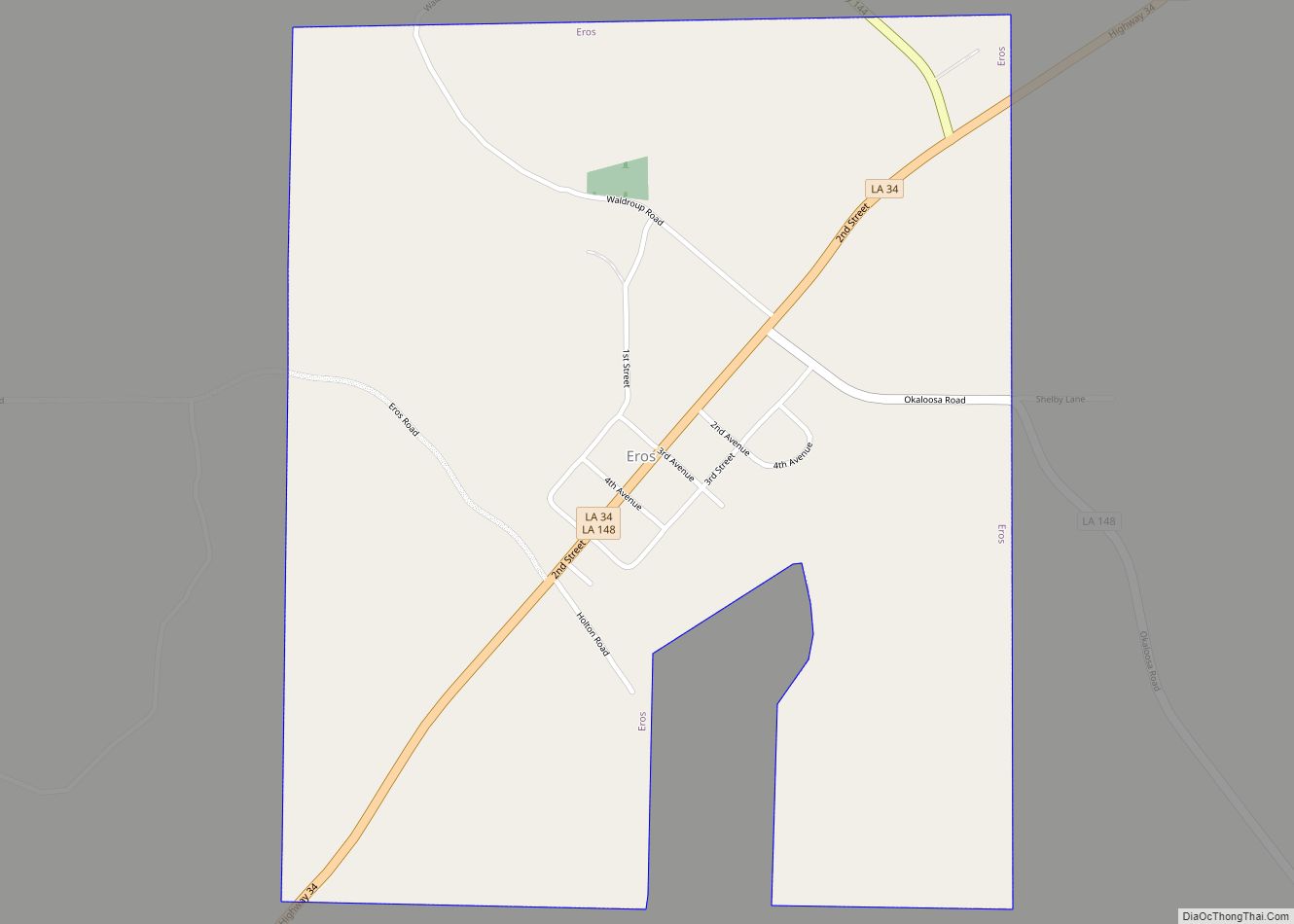
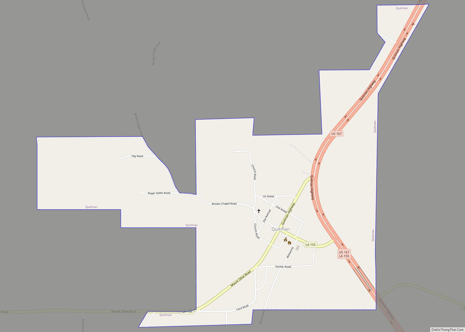
Eros Road Map
Eros city Satellite Map
Geography
Eros is located at 32°23′33″N 92°25′22″W / 32.39250°N 92.42278°W / 32.39250; -92.42278 (32.392502, -92.422737).
According to the United States Census Bureau, the town has a total area of 1.0 square mile (2.6 km), all land.
See also
Map of Louisiana State and its subdivision:- Acadia
- Allen
- Ascension
- Assumption
- Avoyelles
- Beauregard
- Bienville
- Bossier
- Caddo
- Calcasieu
- Caldwell
- Cameron
- Catahoula
- Claiborne
- Concordia
- De Soto
- East Baton Rouge
- East Carroll
- East Feliciana
- Evangeline
- Franklin
- Grant
- Iberia
- Iberville
- Jackson
- Jefferson
- Jefferson Davis
- La Salle
- Lafayette
- Lafourche
- Lincoln
- Livingston
- Madison
- Morehouse
- Natchitoches
- Orleans
- Ouachita
- Plaquemines
- Pointe Coupee
- Rapides
- Red River
- Richland
- Sabine
- Saint Bernard
- Saint Charles
- Saint Helena
- Saint James
- Saint John the Baptist
- Saint Landry
- Saint Martin
- Saint Mary
- Saint Tammany
- Tangipahoa
- Tensas
- Terrebonne
- Union
- Vermilion
- Vernon
- Washington
- Webster
- West Baton Rouge
- West Carroll
- West Feliciana
- Winn
- Alabama
- Alaska
- Arizona
- Arkansas
- California
- Colorado
- Connecticut
- Delaware
- District of Columbia
- Florida
- Georgia
- Hawaii
- Idaho
- Illinois
- Indiana
- Iowa
- Kansas
- Kentucky
- Louisiana
- Maine
- Maryland
- Massachusetts
- Michigan
- Minnesota
- Mississippi
- Missouri
- Montana
- Nebraska
- Nevada
- New Hampshire
- New Jersey
- New Mexico
- New York
- North Carolina
- North Dakota
- Ohio
- Oklahoma
- Oregon
- Pennsylvania
- Rhode Island
- South Carolina
- South Dakota
- Tennessee
- Texas
- Utah
- Vermont
- Virginia
- Washington
- West Virginia
- Wisconsin
- Wyoming
