Fordoche (pronounced four-DOASH) is a town in Pointe Coupee Parish, Louisiana, United States. The population was 928 at the 2010 census. It is part of the Baton Rouge Metropolitan Statistical Area.
| Name: | Fordoche town |
|---|---|
| LSAD Code: | 43 |
| LSAD Description: | town (suffix) |
| State: | Louisiana |
| County: | Pointe Coupee Parish |
| Incorporated: | 1961 |
| Elevation: | 30 ft (9 m) |
| Total Area: | 2.43 sq mi (6.30 km²) |
| Land Area: | 2.43 sq mi (6.30 km²) |
| Water Area: | 0.00 sq mi (0.00 km²) |
| Total Population: | 910 |
| Population Density: | 374.02/sq mi (144.43/km²) |
| ZIP code: | 70732 |
| Area code: | 225 |
| FIPS code: | 2226280 |
| GNISfeature ID: | 543211 |
| Website: | www.fordoche.org |
Online Interactive Map
Click on ![]() to view map in "full screen" mode.
to view map in "full screen" mode.
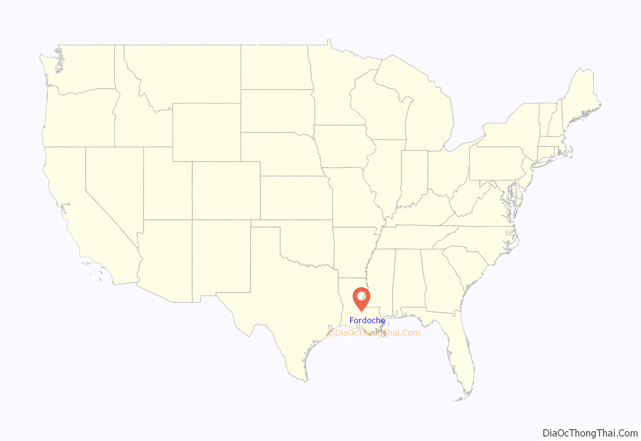
Fordoche location map. Where is Fordoche town?
History
In 1854, the first post office was established at Fordoche, with Thomas Farrar designated as its first postmaster. There are two conflicting stories about how the town’s name was derived. One story is that it received its name from a Caddo Indian word meaning “wild animal lair” (i.e., the bed of a wild beast) and the other suggests that it is named after a Louisiana French term for underbrush found in bayou bottom.
At least two American Civil War battles were fought in and around Fordoche. The Battle of Fordoche Bridge was fought in September 1863. Union troops were sent to prevent the Confederacy from operating in the upper Atchafalaya but the Confederates were successful in driving back the Union forces.
In May 1864, the Confederates were again victorious over the Union troops at the “Skirmish on Bayou Fordoche Road”.
The area saw an influx of Italian immigrants after 1890.
Fordoche is the youngest incorporated community in Pointe Coupee Parish. It was incorporated as a village in 1961 and became a town in 1994.
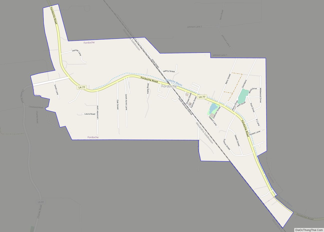
Fordoche Road Map
Fordoche city Satellite Map
Geography
Fordoche is located at 30°35′29″N 91°36′31″W / 30.59139°N 91.60861°W / 30.59139; -91.60861 (30.591445, -91.608546).
According to the United States Census Bureau, the town has a total area of 2.4 square miles (6.2 km), all land.
Major highways
- Louisiana Highway 77
- Louisiana Highway 81
See also
Map of Louisiana State and its subdivision:- Acadia
- Allen
- Ascension
- Assumption
- Avoyelles
- Beauregard
- Bienville
- Bossier
- Caddo
- Calcasieu
- Caldwell
- Cameron
- Catahoula
- Claiborne
- Concordia
- De Soto
- East Baton Rouge
- East Carroll
- East Feliciana
- Evangeline
- Franklin
- Grant
- Iberia
- Iberville
- Jackson
- Jefferson
- Jefferson Davis
- La Salle
- Lafayette
- Lafourche
- Lincoln
- Livingston
- Madison
- Morehouse
- Natchitoches
- Orleans
- Ouachita
- Plaquemines
- Pointe Coupee
- Rapides
- Red River
- Richland
- Sabine
- Saint Bernard
- Saint Charles
- Saint Helena
- Saint James
- Saint John the Baptist
- Saint Landry
- Saint Martin
- Saint Mary
- Saint Tammany
- Tangipahoa
- Tensas
- Terrebonne
- Union
- Vermilion
- Vernon
- Washington
- Webster
- West Baton Rouge
- West Carroll
- West Feliciana
- Winn
- Alabama
- Alaska
- Arizona
- Arkansas
- California
- Colorado
- Connecticut
- Delaware
- District of Columbia
- Florida
- Georgia
- Hawaii
- Idaho
- Illinois
- Indiana
- Iowa
- Kansas
- Kentucky
- Louisiana
- Maine
- Maryland
- Massachusetts
- Michigan
- Minnesota
- Mississippi
- Missouri
- Montana
- Nebraska
- Nevada
- New Hampshire
- New Jersey
- New Mexico
- New York
- North Carolina
- North Dakota
- Ohio
- Oklahoma
- Oregon
- Pennsylvania
- Rhode Island
- South Carolina
- South Dakota
- Tennessee
- Texas
- Utah
- Vermont
- Virginia
- Washington
- West Virginia
- Wisconsin
- Wyoming
