Gibsland is a town in Bienville Parish in northern Louisiana, United States. As of the 2020 census, its population was 773. The town is best known for its connecting railroads, as the birthplace of the defunct historically black Coleman College, and for the nearby shootings in 1934 of the bandits Bonnie and Clyde.
Gibsland native John McConathy was a champion basketball player at Northwestern State University in Natchitoches, Louisiana, who later was the superintendent for the Bossier Parish School Board, in which capacity he was the guiding force behind the establishment of the $57 million Bossier Parish Community College.
| Name: | Gibsland town |
|---|---|
| LSAD Code: | 43 |
| LSAD Description: | town (suffix) |
| State: | Louisiana |
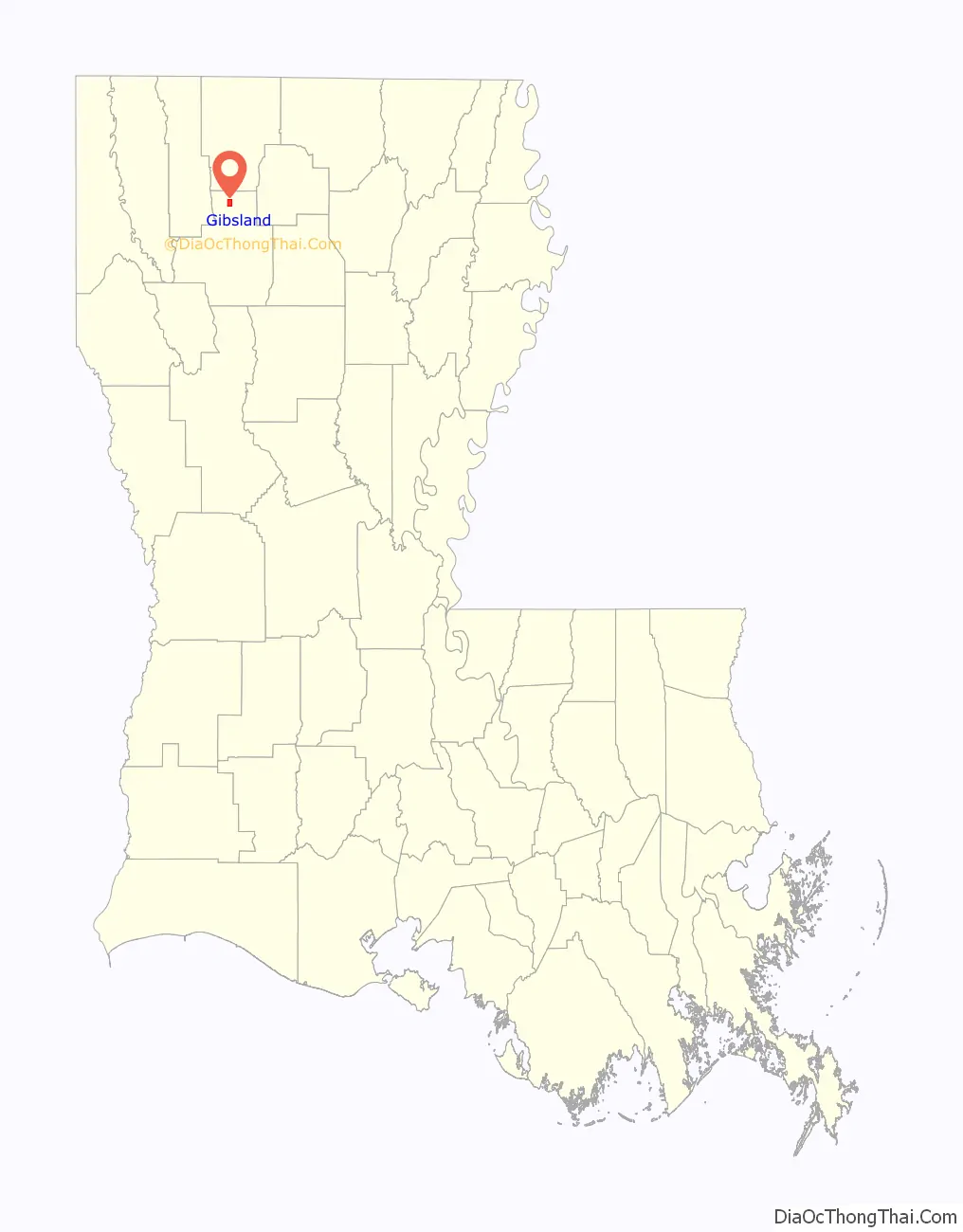
| County: | Bienville Parish |
| Elevation: | 272 ft (83 m) |
| Total Area: | 2.65 sq mi (6.87 km²) |
| Land Area: | 2.63 sq mi (6.82 km²) |
| Water Area: | 0.02 sq mi (0.06 km²) |
| Total Population: | 773 |
| Population Density: | 293.58/sq mi (113.36/km²) |
| Area code: | 318 |
| FIPS code: | 2228835 |
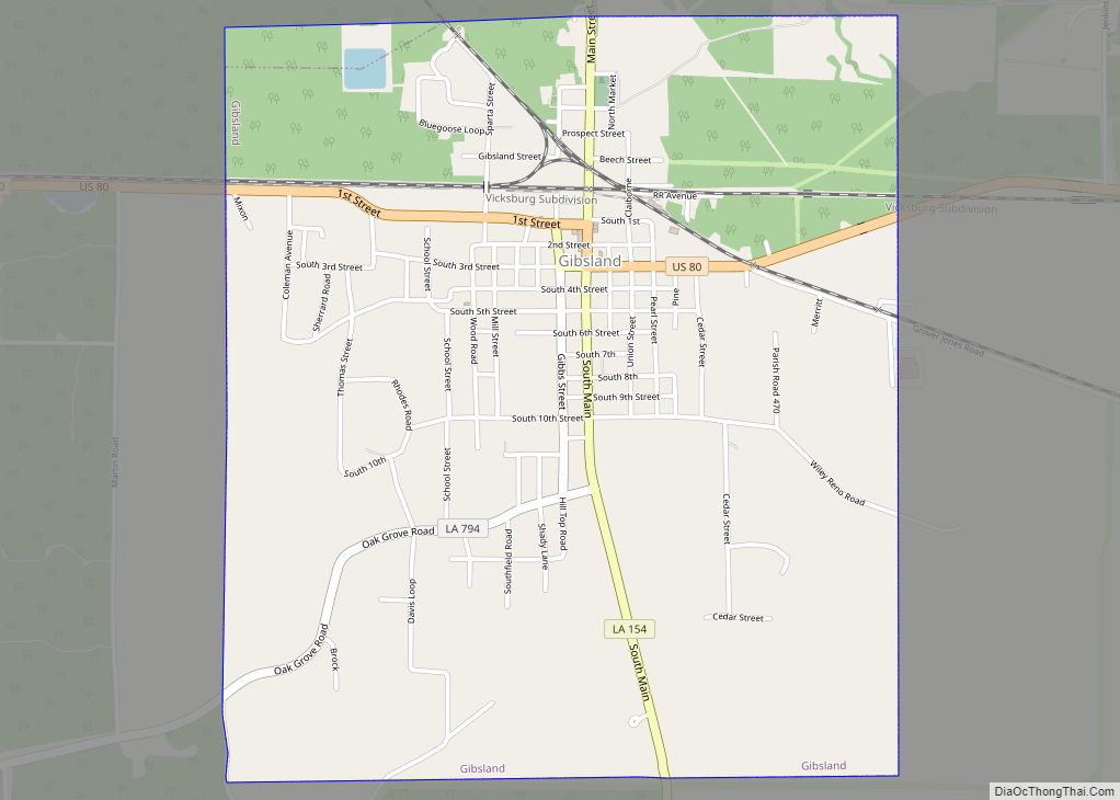
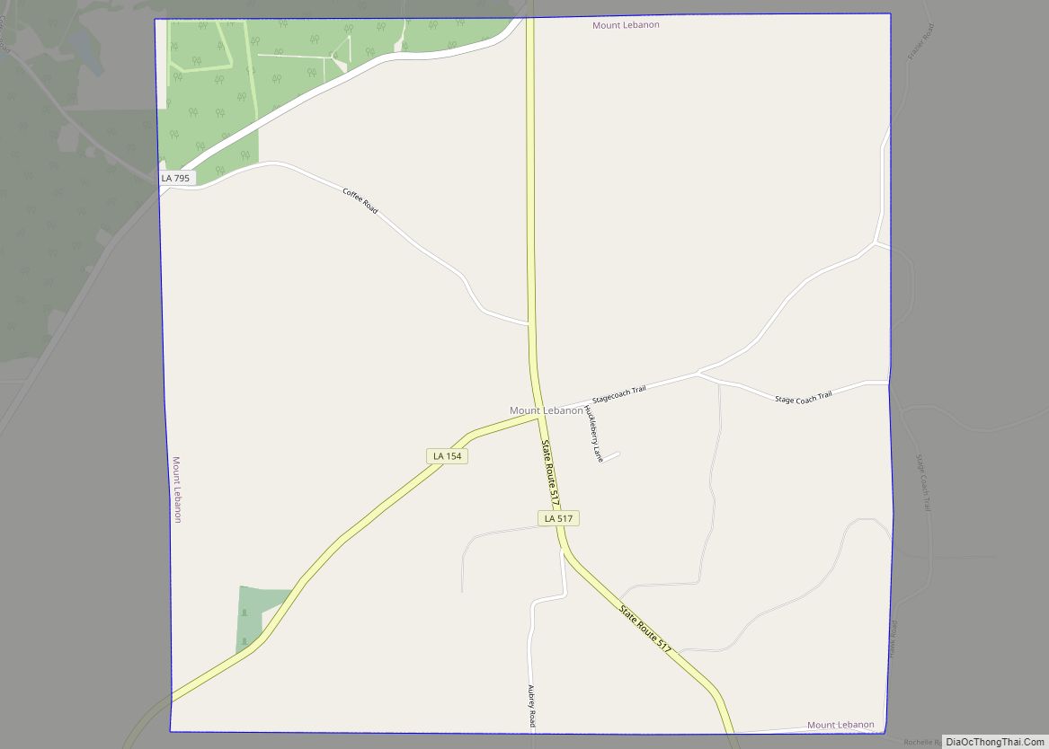
Online Interactive Map
Click on ![]() to view map in "full screen" mode.
to view map in "full screen" mode.
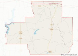
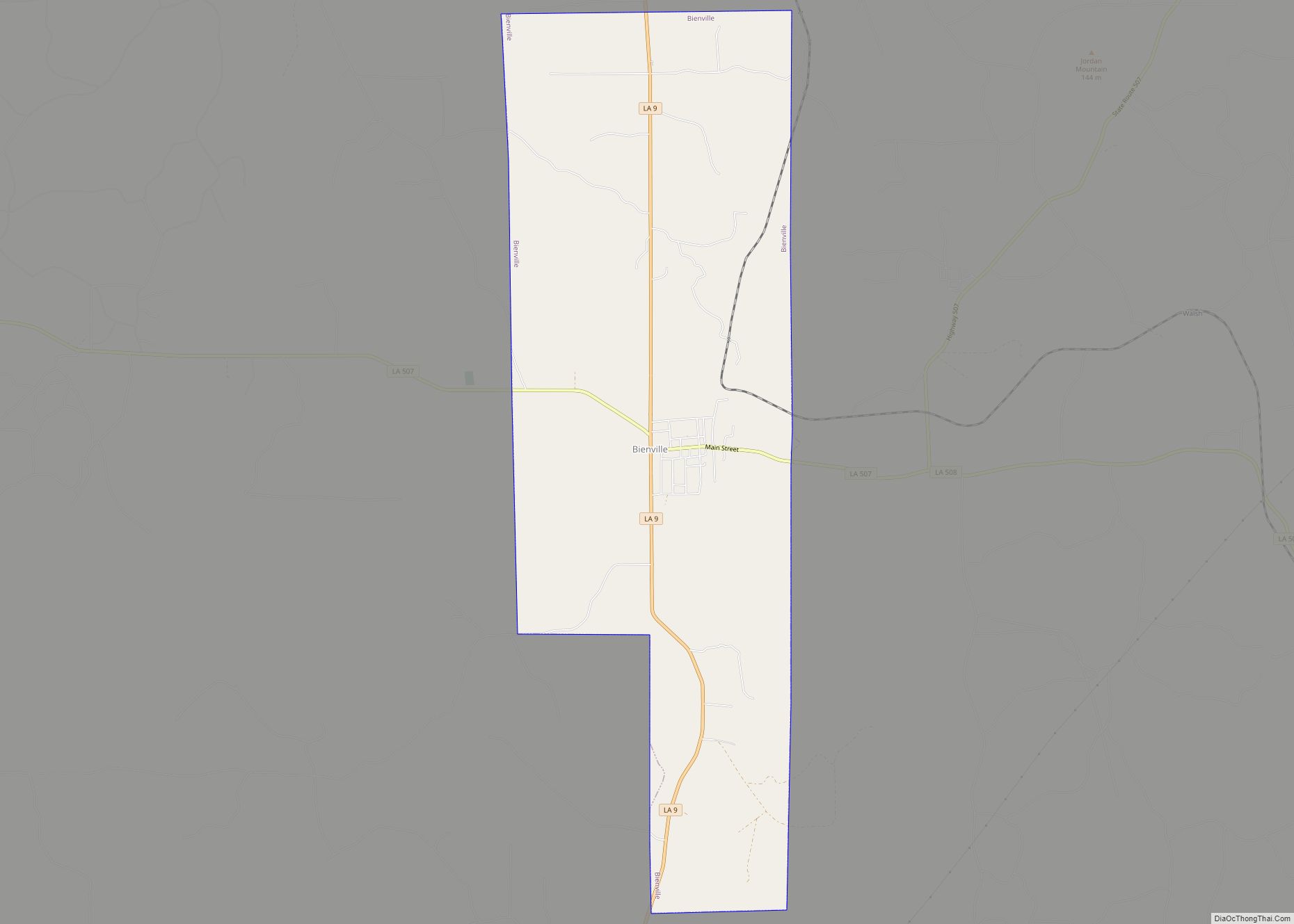
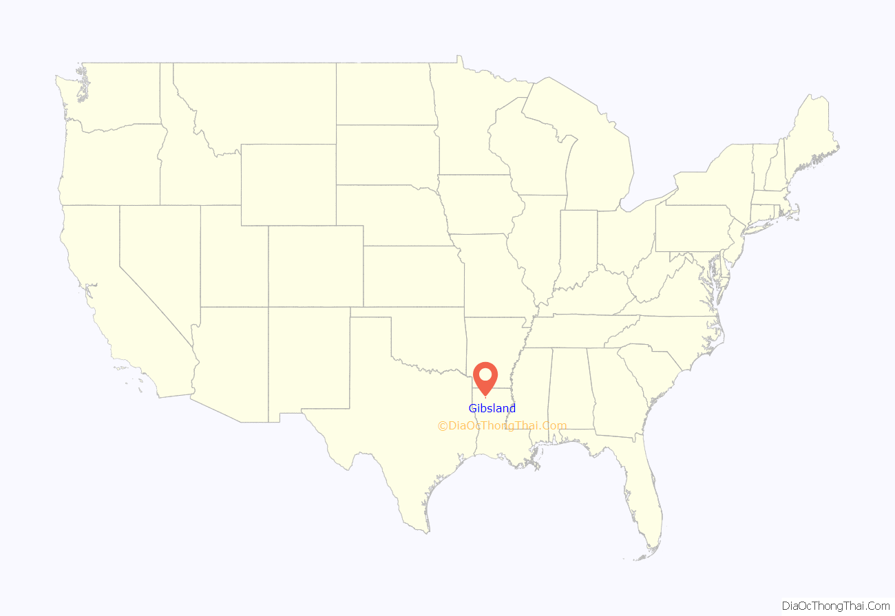
Gibsland location map. Where is Gibsland town?
History
Coleman College
Coleman College (also known as Coleman Academy) was a segregated African American secondary school founded in Gibsland in 1887 by O. L. Coleman; it was the first secondary school for Black students in northern Louisiana. It was affiliated with the Baptist Church, and supported by the American Baptist Home Mission Society. The institution produced primarily teachers and ministers.
The school remained in the community until the Great Depression, in which it closed in 1937. It later re-opened in Shreveport in 1943, and remained there until the 1950s.
Railroad history
First incorporated in 1889, the Louisiana & North West Railroad Company operates 62 miles (100 km) of shortline between Gibsland and McNeil, Arkansas. The LNW interchanges on both ends of the line: with the Union Pacific (former St. Louis Southwestern) in McNeil; and with Kansas City Southern (former MidSouth, ICG) at Gibsland.
For many years the road was well-known among railfans for its unusual stable of F7 “covered wagons”—unusual motive power of choice for a backwoods southern shortline. In the early 1990s, the F units were sold off to various places, gradually replaced by Geeps from various locations. The LNW shops are located at Gibsland, a few hundred yards from one of the busiest interchange diamonds in all of the state. For decades, three different railroads interchanged in Gibsland. The switching activity could get so hectic the daily routine was known among railfans as the “Gibsland Shuffle.”
Death of Bonny and Clyde
On May 23, 1934, Bonnie and Clyde, an infamous bank robbing duo, were killed by law enforcement officers off Louisiana Highway 154, south of Gibsland toward Sailes.
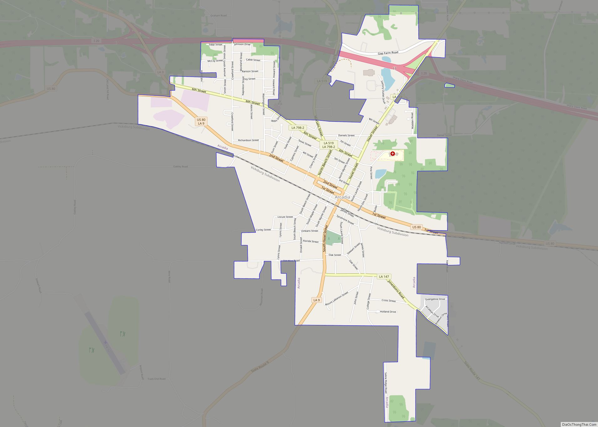
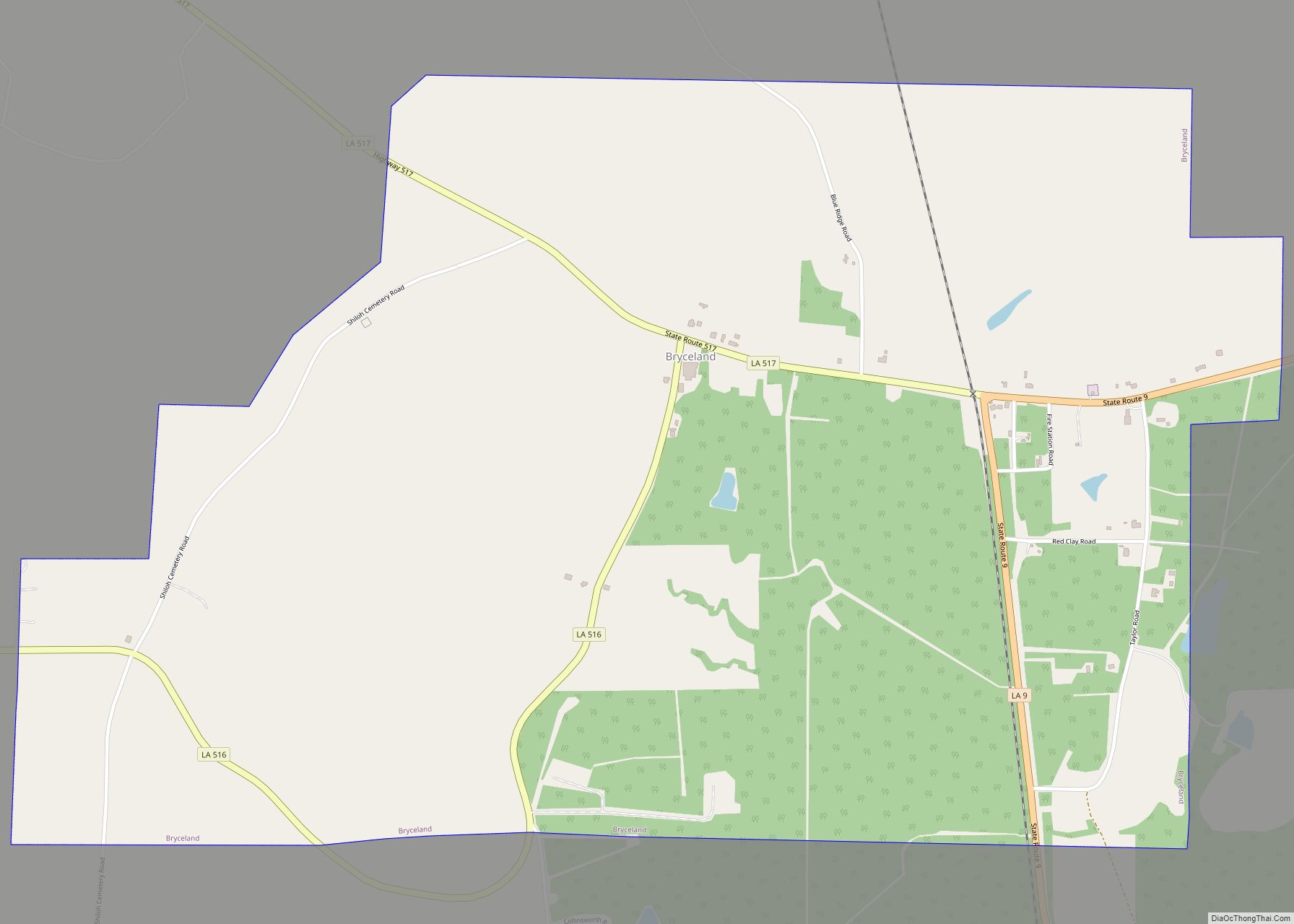
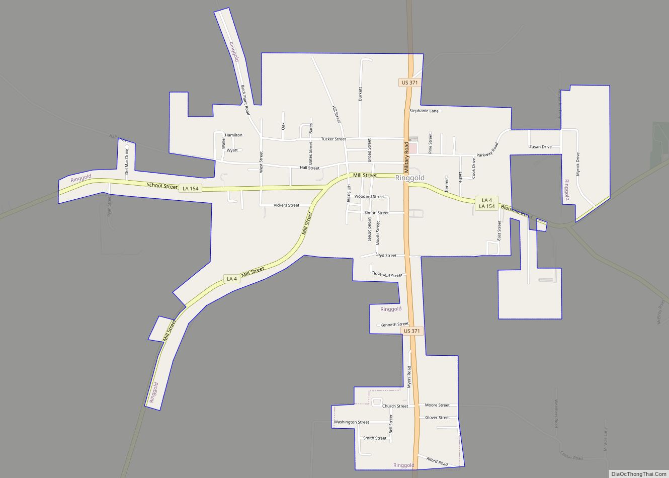
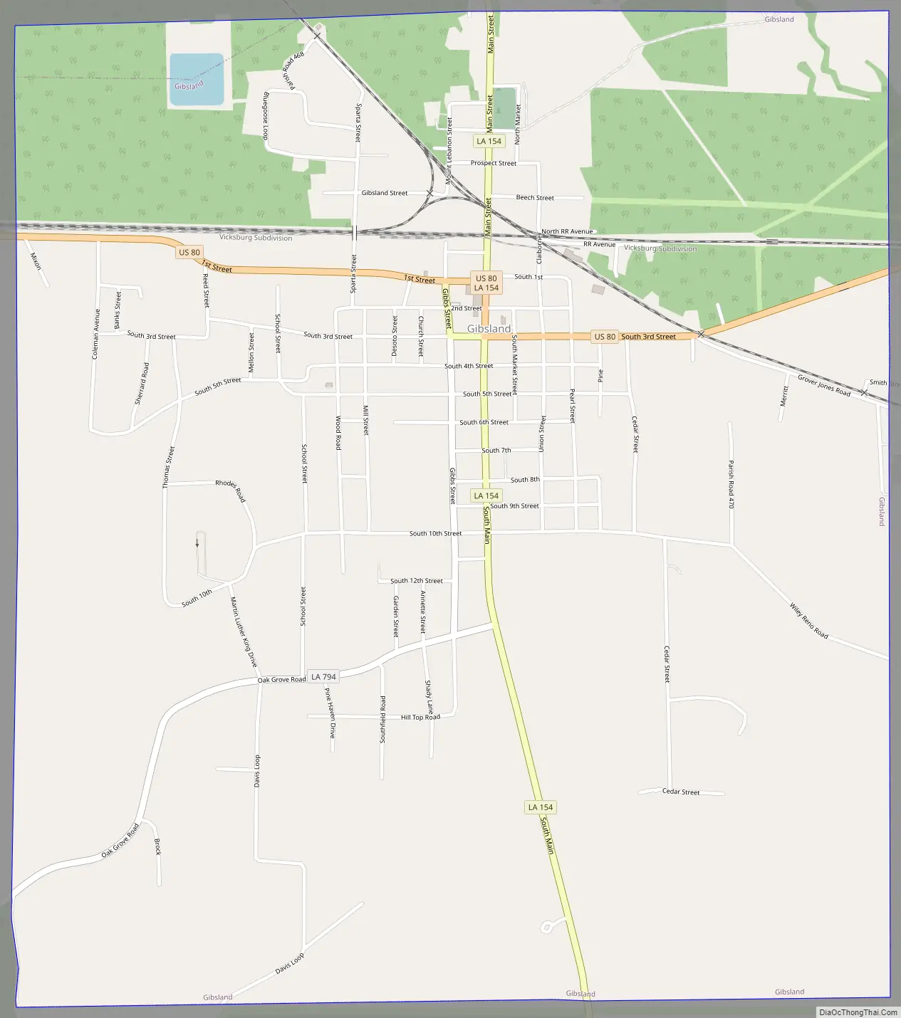
Gibsland Road Map
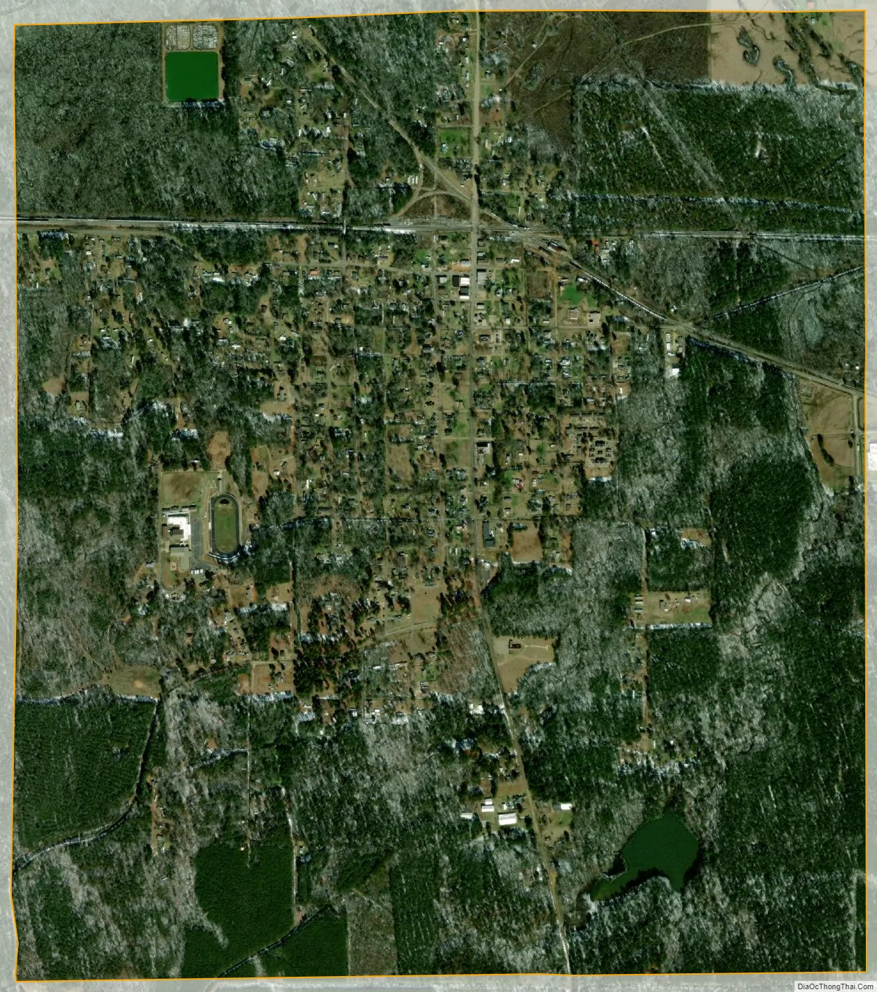
Gibsland city Satellite Map
Geography
Gibsland is located in northern Bienville Parish at 32°32′34″N 93°3′13″W / 32.54278°N 93.05361°W / 32.54278; -93.05361 (32.542675, -93.053511).
According to the United States Census Bureau, the town has a total area of 2.7 square miles (6.9 km), of which 0.023 square miles (0.06 km), or 0.81%, is water.
See also
Map of Louisiana State and its subdivision:- Acadia
- Allen
- Ascension
- Assumption
- Avoyelles
- Beauregard
- Bienville
- Bossier
- Caddo
- Calcasieu
- Caldwell
- Cameron
- Catahoula
- Claiborne
- Concordia
- De Soto
- East Baton Rouge
- East Carroll
- East Feliciana
- Evangeline
- Franklin
- Grant
- Iberia
- Iberville
- Jackson
- Jefferson
- Jefferson Davis
- La Salle
- Lafayette
- Lafourche
- Lincoln
- Livingston
- Madison
- Morehouse
- Natchitoches
- Orleans
- Ouachita
- Plaquemines
- Pointe Coupee
- Rapides
- Red River
- Richland
- Sabine
- Saint Bernard
- Saint Charles
- Saint Helena
- Saint James
- Saint John the Baptist
- Saint Landry
- Saint Martin
- Saint Mary
- Saint Tammany
- Tangipahoa
- Tensas
- Terrebonne
- Union
- Vermilion
- Vernon
- Washington
- Webster
- West Baton Rouge
- West Carroll
- West Feliciana
- Winn
- Alabama
- Alaska
- Arizona
- Arkansas
- California
- Colorado
- Connecticut
- Delaware
- District of Columbia
- Florida
- Georgia
- Hawaii
- Idaho
- Illinois
- Indiana
- Iowa
- Kansas
- Kentucky
- Louisiana
- Maine
- Maryland
- Massachusetts
- Michigan
- Minnesota
- Mississippi
- Missouri
- Montana
- Nebraska
- Nevada
- New Hampshire
- New Jersey
- New Mexico
- New York
- North Carolina
- North Dakota
- Ohio
- Oklahoma
- Oregon
- Pennsylvania
- Rhode Island
- South Carolina
- South Dakota
- Tennessee
- Texas
- Utah
- Vermont
- Virginia
- Washington
- West Virginia
- Wisconsin
- Wyoming