Gillis is an unincorporated community and census-designated place (CDP) in northern Calcasieu Parish, Louisiana, United States. As of the 2010 census it had a population of 657.
| Name: | Gillis CDP |
|---|---|
| LSAD Code: | 57 |
| LSAD Description: | CDP (suffix) |
| State: | Louisiana |
| County: | Calcasieu Parish |
| Elevation: | 26 ft (8 m) |
| Total Area: | 1.67 sq mi (4.32 km²) |
| Land Area: | 1.67 sq mi (4.32 km²) |
| Water Area: | 0.00 sq mi (0.00 km²) |
| Total Population: | 800 |
| Population Density: | 479.62/sq mi (185.23/km²) |
| FIPS code: | 2229045 |
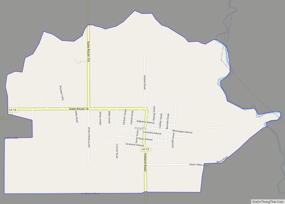
Online Interactive Map
Click on ![]() to view map in "full screen" mode.
to view map in "full screen" mode.
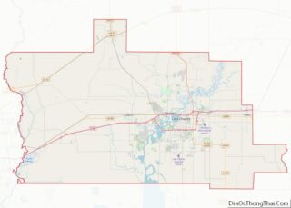
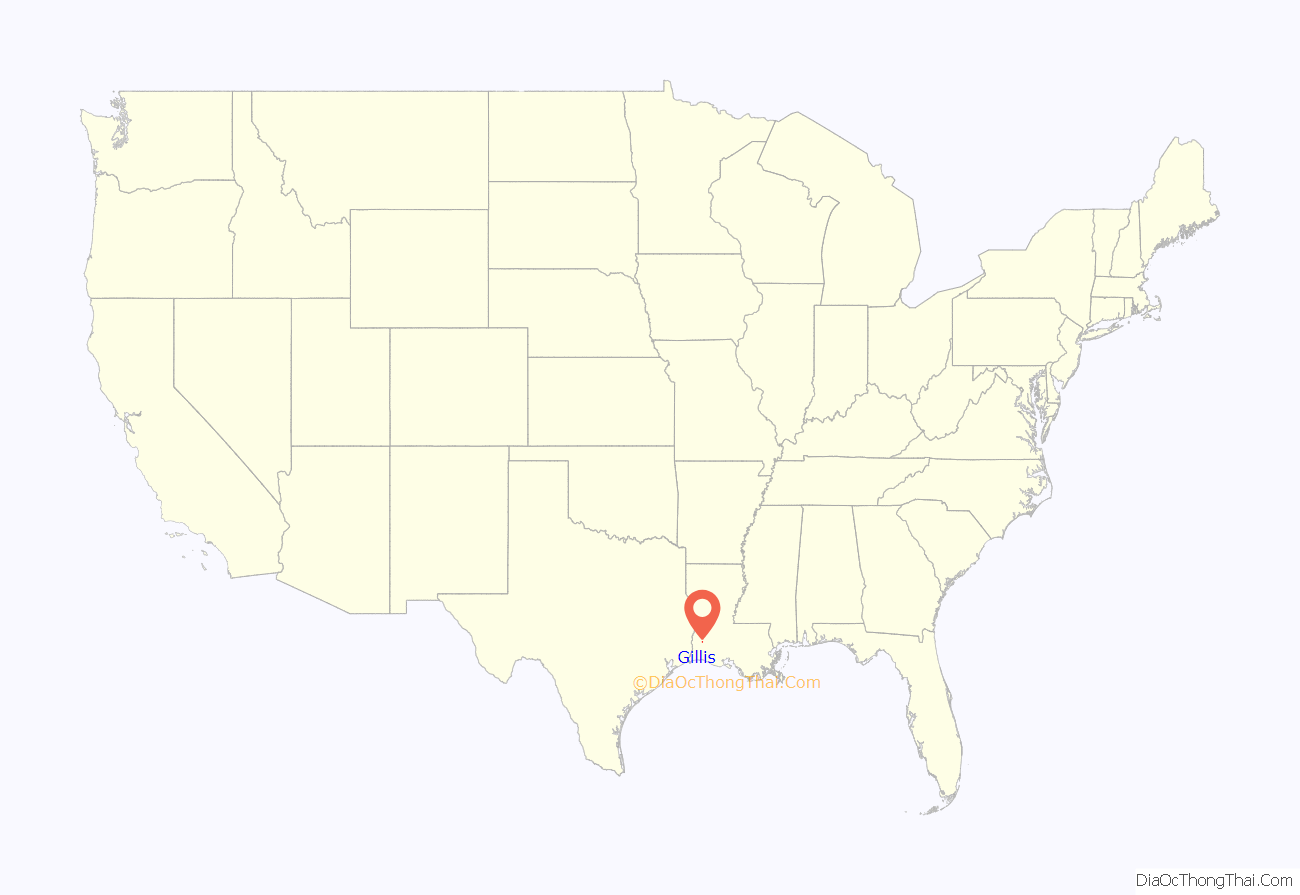
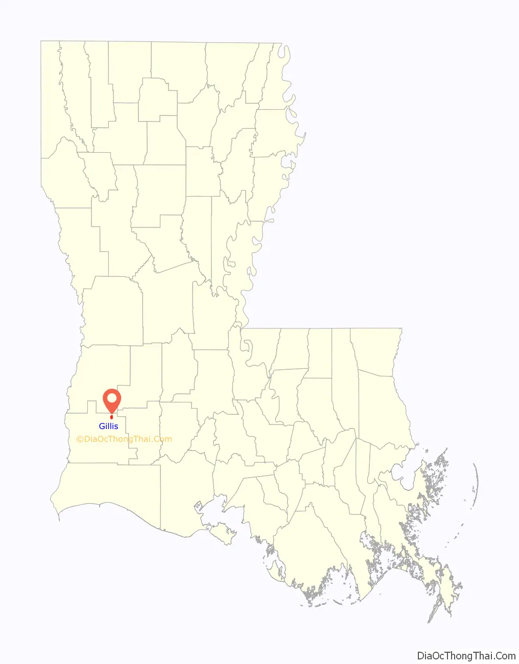
Gillis location map. Where is Gillis CDP?
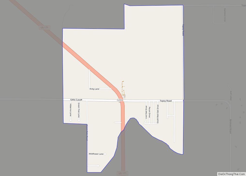
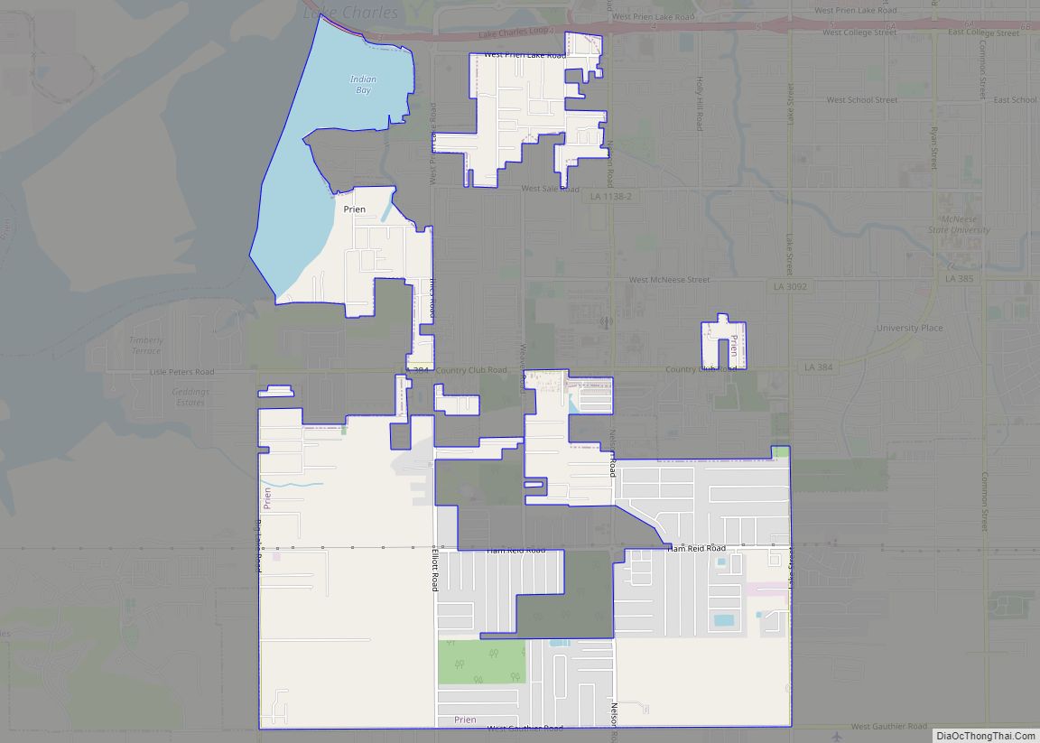
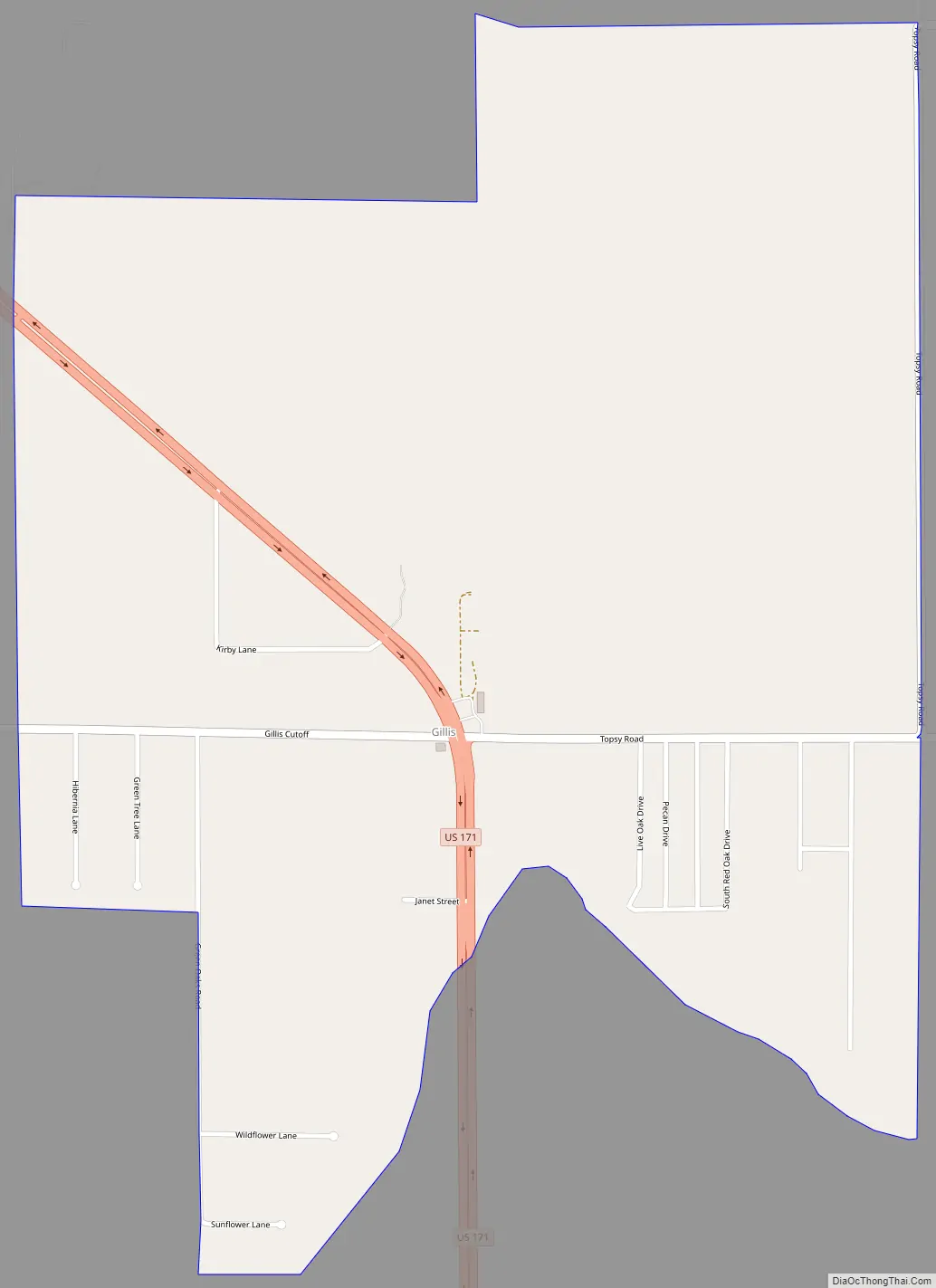
Gillis Road Map
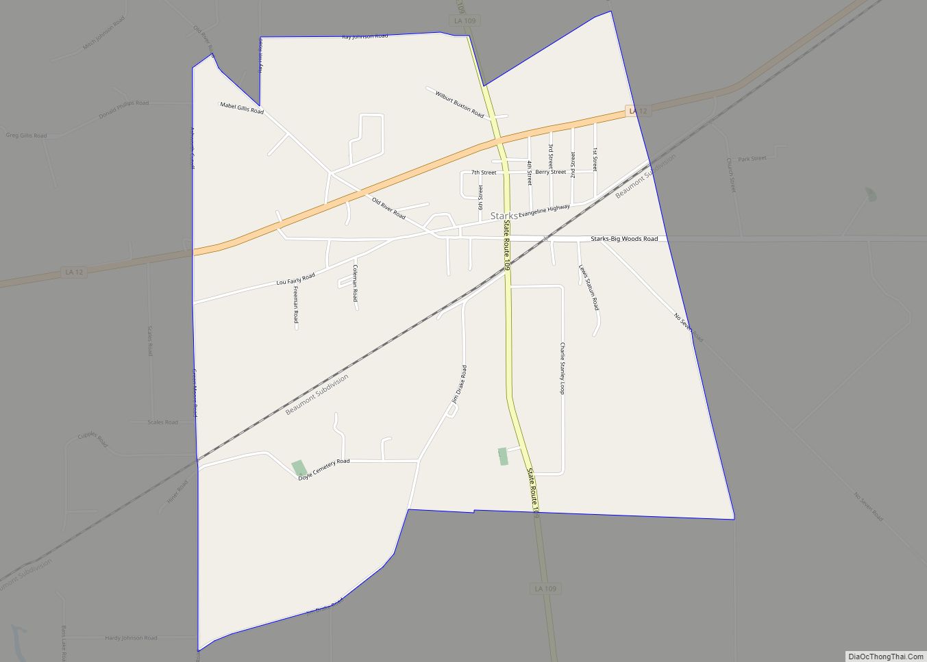
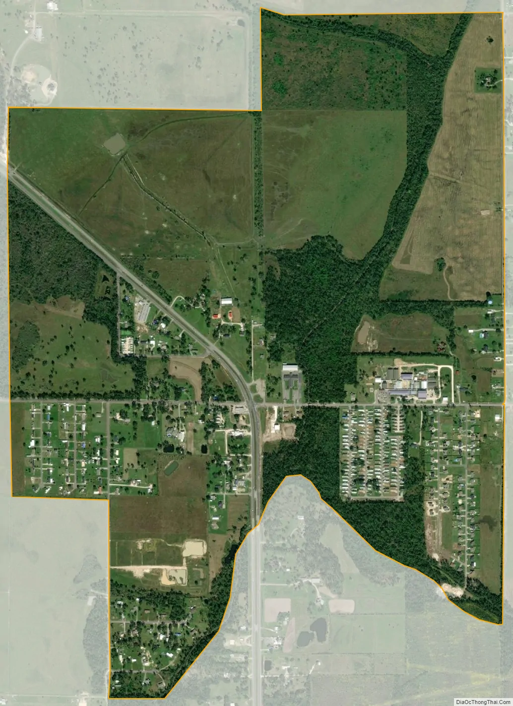
Gillis city Satellite Map
Geography
Gillis is located in northeastern Calcasieu Parish, 07 miles (11 km) north of Lake Charles and 36 miles (58 km) south of DeRidder. U.S. Route 171 is the main road through the community.
Gillis falls under the school district of Iowa, a town 20 miles (32 km) to the southeast, though most parents send their children to schools much closer to home. Students who live in the Gillis community may attend Gillis Elementary on Topsy Road and Moss Bluff Middle School and Sam Houston High School in Moss Bluff.
See also
Map of Louisiana State and its subdivision:- Acadia
- Allen
- Ascension
- Assumption
- Avoyelles
- Beauregard
- Bienville
- Bossier
- Caddo
- Calcasieu
- Caldwell
- Cameron
- Catahoula
- Claiborne
- Concordia
- De Soto
- East Baton Rouge
- East Carroll
- East Feliciana
- Evangeline
- Franklin
- Grant
- Iberia
- Iberville
- Jackson
- Jefferson
- Jefferson Davis
- La Salle
- Lafayette
- Lafourche
- Lincoln
- Livingston
- Madison
- Morehouse
- Natchitoches
- Orleans
- Ouachita
- Plaquemines
- Pointe Coupee
- Rapides
- Red River
- Richland
- Sabine
- Saint Bernard
- Saint Charles
- Saint Helena
- Saint James
- Saint John the Baptist
- Saint Landry
- Saint Martin
- Saint Mary
- Saint Tammany
- Tangipahoa
- Tensas
- Terrebonne
- Union
- Vermilion
- Vernon
- Washington
- Webster
- West Baton Rouge
- West Carroll
- West Feliciana
- Winn
- Alabama
- Alaska
- Arizona
- Arkansas
- California
- Colorado
- Connecticut
- Delaware
- District of Columbia
- Florida
- Georgia
- Hawaii
- Idaho
- Illinois
- Indiana
- Iowa
- Kansas
- Kentucky
- Louisiana
- Maine
- Maryland
- Massachusetts
- Michigan
- Minnesota
- Mississippi
- Missouri
- Montana
- Nebraska
- Nevada
- New Hampshire
- New Jersey
- New Mexico
- New York
- North Carolina
- North Dakota
- Ohio
- Oklahoma
- Oregon
- Pennsylvania
- Rhode Island
- South Carolina
- South Dakota
- Tennessee
- Texas
- Utah
- Vermont
- Virginia
- Washington
- West Virginia
- Wisconsin
- Wyoming