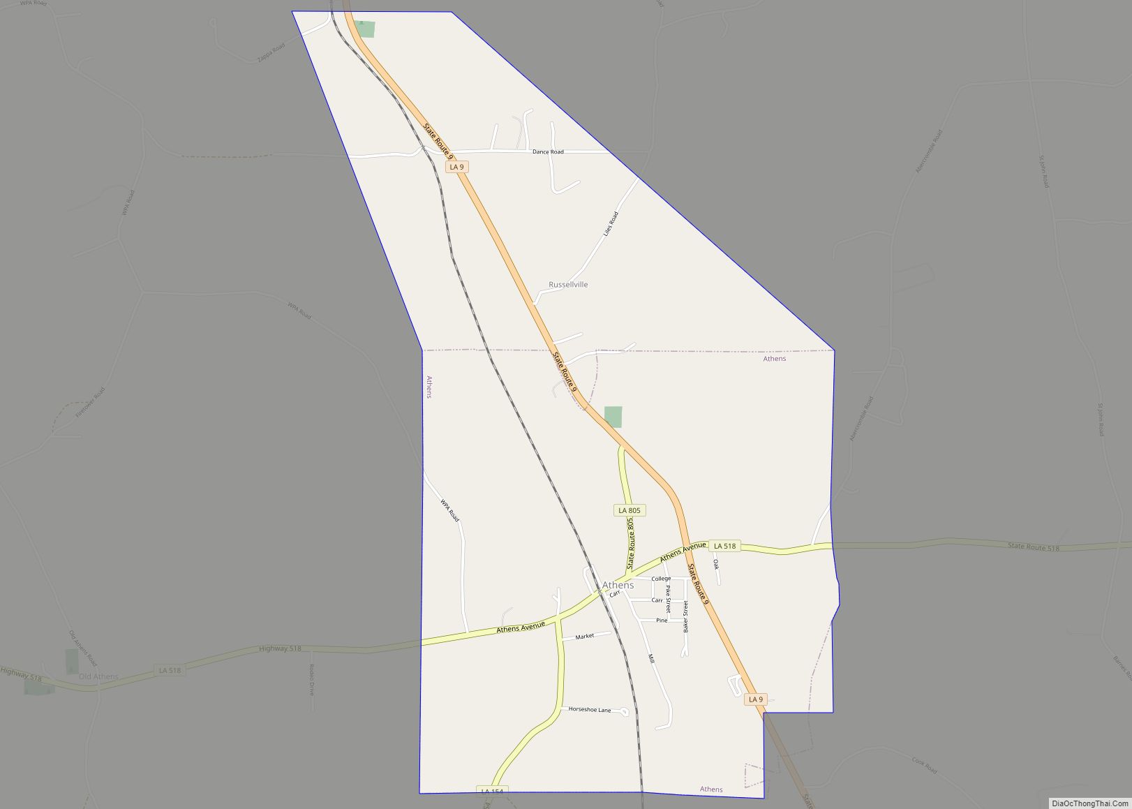
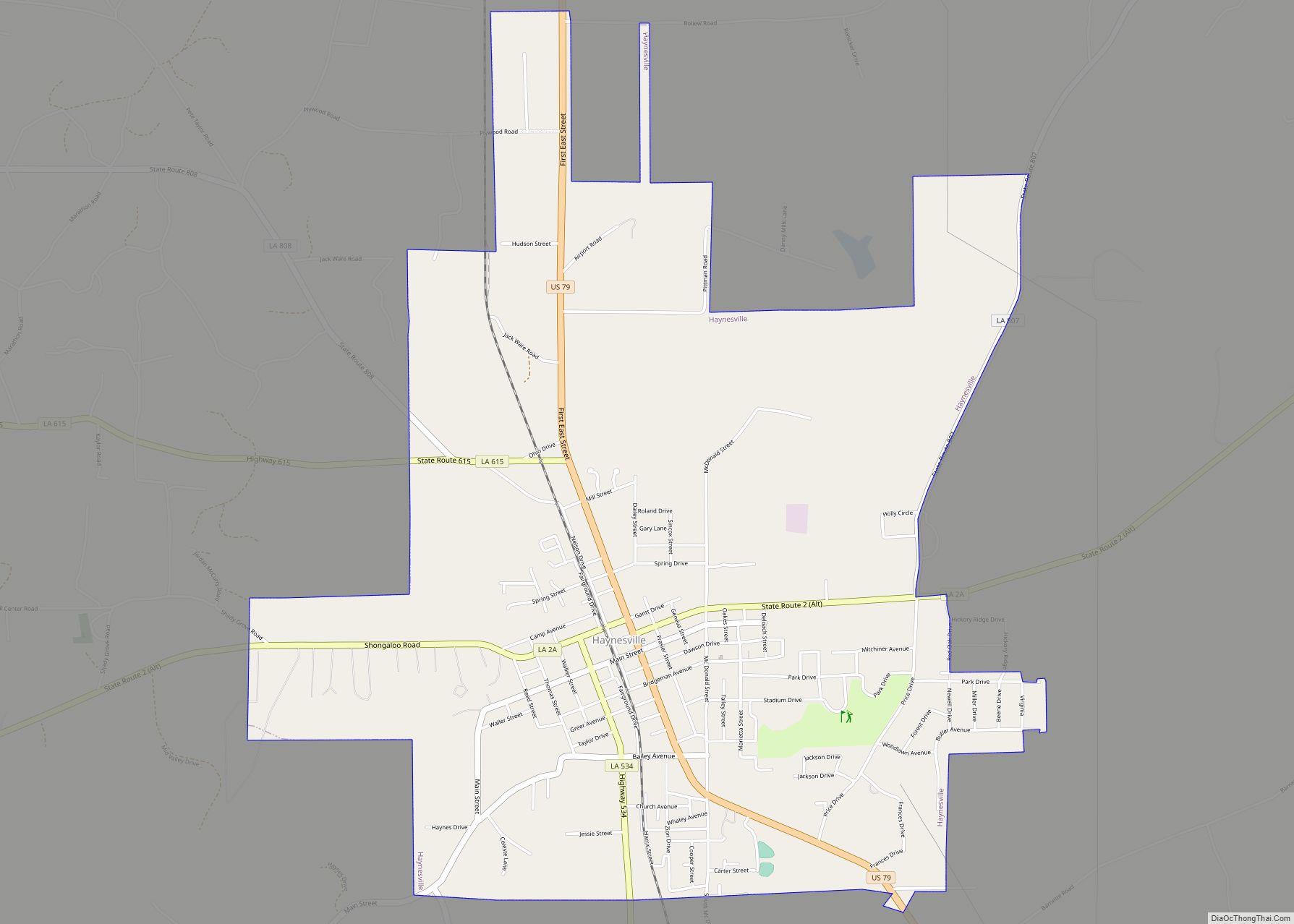
Haynesville is a town in northern Claiborne Parish, Louisiana, United States, located just south of the Arkansas border. The population was 2,039 in 2020.
Haynesville is known as the “Gateway to North Louisiana” and the “Butterfly Capital of Louisiana”. Loice Kendrick-Lacy of Haynesville published Gardening To Attract Butterflies: The Beauty And The Beast (2012). Kendrick-Lacy begins with memories of her childhood, when she was introduced to butterflies by her grandmother.
| Name: | Haynesville town |
|---|---|
| LSAD Code: | 43 |
| LSAD Description: | town (suffix) |
| State: | Louisiana |
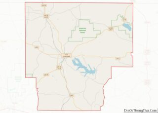
| County: | Claiborne Parish |
| Founded: | 1818 |
| Elevation: | 367 ft (112 m) |
| Total Area: | 4.84 sq mi (12.53 km²) |
| Land Area: | 4.83 sq mi (12.50 km²) |
| Water Area: | 0.01 sq mi (0.03 km²) |
| Total Population: | 2,039 |
| Population Density: | 422.33/sq mi (163.06/km²) |
| Area code: | 318 |
| FIPS code: | 2233525 |
| Website: | haynesvillela.org |
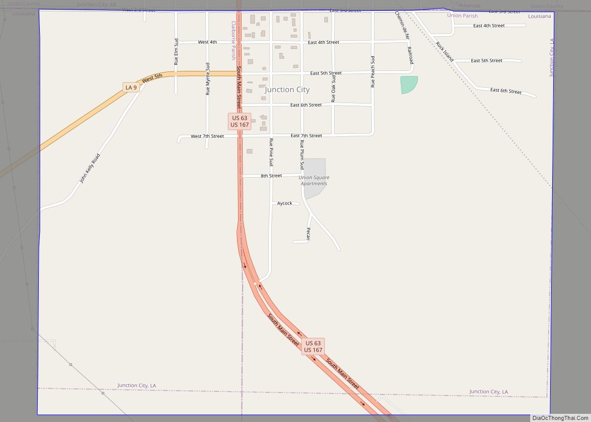
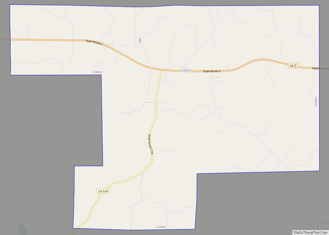
Online Interactive Map
Click on ![]() to view map in "full screen" mode.
to view map in "full screen" mode.
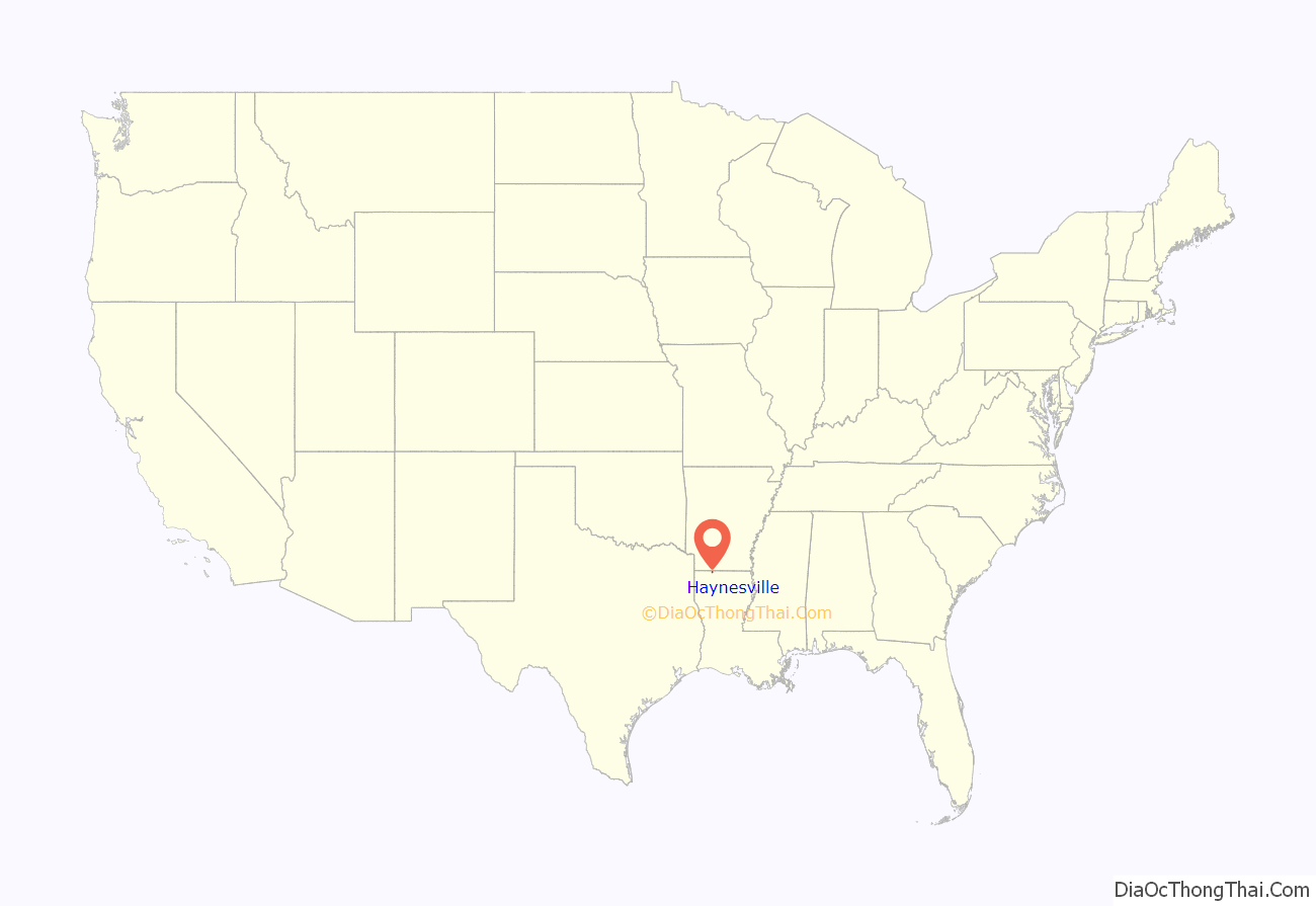
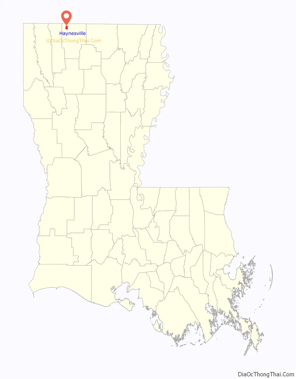
Haynesville location map. Where is Haynesville town?
History
The town of Haynesville is the namesake of the Haynesville Shale, an upper Jurassic formation that is difficult to define on a technical basis but nevertheless covers a broad region of western Louisiana and east Texas and contains a large natural gas resource. On March 24, 2008, Chesapeake Energy announced a new natural gas discovery in the Haynesville Shale. This announcement began a new chapter in the development of the Hayneville Shale and hastened the activities of several other companies in the play.
The town’s churches include Baptist, United Methodist, Presbyterian, Missionary Baptist, Pentecostal, and Church of Christ. This part of the state was settled by Protestants from other parts of the South, more than by ethnic French, Louisiana Creole, Italian and Irish Catholics more typically found in the New Orleans area.
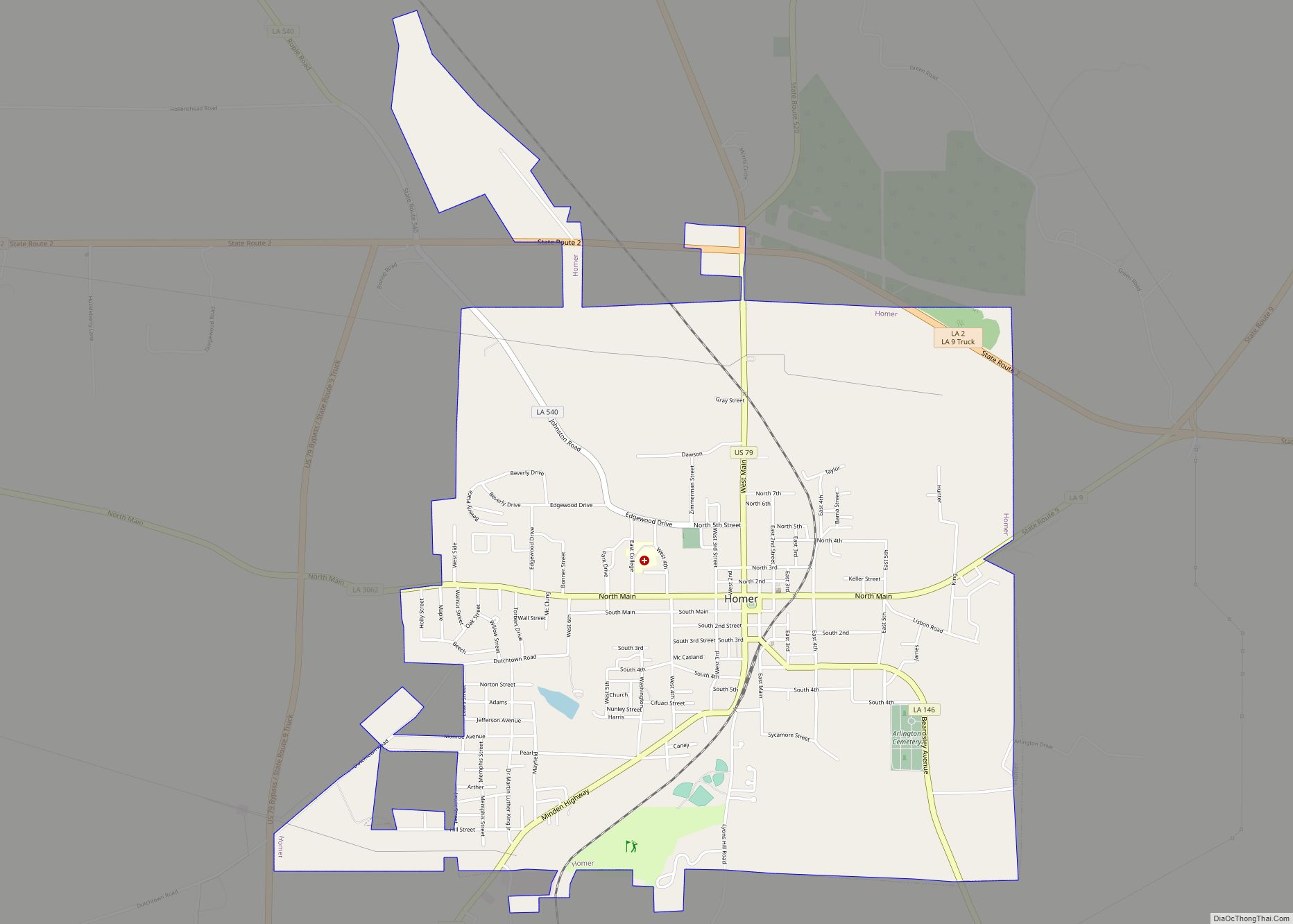
Material on the history of Haynesville can be found at the Herbert S. Ford Memorial Museum located across from the Claiborne Parish Courthouse in Homer.
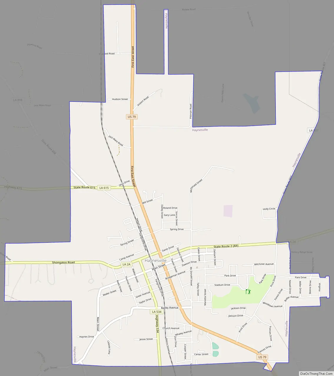
Haynesville Road Map
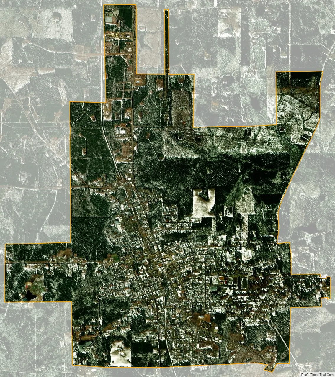
Haynesville city Satellite Map
Geography
Haynesville is located at 32°57′40″N 93°8′17″W / 32.96111°N 93.13806°W / 32.96111; -93.13806 (32.961132, −93.138091).
According to the United States Census Bureau, the town has a total area of 4.8 square miles (12.5 km), of which 4.8 square miles (12.5 km) is land and 0.22% is water.
The most common soil is Eastwood series, which has 3 to 10 inches (76 to 254 mm) of brown very fine sandy loam over 20 inches (510 mm) of red clay. It supports a native forest vegetation of loblolly pine, shortleaf pine, southern red oak, American sweet gum and hickory.
See also
Map of Louisiana State and its subdivision:- Acadia
- Allen
- Ascension
- Assumption
- Avoyelles
- Beauregard
- Bienville
- Bossier
- Caddo
- Calcasieu
- Caldwell
- Cameron
- Catahoula
- Claiborne
- Concordia
- De Soto
- East Baton Rouge
- East Carroll
- East Feliciana
- Evangeline
- Franklin
- Grant
- Iberia
- Iberville
- Jackson
- Jefferson
- Jefferson Davis
- La Salle
- Lafayette
- Lafourche
- Lincoln
- Livingston
- Madison
- Morehouse
- Natchitoches
- Orleans
- Ouachita
- Plaquemines
- Pointe Coupee
- Rapides
- Red River
- Richland
- Sabine
- Saint Bernard
- Saint Charles
- Saint Helena
- Saint James
- Saint John the Baptist
- Saint Landry
- Saint Martin
- Saint Mary
- Saint Tammany
- Tangipahoa
- Tensas
- Terrebonne
- Union
- Vermilion
- Vernon
- Washington
- Webster
- West Baton Rouge
- West Carroll
- West Feliciana
- Winn
- Alabama
- Alaska
- Arizona
- Arkansas
- California
- Colorado
- Connecticut
- Delaware
- District of Columbia
- Florida
- Georgia
- Hawaii
- Idaho
- Illinois
- Indiana
- Iowa
- Kansas
- Kentucky
- Louisiana
- Maine
- Maryland
- Massachusetts
- Michigan
- Minnesota
- Mississippi
- Missouri
- Montana
- Nebraska
- Nevada
- New Hampshire
- New Jersey
- New Mexico
- New York
- North Carolina
- North Dakota
- Ohio
- Oklahoma
- Oregon
- Pennsylvania
- Rhode Island
- South Carolina
- South Dakota
- Tennessee
- Texas
- Utah
- Vermont
- Virginia
- Washington
- West Virginia
- Wisconsin
- Wyoming