Labadieville is a census-designated place (CDP) in Assumption Parish, Louisiana, United States. The population was 1,854 at the 2010 census. It is part of the Pierre Part Micropolitan Statistical Area.
| Name: | Labadieville CDP |
|---|---|
| LSAD Code: | 57 |
| LSAD Description: | CDP (suffix) |
| State: | Louisiana |
| County: | Assumption Parish |
| Elevation: | 16 ft (5 m) |
| Total Area: | 3.89 sq mi (10.07 km²) |
| Land Area: | 3.89 sq mi (10.07 km²) |
| Water Area: | 0.00 sq mi (0.00 km²) |
| Total Population: | 1,715 |
| Population Density: | 440.87/sq mi (170.22/km²) |
| Area code: | 985 |
| FIPS code: | 2240420 |
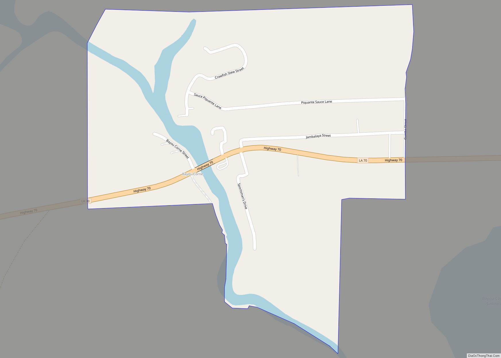
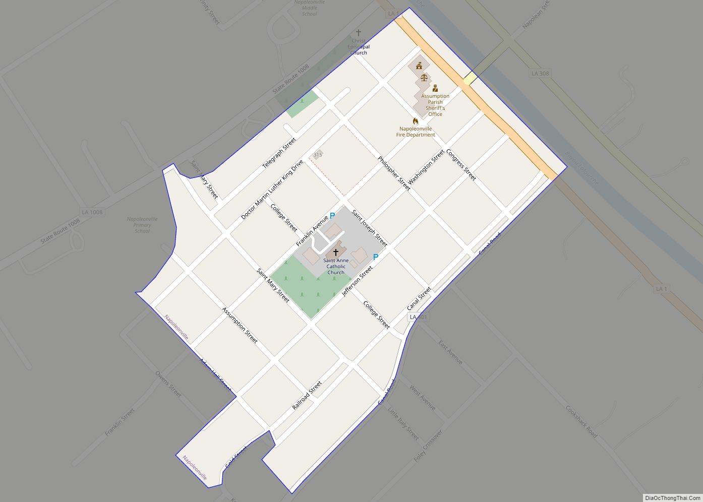
Online Interactive Map
Click on ![]() to view map in "full screen" mode.
to view map in "full screen" mode.
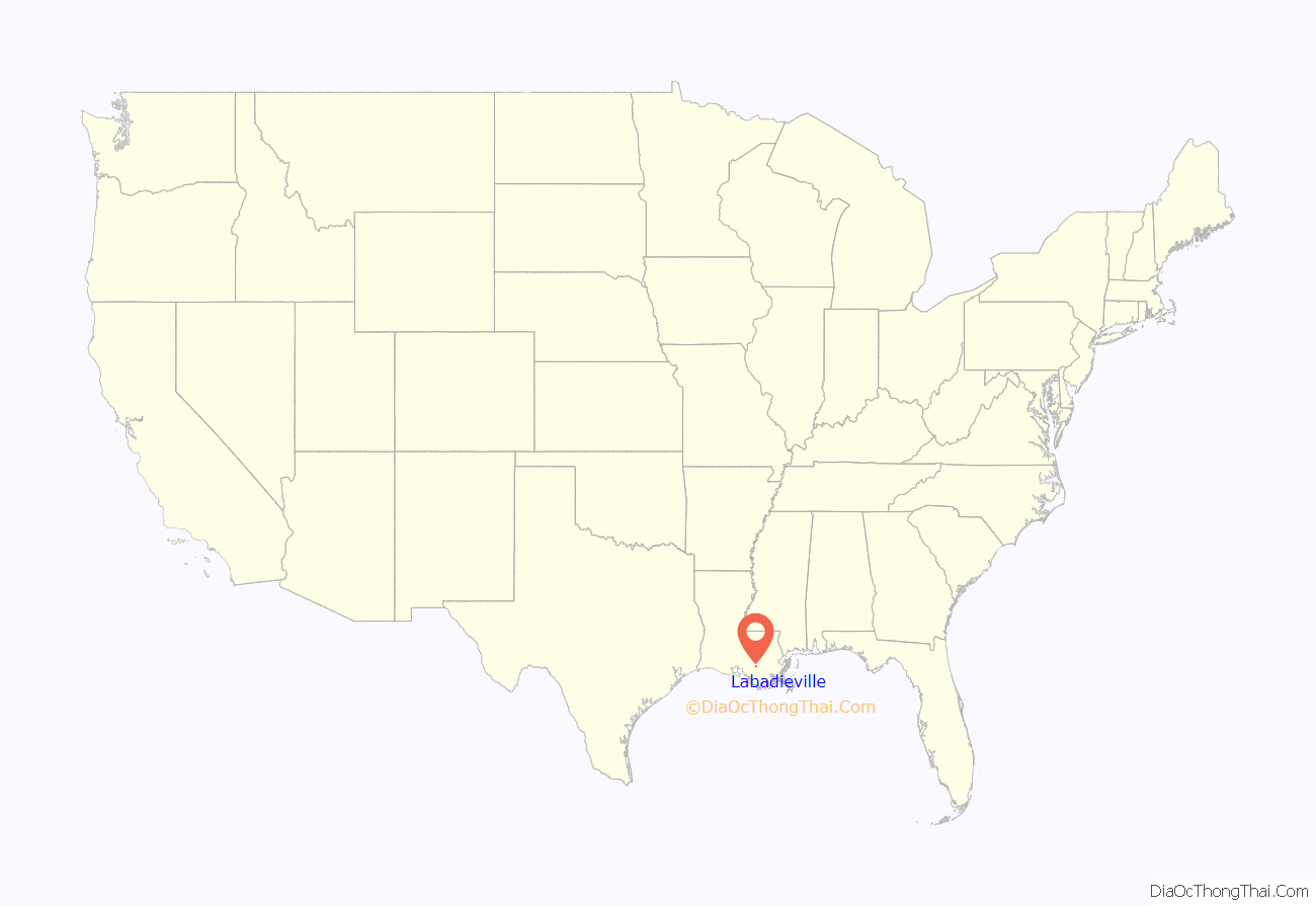
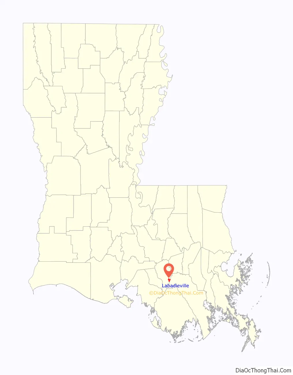
Labadieville location map. Where is Labadieville CDP?
History
Labadieville, originally called “Brûlée Labadie”, takes its name from a French pioneer and resident, Jean Louis L’Abadie. In 1721, there were some fifty warriors of the Chitimacha tribe. During the two decades after 1750, the area around Labadieville was taken up by French and Spanish, joined by Acadians, Isleños and a sprinkling of Germans from the Cote des Allemands or German Coast to the east on the Mississippi River.
In 1843, a mission was established. St. Philomena Catholic Church dates from 1848 as an organized parish, and the first mass was said in the home of Widow Zacharie Boudreaux. The first building was occupied in 1847.
During the Civil War, Labadieville was the scene of the Battle of Georgia Landing, Oct. 27, 1862, between Union forces under Gen. Weitzel and a body of Confederate troops under Brig. Gen. Alfred Mouton. Major General Benjamin F. Butler, commanding Union forces in the Department of the Gulf, launched an expedition into the Bayou Lafourche region to eliminate the Rebel threat from that area, to make sure that sugar and cotton products from there would come into Union hands and, in the future, to use it as a base for other military operations. Gen. Weitzel, Butler’s protégé, with five regiments from the Reserve Brigade, Department of the Gulf (numbering about 4,000 men), left Carrollton, 7 miles (11 km) above New Orleans, on Oct. 24, and went up the Mississippi River in transports conveyed by gunboats. Reaching Donaldsonville the next day, the troops were disembarked. On the 26th, they marched down the Bayou Lafourche 15 miles (24 km) to Napoleonville, but were unable to find the Confederate force known to be in that region. On the 27th Gen. Weitzel continued his march to Labadieville, on the east bank of the bayou, where he found the enemy in considerable force entrenched on both sides of the bayou, with six pieces of artillery in battery. Confederate forces included the 18th Louisiana Infantry Regiment, Crescent Regiment, Ralston’s Battery, Detachment of Cavalry, 33rd Louisiana Infantry Regiment, Terre Bonne Regiment of the Louisiana Militia, Semmes’s Battery and 2nd Louisiana Cavalry Regiment (approx. 1,392 men).
Gen. Weitzel’s troops began skirmishing with Confederate positions on the east bank at about 11:00 a.m. Lacking the artillery support of the troops entrenched on the west bank of the bayou, Confederate troops in these positions retired quickly. By means of a floating bridge Gen. Weitzel began crossing his men to the west bank to attack the Rebel troops there. For some time, these Confederate troops fought resolutely and brought the Union assault to a standstill. However, a lack of artillery ammunition compelled the Confederate forces to abandon these positions as well. Confederate forces retreated up the bayou to Labadieville.
Union losses were 18 killed and 68 wounded. Confederate losses were estimated at 229. Additionally, 206 Confederates were taken prisoner. On the 28th Weitzel entered and occupied Thibodaux, a few miles below Labadieville, and on the 29th communication was opened with New Orleans by means of the New Orleans, Opelousas and Great Western Railroad. The result of the expedition was to open the whole region of the Bayou Lafourche to Union occupation.
In 1905, a canal, called the Cancienne, leading east from Lake Verret to Bayou Lafourche near Napoleonville, was constructed.
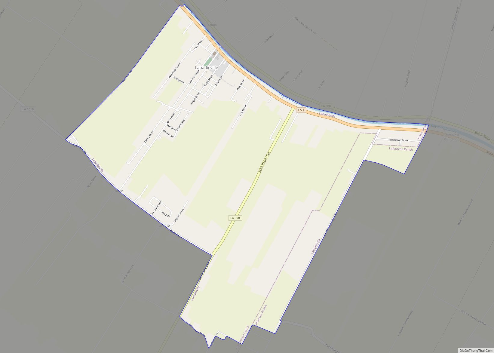
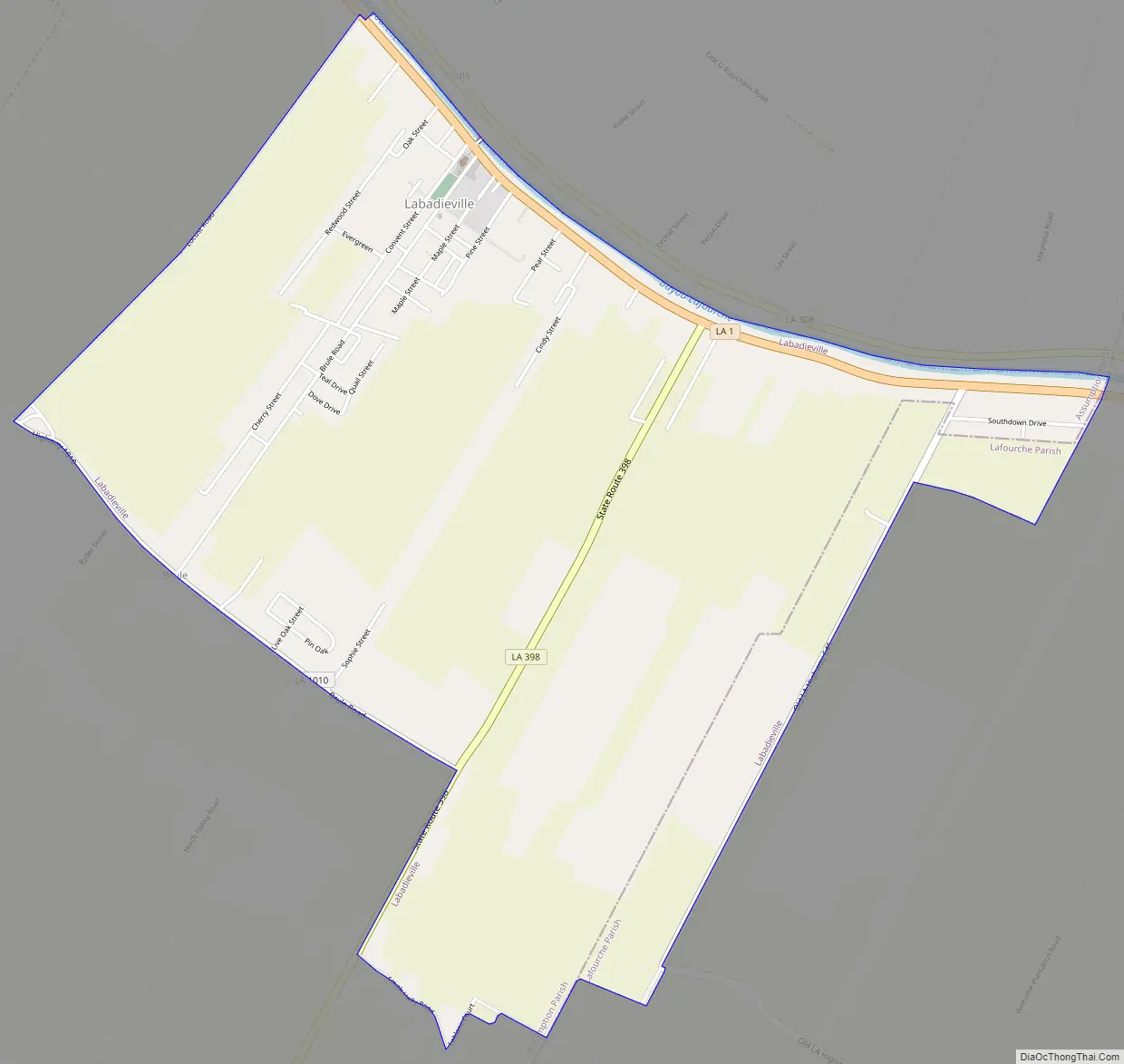
Labadieville Road Map
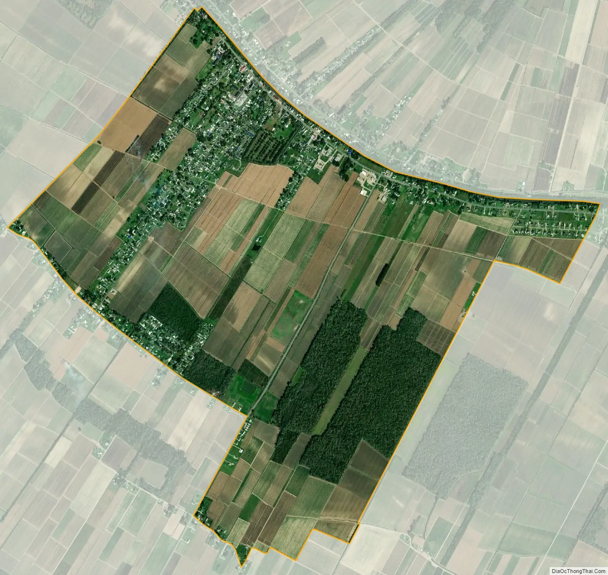
Labadieville city Satellite Map
Geography
Labadieville is located at 29°49′57″N 90°57′17″W / 29.83250°N 90.95472°W / 29.83250; -90.95472 (29.832537, -90.954692).
According to the United States Census Bureau, the CDP has a total area of 3.9 square miles (10.1 km), all land.
See also
Map of Louisiana State and its subdivision:- Acadia
- Allen
- Ascension
- Assumption
- Avoyelles
- Beauregard
- Bienville
- Bossier
- Caddo
- Calcasieu
- Caldwell
- Cameron
- Catahoula
- Claiborne
- Concordia
- De Soto
- East Baton Rouge
- East Carroll
- East Feliciana
- Evangeline
- Franklin
- Grant
- Iberia
- Iberville
- Jackson
- Jefferson
- Jefferson Davis
- La Salle
- Lafayette
- Lafourche
- Lincoln
- Livingston
- Madison
- Morehouse
- Natchitoches
- Orleans
- Ouachita
- Plaquemines
- Pointe Coupee
- Rapides
- Red River
- Richland
- Sabine
- Saint Bernard
- Saint Charles
- Saint Helena
- Saint James
- Saint John the Baptist
- Saint Landry
- Saint Martin
- Saint Mary
- Saint Tammany
- Tangipahoa
- Tensas
- Terrebonne
- Union
- Vermilion
- Vernon
- Washington
- Webster
- West Baton Rouge
- West Carroll
- West Feliciana
- Winn
- Alabama
- Alaska
- Arizona
- Arkansas
- California
- Colorado
- Connecticut
- Delaware
- District of Columbia
- Florida
- Georgia
- Hawaii
- Idaho
- Illinois
- Indiana
- Iowa
- Kansas
- Kentucky
- Louisiana
- Maine
- Maryland
- Massachusetts
- Michigan
- Minnesota
- Mississippi
- Missouri
- Montana
- Nebraska
- Nevada
- New Hampshire
- New Jersey
- New Mexico
- New York
- North Carolina
- North Dakota
- Ohio
- Oklahoma
- Oregon
- Pennsylvania
- Rhode Island
- South Carolina
- South Dakota
- Tennessee
- Texas
- Utah
- Vermont
- Virginia
- Washington
- West Virginia
- Wisconsin
- Wyoming