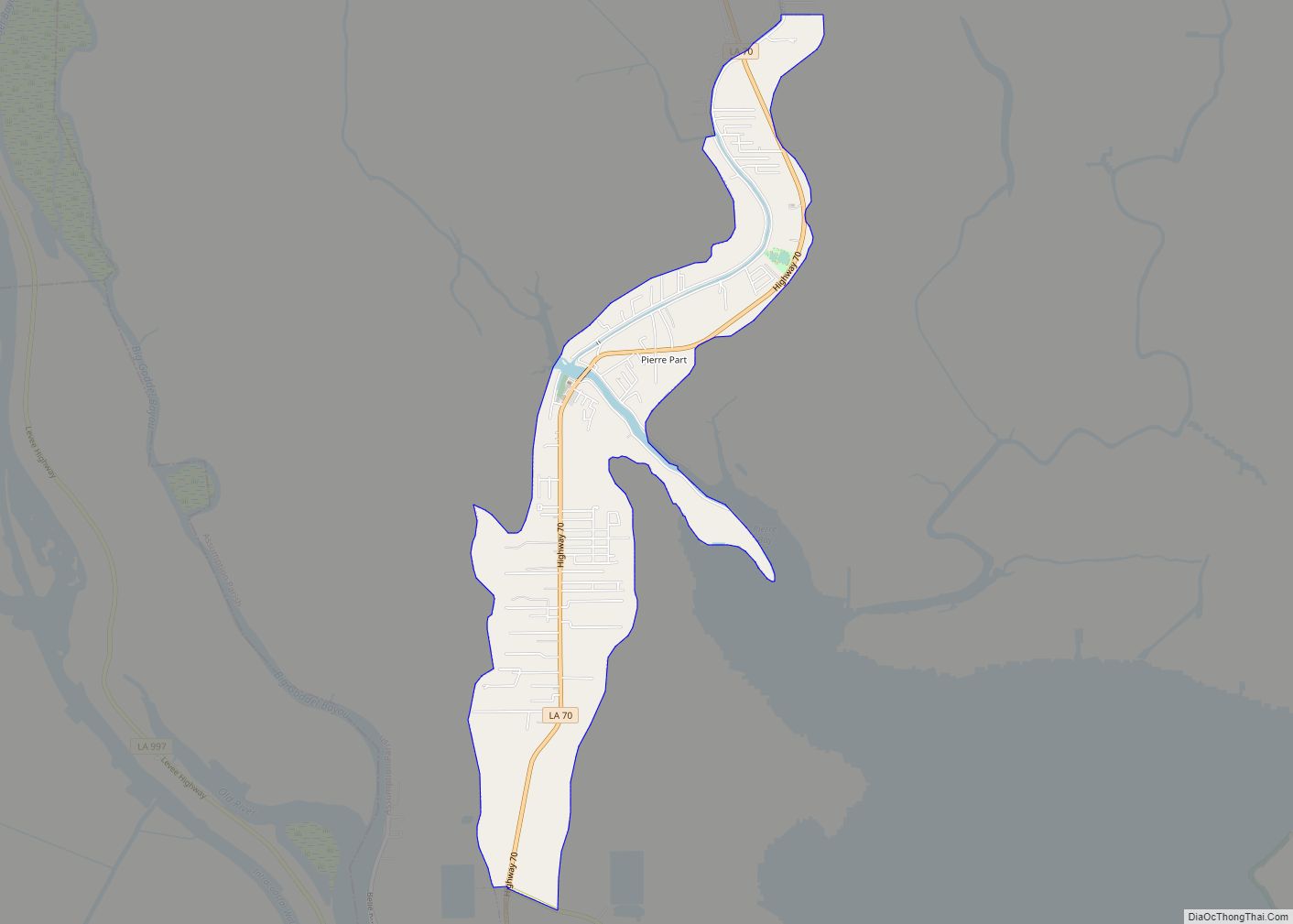
Pierre Part (French: Ville de Pierre Part) is a census-designated place (CDP) in Assumption Parish, Louisiana, United States. The population was 3,169 at the 2010 census, making it the most populous community in Assumption Parish. With 39.3 percent of the population speaking French at home, Pierre Part is the most French town in the United States (by percentage) outside of Maine. Pierre Part is known locally for its prominent French influence and ancestry, which have become significant aspects of its contemporary local culture. Situated near Lake Verret, Pierre Part is a popular local destination for water sports and fishing during the summer.
| Name: | Pierre Part CDP |
|---|---|
| LSAD Code: | 57 |
| LSAD Description: | CDP (suffix) |
| State: | Louisiana |
| County: | Assumption Parish |
| Elevation: | 3 ft (0.9 m) |
| Total Area: | 3.08 sq mi (7.98 km²) |
| Land Area: | 3.07 sq mi (7.96 km²) |
| Water Area: | 0.01 sq mi (0.03 km²) |
| Total Population: | 3,024 |
| Population Density: | 984.05/sq mi (379.99/km²) |
| Area code: | 985 |
| FIPS code: | 2260075 |
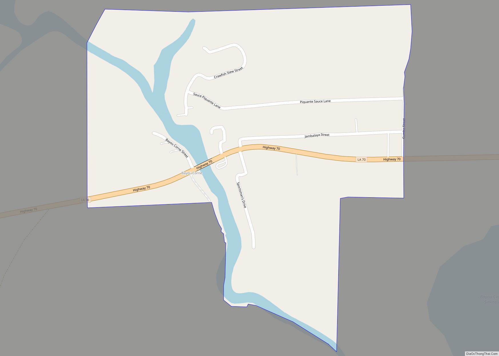
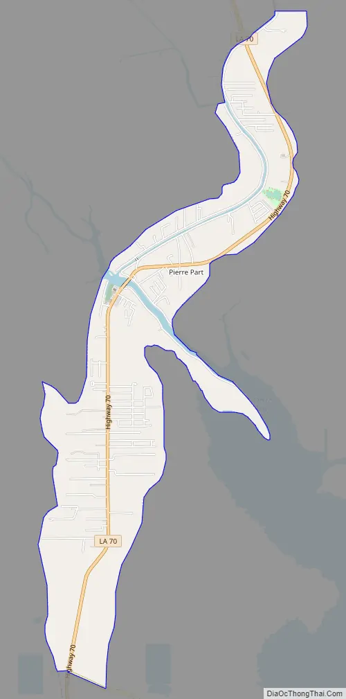
Online Interactive Map
Click on ![]() to view map in "full screen" mode.
to view map in "full screen" mode.
Pierre Part location map. Where is Pierre Part CDP?


History
Pierre Part was founded by Acadian French settlers after the Great Upheaval of 1755, during which much of the French population of Acadia was expelled by its British conquerors. The town remained isolated from most of the world, since it was surrounded by water and was inaccessible by land until the mid-twentieth century. Before the Great Depression, the inhabitants of Pierre Part were fishermen; after the Depression, many men of the town were forced to find work in other fields including logging, levee building, and the growing petroleum industry in Louisiana. Fewer people continue the traditional ways of fishing and living off the land with each generation.
Pierre Part experienced flooding when the Morganza Spillway was opened during the 1973 Mississippi River flooding.
The History Channel’s reality show, Swamp People, features the Landry family, a Cajun family who lives in Pierre Part; the series debuted on History in 2010.
On August 3, 2012, the Bayou Corne Sinkhole, situated roughly 3 miles from Pierre Part, appeared. In areas of Pierre Part near the sinkhole, residents reported gaseous odors and strange bubbling in local waterways, prompting Governor Bobby Jindal to issue an evacuation order for the nearby community of Bayou Corne. The sinkhole expanded significantly during the months after it first appeared, invoking fear in residents of Pierre Part due to what was perceived to be an imminent threat to the community. Significantly, the sinkhole continued to grow in the direction of Louisiana Highway 70, the main highway on which most residents drove. Public outrage to the events in Bayou Corne was largely directed towards Texas Brine Company, the salt mining company perceived to be chiefly responsible for the disaster; a class-action lawsuit against Texas Brine ensued. However, a 2018 court ruling declared the fault to be shared between three companies: Occidental Chemical was 50% at fault, Texas Brine was 35% at fault, and Vulcan was 15% at fault. As of 2019, the sinkhole continues to expand, albeit slowly, and the community of Bayou Corne remains deserted, with most homes demolished by demolition companies.
Pierre Part Road Map
Pierre Part city Satellite Map

Geography
Pierre Part is located at 29°57′40″N 91°12′24″W / 29.96111°N 91.20667°W / 29.96111; -91.20667 (29.960975, -91.206612). According to the United States Census Bureau, the CDP has a total area of 3.08 square miles (7.98 km), of which 3.07 square miles (7.95 km) is land and 0.012 square miles (0.03 km), or 0.37%, is water.
See also
Map of Louisiana State and its subdivision:- Acadia
- Allen
- Ascension
- Assumption
- Avoyelles
- Beauregard
- Bienville
- Bossier
- Caddo
- Calcasieu
- Caldwell
- Cameron
- Catahoula
- Claiborne
- Concordia
- De Soto
- East Baton Rouge
- East Carroll
- East Feliciana
- Evangeline
- Franklin
- Grant
- Iberia
- Iberville
- Jackson
- Jefferson
- Jefferson Davis
- La Salle
- Lafayette
- Lafourche
- Lincoln
- Livingston
- Madison
- Morehouse
- Natchitoches
- Orleans
- Ouachita
- Plaquemines
- Pointe Coupee
- Rapides
- Red River
- Richland
- Sabine
- Saint Bernard
- Saint Charles
- Saint Helena
- Saint James
- Saint John the Baptist
- Saint Landry
- Saint Martin
- Saint Mary
- Saint Tammany
- Tangipahoa
- Tensas
- Terrebonne
- Union
- Vermilion
- Vernon
- Washington
- Webster
- West Baton Rouge
- West Carroll
- West Feliciana
- Winn
- Alabama
- Alaska
- Arizona
- Arkansas
- California
- Colorado
- Connecticut
- Delaware
- District of Columbia
- Florida
- Georgia
- Hawaii
- Idaho
- Illinois
- Indiana
- Iowa
- Kansas
- Kentucky
- Louisiana
- Maine
- Maryland
- Massachusetts
- Michigan
- Minnesota
- Mississippi
- Missouri
- Montana
- Nebraska
- Nevada
- New Hampshire
- New Jersey
- New Mexico
- New York
- North Carolina
- North Dakota
- Ohio
- Oklahoma
- Oregon
- Pennsylvania
- Rhode Island
- South Carolina
- South Dakota
- Tennessee
- Texas
- Utah
- Vermont
- Virginia
- Washington
- West Virginia
- Wisconsin
- Wyoming