Lacassine (French: La Cassine) is an unincorporated community and census-designated place (CDP) in Jefferson Davis Parish in the U.S. state of Louisiana. As of the 2010 census the population was 480.
| Name: | Lacassine CDP |
|---|---|
| LSAD Code: | 57 |
| LSAD Description: | CDP (suffix) |
| State: | Louisiana |
| County: | Jefferson Davis Parish |
| Elevation: | 21 ft (6 m) |
| Total Area: | 1.75 sq mi (4.53 km²) |
| Land Area: | 1.75 sq mi (4.53 km²) |
| Water Area: | 0.00 sq mi (0.00 km²) |
| Total Population: | 490 |
| Population Density: | 280.00/sq mi (108.11/km²) |
| ZIP code: | 70650 |
| Area code: | 337 |
| FIPS code: | 2240595 |
| GNISfeature ID: | 554960 |
Online Interactive Map
Click on ![]() to view map in "full screen" mode.
to view map in "full screen" mode.
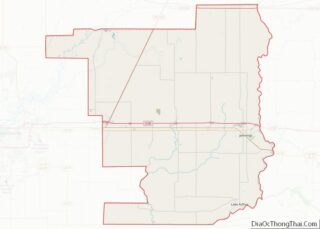
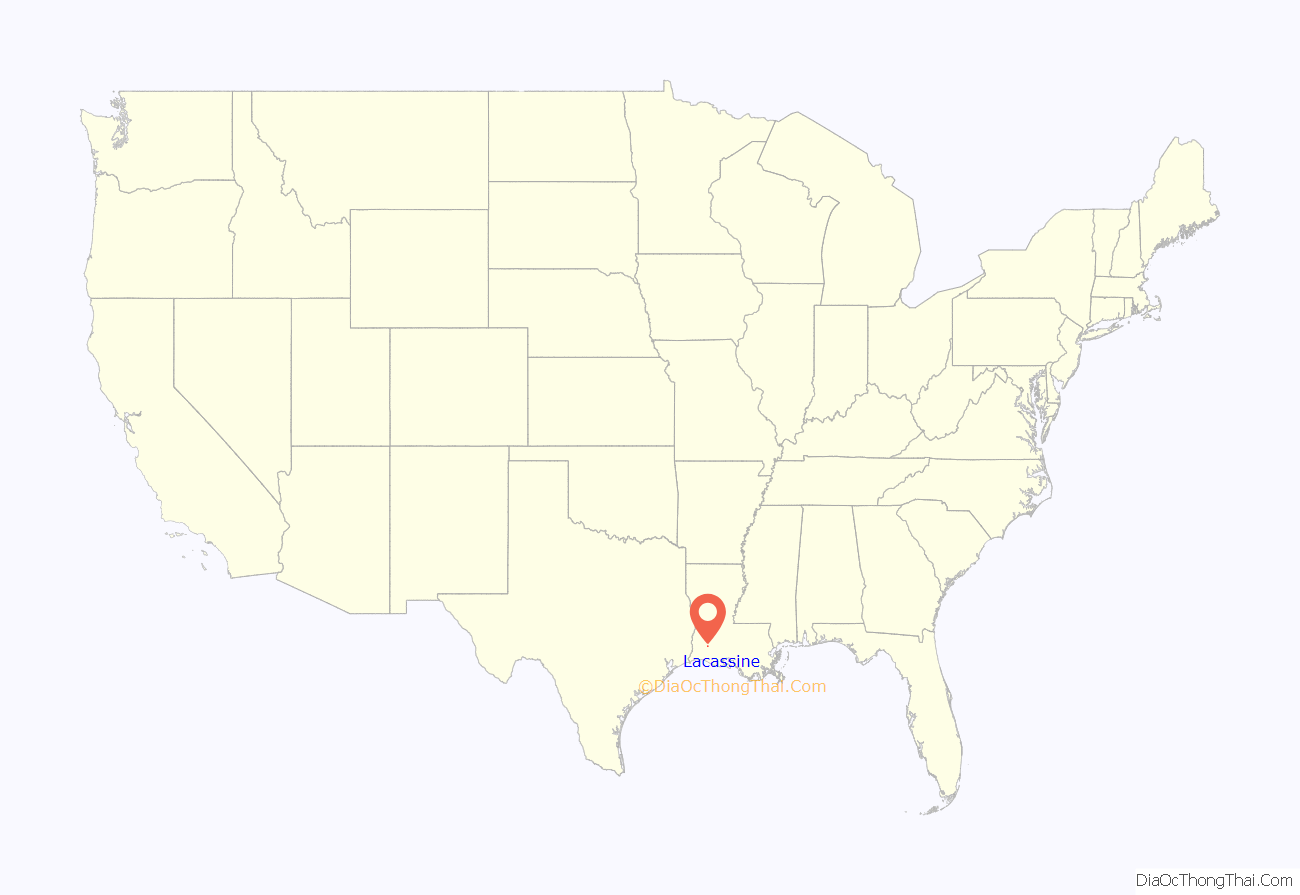
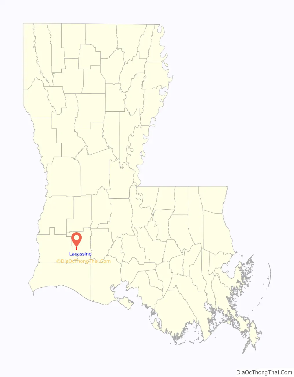
Lacassine location map. Where is Lacassine CDP?
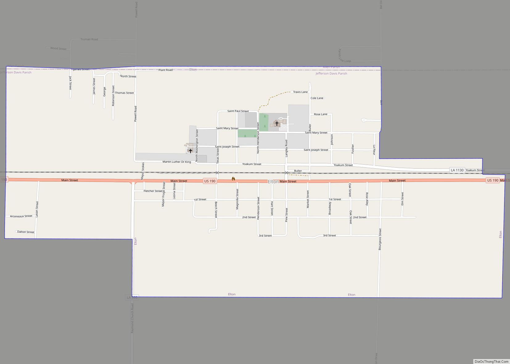
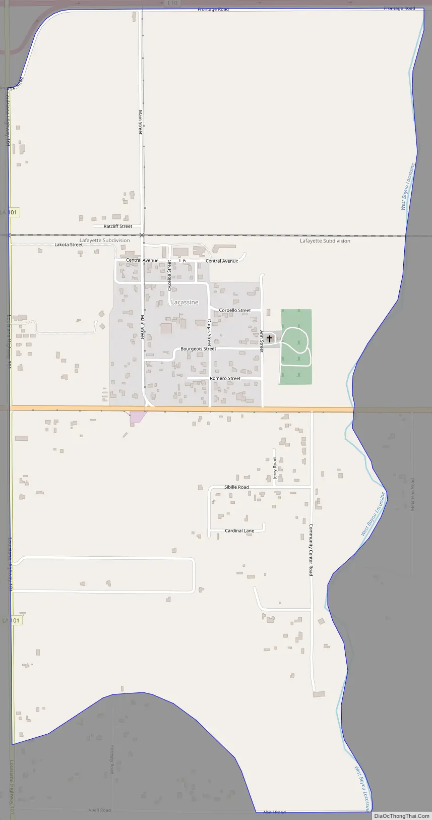
Lacassine Road Map
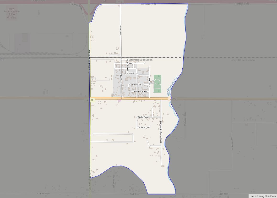
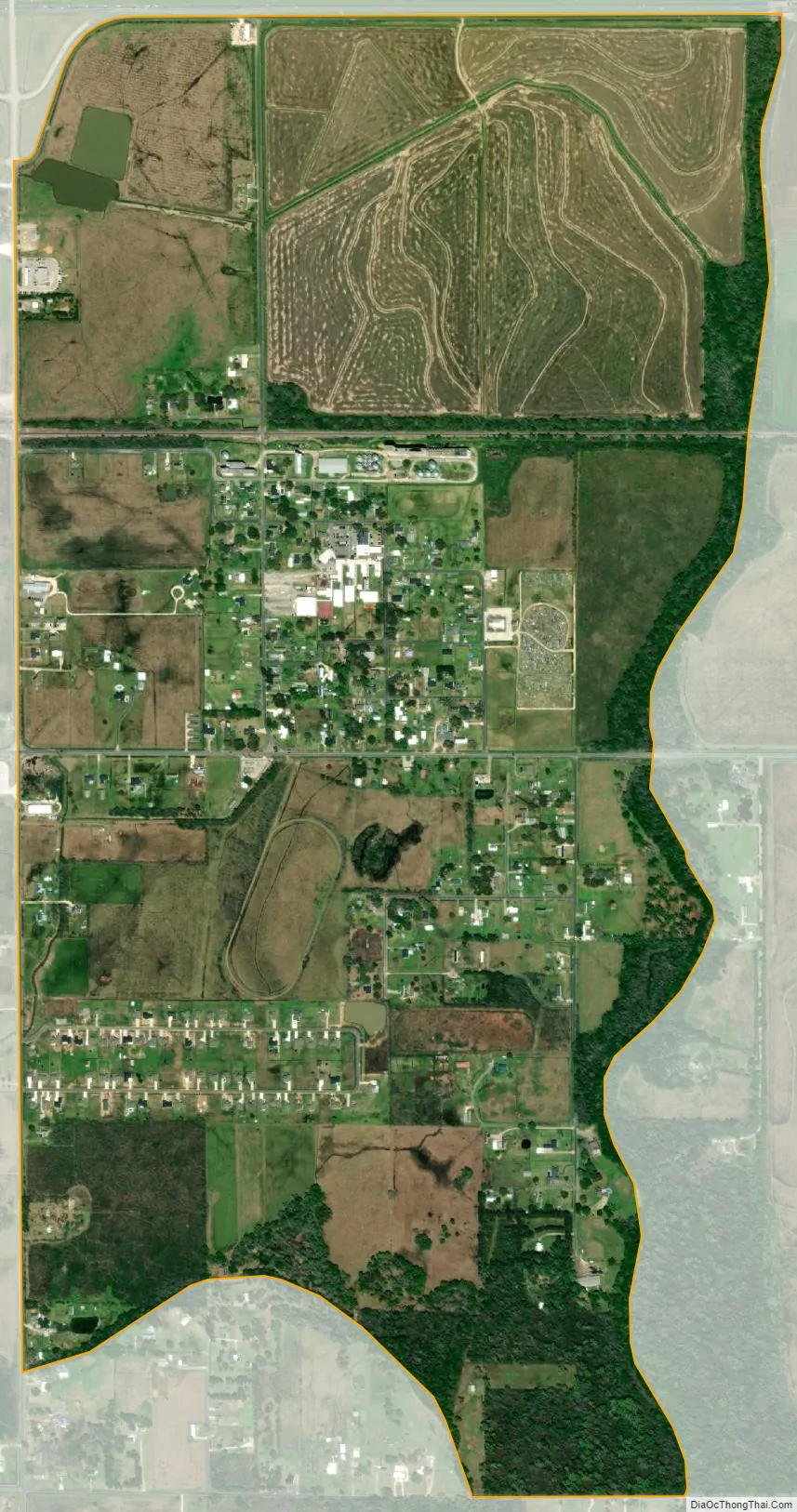
Lacassine city Satellite Map
Geography
Lacassine is in western Jefferson Davis Parish along U.S. Route 90, which leads west 6 miles (10 km) to Iowa and east the same distance to Welsh. Interstate 10 runs along the northern edge of Lacassine, with access from Exit 48 (Louisiana Highway 101). I-10 leads west 18 miles (29 km) to Lake Charles and east the same distance to Jennings, the Jefferson Davis parish seat.
According to the U.S. Census Bureau, the Lacassine CDP has an area of 1.7 square miles (4.5 km), all of it land. West Bayou Lacassine flows southward along the eastern edge of the community, reaching tidewater at Lacassine National Wildlife Refuge 15 miles (24 km) to the south.
See also
Map of Louisiana State and its subdivision:- Acadia
- Allen
- Ascension
- Assumption
- Avoyelles
- Beauregard
- Bienville
- Bossier
- Caddo
- Calcasieu
- Caldwell
- Cameron
- Catahoula
- Claiborne
- Concordia
- De Soto
- East Baton Rouge
- East Carroll
- East Feliciana
- Evangeline
- Franklin
- Grant
- Iberia
- Iberville
- Jackson
- Jefferson
- Jefferson Davis
- La Salle
- Lafayette
- Lafourche
- Lincoln
- Livingston
- Madison
- Morehouse
- Natchitoches
- Orleans
- Ouachita
- Plaquemines
- Pointe Coupee
- Rapides
- Red River
- Richland
- Sabine
- Saint Bernard
- Saint Charles
- Saint Helena
- Saint James
- Saint John the Baptist
- Saint Landry
- Saint Martin
- Saint Mary
- Saint Tammany
- Tangipahoa
- Tensas
- Terrebonne
- Union
- Vermilion
- Vernon
- Washington
- Webster
- West Baton Rouge
- West Carroll
- West Feliciana
- Winn
- Alabama
- Alaska
- Arizona
- Arkansas
- California
- Colorado
- Connecticut
- Delaware
- District of Columbia
- Florida
- Georgia
- Hawaii
- Idaho
- Illinois
- Indiana
- Iowa
- Kansas
- Kentucky
- Louisiana
- Maine
- Maryland
- Massachusetts
- Michigan
- Minnesota
- Mississippi
- Missouri
- Montana
- Nebraska
- Nevada
- New Hampshire
- New Jersey
- New Mexico
- New York
- North Carolina
- North Dakota
- Ohio
- Oklahoma
- Oregon
- Pennsylvania
- Rhode Island
- South Carolina
- South Dakota
- Tennessee
- Texas
- Utah
- Vermont
- Virginia
- Washington
- West Virginia
- Wisconsin
- Wyoming