Lillie is a village in Union Parish, Louisiana, United States. The population was 118 at the 2010 census, a decrease from 139 in 2000. It is part of the Monroe Metropolitan Statistical Area.
According to a 2007 report, Lillie was named one of the 10 worst speed traps in the state of Louisiana. Lillie made 85.59% of its revenue, an average of roughly $508 per capita population, from fines and forfeitures in the 2005 fiscal year.
| Name: | Lillie village |
|---|---|
| LSAD Code: | 47 |
| LSAD Description: | village (suffix) |
| State: | Louisiana |
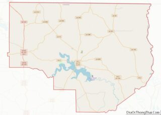
| County: | Union Parish |
| Elevation: | 121 ft (37 m) |
| Total Area: | 1.94 sq mi (5.02 km²) |
| Land Area: | 1.93 sq mi (5.00 km²) |
| Water Area: | 0.01 sq mi (0.03 km²) |
| Total Population: | 111 |
| Population Density: | 57.54/sq mi (22.22/km²) |
| Area code: | 318 |
| FIPS code: | 2243920 |
Online Interactive Map
Click on ![]() to view map in "full screen" mode.
to view map in "full screen" mode.
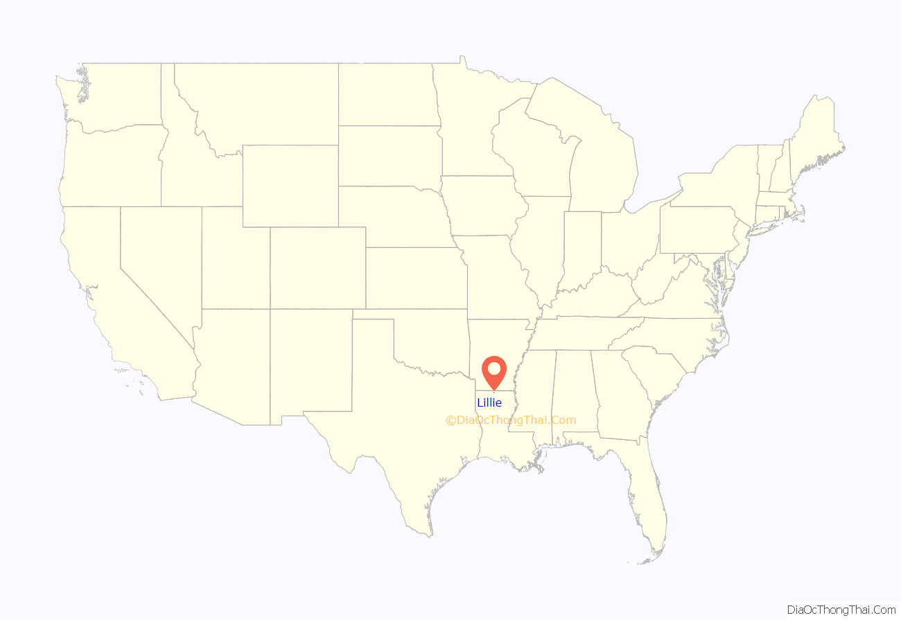
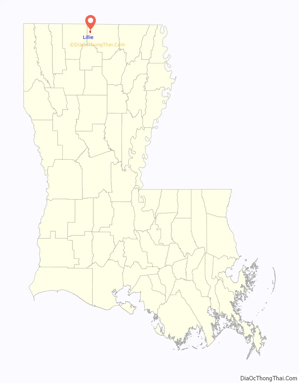
Lillie location map. Where is Lillie village?
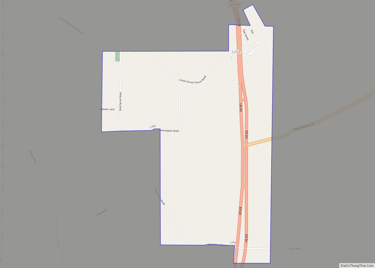
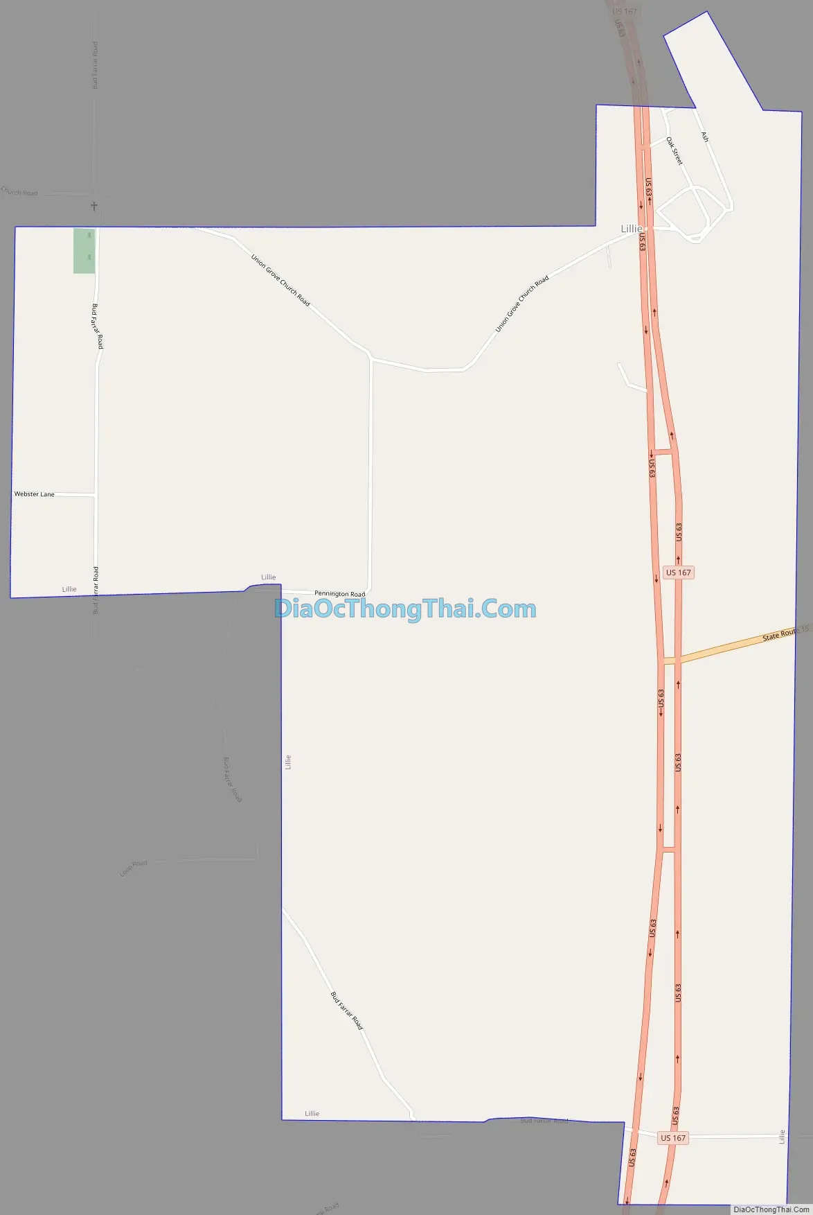
Lillie Road Map
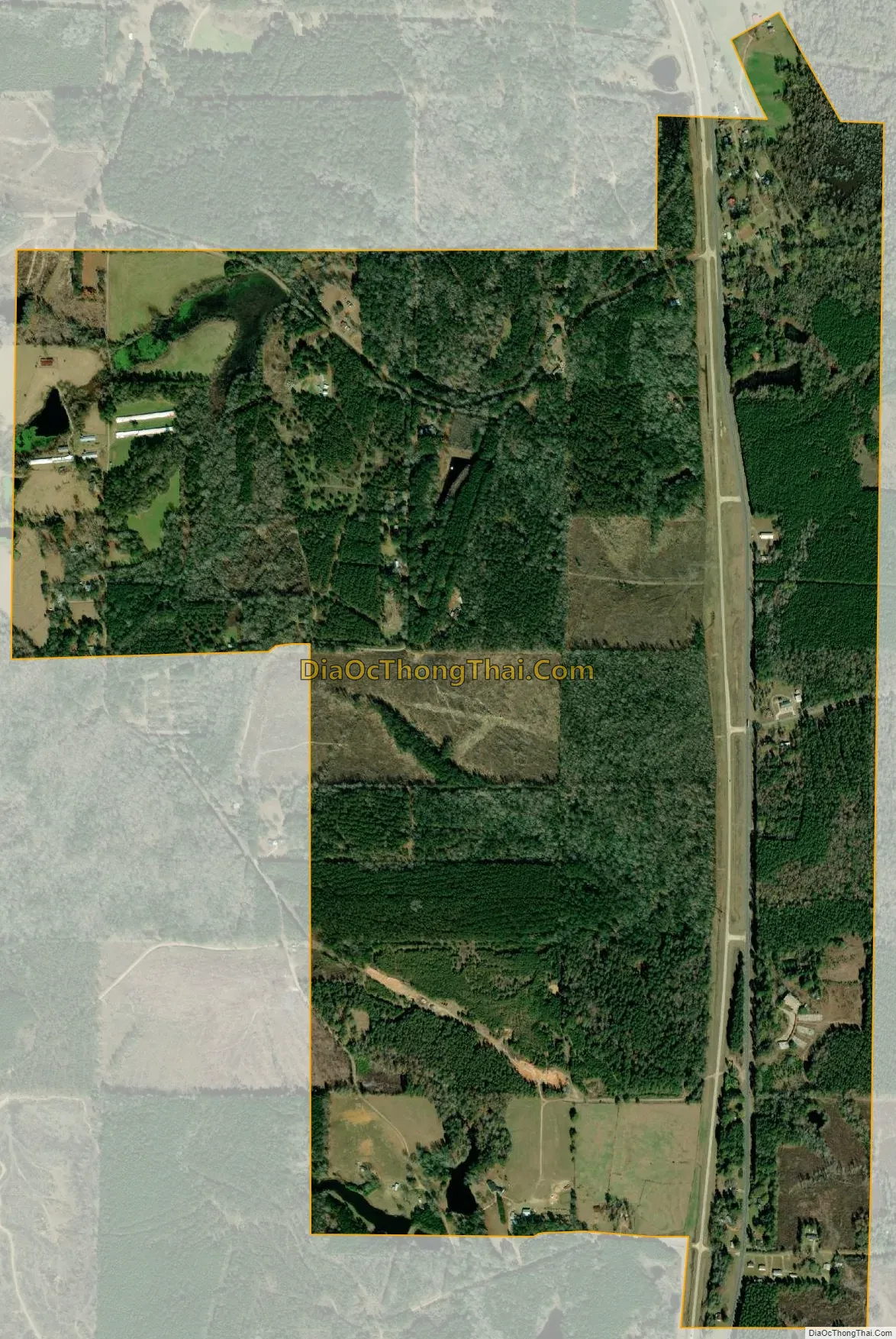
Lillie city Satellite Map
Geography
Lillie is located at 32°55′13″N 92°39′42″W / 32.92028°N 92.66167°W / 32.92028; -92.66167 (32.920319, -92.661563).
According to the United States Census Bureau, the village has a total area of 1.9 square miles (5.0 km), of which 1.9 square miles (5.0 km) is land and 0.04 square mile (0.1 km) (1.03%) is water.
Lillie has a humid subtropical climate (Koppen Cfa). It experiences hot, humid summers and mild winters.
See also
Map of Louisiana State and its subdivision:- Acadia
- Allen
- Ascension
- Assumption
- Avoyelles
- Beauregard
- Bienville
- Bossier
- Caddo
- Calcasieu
- Caldwell
- Cameron
- Catahoula
- Claiborne
- Concordia
- De Soto
- East Baton Rouge
- East Carroll
- East Feliciana
- Evangeline
- Franklin
- Grant
- Iberia
- Iberville
- Jackson
- Jefferson
- Jefferson Davis
- La Salle
- Lafayette
- Lafourche
- Lincoln
- Livingston
- Madison
- Morehouse
- Natchitoches
- Orleans
- Ouachita
- Plaquemines
- Pointe Coupee
- Rapides
- Red River
- Richland
- Sabine
- Saint Bernard
- Saint Charles
- Saint Helena
- Saint James
- Saint John the Baptist
- Saint Landry
- Saint Martin
- Saint Mary
- Saint Tammany
- Tangipahoa
- Tensas
- Terrebonne
- Union
- Vermilion
- Vernon
- Washington
- Webster
- West Baton Rouge
- West Carroll
- West Feliciana
- Winn
- Alabama
- Alaska
- Arizona
- Arkansas
- California
- Colorado
- Connecticut
- Delaware
- District of Columbia
- Florida
- Georgia
- Hawaii
- Idaho
- Illinois
- Indiana
- Iowa
- Kansas
- Kentucky
- Louisiana
- Maine
- Maryland
- Massachusetts
- Michigan
- Minnesota
- Mississippi
- Missouri
- Montana
- Nebraska
- Nevada
- New Hampshire
- New Jersey
- New Mexico
- New York
- North Carolina
- North Dakota
- Ohio
- Oklahoma
- Oregon
- Pennsylvania
- Rhode Island
- South Carolina
- South Dakota
- Tennessee
- Texas
- Utah
- Vermont
- Virginia
- Washington
- West Virginia
- Wisconsin
- Wyoming