Many (/ˈmæni/) is a town in, and the parish seat of Sabine Parish in western Louisiana, United States. The population was 2,853 at the 2010 census, a decrease of 36 or 1.246 percent from 2000.
| Name: | Many town |
|---|---|
| LSAD Code: | 43 |
| LSAD Description: | town (suffix) |
| State: | Louisiana |
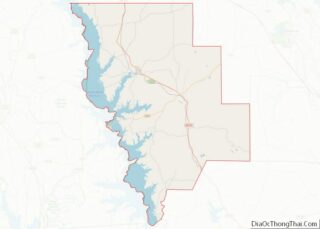
| County: | Sabine Parish |
| Elevation: | 276 ft (84 m) |
| Total Area: | 3.41 sq mi (8.82 km²) |
| Land Area: | 3.41 sq mi (8.82 km²) |
| Water Area: | 0.00 sq mi (0.00 km²) |
| Total Population: | 2,571 |
| Population Density: | 754.62/sq mi (291.37/km²) |
| ZIP code: | 71449 |
| Area code: | 318 |
| FIPS code: | 2248470 |
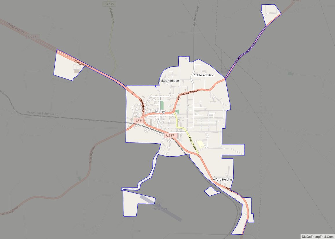
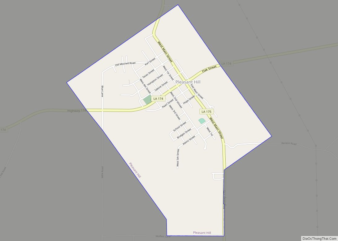
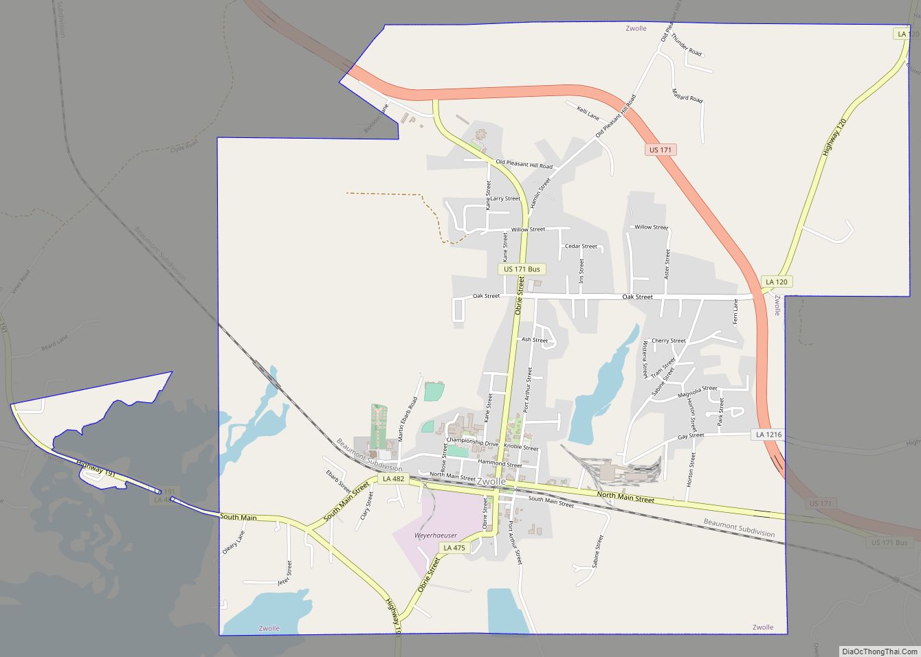
Online Interactive Map
Click on ![]() to view map in "full screen" mode.
to view map in "full screen" mode.
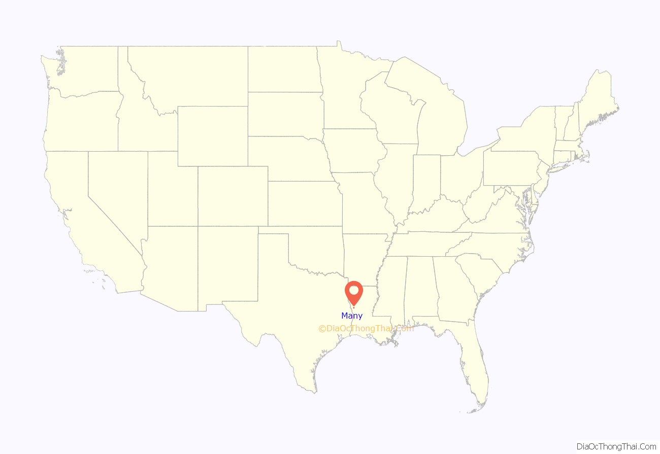
Many location map. Where is Many town?
History
The site where Many currently sits was originally a Belgian settlement believed to be founded in 1837. The Town of Many was officially founded March 21, 1843, when the Louisiana Legislature passed Act 46. The act split Natchitoches Parish into several new parishes, including Sabine Parish. That Act declared that the seat of government for the newly created Sabine Parish, be named in honor of Colonel James B. Many, who commanded the garrison at the nearby Fort Jesup.
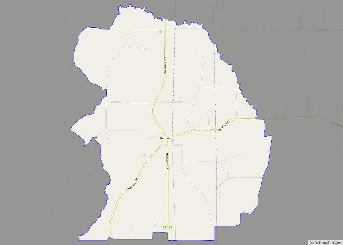
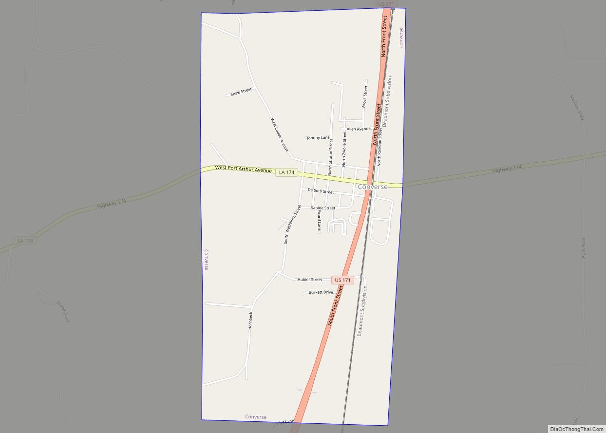
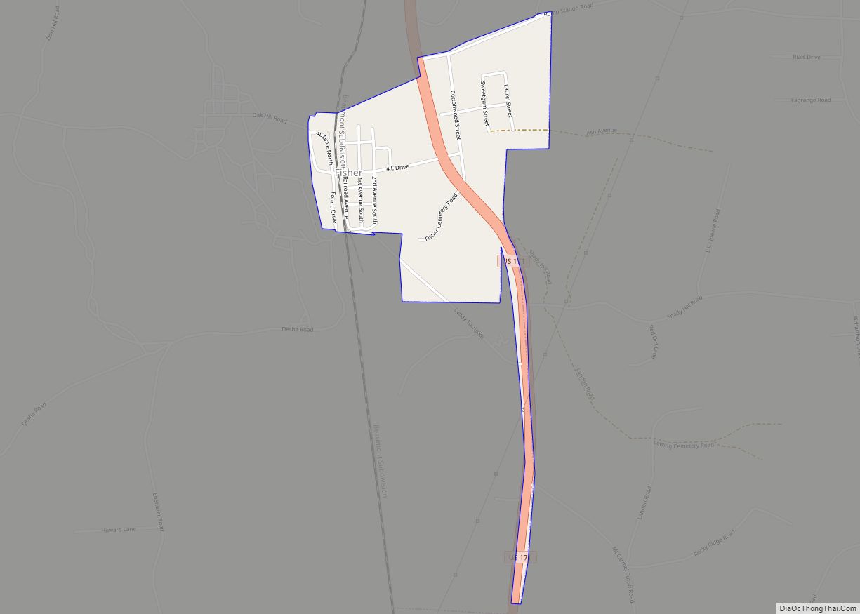
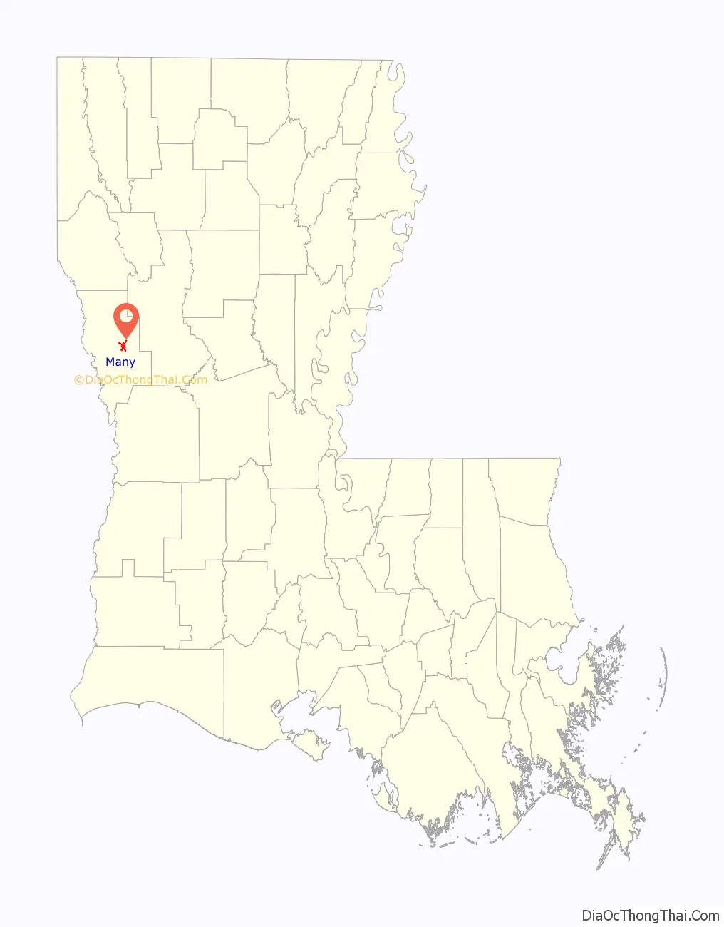
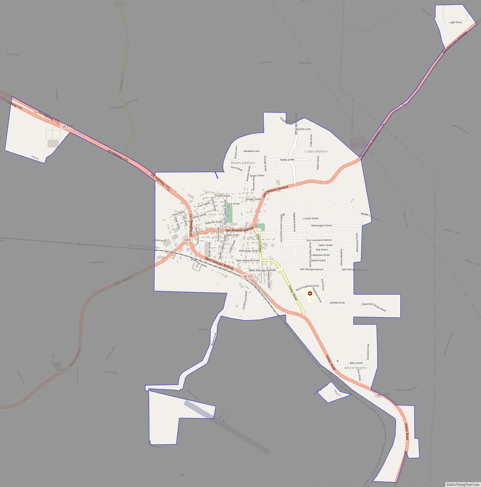
Many Road Map
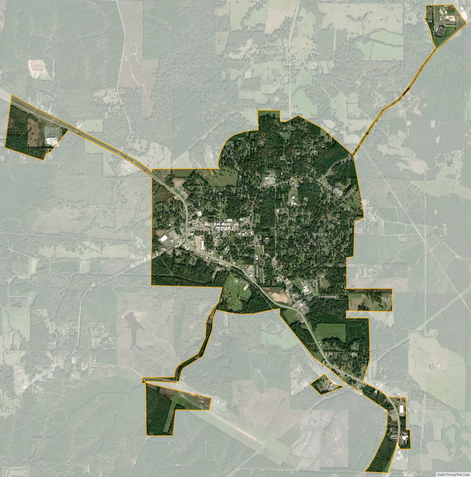
Many city Satellite Map
Geography
Many is located at 31°34′4″N 93°28′40″W / 31.56778°N 93.47778°W / 31.56778; -93.47778 (31.567769, -93.477721). According to the United States Census Bureau, the town has a total area of 3.1 square miles (8.0 km), all land.
Climate
Climate is characterized by relatively high temperatures and evenly distributed precipitation throughout the year. According to the Köppen Climate Classification system, Many has a humid subtropical climate, abbreviated “Cfa” on climate maps.
See also
Map of Louisiana State and its subdivision:- Acadia
- Allen
- Ascension
- Assumption
- Avoyelles
- Beauregard
- Bienville
- Bossier
- Caddo
- Calcasieu
- Caldwell
- Cameron
- Catahoula
- Claiborne
- Concordia
- De Soto
- East Baton Rouge
- East Carroll
- East Feliciana
- Evangeline
- Franklin
- Grant
- Iberia
- Iberville
- Jackson
- Jefferson
- Jefferson Davis
- La Salle
- Lafayette
- Lafourche
- Lincoln
- Livingston
- Madison
- Morehouse
- Natchitoches
- Orleans
- Ouachita
- Plaquemines
- Pointe Coupee
- Rapides
- Red River
- Richland
- Sabine
- Saint Bernard
- Saint Charles
- Saint Helena
- Saint James
- Saint John the Baptist
- Saint Landry
- Saint Martin
- Saint Mary
- Saint Tammany
- Tangipahoa
- Tensas
- Terrebonne
- Union
- Vermilion
- Vernon
- Washington
- Webster
- West Baton Rouge
- West Carroll
- West Feliciana
- Winn
- Alabama
- Alaska
- Arizona
- Arkansas
- California
- Colorado
- Connecticut
- Delaware
- District of Columbia
- Florida
- Georgia
- Hawaii
- Idaho
- Illinois
- Indiana
- Iowa
- Kansas
- Kentucky
- Louisiana
- Maine
- Maryland
- Massachusetts
- Michigan
- Minnesota
- Mississippi
- Missouri
- Montana
- Nebraska
- Nevada
- New Hampshire
- New Jersey
- New Mexico
- New York
- North Carolina
- North Dakota
- Ohio
- Oklahoma
- Oregon
- Pennsylvania
- Rhode Island
- South Carolina
- South Dakota
- Tennessee
- Texas
- Utah
- Vermont
- Virginia
- Washington
- West Virginia
- Wisconsin
- Wyoming